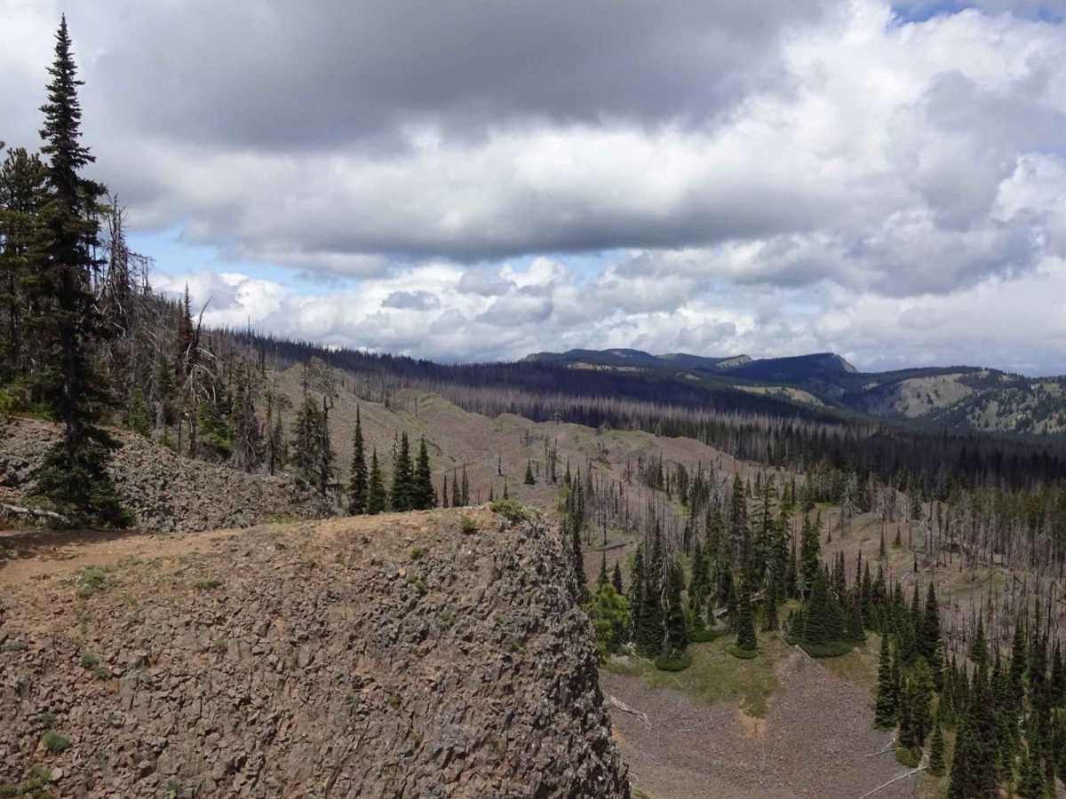
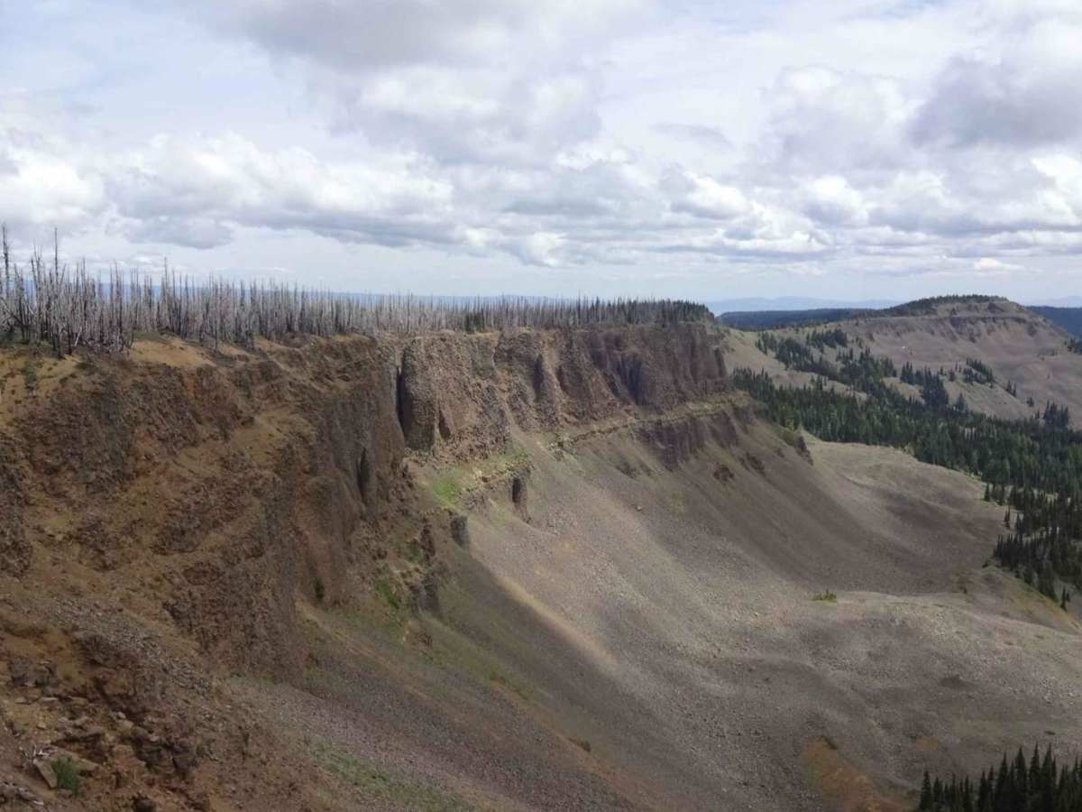
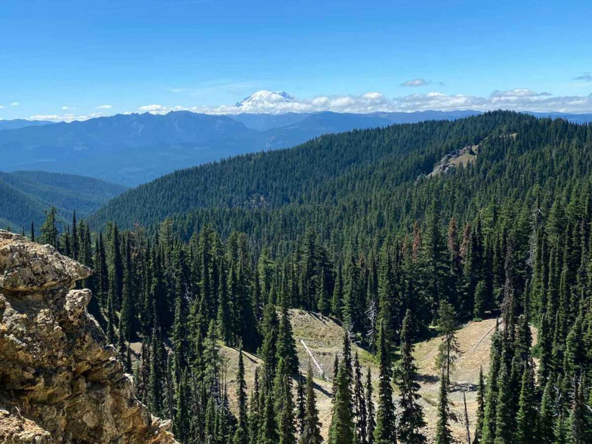
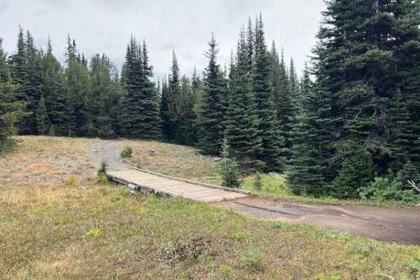
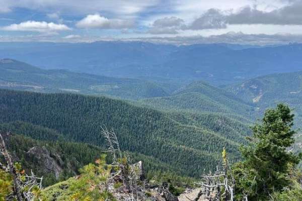
Manastash Ridge

Total Miles 6.9
Technical Rating
3 Easy
Best Time Summer, Fall
Trail Type High-Clearance 4x4 Trail
Accessible By
Open Trail Map

Trail Overview

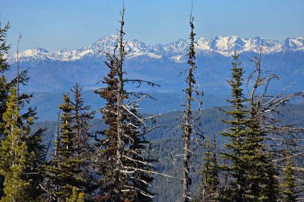
The trail opens June 15th each year. Manastash Ridge Trail is within the Manastash Ridge ORV area in the Okanogan-Wenatchee National Forest. It runs along Manastash Ridge, offering great views of Mount Rainier and Mount Adams and the lush valleys below. This trail includes steep and challenging hill climbs and has a small section for moderate rock crawling. It is one of the longest trails in the area and ends at Quartz Mountain, where you can enjoy stunning views. You can see Mount Rainier and Mount Adams to the south, and the Cascade Mountains extend to the north. Many other trails connect with Manastash Ridge, allowing you to create routes for a long day of fun or an entire weekend off-roading.

Photos of Manastash Ridge

Difficulty

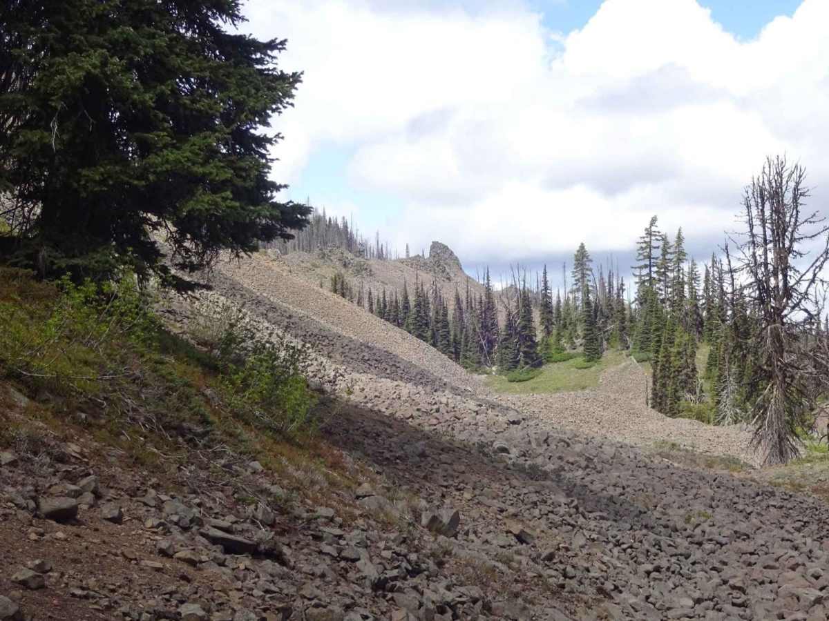
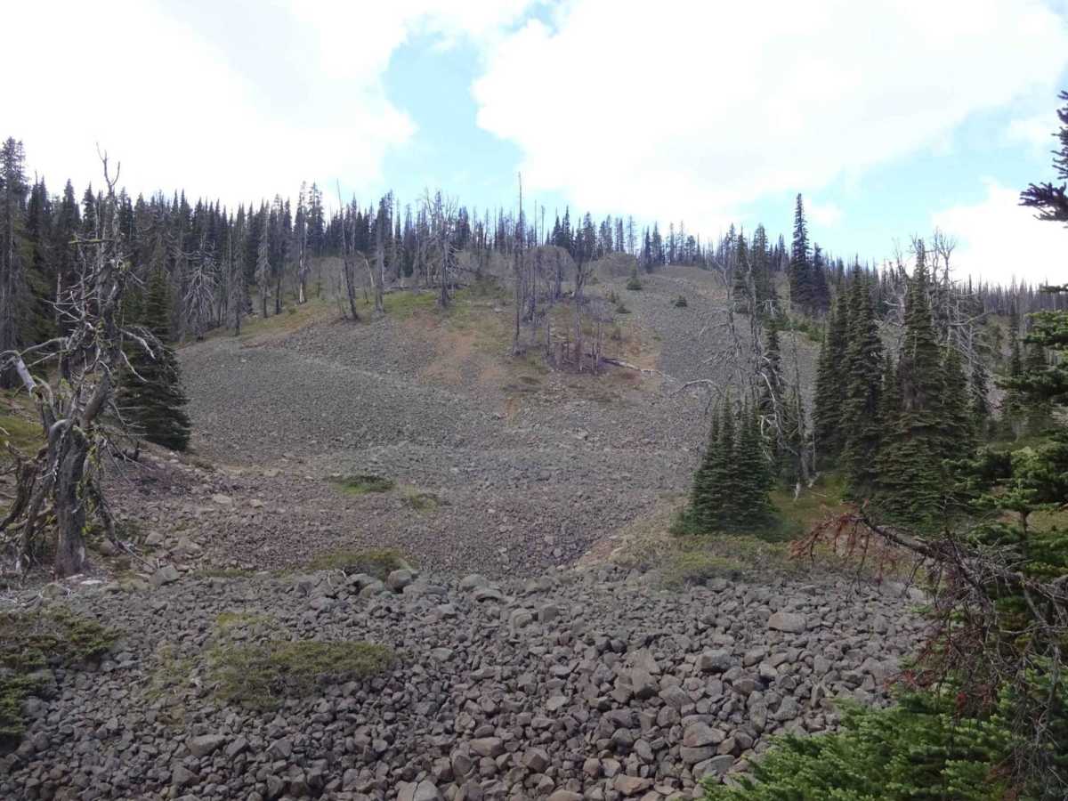
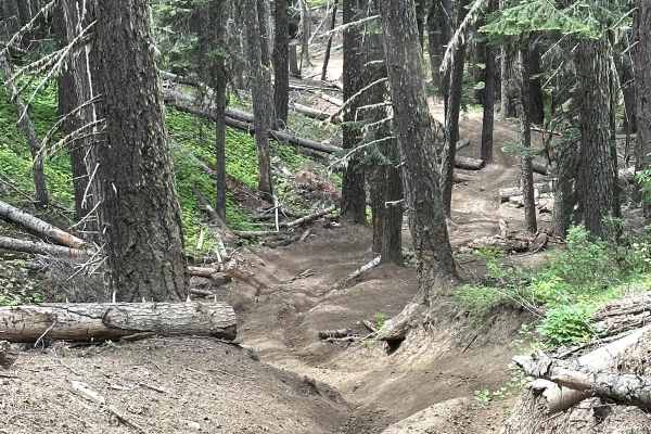
The terrain consists of well-compacted dirt mixed with basalt rock gravel. There are areas for pull-off spots for vehicles to pass, although some areas may present narrower passages where there is a potential for side panel contact. The route is characterized by steep climbs and descents, in addition to sections suitable for small boulder crawling. Long flat stretches of hardpan and basalt rock make for a nice place to pull over and stretch your legs.

Technical Rating

3

Status Reports

Add Status Report
Gilbert Justiss
Sep 17, 2025
Open
We traveled the trail north from Kaner Flat trail to Wells Meadow trail. Extremely dry and dusty conditions. Several locations exist suitable for camping. Due to tight clearances travel with anything wider than a Wrangler is not advised. Also due to tight turns with obstacles travel with a 4 door Wrangler may be a challenging. We saw a nice 4 point buck deer at one point.
Jake Paschall
Aug 17, 2025
Open
The east end of this trail ends at a cliff where you will need to turn back. It does NOT connect to FS 4W694 as it appears on the map. I had to back track and take Shoestring Trail to eventually get onto Milk Creek Road and off the mountain.
Blake van Voorhies
Jul 25, 2025
Open
Babyhead-sized rocks with loose and steep ascents/descents. We didn’t attempt to get past the Mini Rubicon area. It was very steep there with very large rocks. Looked like a hard enduro course. Challenging route on a 500 exc-f
Brandon Baldwin
Jul 11, 2025
Open
Came across Shoestring to Tripod Flats. We attempted to take Manastash Ridge from Tripod Flats back to Mini Rubicon. The trail ends about 1/2 from the intersection with Tripod Flats Rd. It is cliffed out and doesn't appear to have ever had a 4x4 trail. There is a single track but the map currently shows it for everything. Not sure how far you can come down Manastash from the other side. we only did the Mini Rubicon between Upper Kaner and Shoestring.
Rock n Roll
Jun 28, 2025
Open
This trail has severe blowdown and is no longer accessible. You can not reach the Manastash Ridge via 4W330 Tipover

Manastash Ridge Trail can be accessed by the following ride types:

  • Single Track
  • 50 Inch
  • 60 Inch
  • High Clearance

Manastash Ridge Map

The onX Offroad Difference

onX Offroad combines trail photos, descriptions, difficulty ratings, width restrictions, seasonality, and more in a user-friendly interface. Available on all devices, with offline access and full compatibility with CarPlay and Android Auto. Discover what you're missing today!

Open Trail Map