Trail Overview
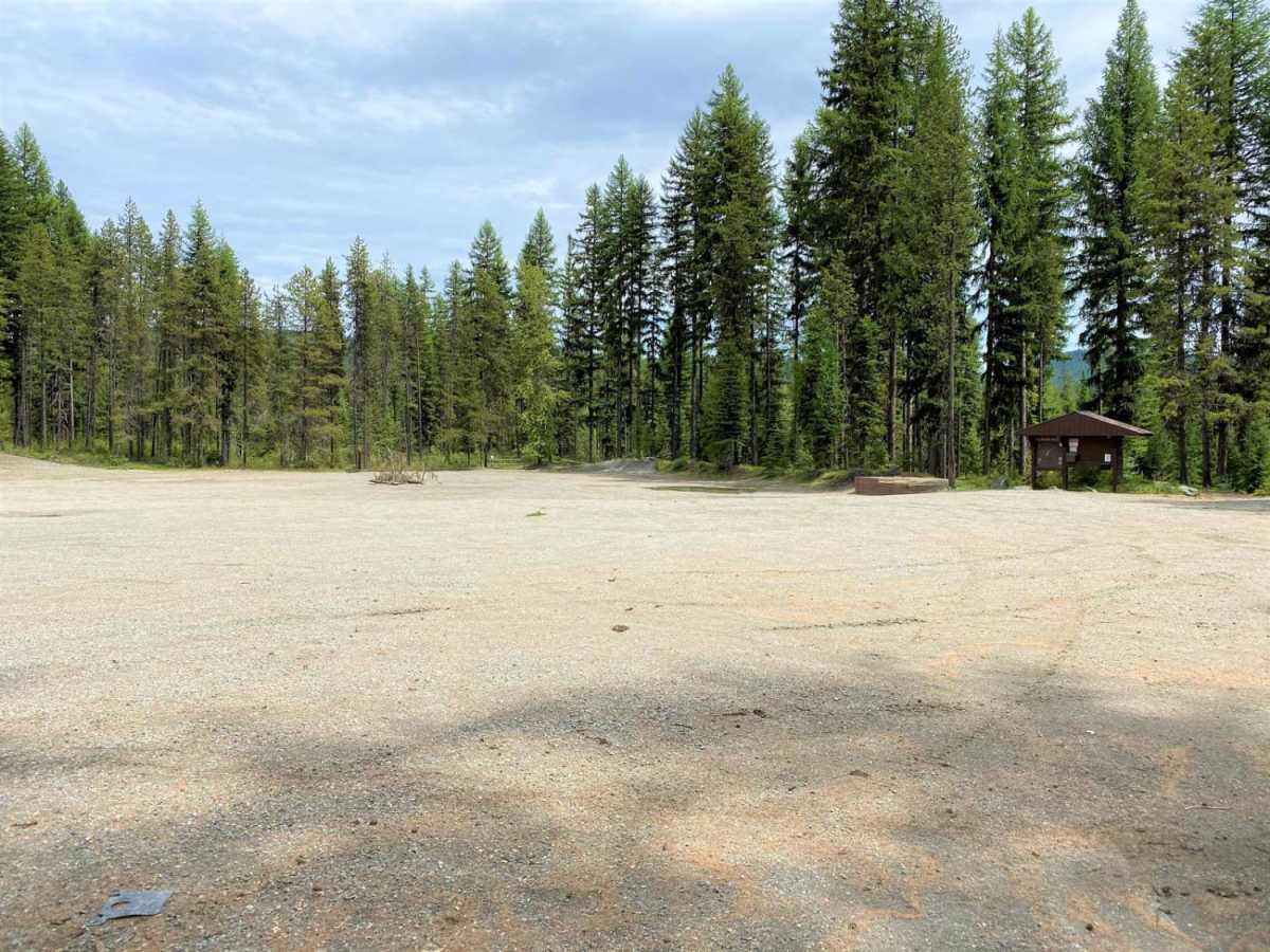
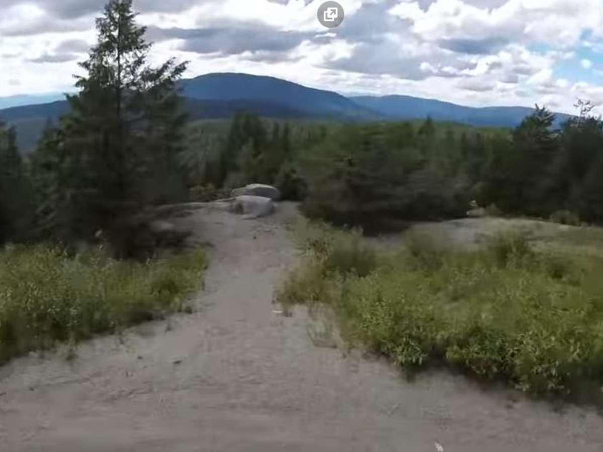
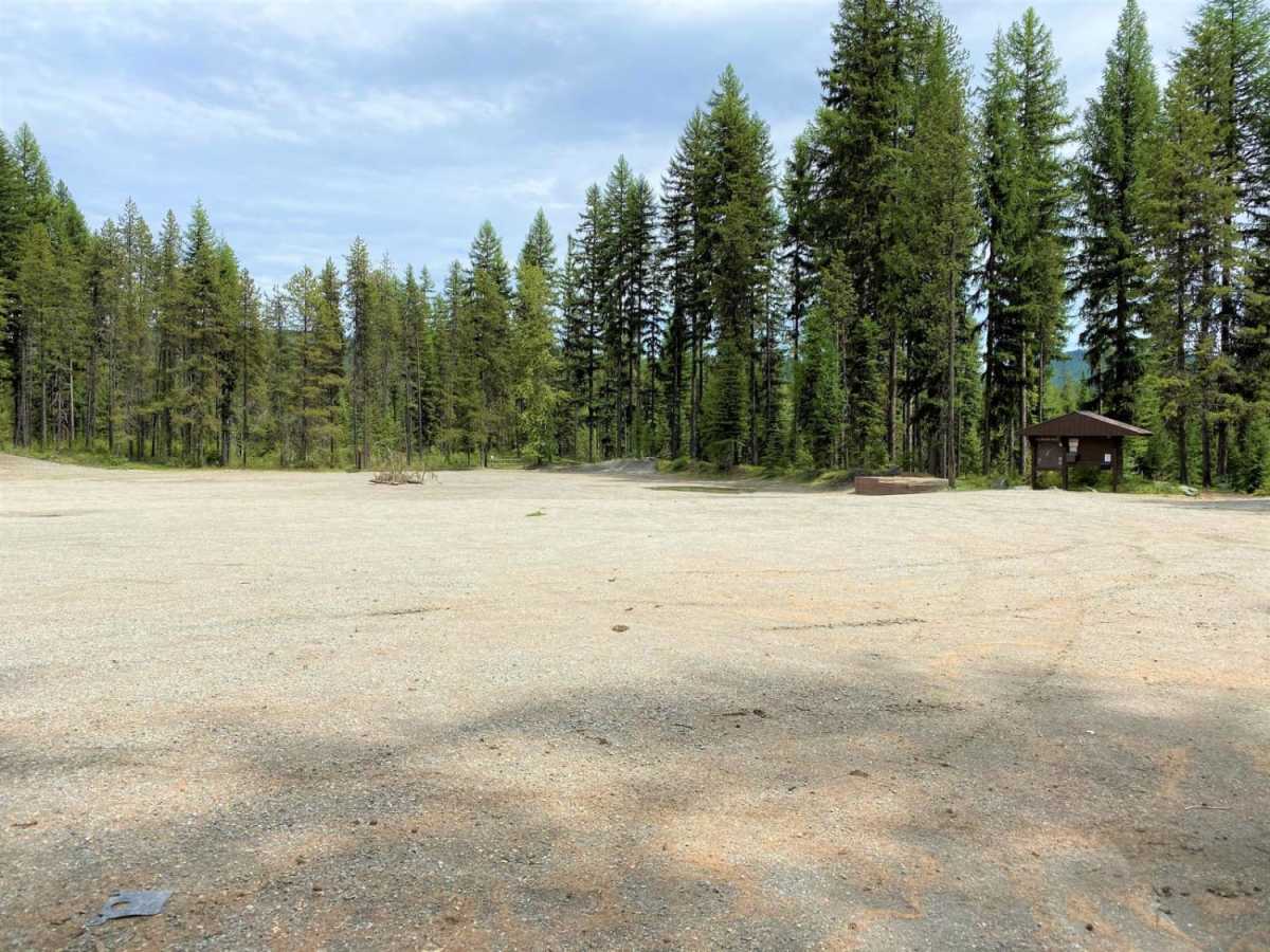
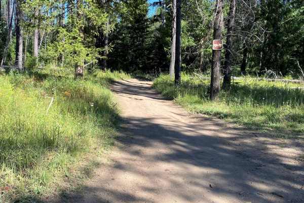
LPO-Radar Dome is an approachable yet engaging 7.2-mile trail in the Little Pend Oreille recreation area that is perfect for scenic explorers, four-wheel-drive vehicles, and SxSs looking to reach a historic mountaintop radar station. Navigating this route is relatively straightforward with a technical rating of 2, making it accessible to most stock high-clearance vehicles, though drivers will still encounter several whoops, ruts, steeper pitches, and washed-out sections along the way. Starting from the United States Forest Service parking lot just west of Highway 20 on South Fork Mill Creek Road, the trail winds through dense forest while climbing from an elevation of 3,133 feet up to 3,462 feet, accumulating roughly 593 feet of elevation gain. As the track ascends, it eventually merges with a well-traveled main road that leads directly to the historic radar dome summit.
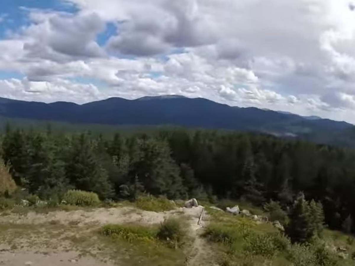
At the summit, the remnants of old military buildings stand as a unique historical backdrop, though visitors should remain alert as the area is frequently used by paintball enthusiasts. The trail sees diverse recreational traffic, including motorcycles, mountain bikes, Jeeps, four-wheel-drive trucks, and hikers, while equestrian riders are rarely encountered due to the heavy motorized presence. This multi-use route is best enjoyed during the late spring through autumn months when the mountain passes are clear of heavy snow. Whether looking to explore local history or simply enjoy a scenic cruise with views overlooking nearby Lake Thomas, this trail provides an ideal day trip just 24.7 miles east of Colville.