Trail Overview
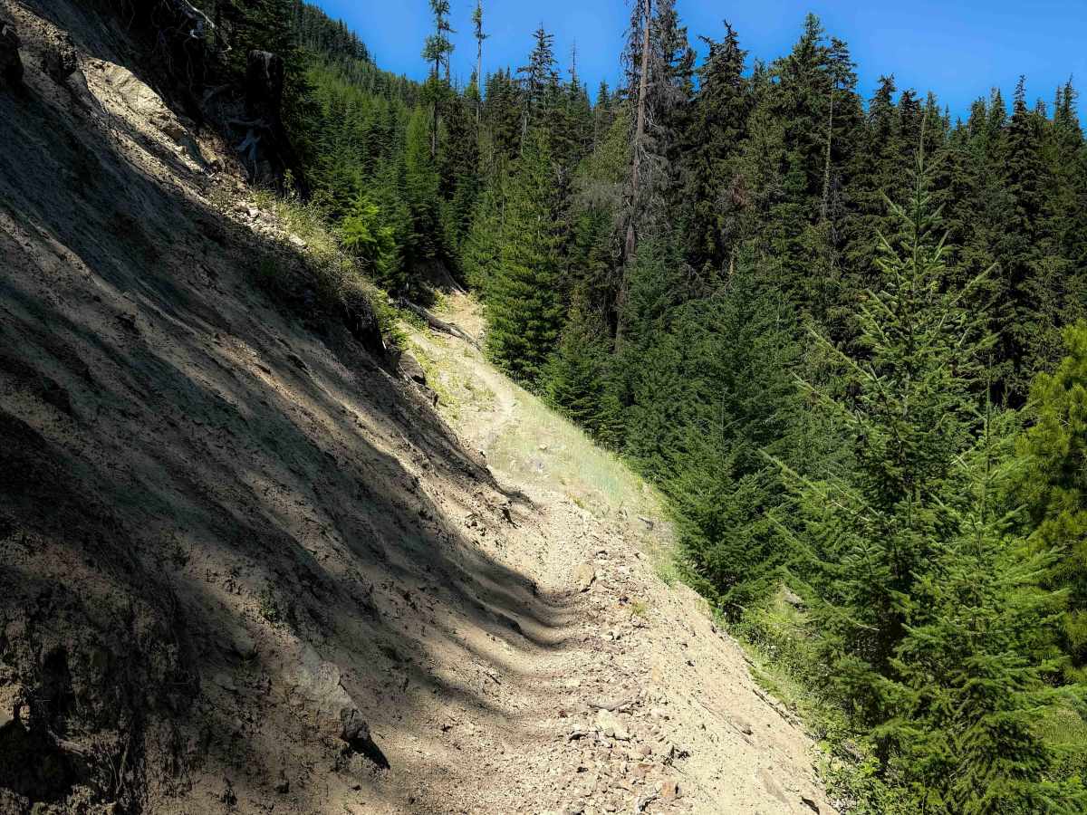
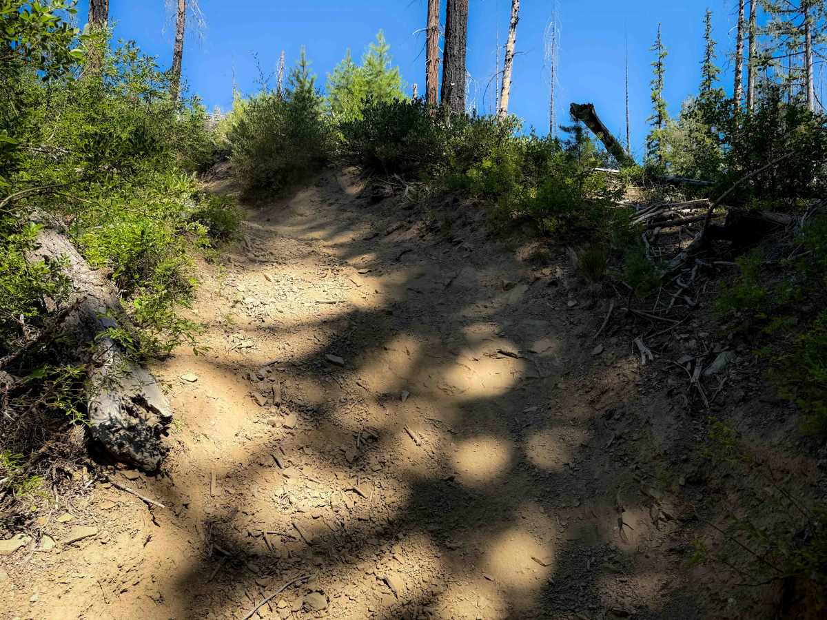
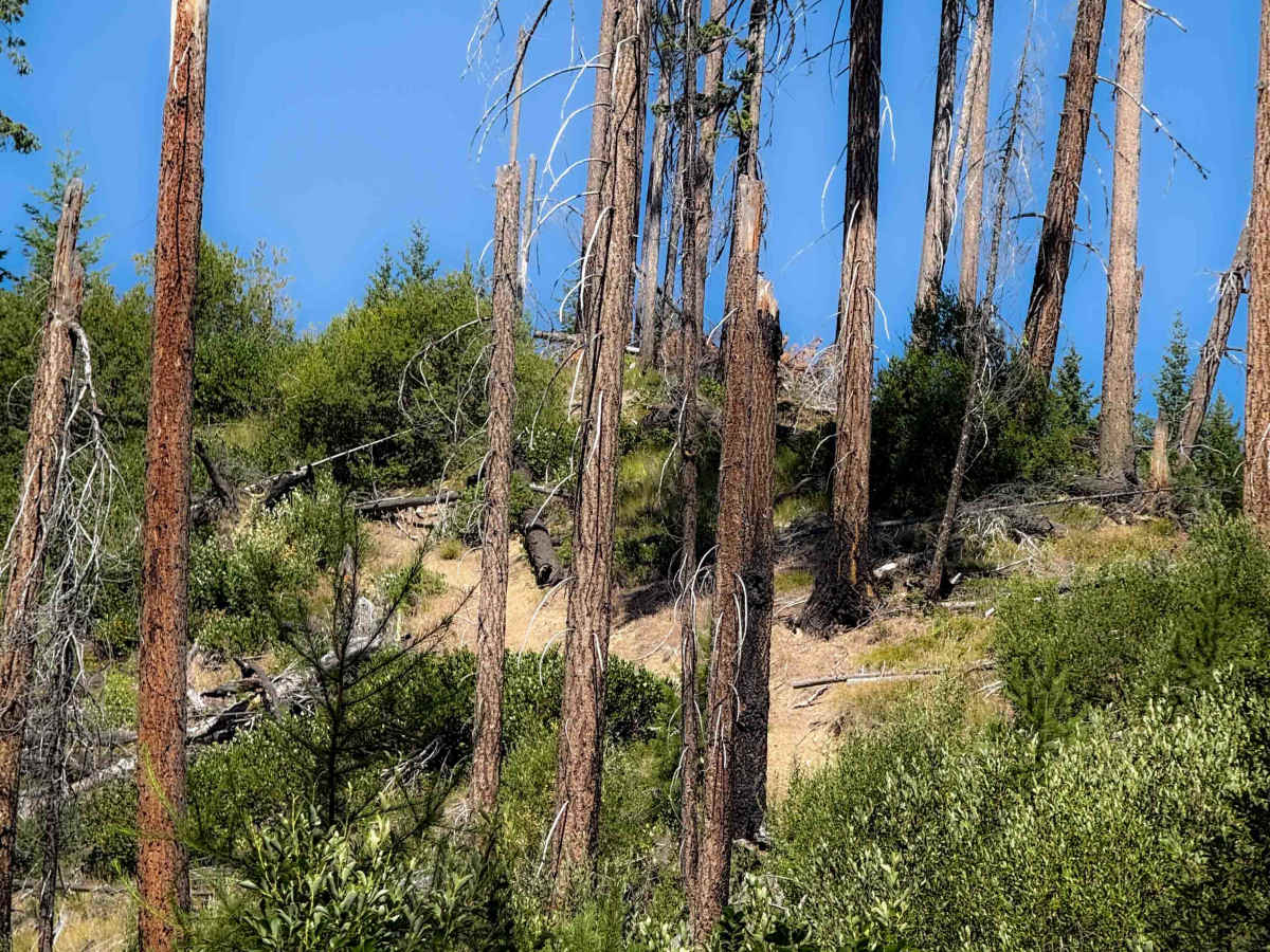
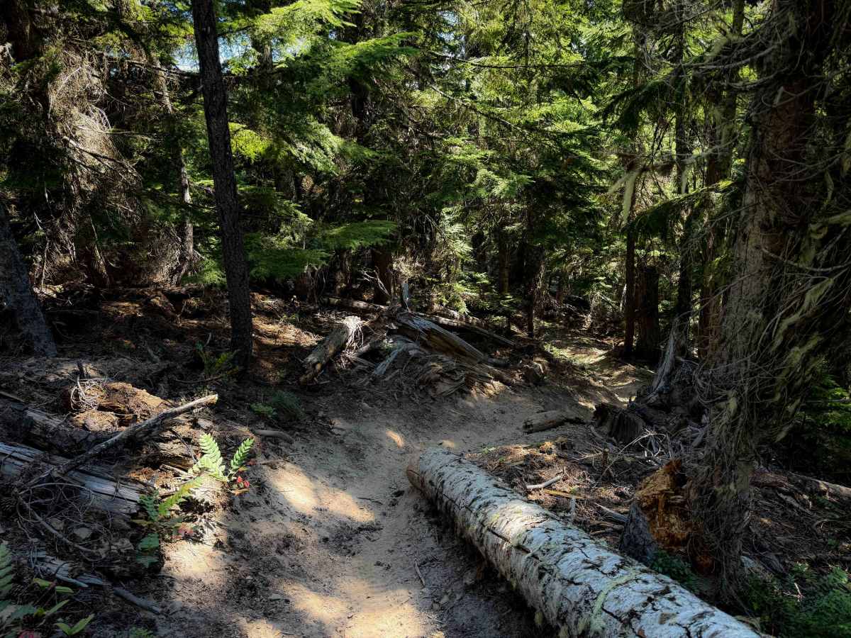
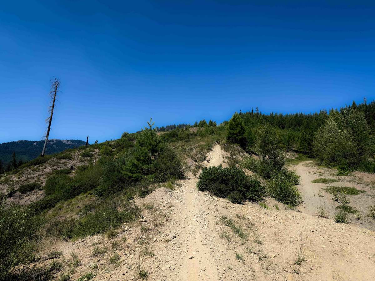
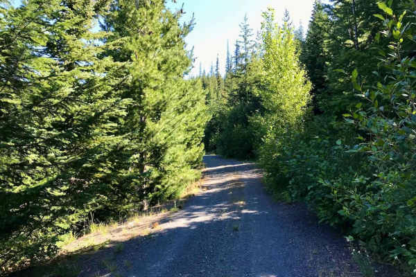
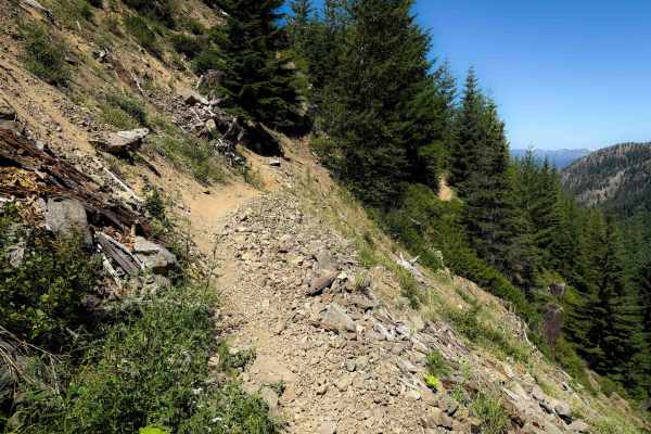
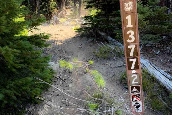
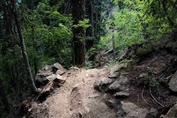
This trail is 2.7 miles long, and it connects North Fork Taneum Trail to the Cle Elum Ridge Trail. The east entrance starts off with a very steep and long climb up a silty troughed out hill, going straight up a loose hillside in a burn area. It crosses a couple logging roads, and then after 1.2 miles, dips down into the forest outside of the burn area. The forested section is full of tight and curvy side-hilling turns, with moderate exposure, frequent switchbacks, and narrow segments of trail. It’s constantly climbing up steeply, then descending back down, then doubling back on itself, and zig zagging tightly through the trees. This looks to be a big re-routed section compared to the original GPS track, as it eventually connects to Cle Elum Ridge across from the intersection with Little Creek Basin, and there’s a chunk of the old trail that now has a nonmotorized sign at the entrance. The trail was cleared of any downfall, and looked frequently trafficked.
Difficulty
This is an intermediate route due to narrow segments with moderate exposure, tight turns, steep climbs, and lots of hairpin turns. The steepness is one of the major factors on this trail that makes it more of an intermediate route. Expect loose rock, and eroded dirt in the burn area.