Trail Overview
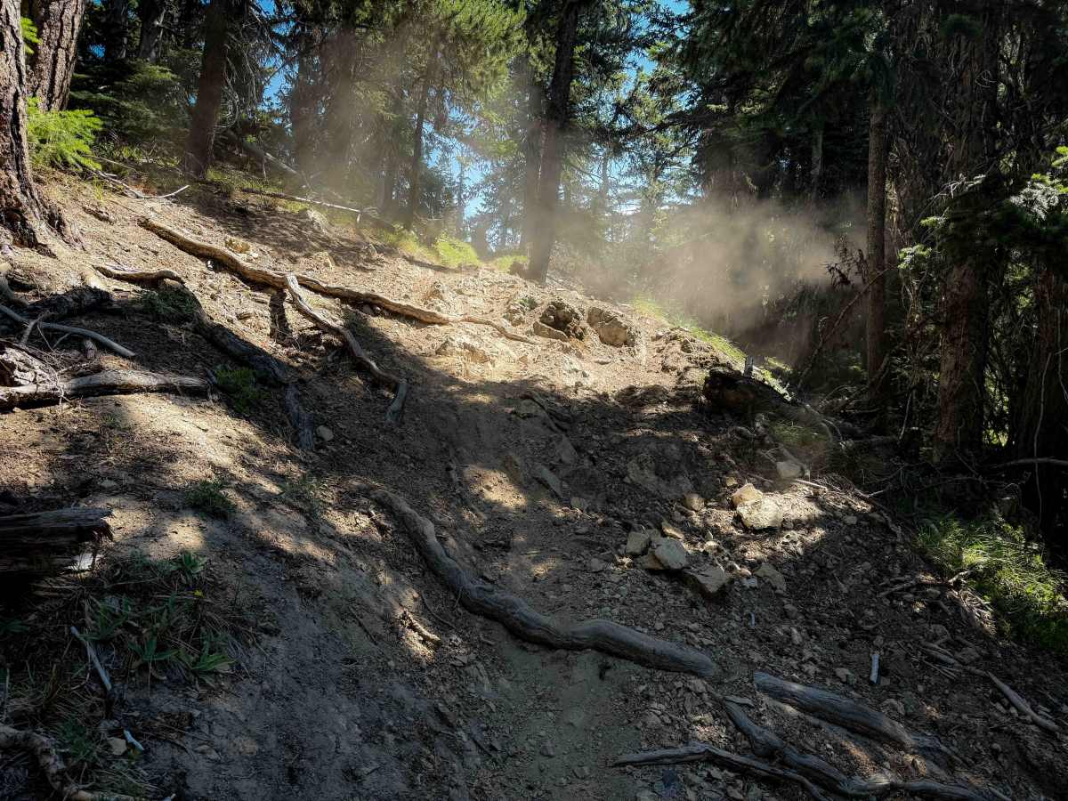
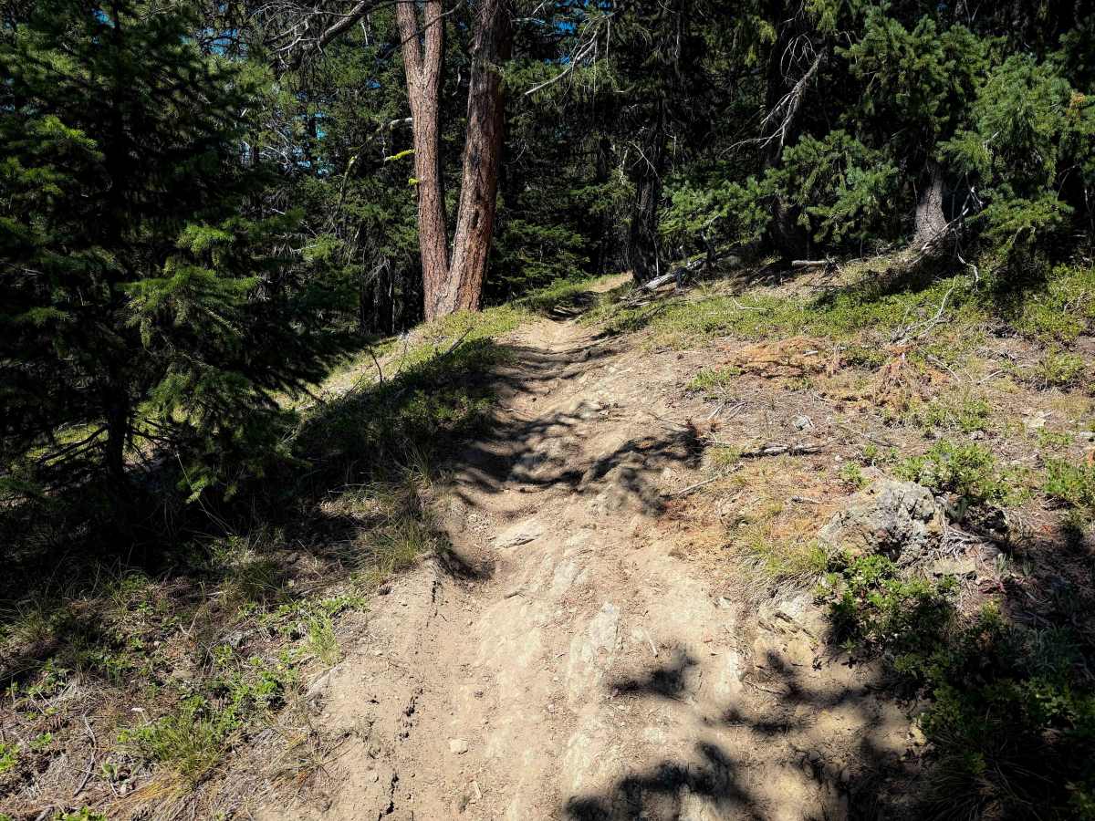
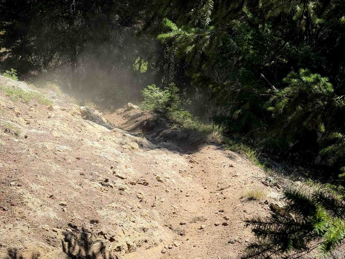
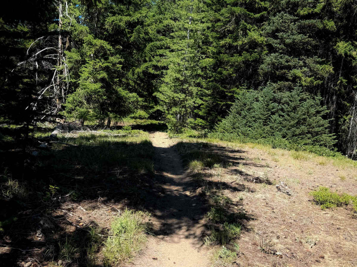
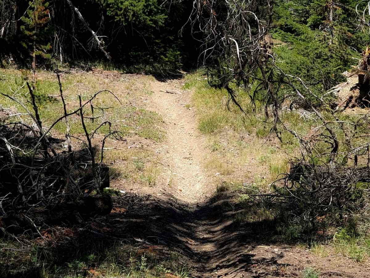
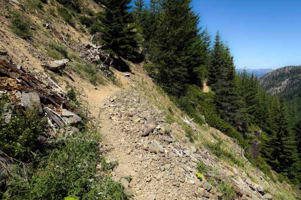
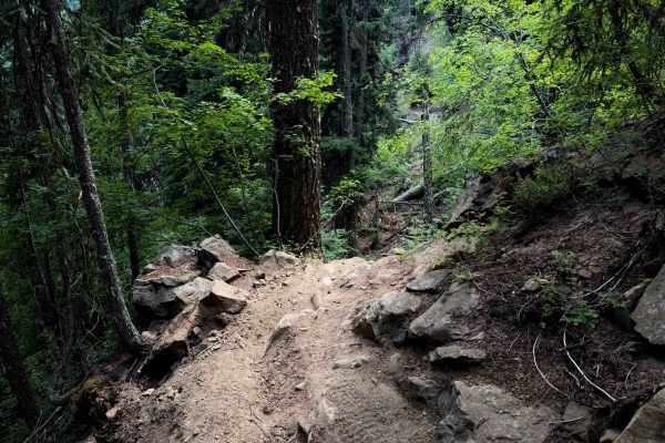
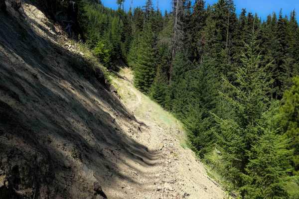
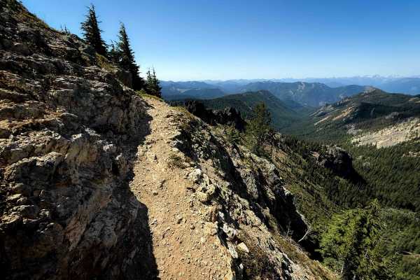
This is a short segment of intermediate single track that connects a logging road with the Cle Elum Ridge Trail. It is a narrow single track through lodgepole pines, riding on a hilltop. The trail is a steep climb from east to west for the first .6 miles, gaining about 350 feet in elevation with several steep spots. The trail has lots of little rocks, silty loose dirt, and tight turns through the trees. It reaches a ridge top, then it descends back down through similar steep terrain for the last quarter mile. Throughout the route, there are frequent small roots across the trail that make small stair steps and drop-offs, plus moderate embedded rock obstacles, like riding over the face of a rock layer that encroaches into the trail, making it narrow and off-camber.
Difficulty
This is an intermediate trail due to tight and steep terrain and a few rocky sections. Although nothing is extremely difficult, it’s just a bit more difficult than what would be ideal for new riders, due to the steep ridge line riding.