Trail Overview
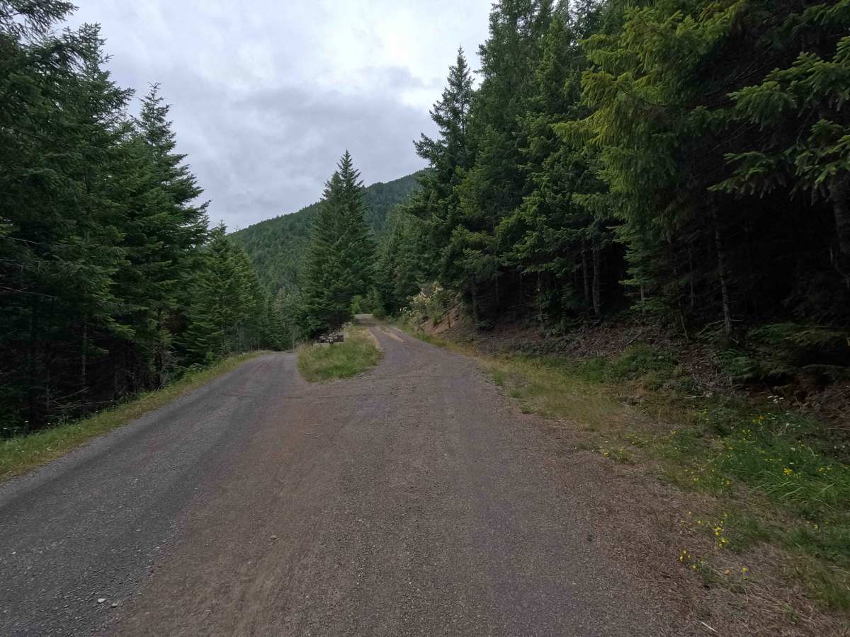
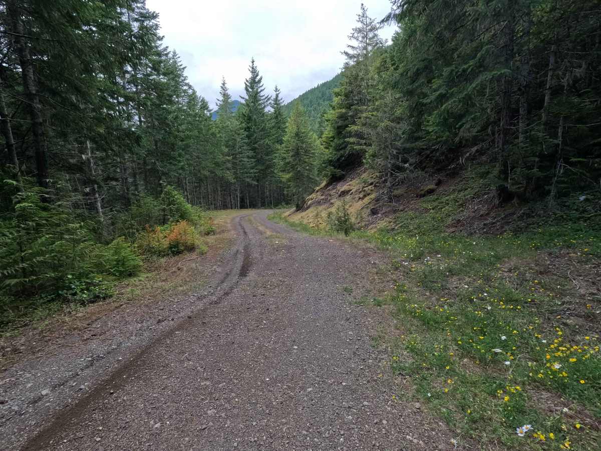
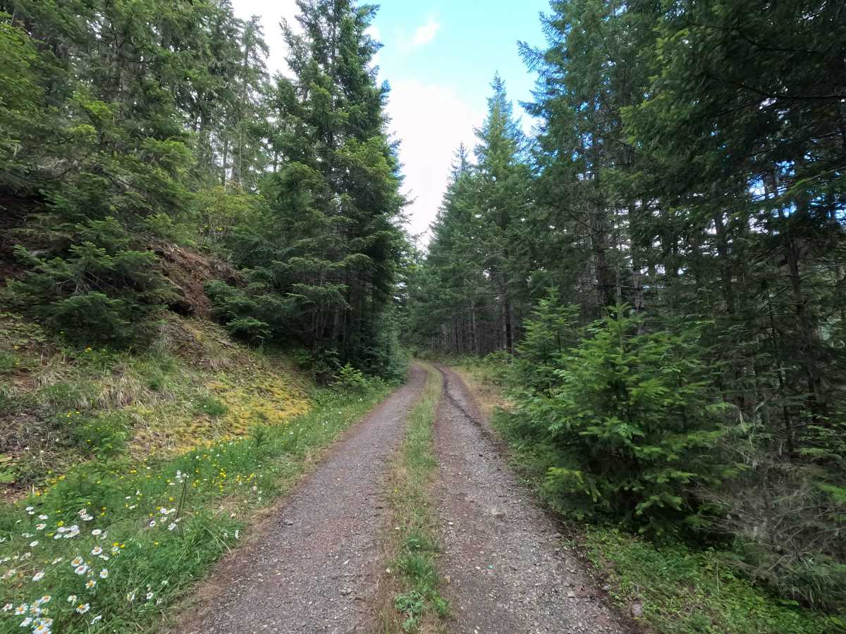
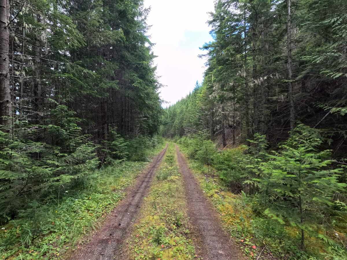
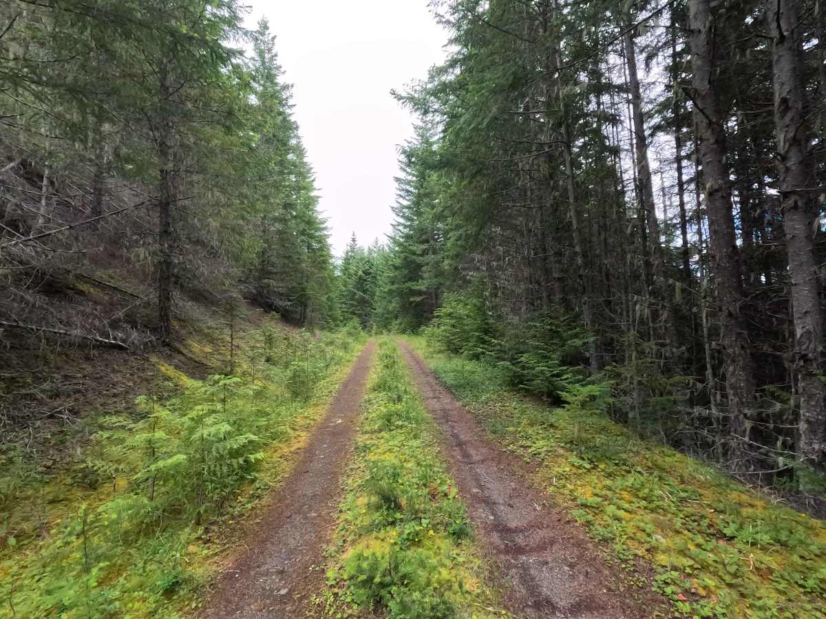
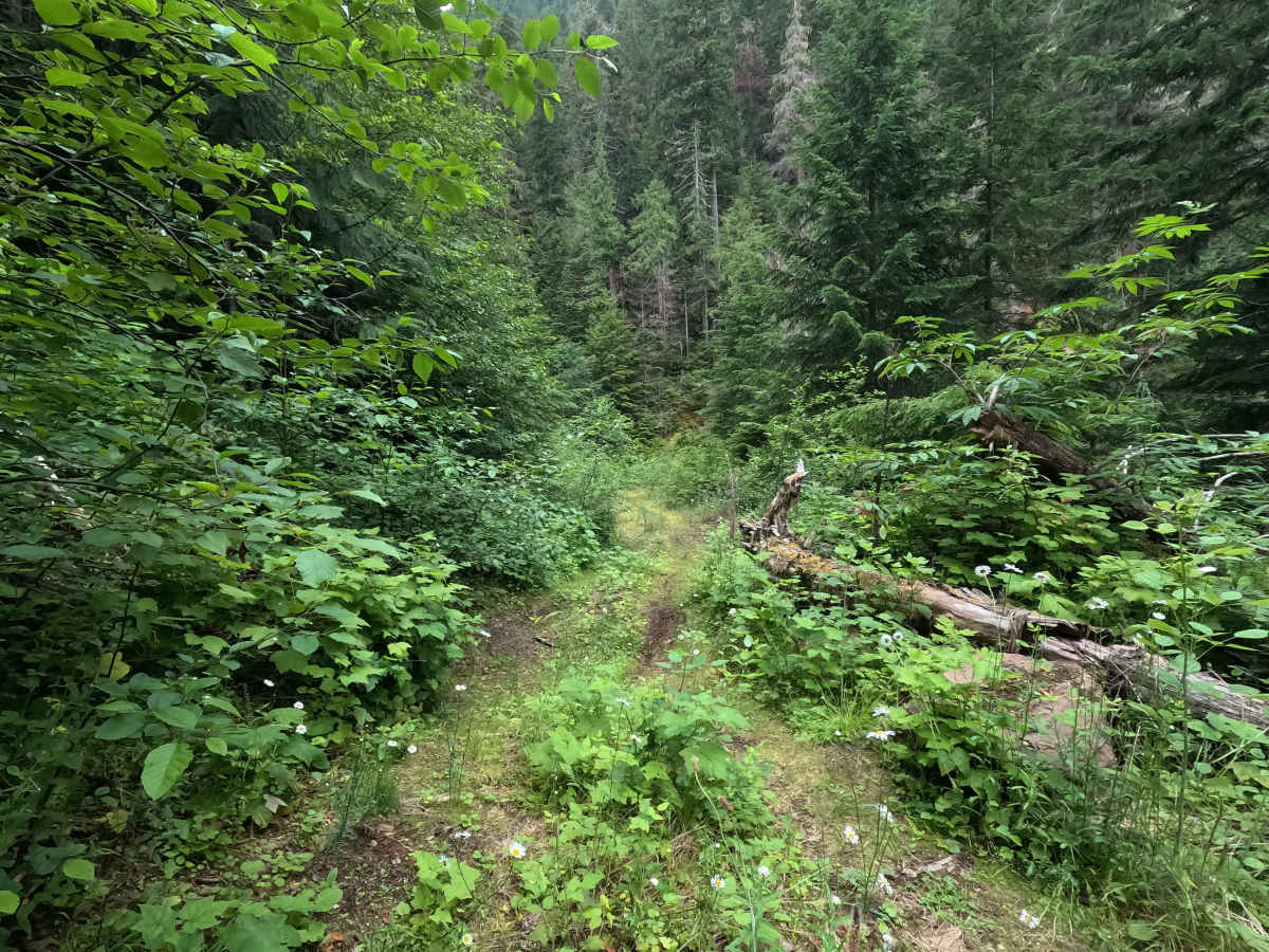
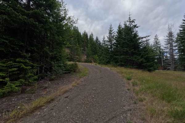
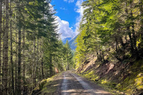
FS 2740060 is a 4.7-mile out-and-back route that branches off the main Forest Service road and travels through dense forest on a narrow gravel surface. The route is characterized by an almost continuous series of water bars, many of which are deep with sharp entrances and exits. Some can be difficult to spot until the last moment, especially where vegetation or changing light obscures them. The road also features increasing brush encroachment, several off-camber sections, and a grassy center strip that can become slick when wet. There is a small passable washout at mile 4.4 that has some deeper off-camber holes that will test articulation. The road is open year-round to highway-legal vehicles only.
Difficulty
FS 2740060 is rated Moderate due to the frequent water bars, which appear roughly every 100 yards for much of the route, and the washout. Several are deep enough to challenge lower-clearance vehicles, and their steep approaches and departures require drivers to slow down and cross them carefully. The combination of narrow road width, off-camber sections, brush encroachment, and the slick grassy center in wet conditions further increases the difficulty. Higher-clearance vehicles are recommended, and drivers should remain alert for water bars that can be difficult to see until they are directly ahead.


 Offroad