Trail Overview
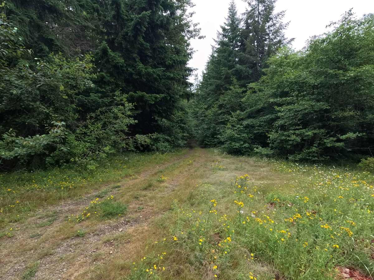
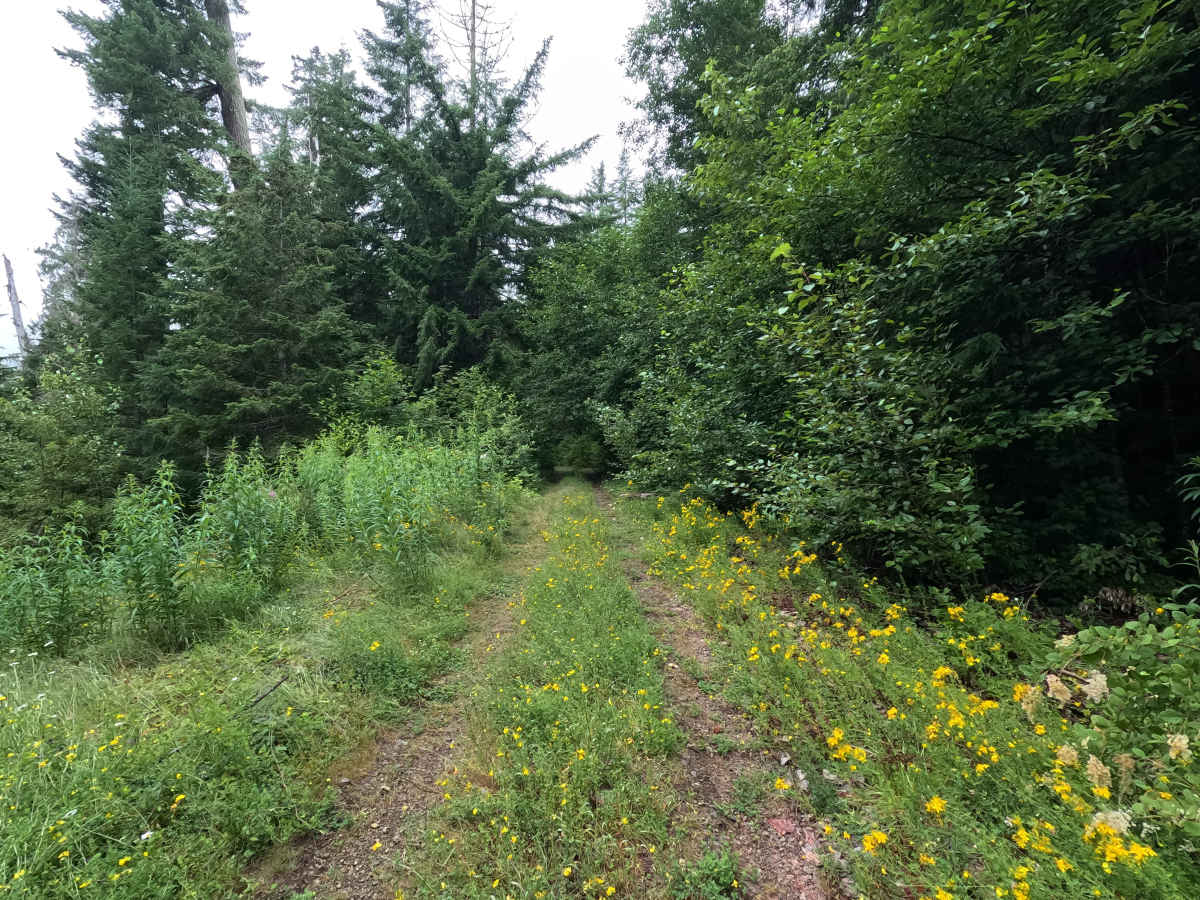
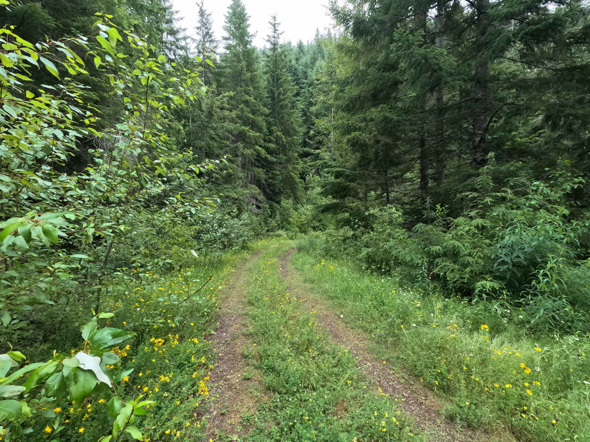
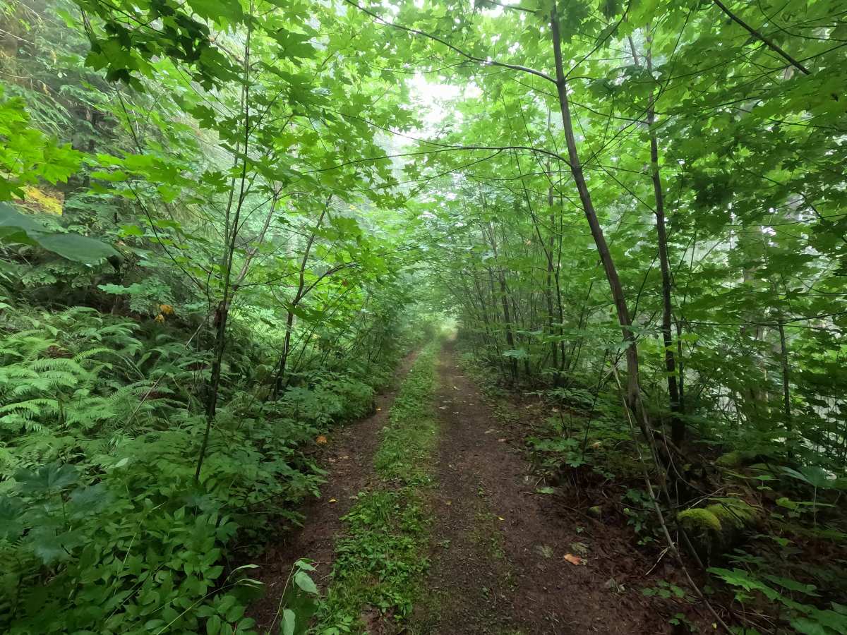
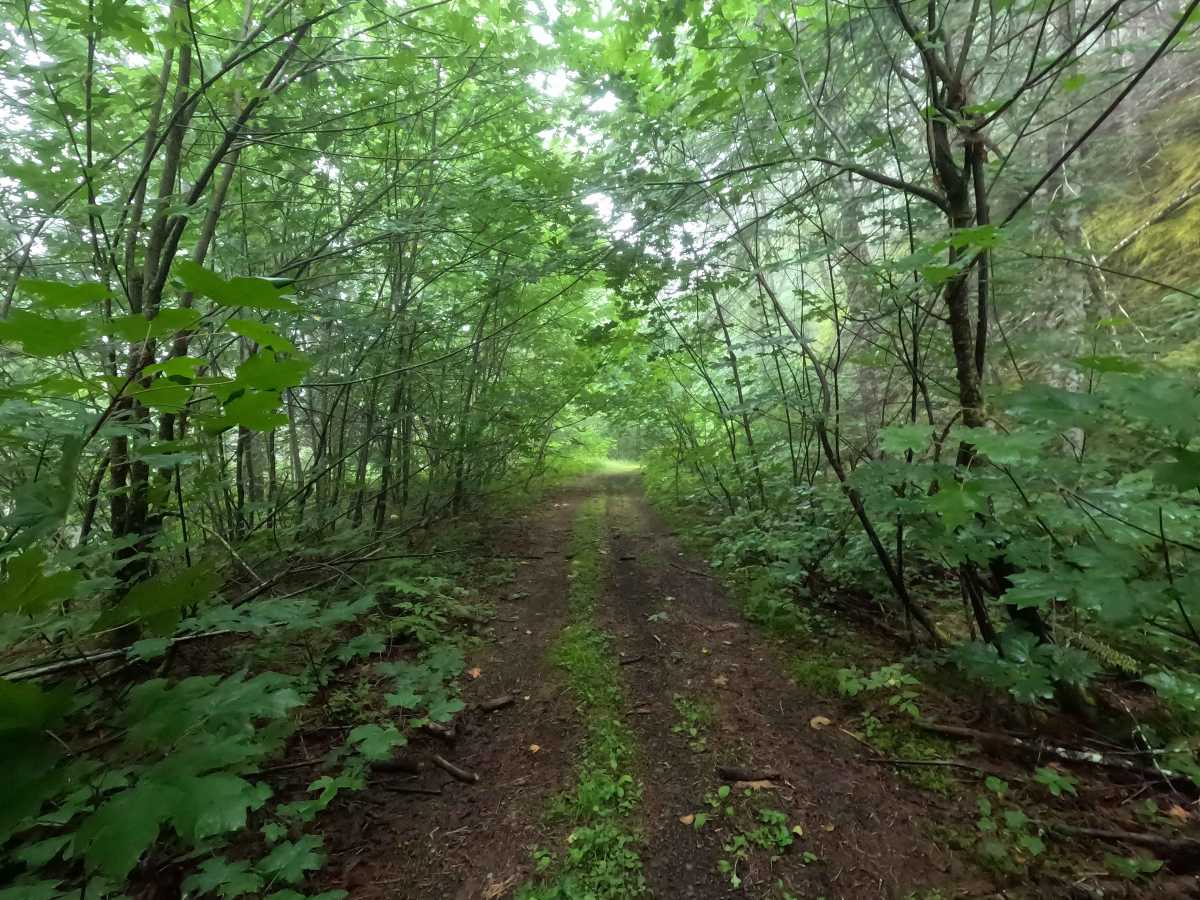
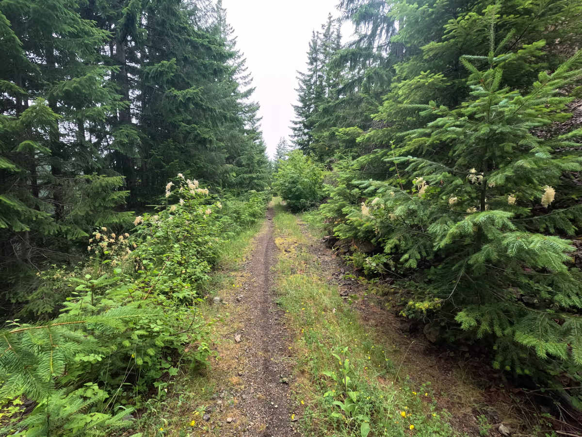
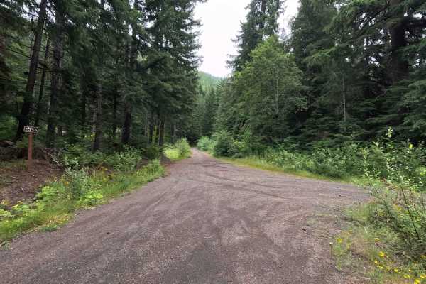
FS 2352400 is a 3.6-mile point-to-point single-lane gravel road in Olympic National Forest that offers a more secluded drive beneath a dense forest canopy. Much of the route is enclosed by heavy brush, creating a dark tree tunnel with limited visibility in places. Drivers will encounter narrow shelf-road sections with larger loose rocks, and a section impacted by a landslide where the roadway has become extremely narrow. Full-size vehicles are not recommended beyond this point. While the road once continued beyond its intersection with FS 2356, the remaining section has become heavily overgrown and is no longer drivable. The road is open year-round to highway-legal vehicles only. FS 2352400 also forms part of the Olympic Peninsula Loop, a popular adventure motorcycle route, so watch for oncoming riders, especially around blind corners.
Difficulty
FS 2352400 is a moderate route best suited for smaller high-clearance, highway-legal vehicles. The primary challenges include heavy brush encroachment, narrow shelf-road sections, larger loose rocks, and a landslide-impacted section where the roadway narrows significantly. Full-size vehicles are not recommended to attempt this section due to the limited width. Drivers should also use caution around blind corners and be prepared to encounter adventure motorcycles traveling the Olympic Peninsula Loop.

 Offroad