Davis Creek Trail

Total Miles7.8
Technical Rating
3Easy
Best TimeSummer
Trail TypeFull-Width Road
Accessible By
Open Trail Map

Trail Overview

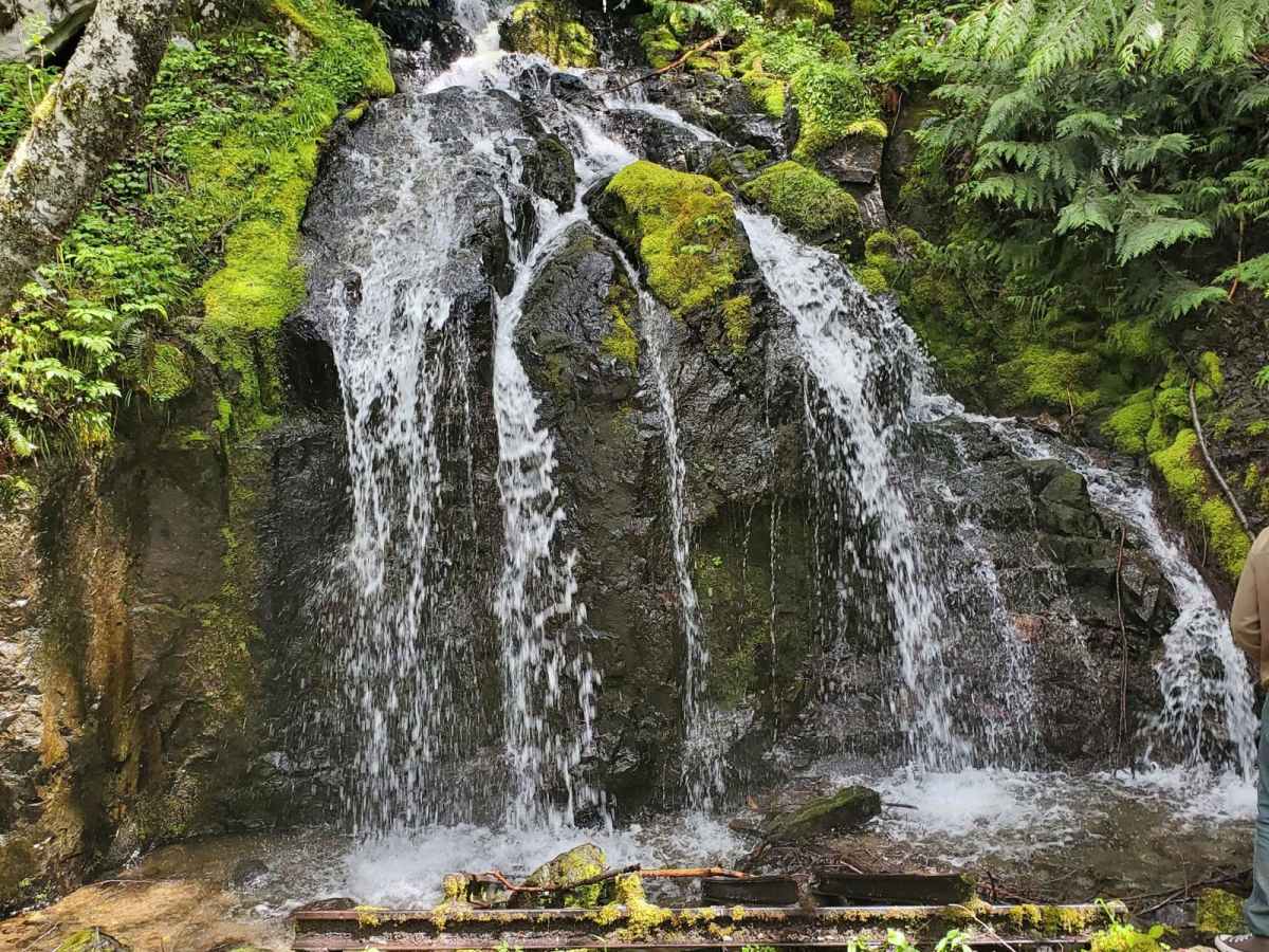
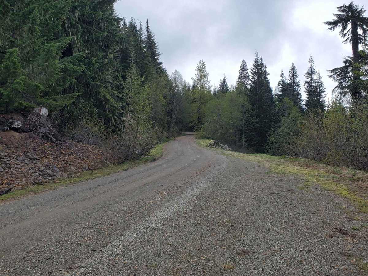
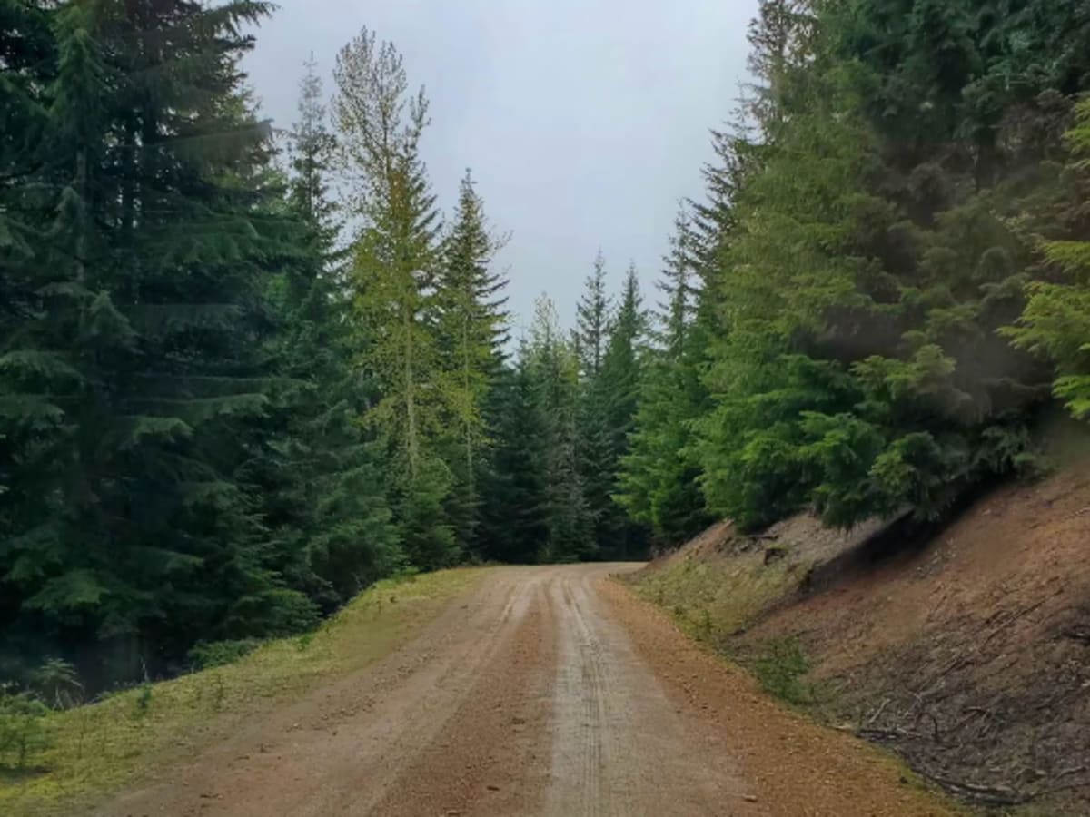
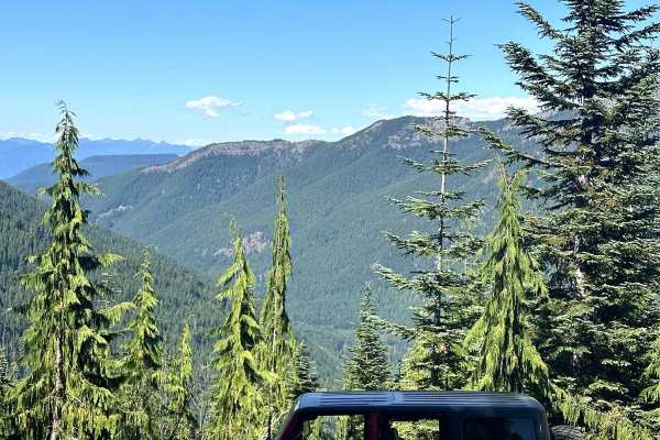
The first part of this trail is private property with an easement for the road, and then you come up on National Forest lands. The first part of the road is fairly easy, flat, and good for most cars. There is a wooden bridge over a deep gorge to cross, and waterfalls to view along this trail. Further up, you find hairpin curves and steep roads best done in 4WD. Eventually, you will come to Purcell Mountain. In the winter and early spring, this trail is snowed in.

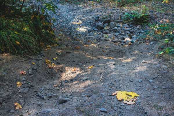
Photos of Davis Creek Trail

Difficulty

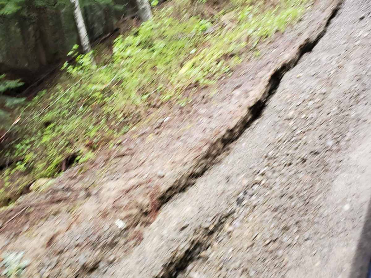
The road has some potholes and minor water damage with some road erosion, causing soft shoulders. There are steep grades in some spots.

Technical Rating

3

Status Reports

Add Status Report
Francisco Ruiz
Sep 07, 2026
Open
Ricky s
Jun 10, 2024
Open
Normal
The further you went up the trail, the more over grown the shrubs are. Logs blocking off at the end of the trail

Davis Creek Trail Trail can be accessed by the following ride types:

  • Single Track
  • 50 Inch
  • 60 Inch
  • High Clearance
  • Full Width

Davis Creek Trail Map

The onX Offroad Difference

onX Offroad combines trail photos, descriptions, difficulty ratings, width restrictions, seasonality, and more in a user-friendly interface. Available on all devices, with offline access and full compatibility with CarPlay and Android Auto. Discover what you're missing today!

Open Trail Map