Trail Overview
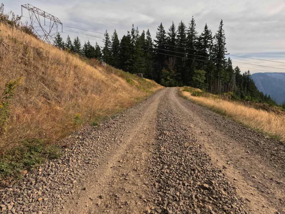
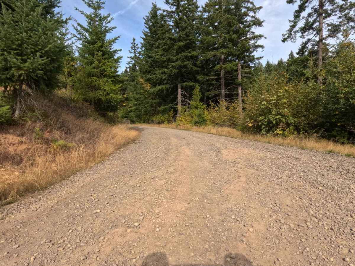
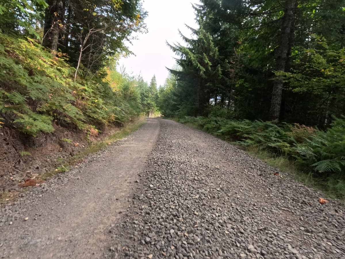
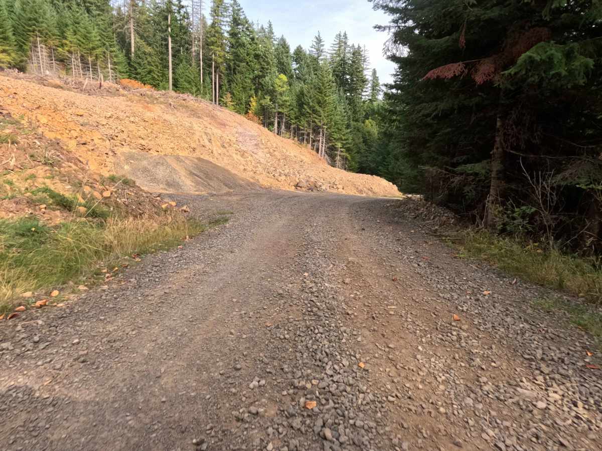
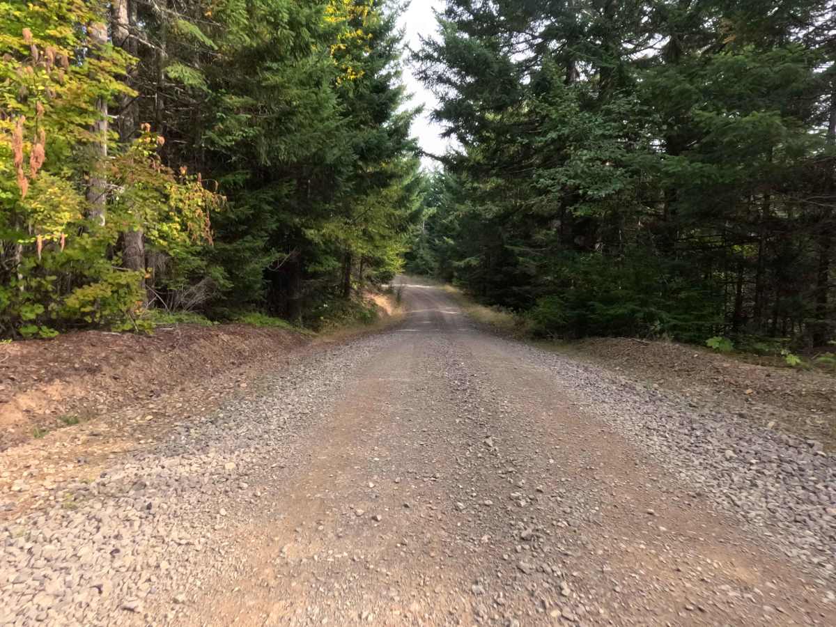
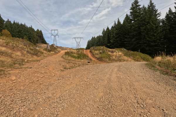
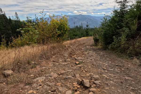
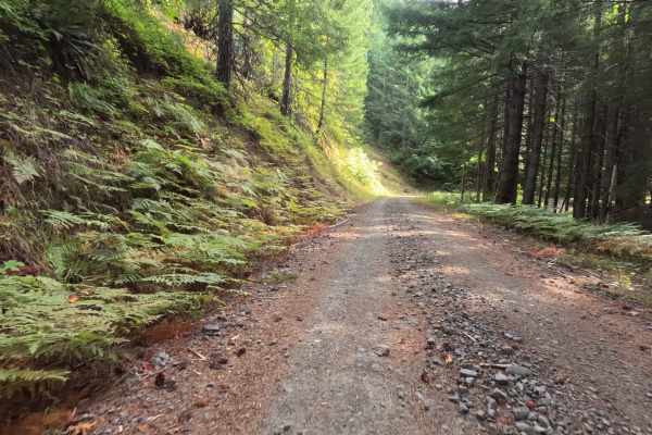
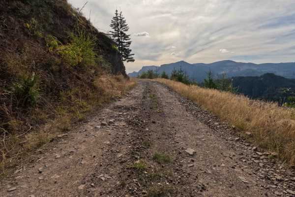
Accessed via the primary CG-2000 arterial system, CG-2116 functions as a reliable backcountry connector providing seamless throughput deeper into the regional forestry network. The road begins its journey within the lush, verdant timber of the Gifford Pinchot National Forest before crossing the land management boundary into active Weyerhaeuser commercial timberland. Outdoor enthusiasts, hunters, and local explorers frequently travel this broad corridor to transition between public national forest lands and private timber tracts. The driving surface consists of a wide, unpaved forest service road heavily surfaced with coarse gravel, earning a manageable Grade 2 difficulty rating. Surrounded by towering evergreens and dense fern underbrush, the well-established route offers a smooth and continuous drive through the working forest, making it a valuable arterial link for those navigating the surrounding mountain valleys.
Difficulty
Holding a moderate Grade 2 difficulty rating, this wide gravel connector provides a structurally sound and straightforward driving line from end to end. Advanced technical obstacles—such as deep mud pits, severe shelf drop-offs, or intimidating rock crawls—are completely absent along the entire pathway. The primary terrain challenge is managing the coarse, loose surface gravel that covers the roadbed. Driving at a moderate, controlled cruising speed ensures solid tire traction around gentle bends while minimizing unwanted cabin chatter. Standard factory ground clearance is fully sufficient to safely traverse the unrefined stone base and navigate the entire corridor without any risk of undercarriage contact