Trail Overview
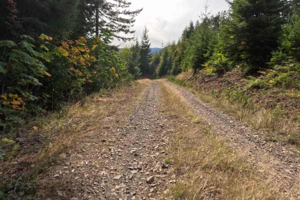
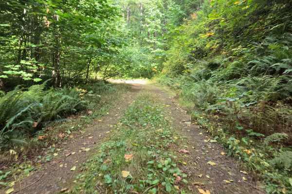
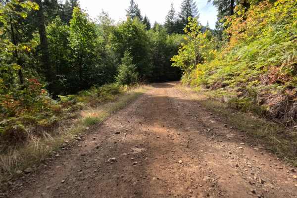
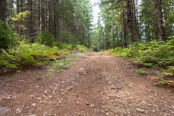
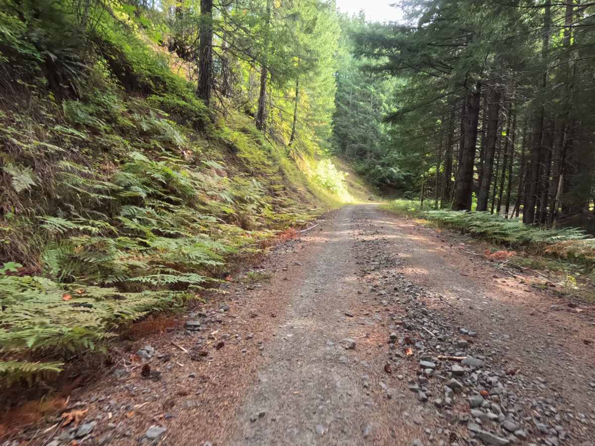
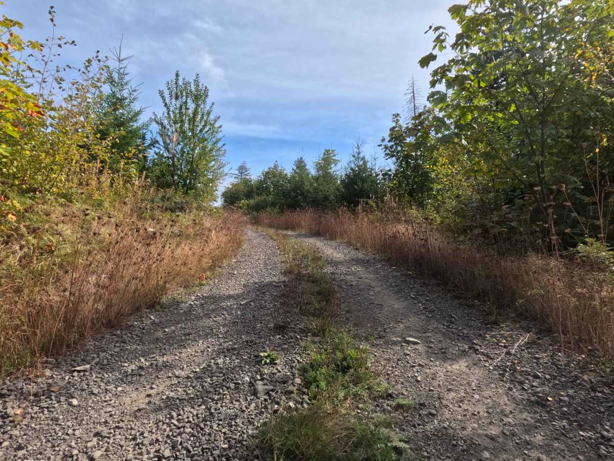
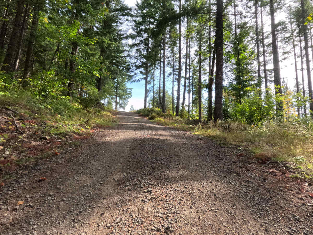
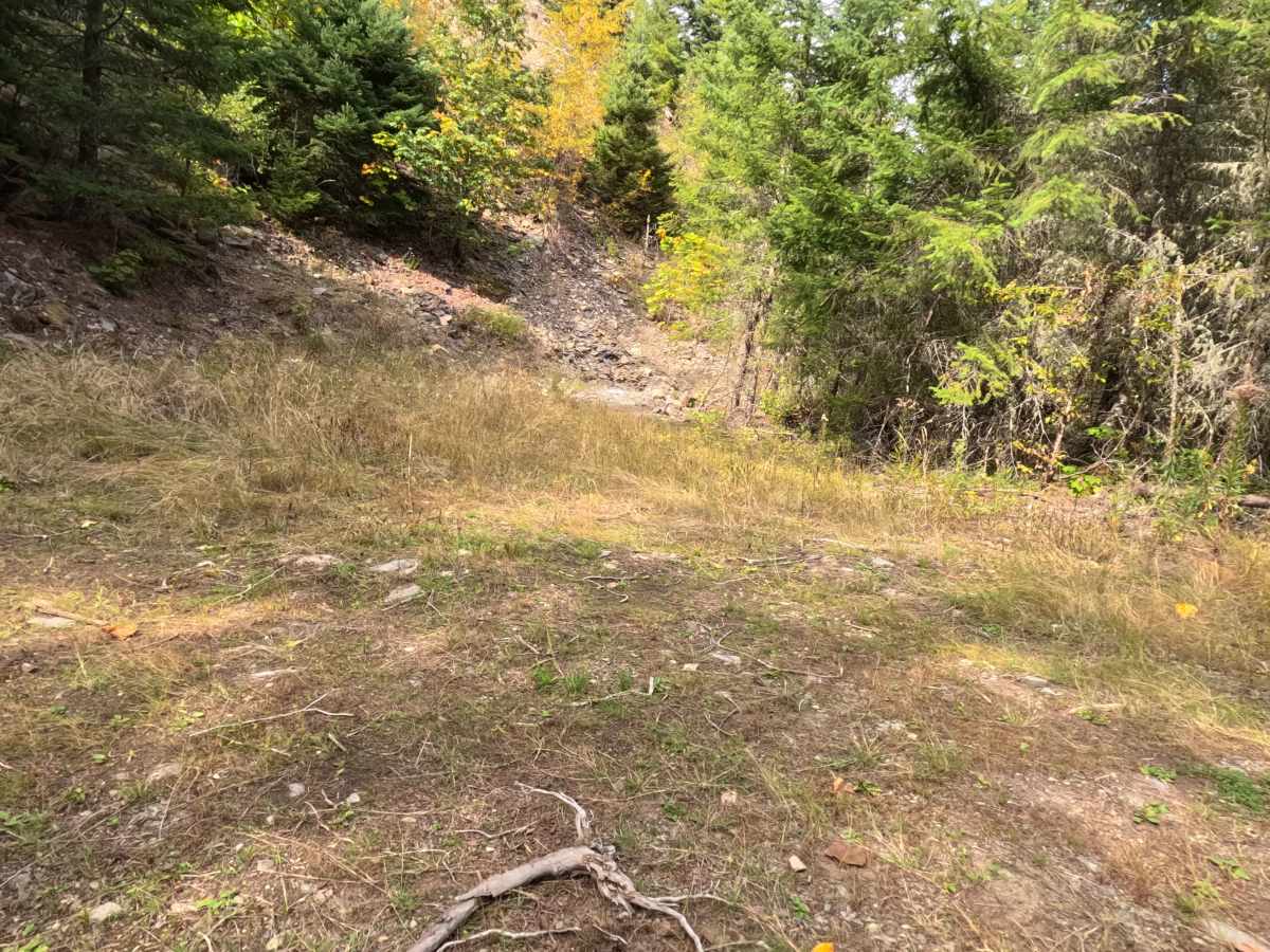
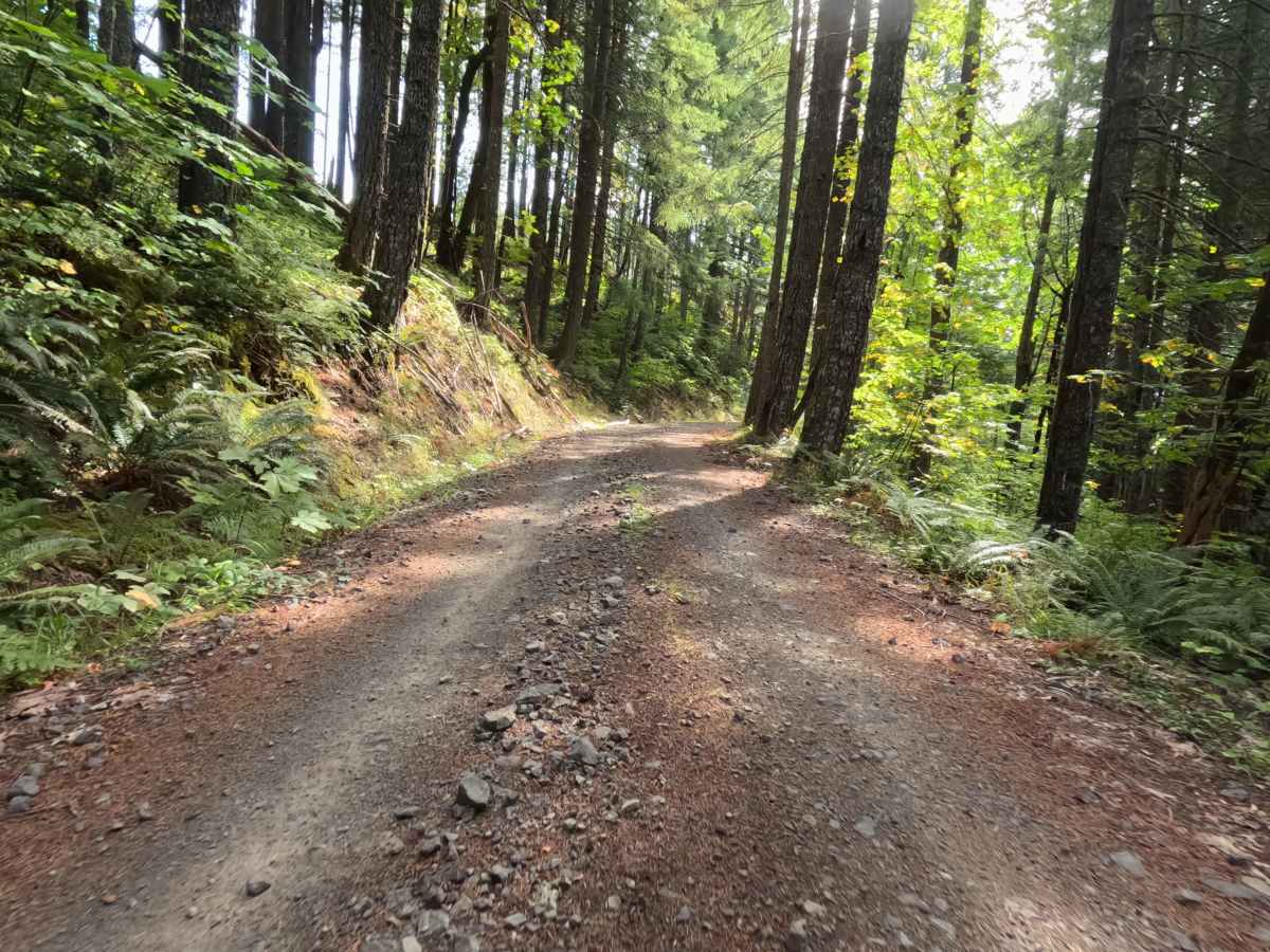
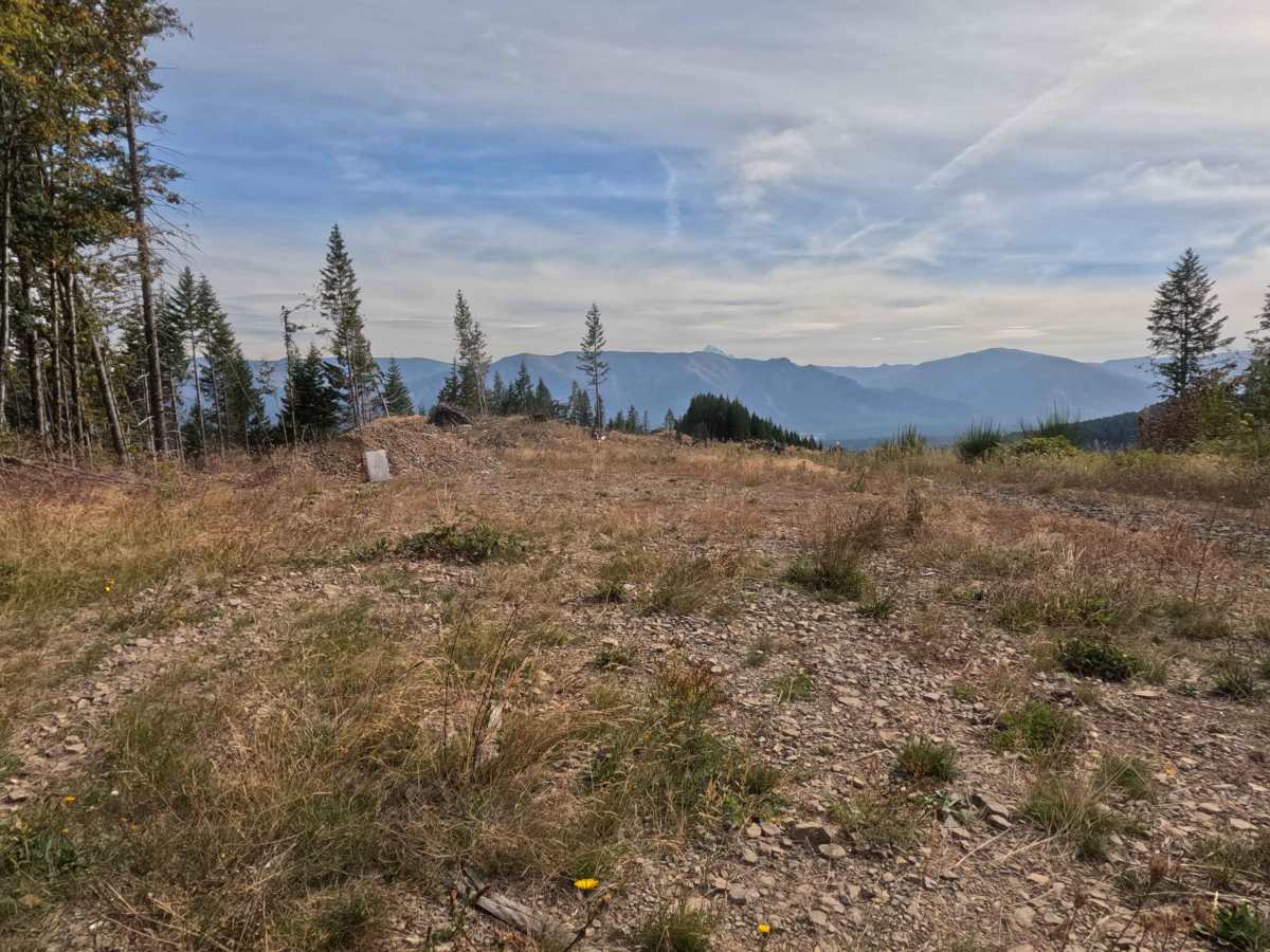
Branching off CG-2000, CG-2031 operates as a scenic out-and-back forest spur climbing steadily up onto the elevated slopes of the Butte. The pathway ascends through a vibrant, lush forest within the Gifford Pinchot National Forest, dominated by tall Douglas firs, broad ferns, and leafy undergrowth. As the road gains elevation, the dense timber periodically opens to reveal captivating peek-a-boo vistas looking down toward the Columbia River Gorge corridor. Outdoor recreationists, sightseers, and overlanders frequently travel this 1.2-mile incline to secure premier primitive camping or enjoy the sweeping mountain views. The driving surface consists of a single-lane rough gravel forest service road that holds a manageable Grade 2 difficulty rating. The ascending route culminates just below the summit in a charming meadow clearing, providing a spacious and level staging area with enough room for three to four vehicles to set up camp and comfortably reverse course.
Difficulty
Holding an accessible Grade 2 difficulty rating, this ascending forest spur provides a structurally firm but consistently bumpy driving experience. Technical off-road hazards such as impassable mud pits, deep structural ruts, or intimidating boulder crawls are entirely absent from the climb. The primary terrain consideration is managing the persistent layer of rough, loose surface gravel and scattered embedded stone that coats the incline. Maintaining a controlled, steady speed ensures consistent traction while ascending the grade and prevents unnecessary cabin bounce. Standard factory ground clearance is fully sufficient to handle the unrefined gravel, clear minor forest debris, and execute a hassle-free turnaround within the meadow clearing at the top.

 Offroad