Trail Overview
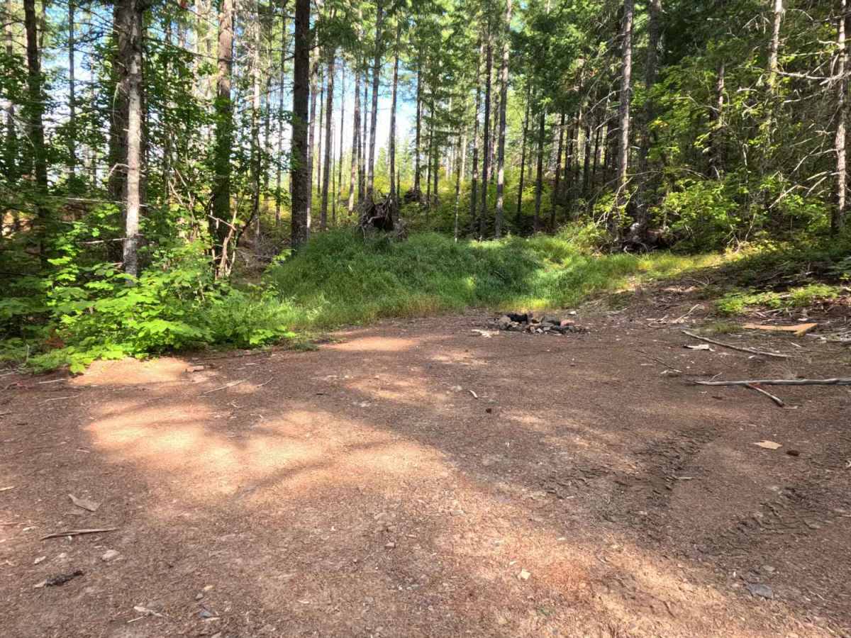
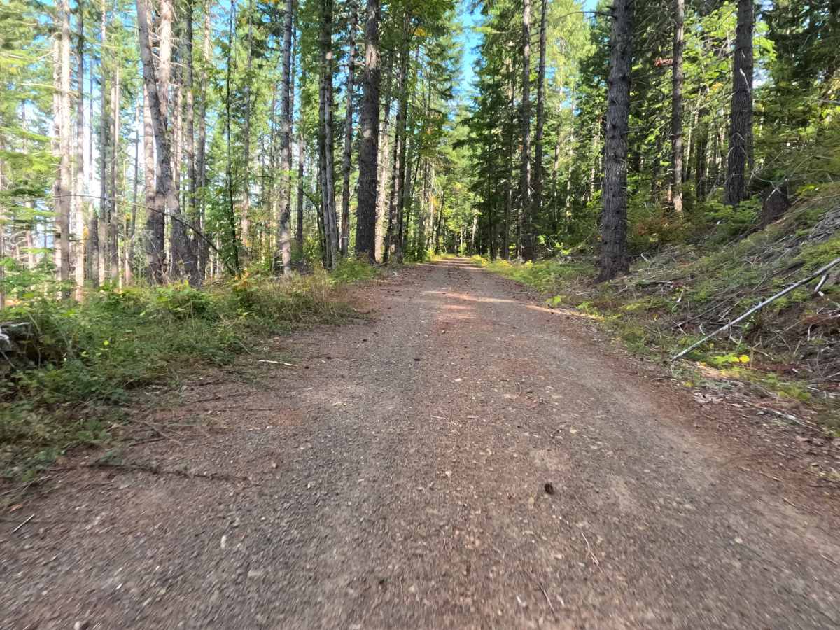
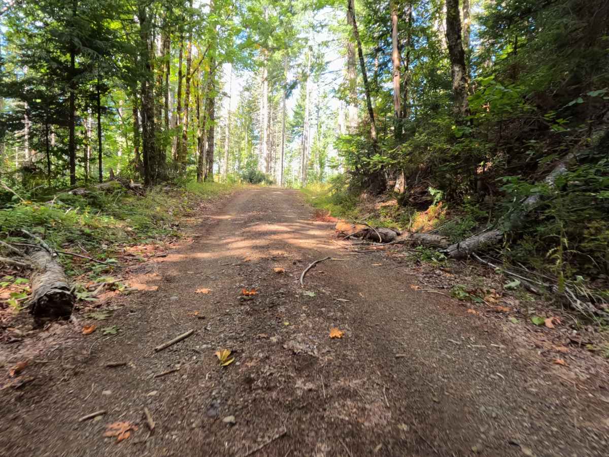
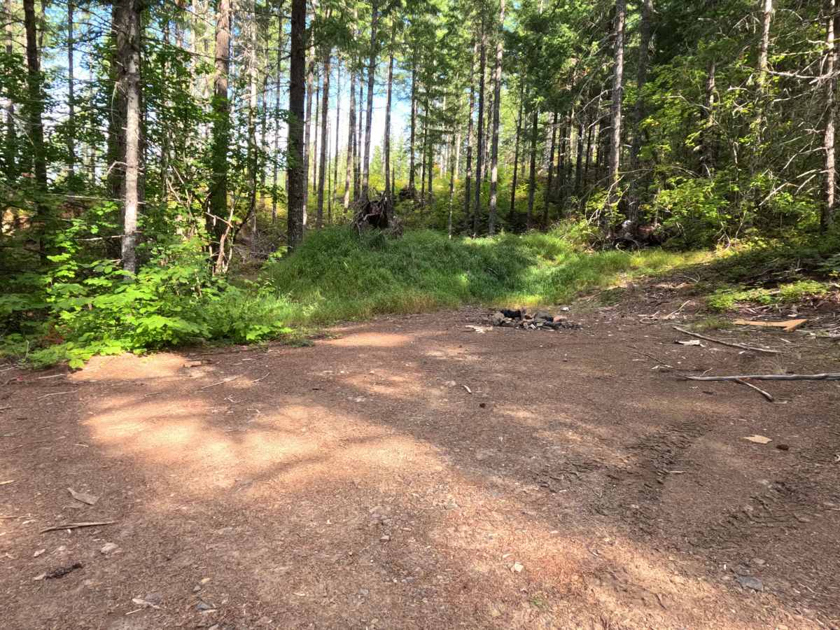
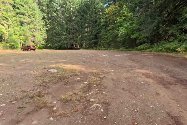
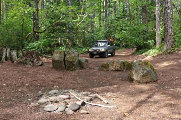
Cutting through the Gifford Pinchot National Forest, FS 3080 operates as a highly accessible out-and-back dirt road that steadily climbs the flanks of Big Butte. The route weaves a scenic path under a deep, vibrant canopy of mature evergreen timber, offering heavy shade and a classic Pacific Northwest woodland atmosphere. Holding an easy difficulty rating of 1, the wide, graded gravel and dirt surface is exceptionally well-maintained. The trail continues uphill until it terminates at an impassable, historic road washout. Right at this dead-end, outdoor enthusiasts will find a single, spacious dispersed campsite. This peaceful, secluded clearing provides enough room to comfortably stage four to five vehicles, making it an excellent spot for a group basecamp.
Difficulty
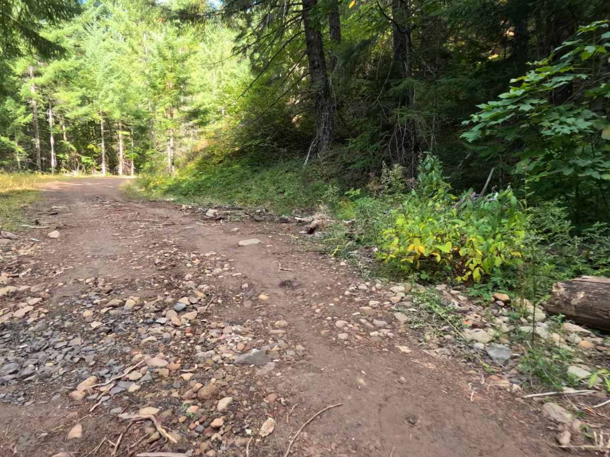
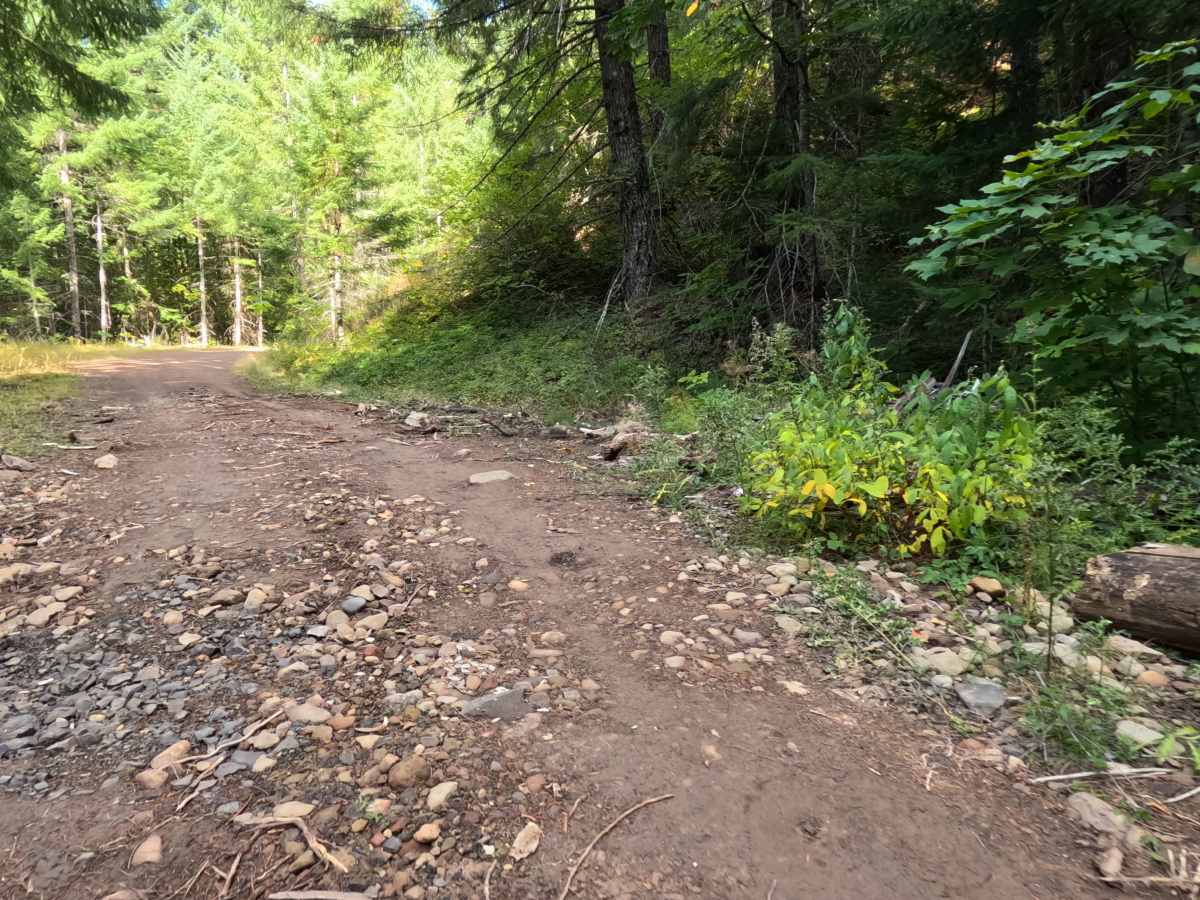
Earning a level 1 rating, this primary forest road provides an incredibly smooth and stress-free drive suitable for virtually any vehicle. The wide, packed dirt and gravel roadbed is highly graded, meaning drivers will not encounter deep erosion ruts, severe off-camber dips, or large rock obstacles that threaten undercarriage clearance. While there may be a few shallow puddles after a rain, the drainage is generally solid. Furthermore, the corridor is cleared wide enough to completely eliminate the risk of brush scratching the sides of the vehicle, allowing for a relaxing, rolling cruise up the hillside.

 Offroad