Baker River Road

Total Miles10.4
Technical Rating
1Easy
Best TimeSpring, Summer, Fall
Trail TypeFull-Width Road
Accessible By
Open Trail Map

Trail Overview

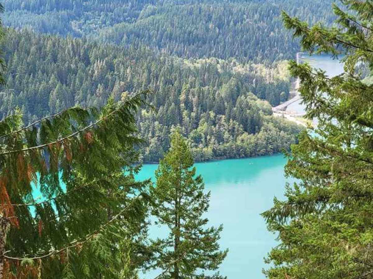
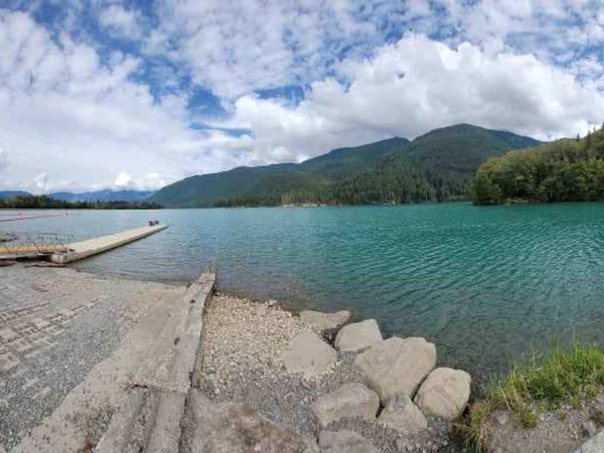
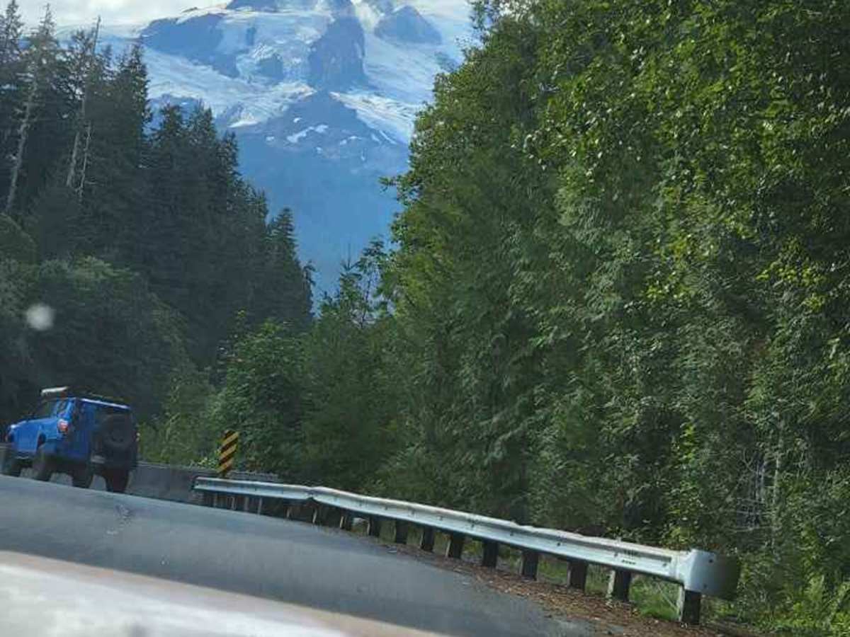
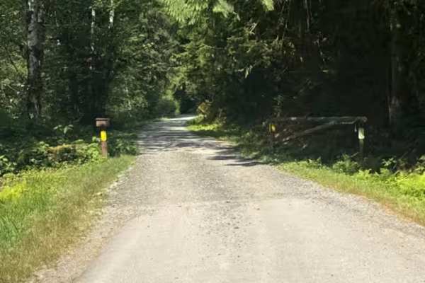
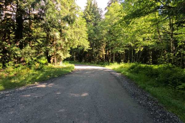
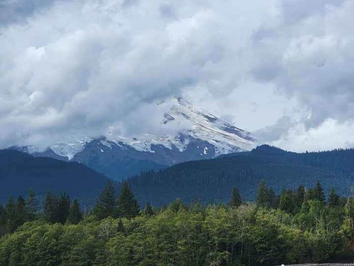
Baker River Road is a combination of paved, dirt and gravel roads at varying points. This is an easy and not rutted out and back trail that drives around multiple locations of Baker Lake, including the swimming and boat launch areas. There are multiple dispersed camping locations directly on the side of the roadway next to the water, including one next to a small waterfall, however please be warned that you will need to have a Northwest Forest Pass visible as it is regularly enforced and ticketed. At times, there are multiple rangers checking specifically for this pass and ticketing anyone who did not have it displayed. I ran this area in the fall and am not positive on it's accessibility during the winter months.

Photos of Baker River Road

Difficulty

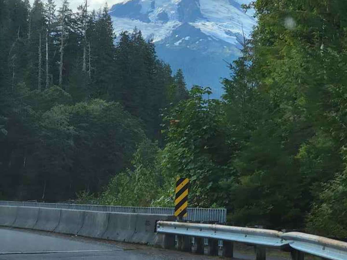
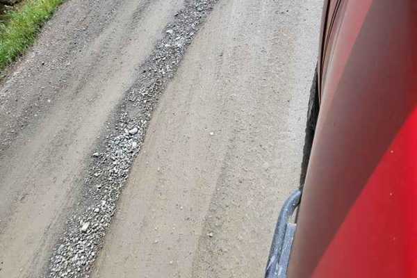
I gave this a 1 rating because I feel like someone with zero experience would be fine on this combination terrain road. There were no large potholes or bumps and was paved with dirt and gravel sections.

Technical Rating

1

Status Reports

Add Status Report
Joah Wright
Jul 13, 2025
Open
NormalDusty
The hardest part about this trail is navigating all the tourist who don’t know how to properly pull their trailer off the road. Extremely busy in the summer months.
Erin G - Goby0ne
Jun 21, 2025
2024 Toyota Land Cruiser
Open
Dusty
Hanna Walters
Nov 25, 2023
Open
Muddy/Wet
Taj Ghumman
May 27, 2023
Open
Steve Sullivan
May 16, 2023
2014 Jeep Wrangler
Open
Dusty

Baker River Road Trail can be accessed by the following ride types:

  • Single Track
  • 50 Inch
  • 60 Inch
  • High Clearance
  • Full Width

Baker River Road Map

The onX Offroad Difference

onX Offroad combines trail photos, descriptions, difficulty ratings, width restrictions, seasonality, and more in a user-friendly interface. Available on all devices, with offline access and full compatibility with CarPlay and Android Auto. Discover what you're missing today!

Open Trail Map