4WD Summit Trail - 4W694

Total Miles4.4
Technical Rating
4Moderate
Best TimeSpring, Summer, Fall
Trail TypeFull-Width Road
Accessible By
Open Trail Map

Trail Overview

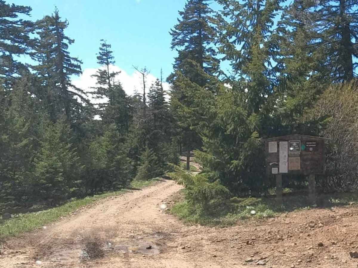
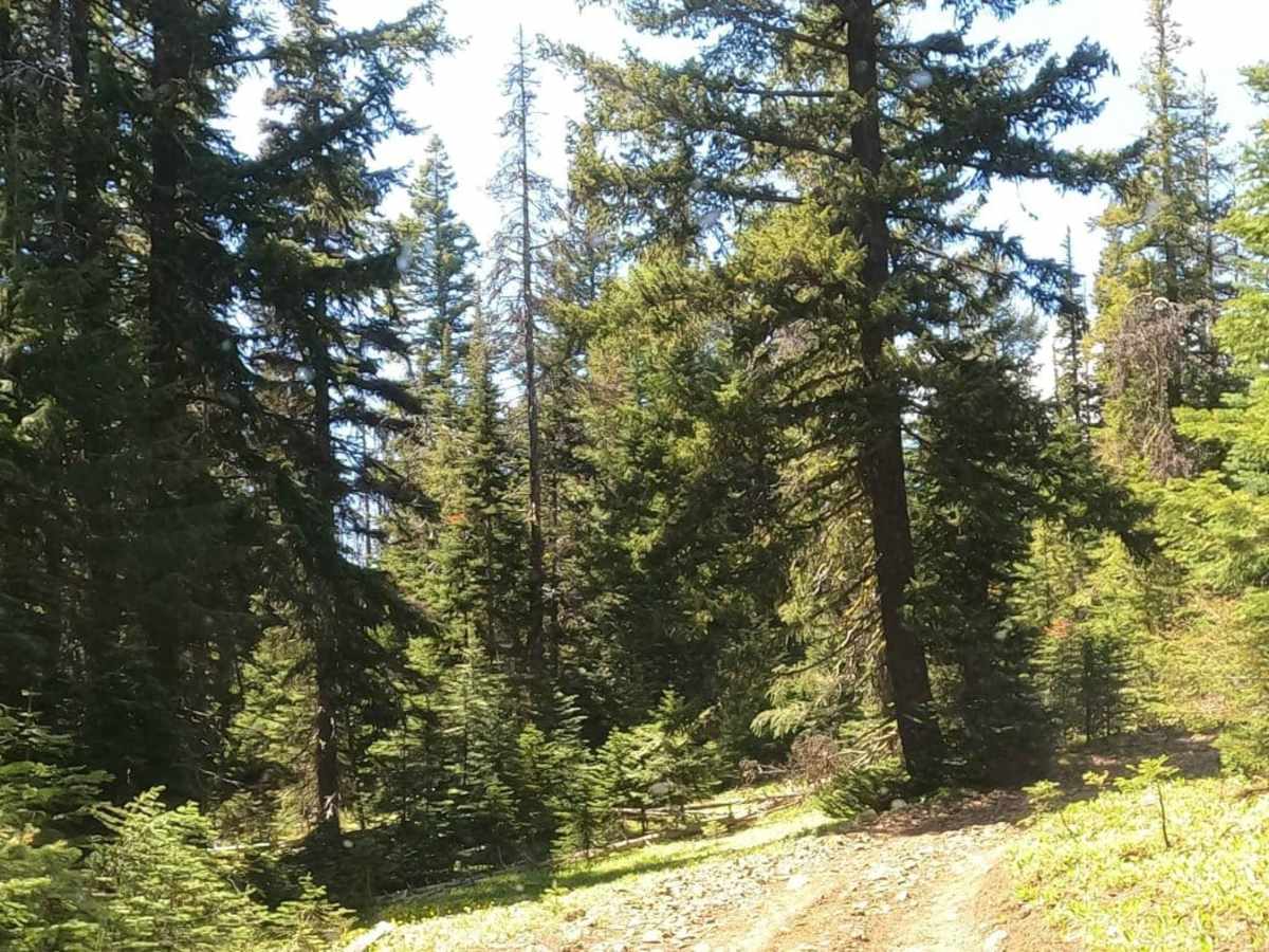
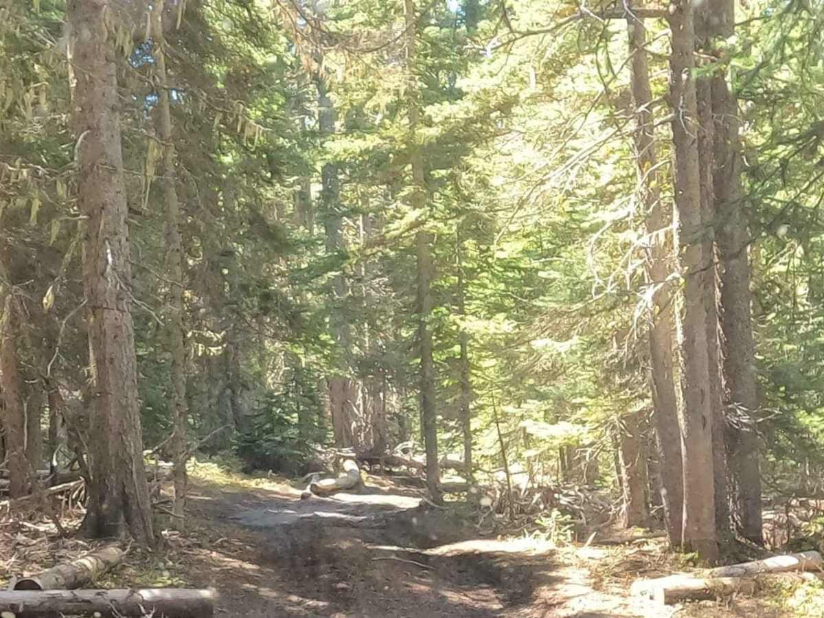
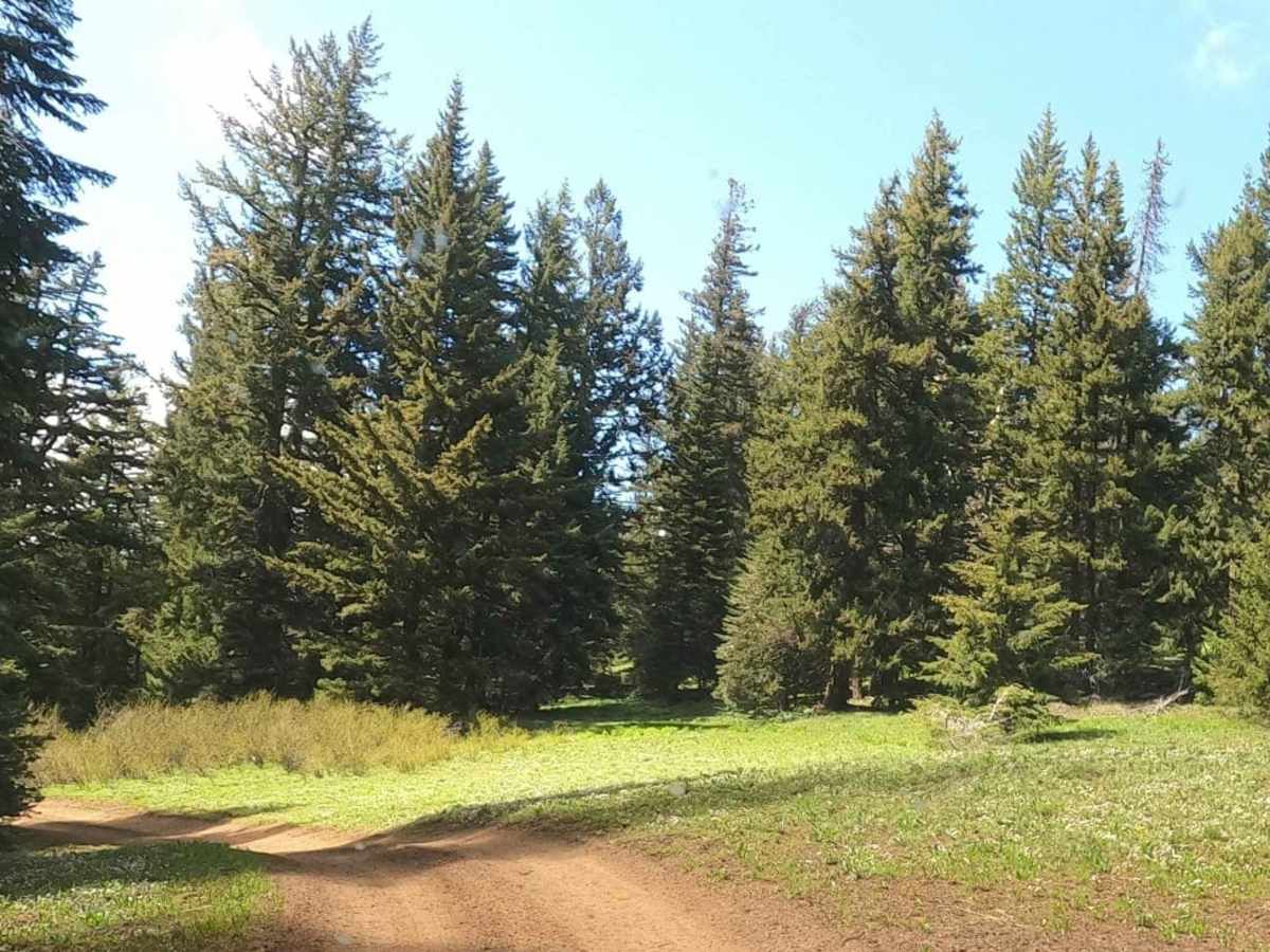
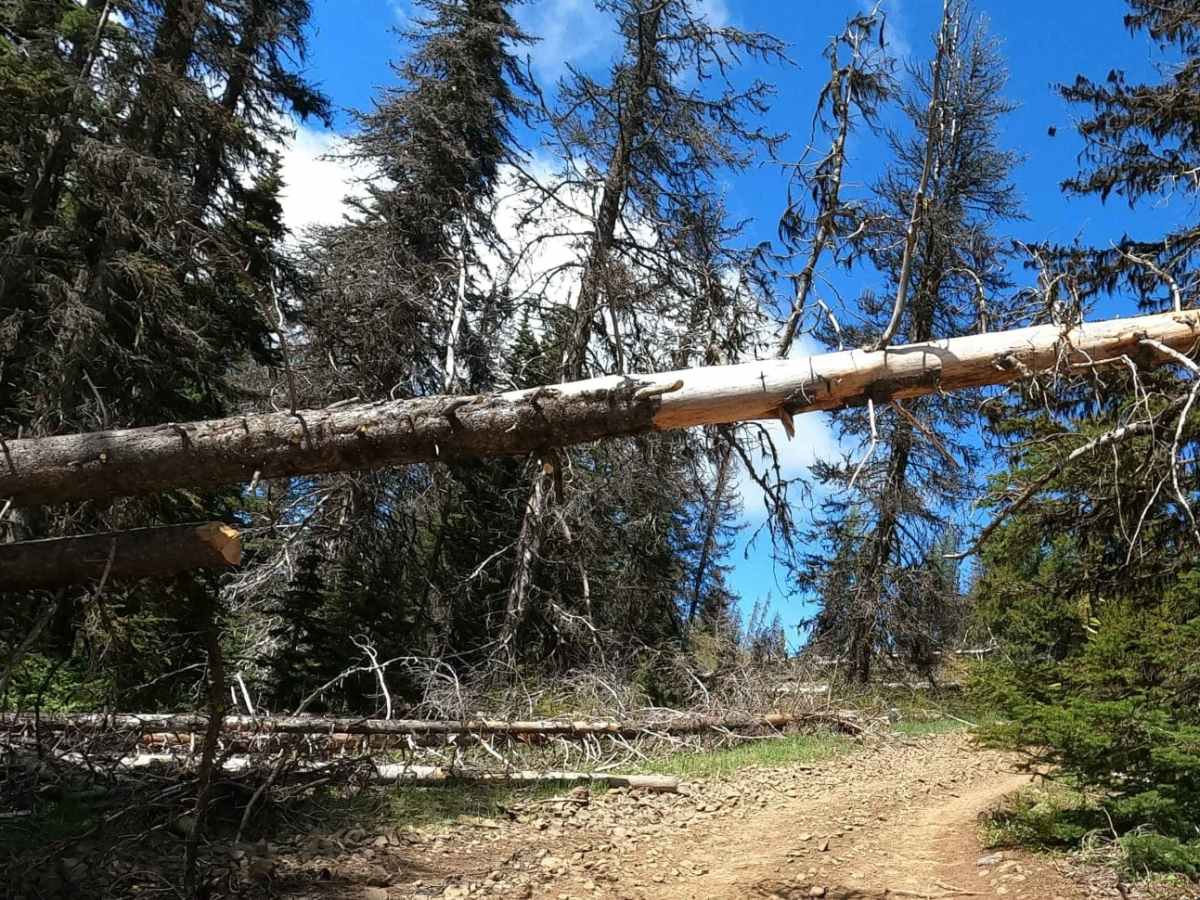
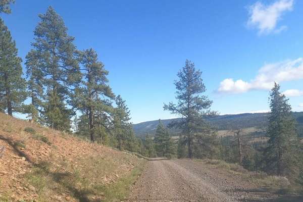
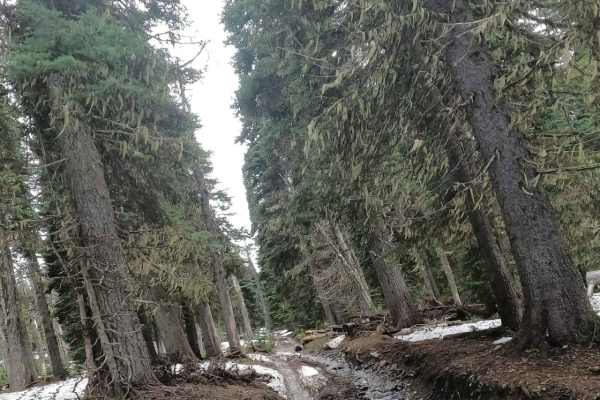
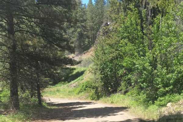
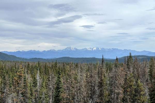
This is the 4-mile center section of the Summit Trail from where it crosses Manastash Ridge Road up to the rock-crawling areas of Funny Rocks and Moon Rocks. It is a tight and twisty trail full of slippery roots and mud holes and is designed for short-wheel-based vehicles and UTVs. There is little room to pass, and it is common to run into groups traveling in either direction. When wet or snowy, this trail is much more challenging, and light body damage is probable as one slips and slides against the trees. We rated this as a 4 when dry. It would likely be a 5 when wet.

Photos of 4WD Summit Trail - 4W694

Difficulty

tight and twisty trail full of slippery roots and mud holes

Technical Rating

4

Status Reports

Add Status Report
mark peaslee
Jul 04, 2026
Open
Normal
The trail rating is correct at a solid 4. It’s not an “easy” trail but not too hard for something like a jeep wrangler. This is an actual off-road trail, not a dirt road. Full size vehicles will likely be damaged. It is tight and twisty like the description says.

4WD Summit Trail - 4W694 Trail can be accessed by the following ride types:

  • Single Track
  • 50 Inch
  • 60 Inch
  • High Clearance
  • Full Width

4WD Summit Trail - 4W694 Map

The onX Offroad Difference

onX Offroad combines trail photos, descriptions, difficulty ratings, width restrictions, seasonality, and more in a user-friendly interface. Available on all devices, with offline access and full compatibility with CarPlay and Android Auto. Discover what you're missing today!

Open Trail Map