Sandy Ridge Road

Total Miles5.8
Technical Rating
1Easy
Best TimeSpring, Summer, Fall, Winter
Trail TypeFull-Width Road
Accessible By
Open Trail Map

Trail Overview

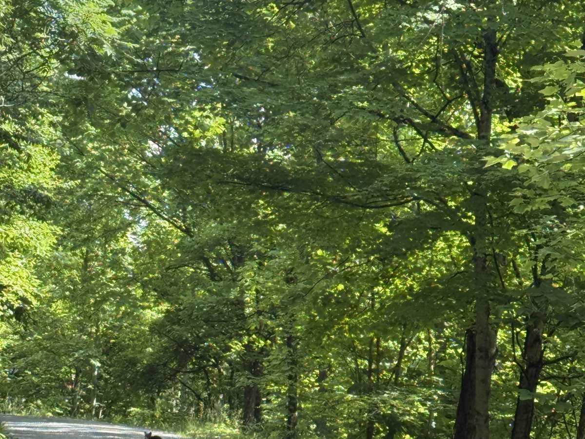
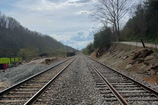
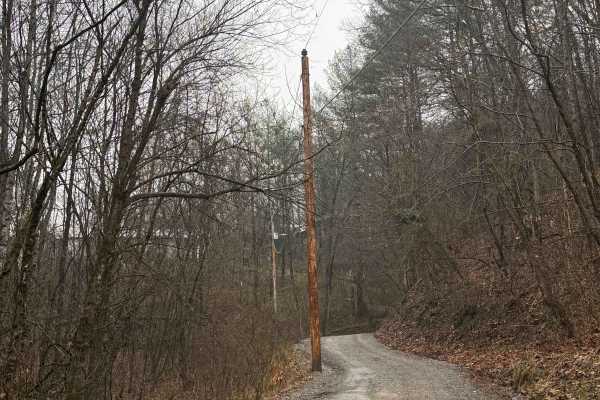
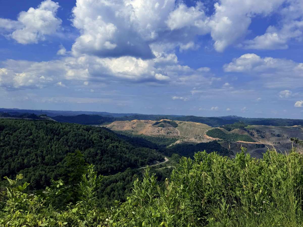
Sandy Ridge Road is a scenic, gravel two-track route that stays true to its name as it rides the high ridge line between Russell and Buchanan counties. Located in the heart of Southwest Virginia, the middle of the trail opens up to reveal sweeping views of the surrounding mountains and deep valleys. This unique route also runs directly along the edge of an active strip mine, giving travelers a firsthand look at the region's industrial landscape alongside its natural beauty.

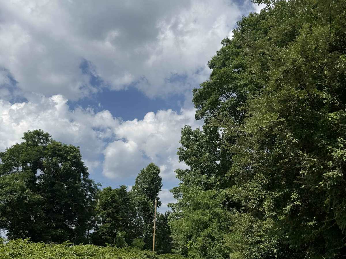
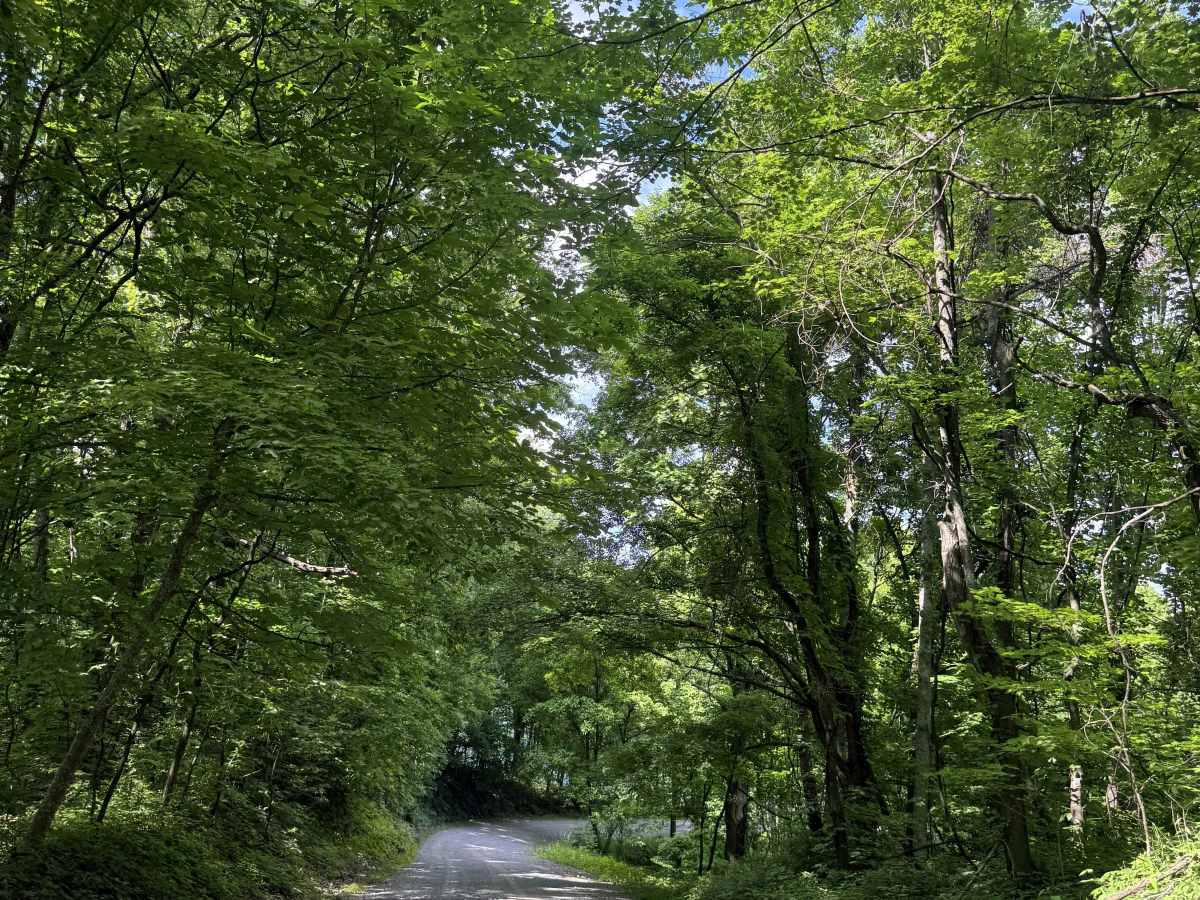
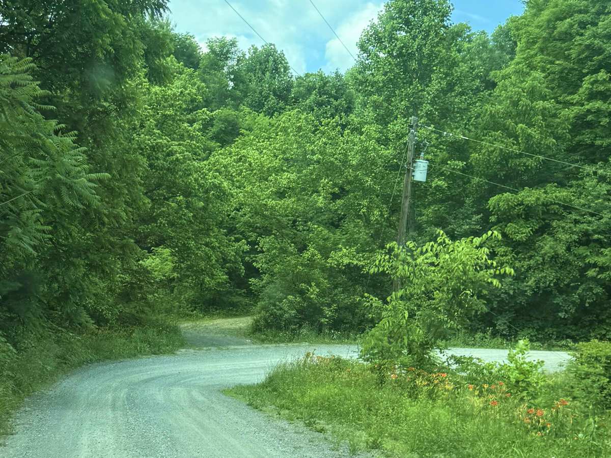
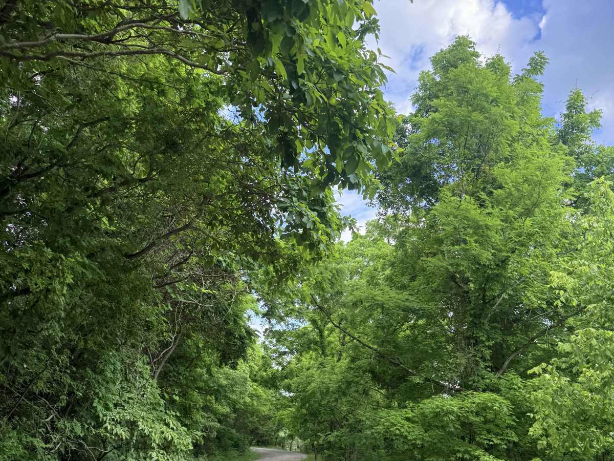
Photos of Sandy Ridge Road

Difficulty

High-clearance 2WD vehicles should not have any issues with this route. Keep in mind this is a remote route, so road and weather conditions can vary.

Technical Rating

1

Sandy Ridge Road Trail can be accessed by the following ride types:

  • High Clearance
  • Full Width

Sandy Ridge Road Map

The onX Offroad Difference

onX Offroad combines trail photos, descriptions, difficulty ratings, width restrictions, seasonality, and more in a user-friendly interface. Available on all devices, with offline access and full compatibility with CarPlay and Android Auto. Discover what you're missing today!

Open Trail Map