Pads Creek
Total Miles
9.7
Technical Rating
Best Time
Spring, Summer, Fall, Winter
Trail Type
Full-Width Road
Accessible By
Trail Overview
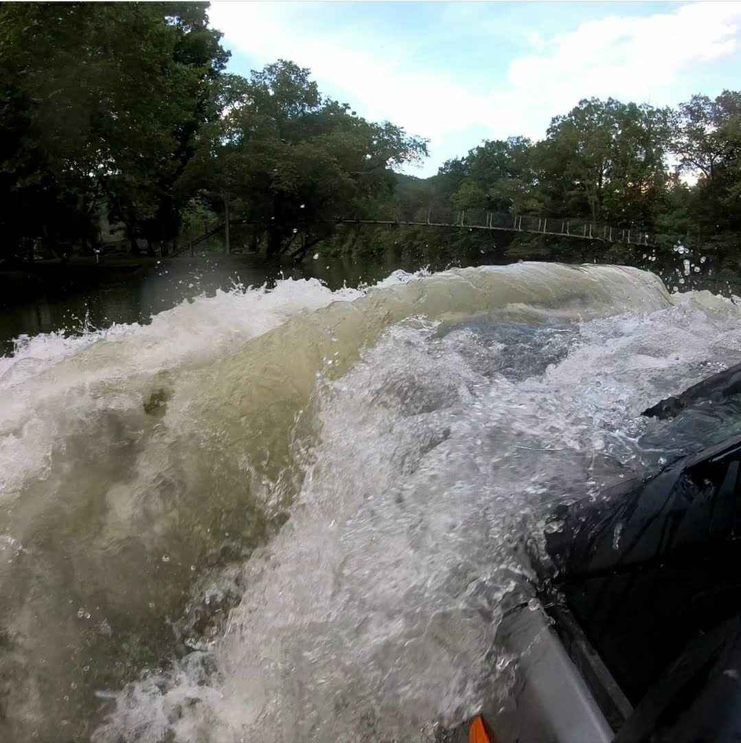
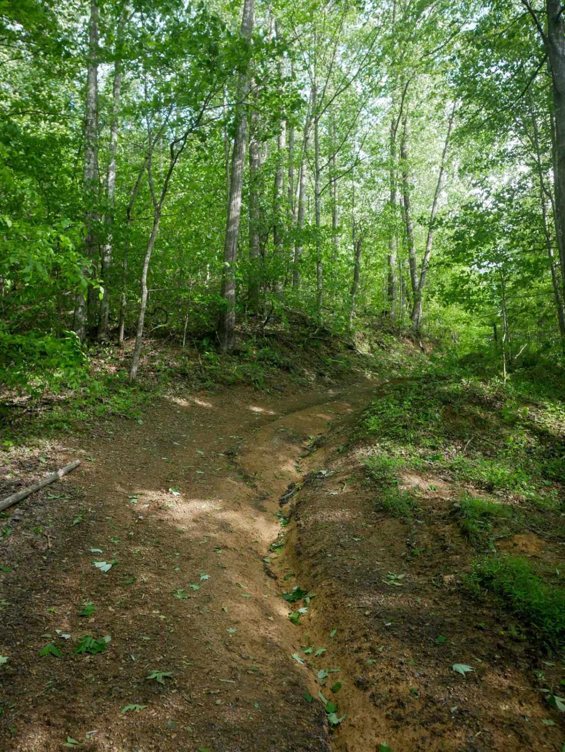
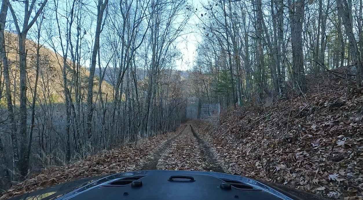
Pads Creek Trail travels along Forest Service trails and an unmaintained state road. The eastern portion winds along the creek through gravel National Forest trails with ample camping opportunities. Bubbling Springs Day Use Area with hiking trails is located along the route. At the intersection of Griffith Road 630 along an active rail line, the trail degrades into 2-track. There are multiple mud holes and creek crossings throughout. The initial creek crossings are rocky based and fairly shallow, but each one gets progressively larger depending on the direction of travel. Near the intersection with Route 42 is the largest water crossing, the Cow Pasture River. Depending on water flow, this crossing can range from 18 inches to well over 3 feet. Cell service along the route is almost non-existent. The western end from Route 42 is near the town of Clifton Forge and Interstate 64. The eastern end is accessed from Route 633 near Goshen.
Photos of Pads Creek

Difficulty
There's potential for several very deep and fast-moving water crossings. The Forest Service portion generally would be a 3.
Status Reports
Pads Creek can be accessed by the following ride types:
- High-Clearance 4x4
- SUV
Pads Creek Map
Popular Trails
FS-395 Liberty Trail


The onX Offroad Difference
onX Offroad combines trail photos, descriptions, difficulty ratings, width restrictions, seasonality, and more in a user-friendly interface. Available on all devices, with offline access and full compatibility with CarPlay and Android Auto. Discover what you’re missing today!