Wipeout Hill Loop

Total Miles6
Technical Rating
5Moderate
Best TimeSpring, Summer, Fall
Trail TypeFull-Width Road
Accessible By
Open Trail Map

Trail Overview

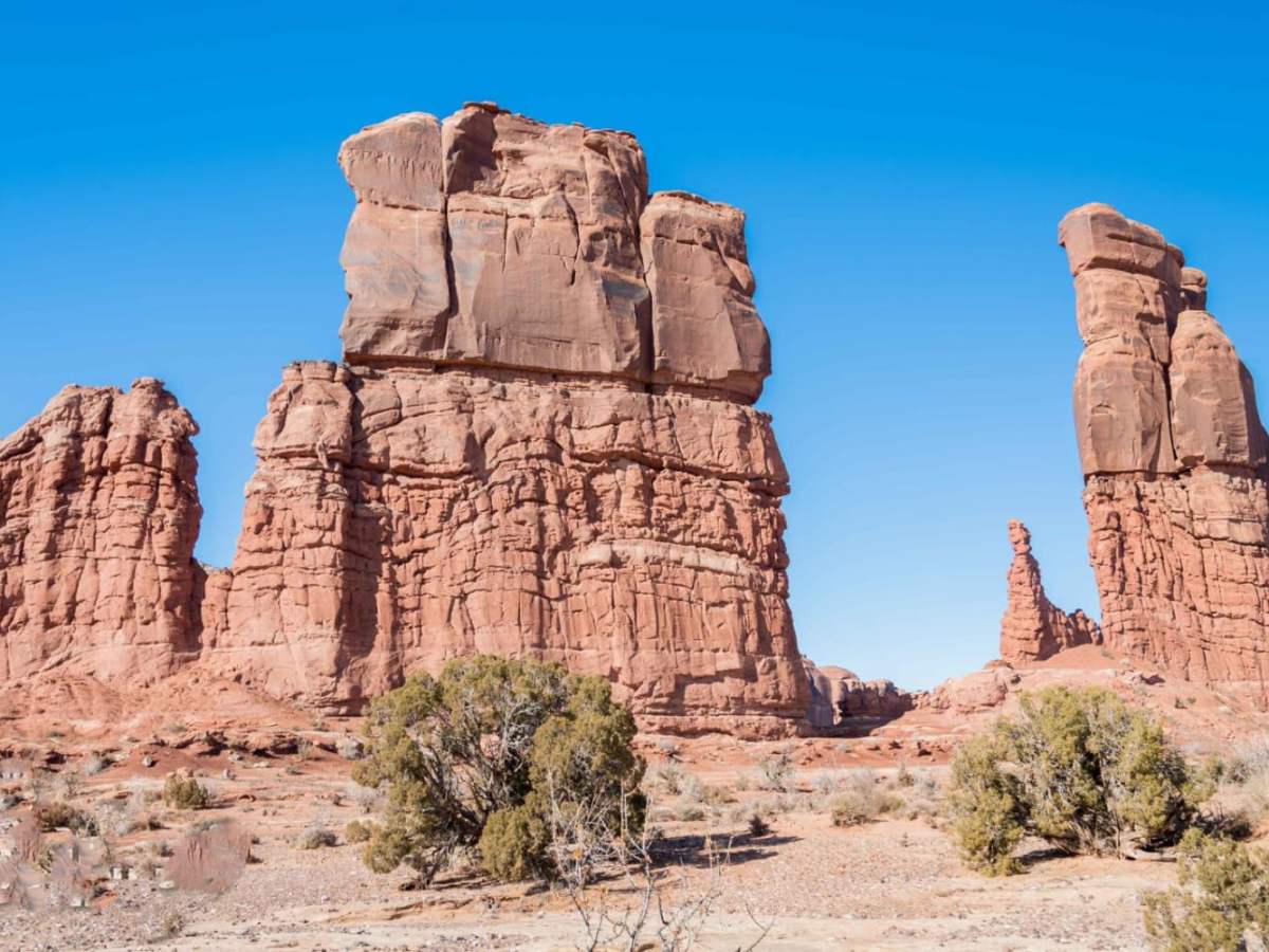
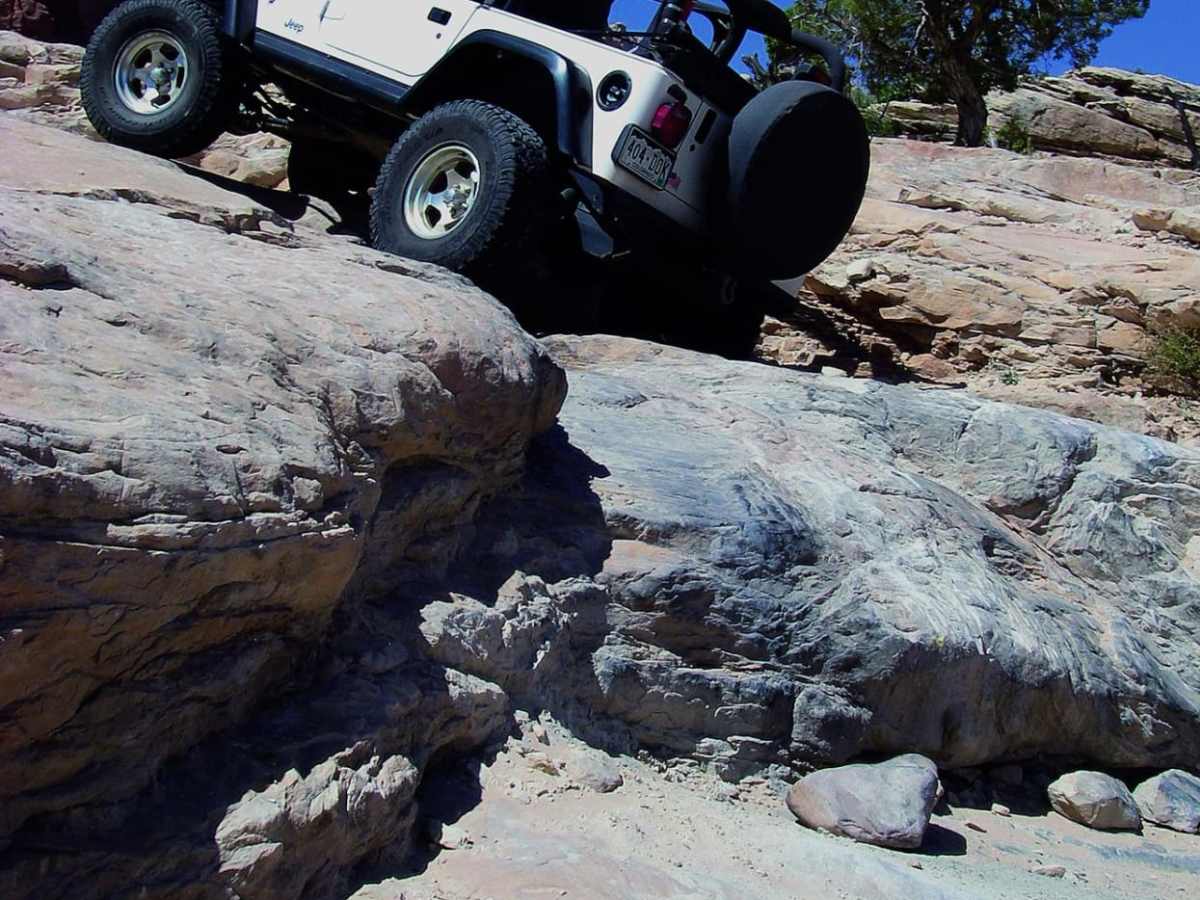
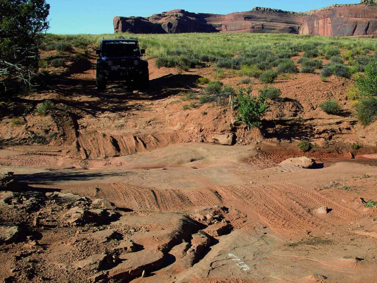
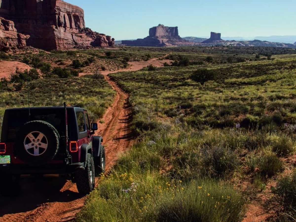
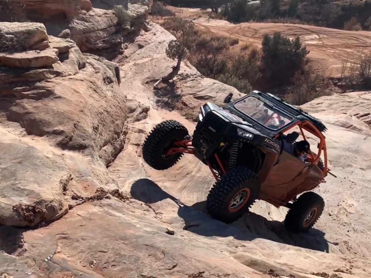
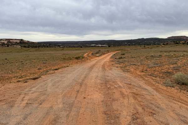
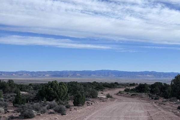
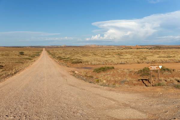
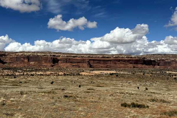
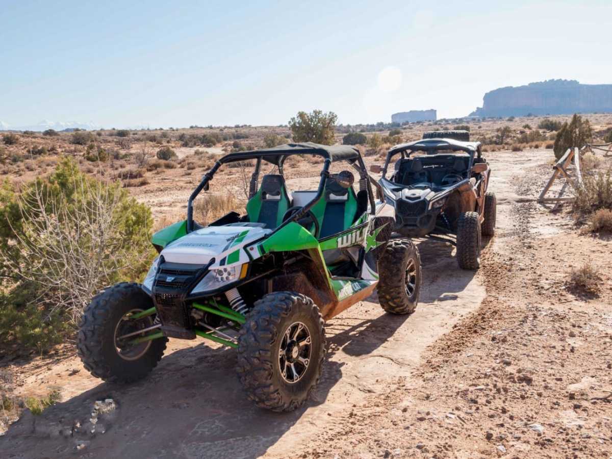
Wipeout Hill Loop is an intermediate 6-mile off-road trail near Moab, Utah, winding along the base of Lone Mesa toward the Monitor and Merrimac Buttes. Starting off Highway 313, the route features a mix of dirt tracks, sandy washes, and rolling slickrock. High-clearance 4WD vehicles or UTVs can easily navigate the loop, which provides a straightforward introduction to Moab's sandstone terrain. The trail offers views of red rock formations and Sevenmile Canyon. While the main loop is rated moderate, the nearby optional Wipeout Hill obstacle features steep, stepped slickrock ledges that require built rigs. The route is accessible year-round, with spring and fall offering the most favorable weather, and connects to other nearby trails like Sevenmile Rim.

Photos of Wipeout Hill Loop

Difficulty

Much of the trail is easy, but there are a few sections of rough, steep slickrock. The average 4-wheel-drive SUV with decent ground clearance should do just fine.

Technical Rating

5

Status Reports

Add Status Report
Andrew Mair
Nov 27, 2024
2014 Toyota Tacoma
Open
NormalMuddy/Wet
I thought this might be the easy way out from wipeout hill, I was wrong. There are some nice technical areas that are fun. I did fine with a 2" lift and no lockers, so that should let you know.
Tiffany Smith
Mar 16, 2024
Open
Muddy/Wet
Sean Johnson
Oct 27, 2023
Open
Normal
molly a-y
Apr 04, 2023
Open

Wipeout Hill Loop Trail can be accessed by the following ride types:

  • Single Track
  • 50 Inch
  • 60 Inch
  • High Clearance
  • Full Width

Wipeout Hill Loop Map

The onX Offroad Difference

onX Offroad combines trail photos, descriptions, difficulty ratings, width restrictions, seasonality, and more in a user-friendly interface. Available on all devices, with offline access and full compatibility with CarPlay and Android Auto. Discover what you're missing today!

Open Trail Map