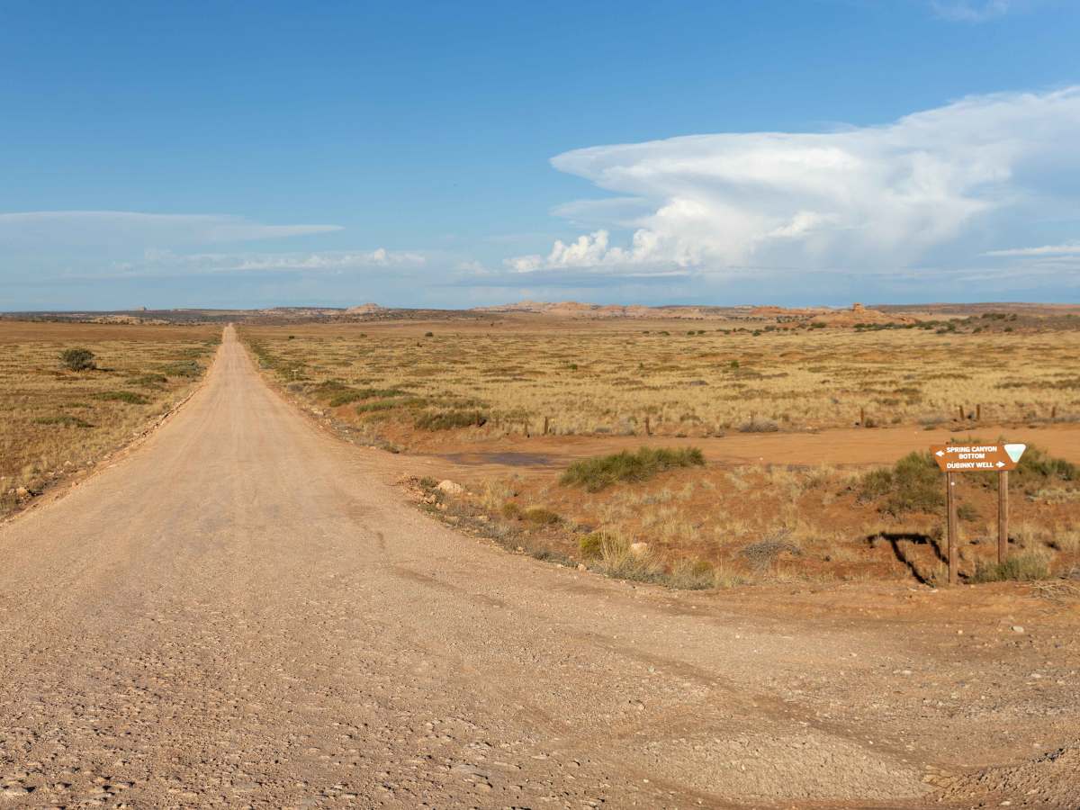
Trail Overview
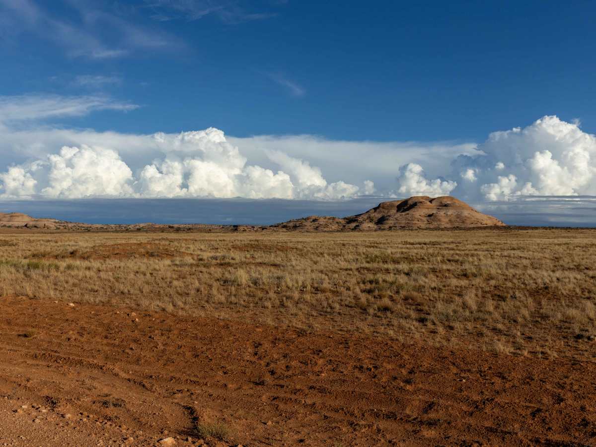
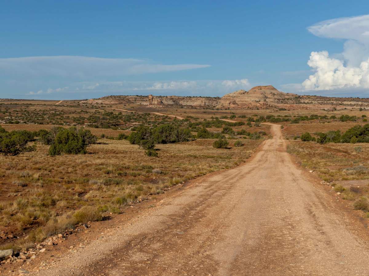
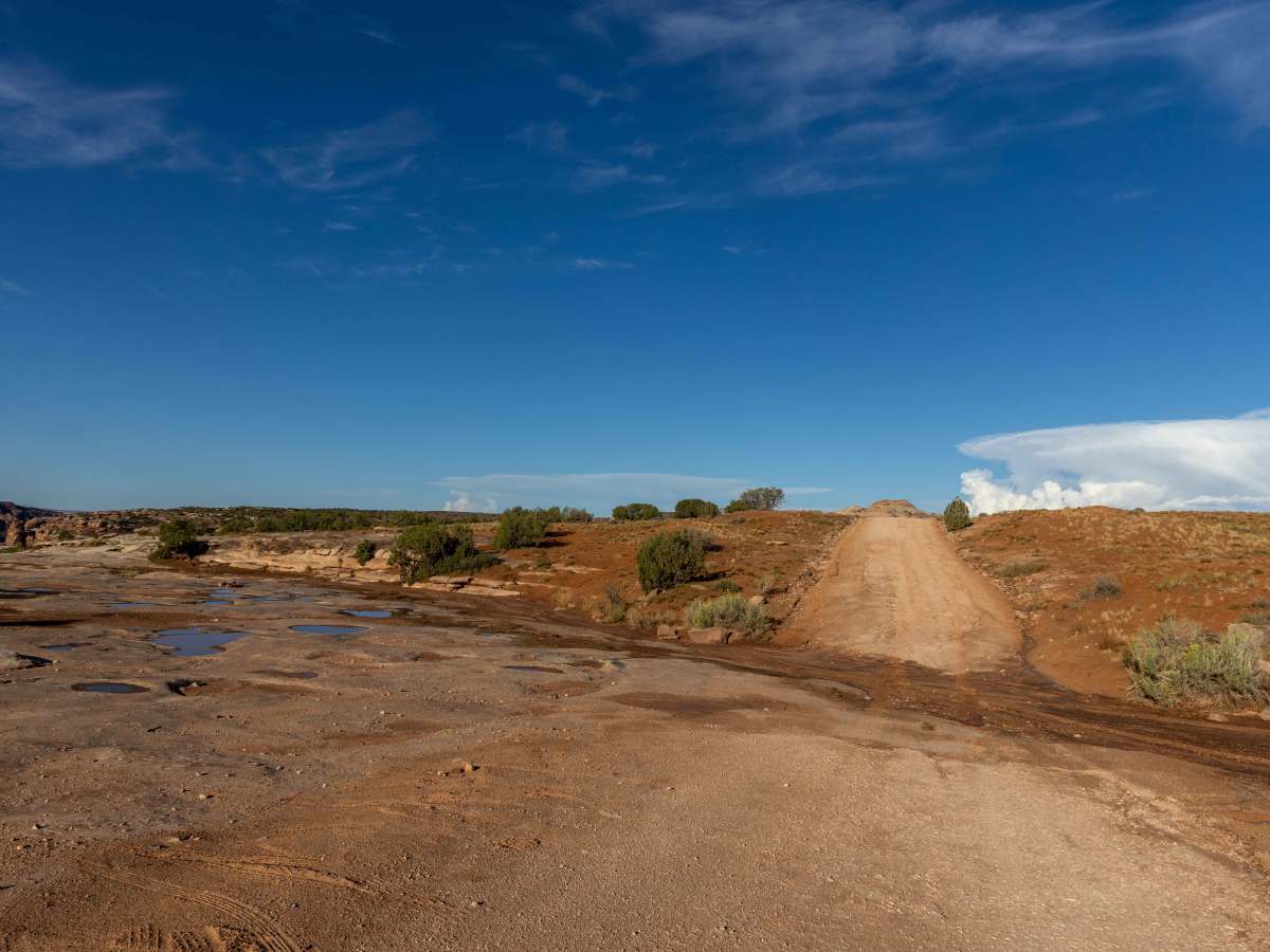
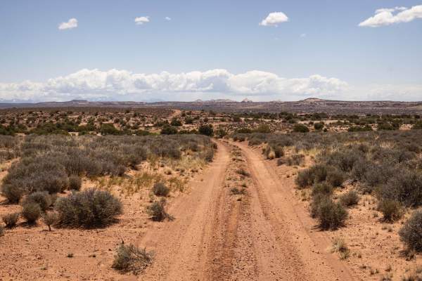
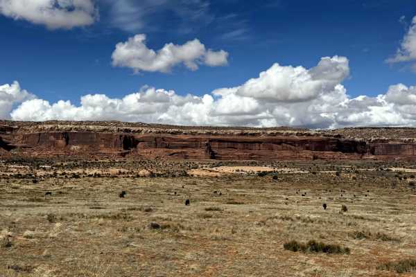
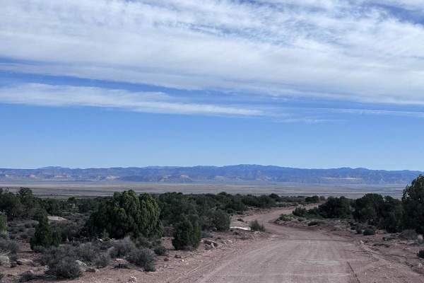
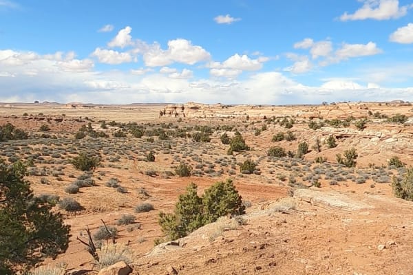
Spring Canyon Bottom begins as a wide road that gradually narrows as it descends into canyon terrain. You'll drive down shelf-road sections and make frequent wash crossings, with exposed rock and erosion showing in many stretches. Narrow points appear where the walls close in, particularly as you approach the bottom of the canyon. A campground is tucked into the canyon floor, offering overnight stays in a remote setting. There are no true obstacles to block the way, though the terrain demands attention in places, as erosion has exposed cracks and larger rocks that require careful tire placement. Cellular service is essentially nonexistent. Spring Canyon Bottom lies on Bureau of Land Management ground and is part of the broader Spring Canyon / Island in the Sky area near Moab. The road has roots in mid-20th-century uses, including mining prospecting and access roads, especially for the Hey Joe Mine uranium operations. Geologically, Spring Canyon cuts through several classic formations of the Canyonlands region. The canyon walls and exposed rocks are often weathered Wingate Sandstone, and you may also see underlying layers from the Cutler Formation and other sedimentary beds, which contribute to the region’s ledges, shelf roads, and erosion patterns
Difficulty
This is an unmaintained trail that has its roughest sections after the gate, on the shelf road into the canyon. Erosion and trail damage require careful tire placement, and a steep drop-off of the shelf road demands your attention. Caution is urged.
History
The history of Spring Canyon Bottom in Moab is rooted in the uranium boom and subsequent use by the petroleum industry, resulting in a bulldozed route through the canyon that is now used for off-roading and jeeping. While there isn't a specific historical account of its origin as a formal trail, it developed from the "profit-seeking" ways of prospectors and later the oil and gas industry.