Trail Overview
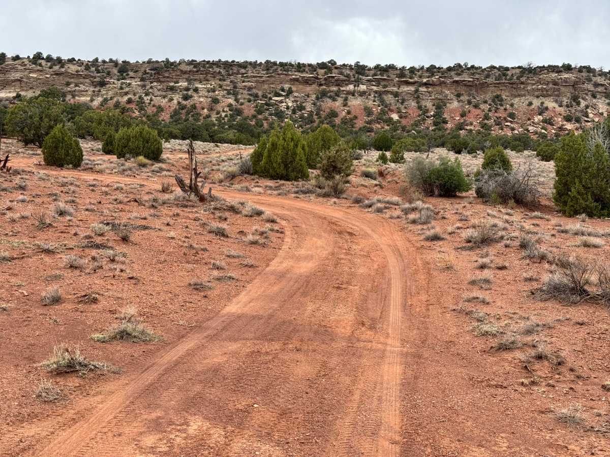
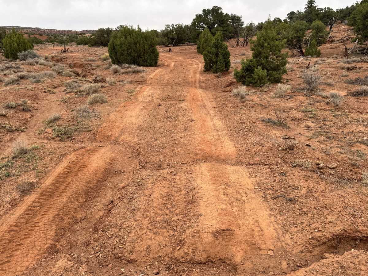
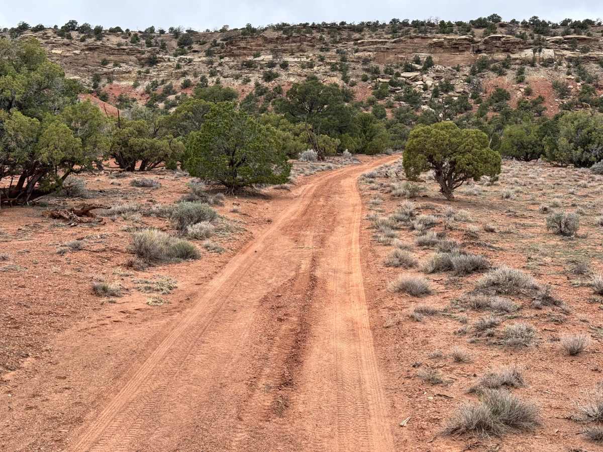
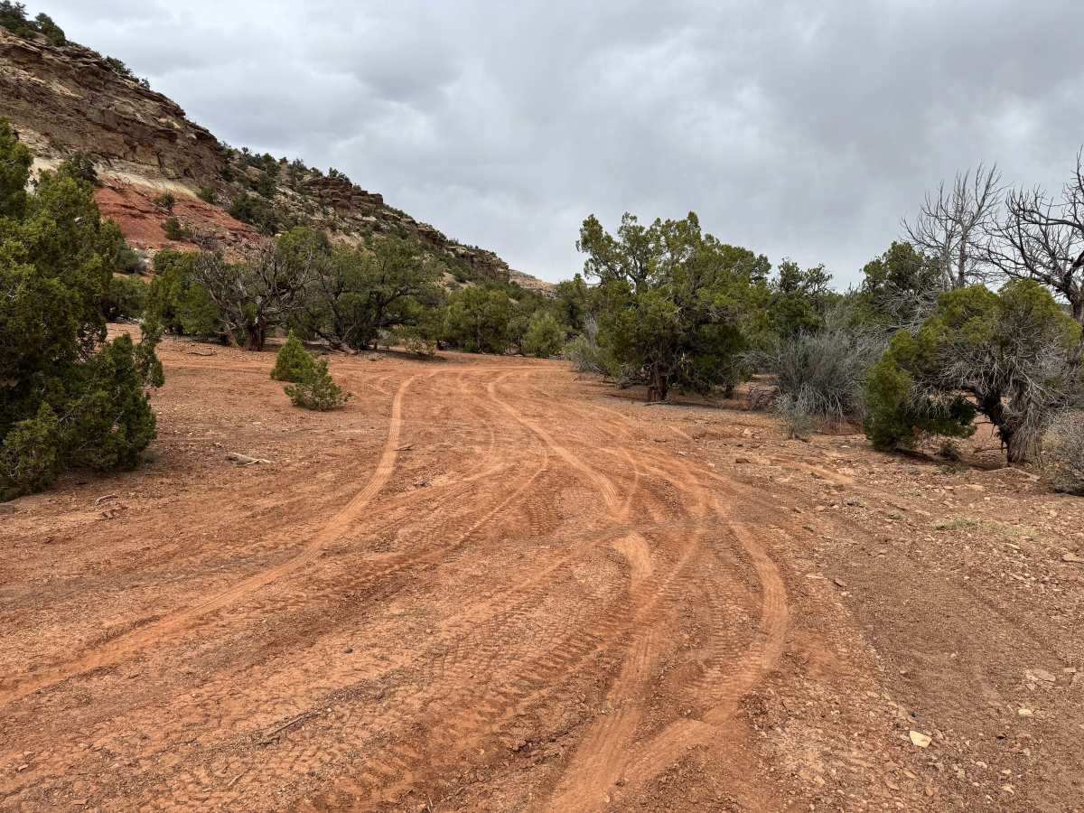
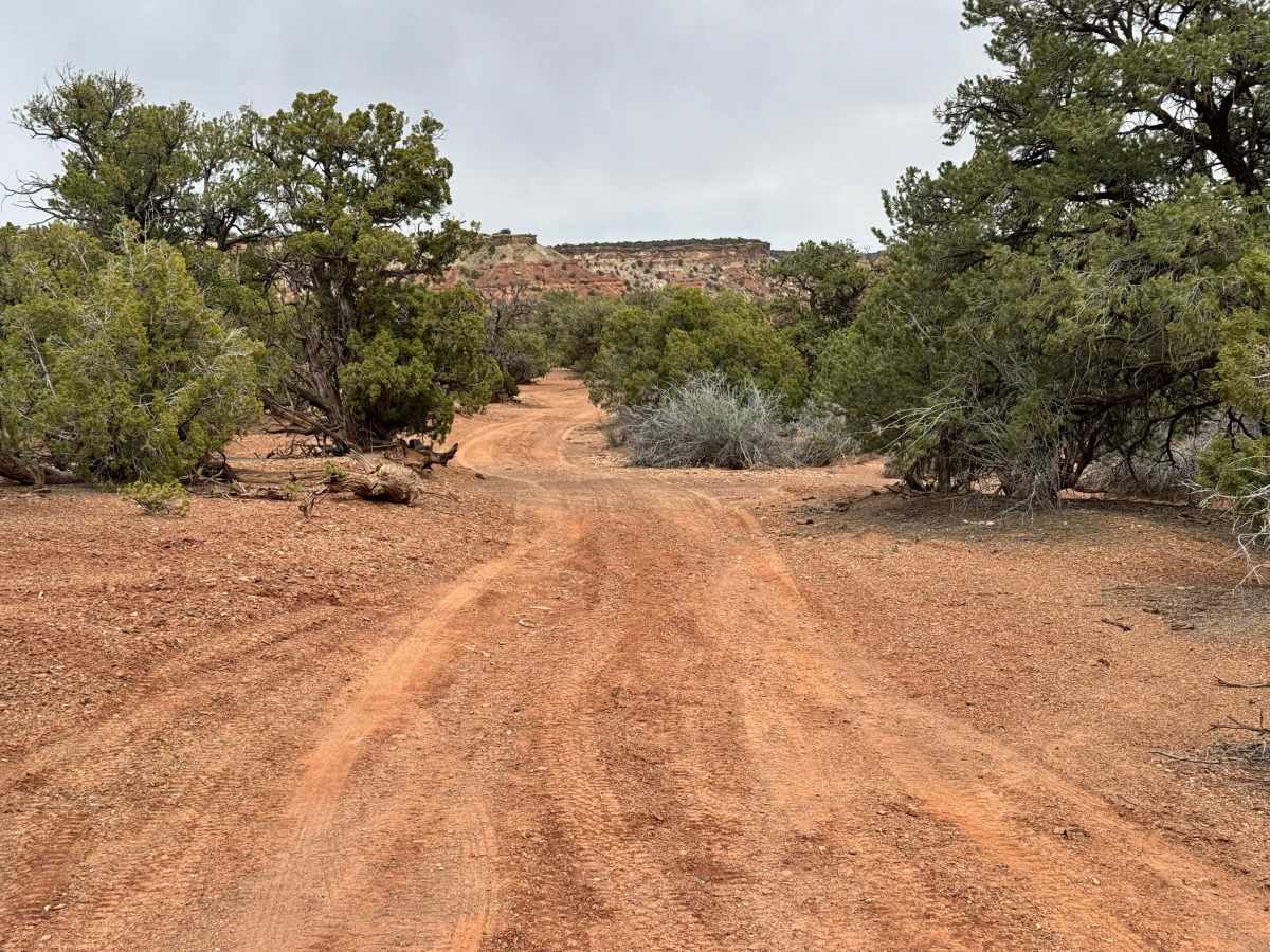
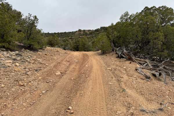
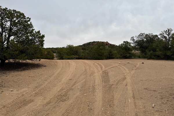
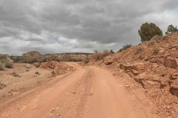
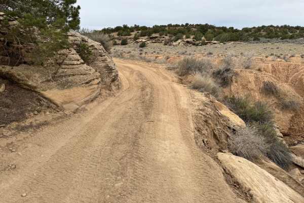
Non-Resident OHV permits apply to ATVs, UTVs, and dirt bikes. Plated street-legal vehicles typically do not need one on legal motorized routes. This short detour off Family Butte Road leads to what is believed to be a decommissioned uranium mine site, offering a quick side trip with a mix of history and light adventure. The access road is a moderate two-track with mild washouts and uneven sections that make high clearance recommended, especially after storms or seasonal runoff. While the drive is short, it provides a more rugged feel than the surrounding main roads. At the turnaround area, visitors can park and explore on foot using a small hiking trail that leads toward the old flume and sealed mine tunnels. The area offers a glimpse into the region’s mining past and the legacy of uranium exploration in the desert. Please respect the site by leaving everything as you found it and avoiding disturbance of historic remnants. This location is intended for day use only, and camping at the mine site is not permitted.
Difficulty
This short spur is more rugged than the main road but still manageable for most high-clearance 4x4 vehicles. Mild washouts, uneven two-track terrain, and occasional erosion are the main challenges. No major technical obstacles are noted, but extra clearance is recommended to avoid underbody contact. In dry conditions, stock high-clearance 4x4s should have little trouble. Wet weather can increase difficulty quickly, due to the sand becoming slick clay and acting like ice.
History
The San Rafael Swell is a massive geologic uplift shaped by erosion into canyons, mesas, domes, and reefs. Many roads in the region were later used for ranching, mining, and energy exploration, creating the access routes travelers still use today.