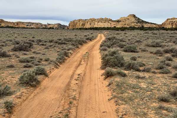
Trail Overview
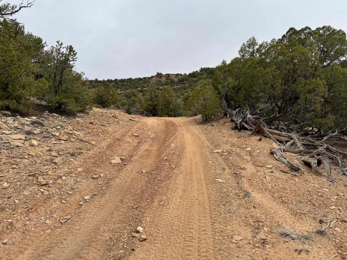
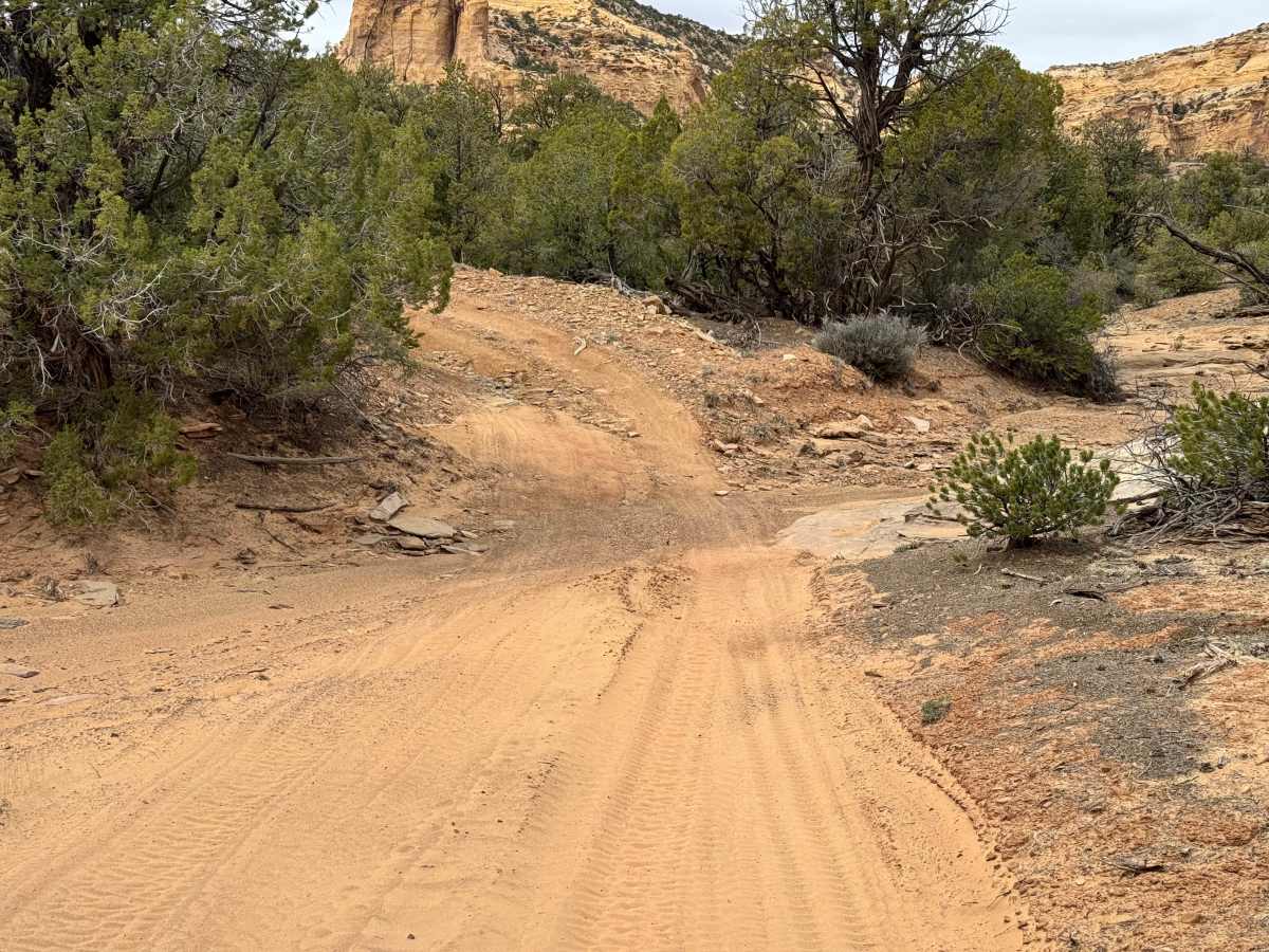
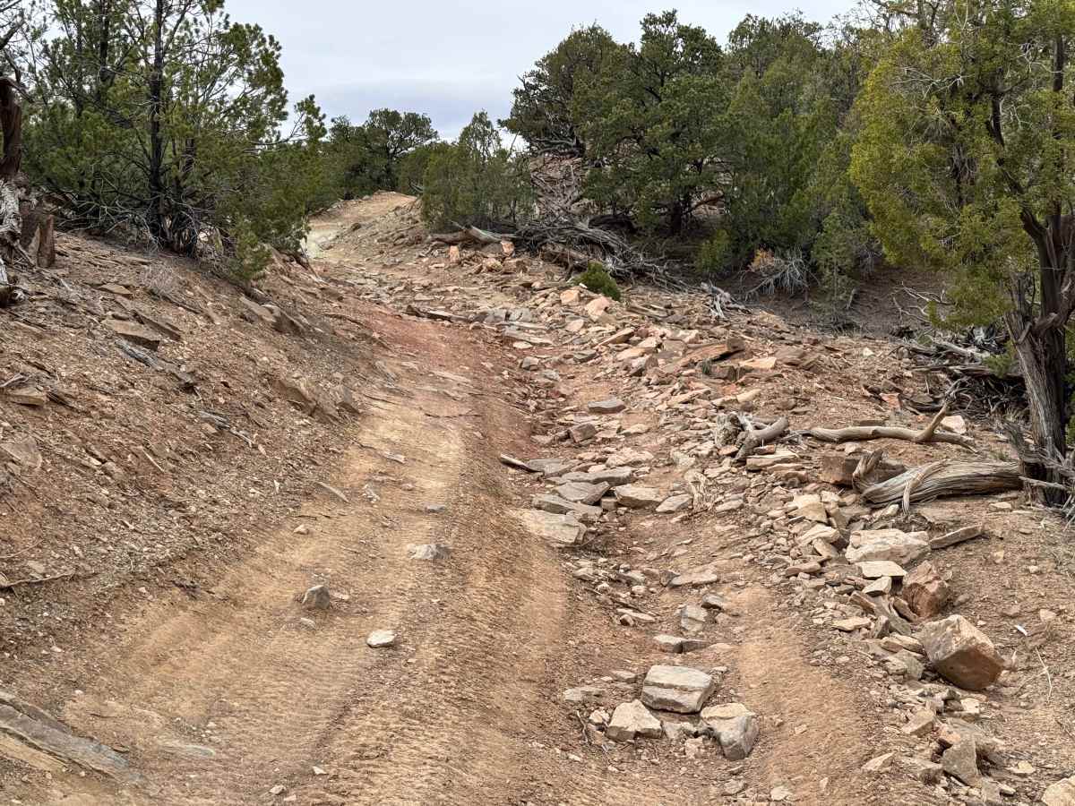
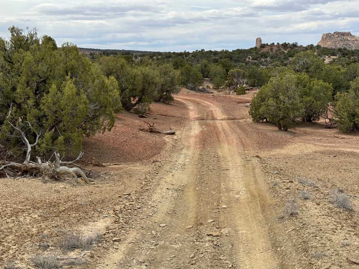
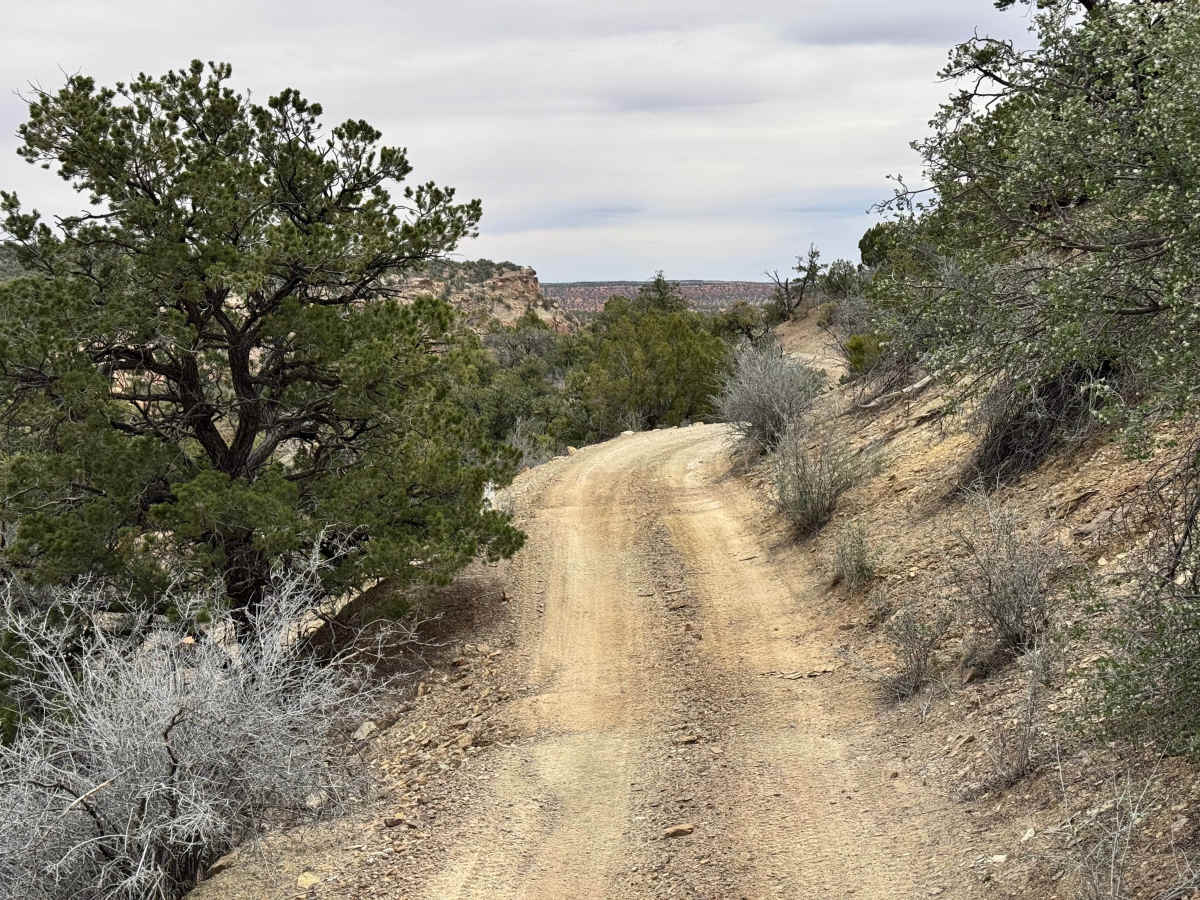
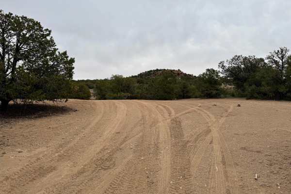
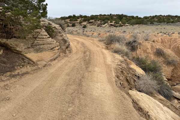
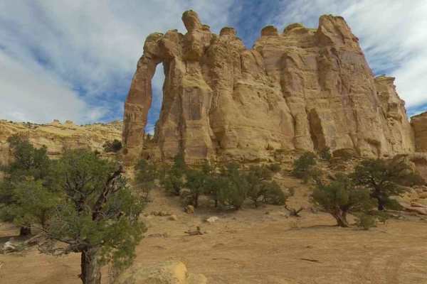
Non-Resident OHV permits apply to ATVs, UTVs, and dirt bikes. Plated street-legal vehicles typically do not need one on legal motorized routes. This lesser-used connector route links Rods Valley Road with BLM 822, offering a quieter alternative to the more traveled roads in the area. The trail is mostly a narrow dirt two-track with sections of loose rock, shallow ruts, and a few uneven climbs that keep drivers paying attention. Vegetation grows close to the trail in many spots, creating tight corridors where pinstriping is very likely for wider vehicles. While there are no major technical obstacles shown, the limited width and occasional rough patches make careful driving important. Some sections wind through trees, while others open to views of surrounding mesas, sandstone formations, and rolling high desert terrain. There were no established campsites noted along this route, so it is best used as a scenic connector rather than a destination trail. High clearance is helpful, but most capable 4WD vehicles should handle it in dry conditions.
Difficulty
This connector trail has no major technical obstacles, but its narrow width, overgrown vegetation, and occasional loose rock or rutted sections that may put your vehicle off-camber add challenge beyond a standard graded road. Expect tight brush that can cause pinstriping, especially for wider vehicles. High clearance is helpful, though most stock high clearance 4x4 vehicles should complete it without issue in dry conditions. Wet weather, erosion, or downed Junipers could increase difficulty.
History
The San Rafael Swell is a massive geologic uplift shaped by erosion into canyons, mesas, domes, and reefs. Many roads in the region were later used for ranching, mining, and energy exploration, creating the access routes travelers still use today.