Trail Overview
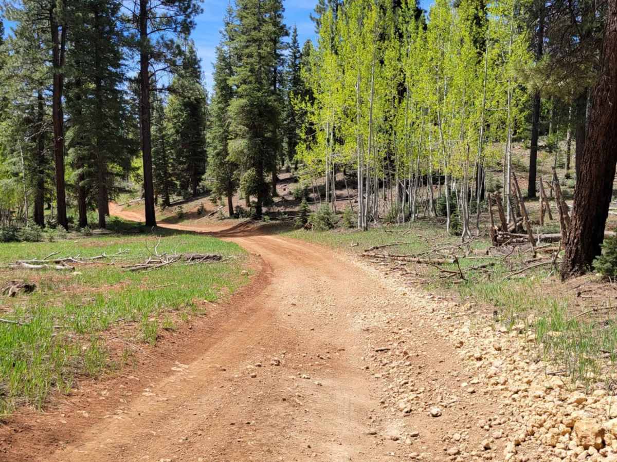
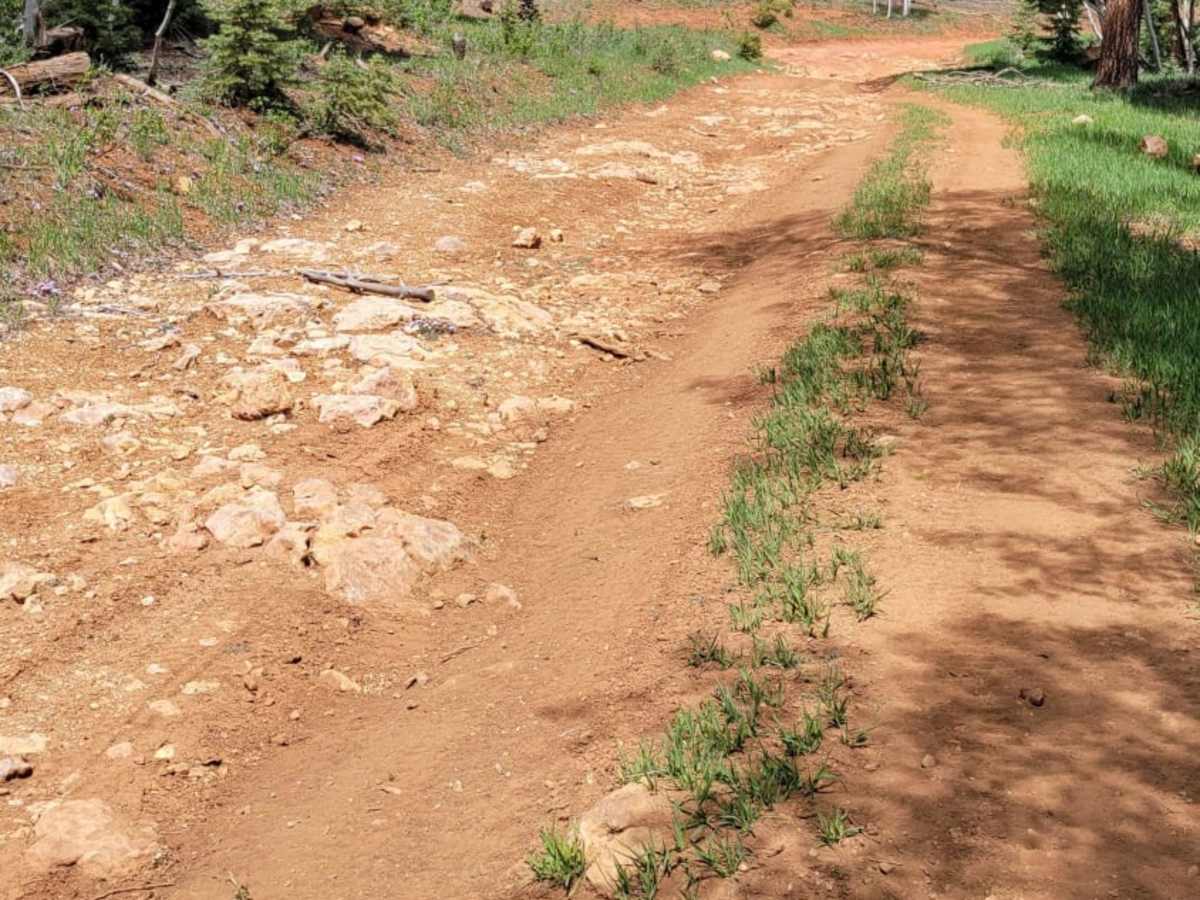
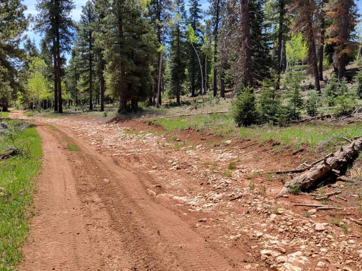
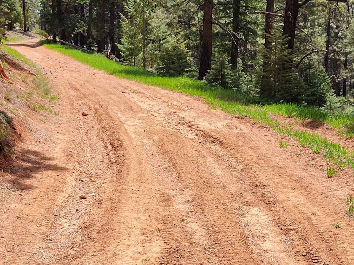
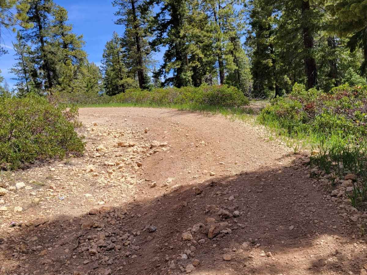
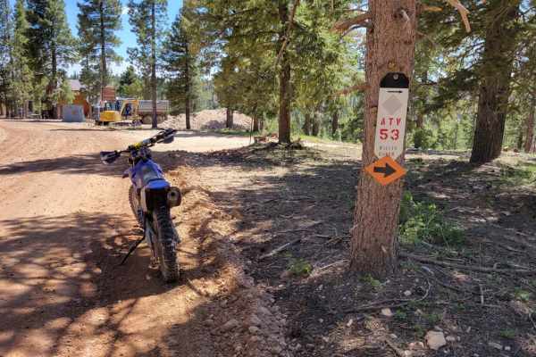
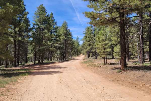
Upper Canyon Loop is an exciting, scenic trail designed for intermediate offroaders looking for a quick but challenging loop within the Dixie National Forest's Markagunt OHV System. Spanning approximately 4.1 miles, this route climbs from an elevation of 7,915 feet up to 8,304 feet, offering magnificent glimpses overlooking the surrounding pine forest. The trail, also designated as Trail #62, features a technical rating of 4 due to a steep, rocky hill climb that can be tackled in either direction depending on travel preference. In addition to this steep gradient, drivers will navigate several large rocky patches and uneven dirt sections that require careful tire placement.
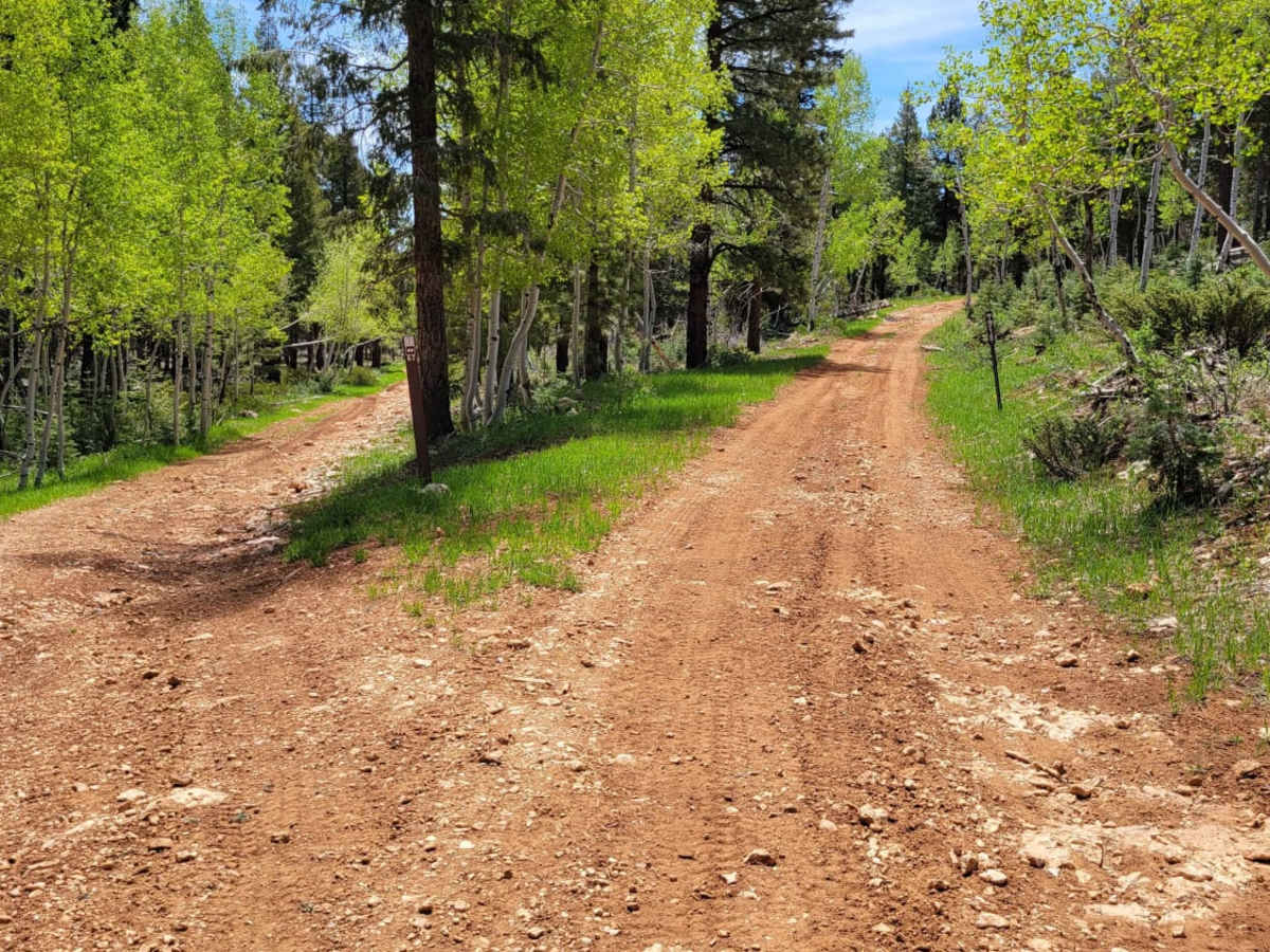
High-clearance four-wheel-drive vehicles, SxSs, and dirt bikes are well-suited for this loop, as they will easily handle the 430 feet of elevation gain and potential trail obstacles. Depending on recent weather, water can collect in low-lying areas, creating deep ruts and muddy dips that add an extra layer of difficulty to the route. Since this trail sits at high elevation, the best time to visit is from late spring through autumn, as winter snows typically block access. The loop connects seamlessly with Strawberry Ridge and other trails in the Swains Creek area, making it a perfect addition to a longer day of exploring the Markagunt Plateau.