Tommy Loop Access

Total Miles1.3
Technical Rating
2Easy
Best TimeFall, Summer
Trail TypeFull-Width Road
Accessible By
Open Trail Map

Trail Overview

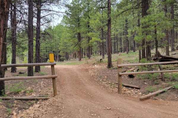
Tommy Loop Access is a 1.3-mile connector trail in the Dixie National Forest, linking USFS Road 067 (Mammoth Creek Road) with the Tommy Loop trail. Running through pine and aspen forest on the Markagunt Plateau at elevations around 8,300 feet, the dirt route offers a gentle gradient suitable for standard high-clearance 4WD vehicles, full-sized trucks, and towable campers. Minor obstacles include shallow erosion ruts and small rocks. Dispersed campsites are located at both ends of the trail, providing staging or camping options within the larger Markagunt Plateau OHV network.

Photos of Tommy Loop Access

Difficulty

There are a couple of small erosion ruts on the trail, but nothing too difficult.

Technical Rating

2

Status Reports

Add Status Report
John Peck
Jul 22, 2023
Open
Dusty

Tommy Loop Access Trail can be accessed by the following ride types:

  • Single Track
  • 50 Inch
  • 60 Inch
  • High Clearance
  • Full Width

Access Description

Located within the Dixie National Forest, this trail is free to access and does not require permits. Dispersed camping is allowed at both ends of the trail on a first-come, first-served basis. High-elevation winter snowpack typically keeps this route closed or impassable from late autumn through late spring.

Tommy Loop Access Map

The onX Offroad Difference

onX Offroad combines trail photos, descriptions, difficulty ratings, width restrictions, seasonality, and more in a user-friendly interface. Available on all devices, with offline access and full compatibility with CarPlay and Android Auto. Discover what you're missing today!

Open Trail Map