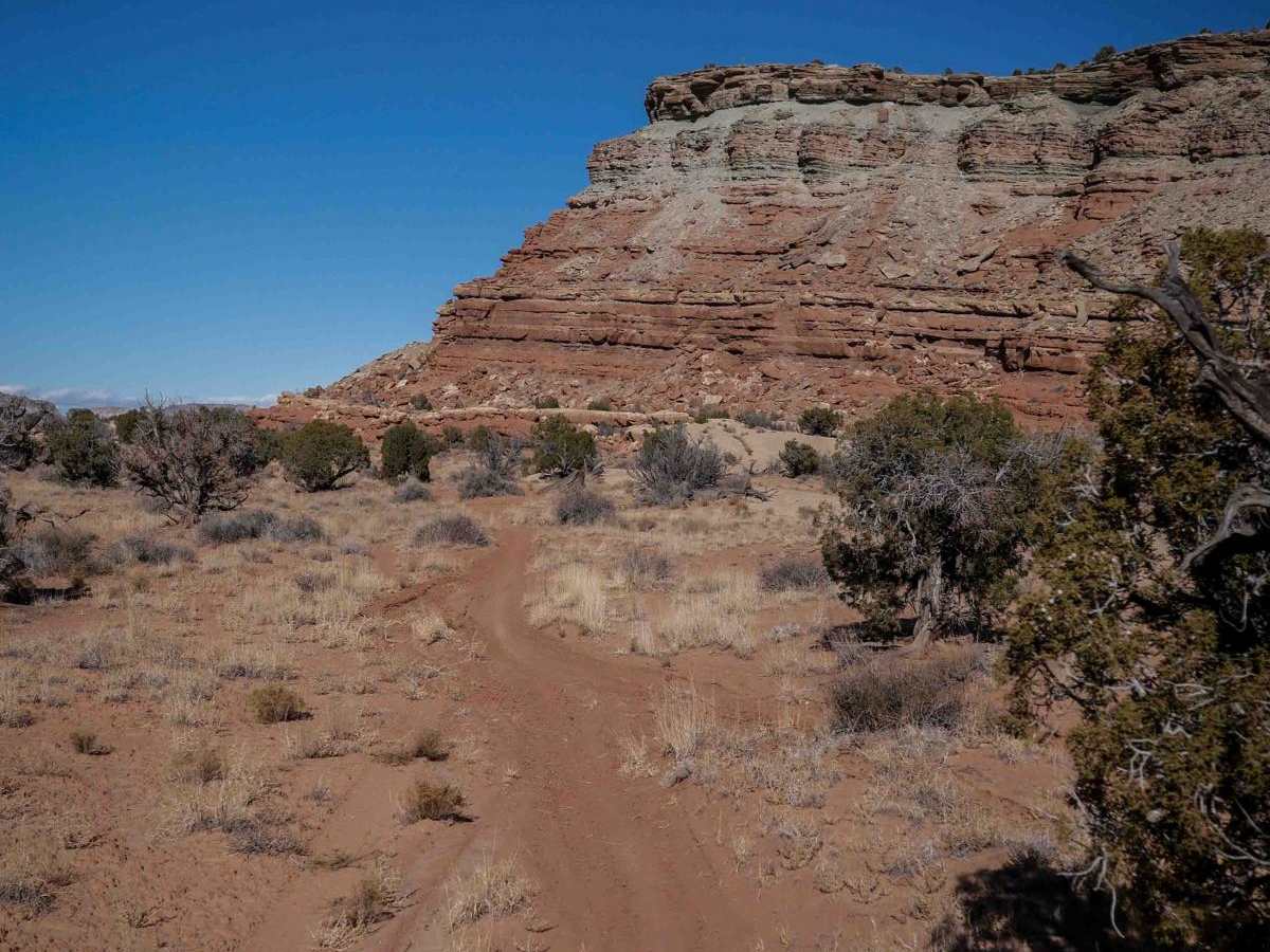
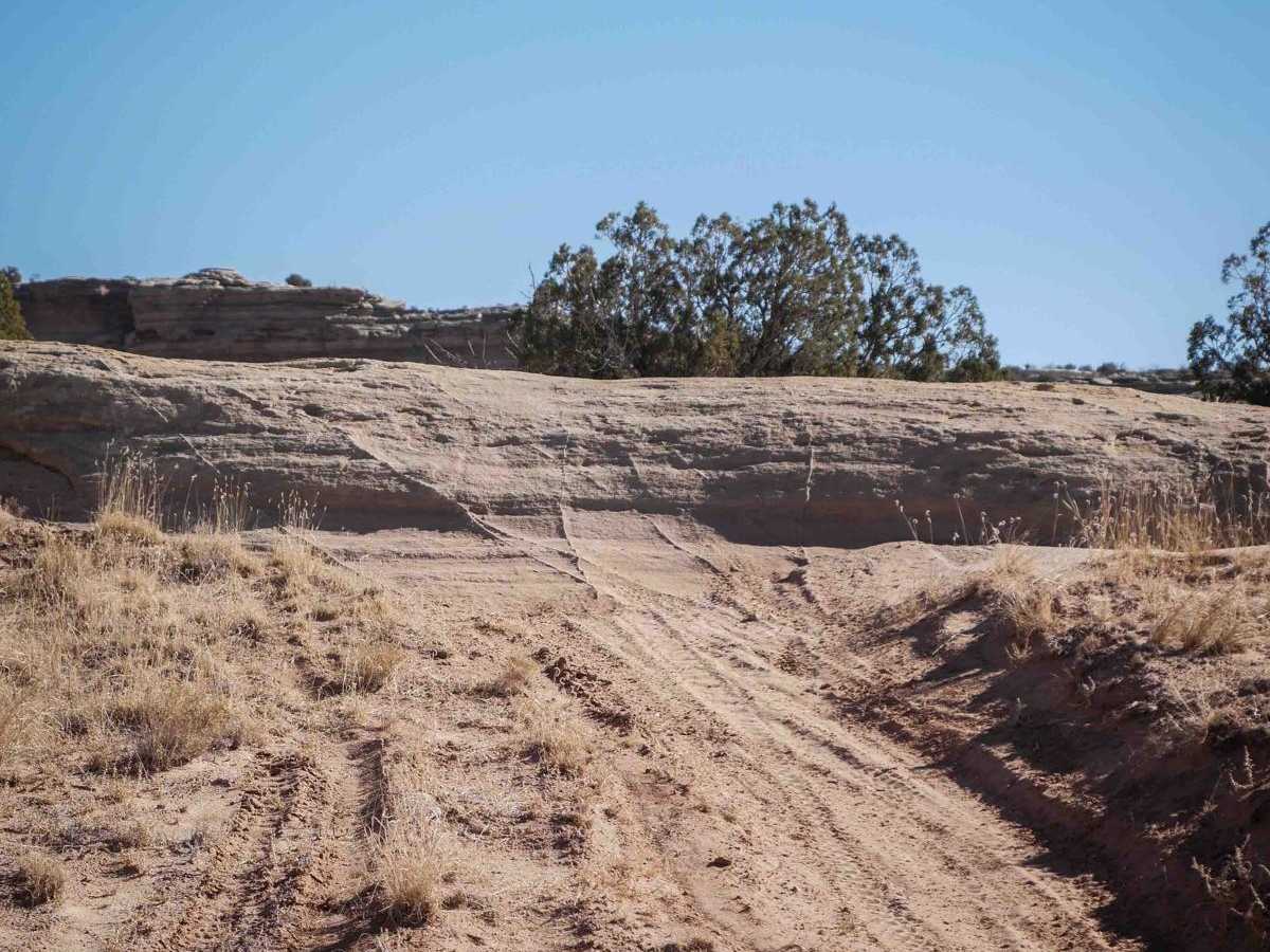
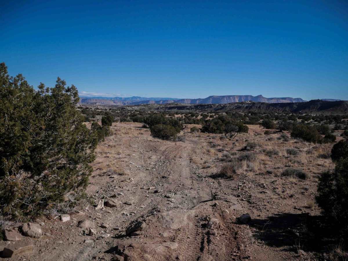
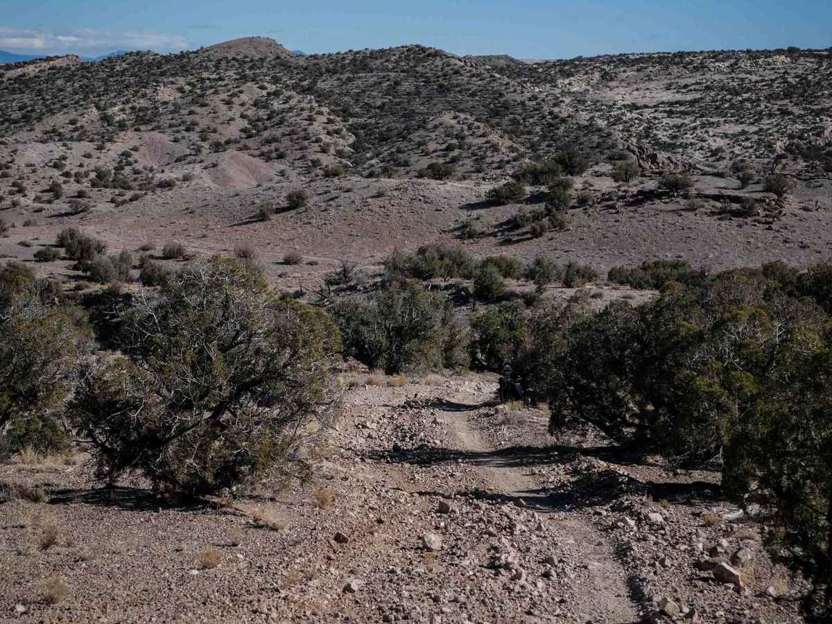
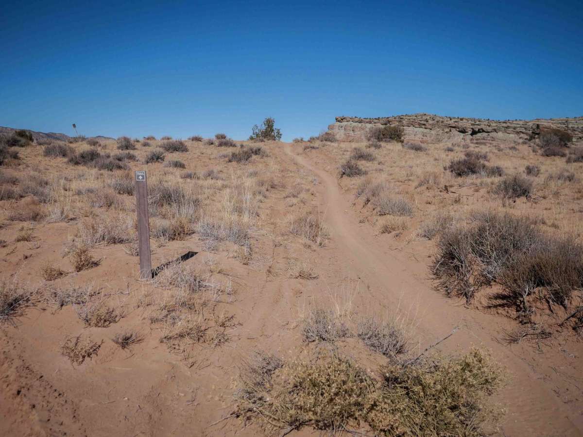
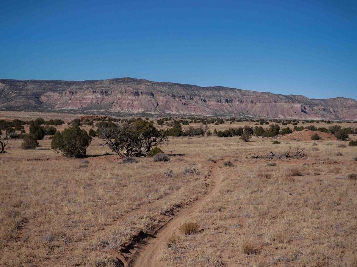
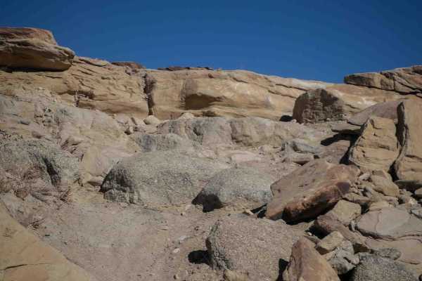
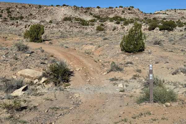
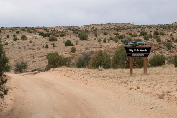
Trail Overview
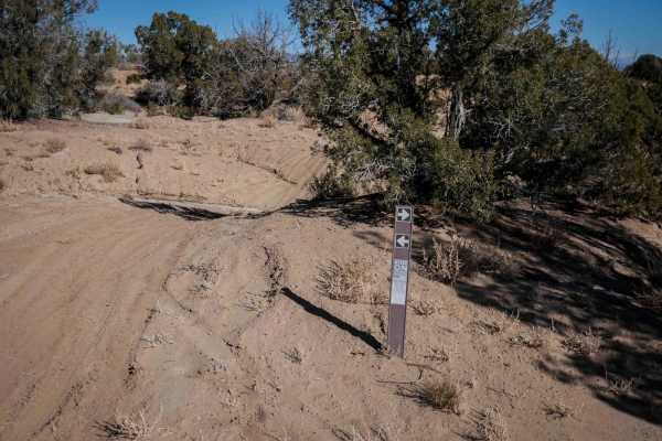
This 5-mile-long singletrack is mostly fast and sandy. It has whoops, dips, wash crossings, and small dirt hills, with scenic mesas in the distance. The trail is easy because it is very flat and straight, but you do need to watch out for sudden features, including one big slickrock layer with a bigger dropoff on the backside. There are lots of other animal trails and washes out here that look like intersections, but it's mostly easy to follow the dirt bike tracks. It goes over big slickrock layers, like a ramp, in the beginning on the south end. Before turning east, it goes through a pinch point and gate. After the gate, the terrain changes from sandy to more dirt with loose rocks, but it's still a wide path with whoops and ruts. It climbs out of the wash with a steeper hill with loose rocks and slab layers. The east side ends at a four-way intersection with two other singletracks.
Difficulty
This trail is easy difficulty because it is mostly fast and flowy, but still has some features that you need to check up for, like one big rock layer with a dropoff off the back side, big whoops and deep wash crossings, plus a steep loose climb.