Trail Overview
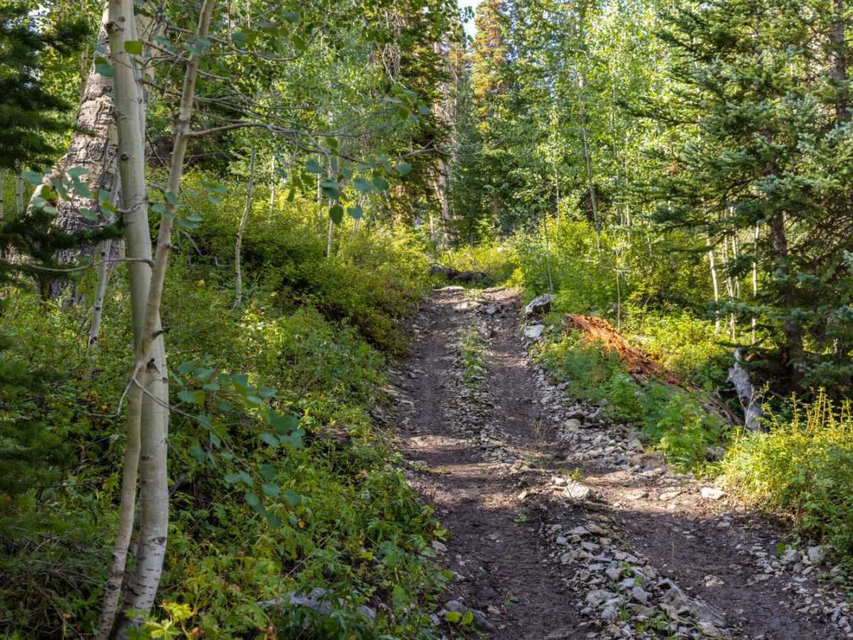
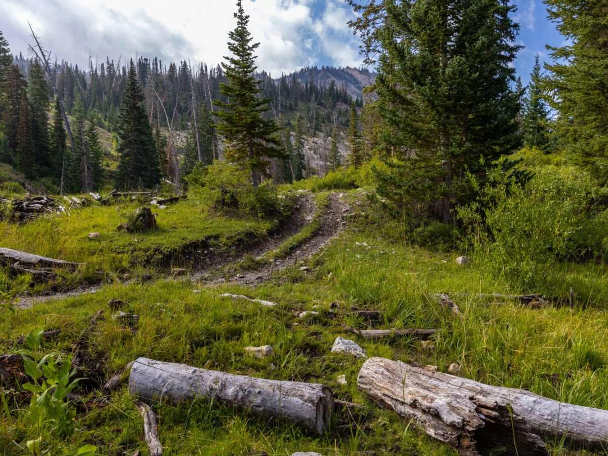
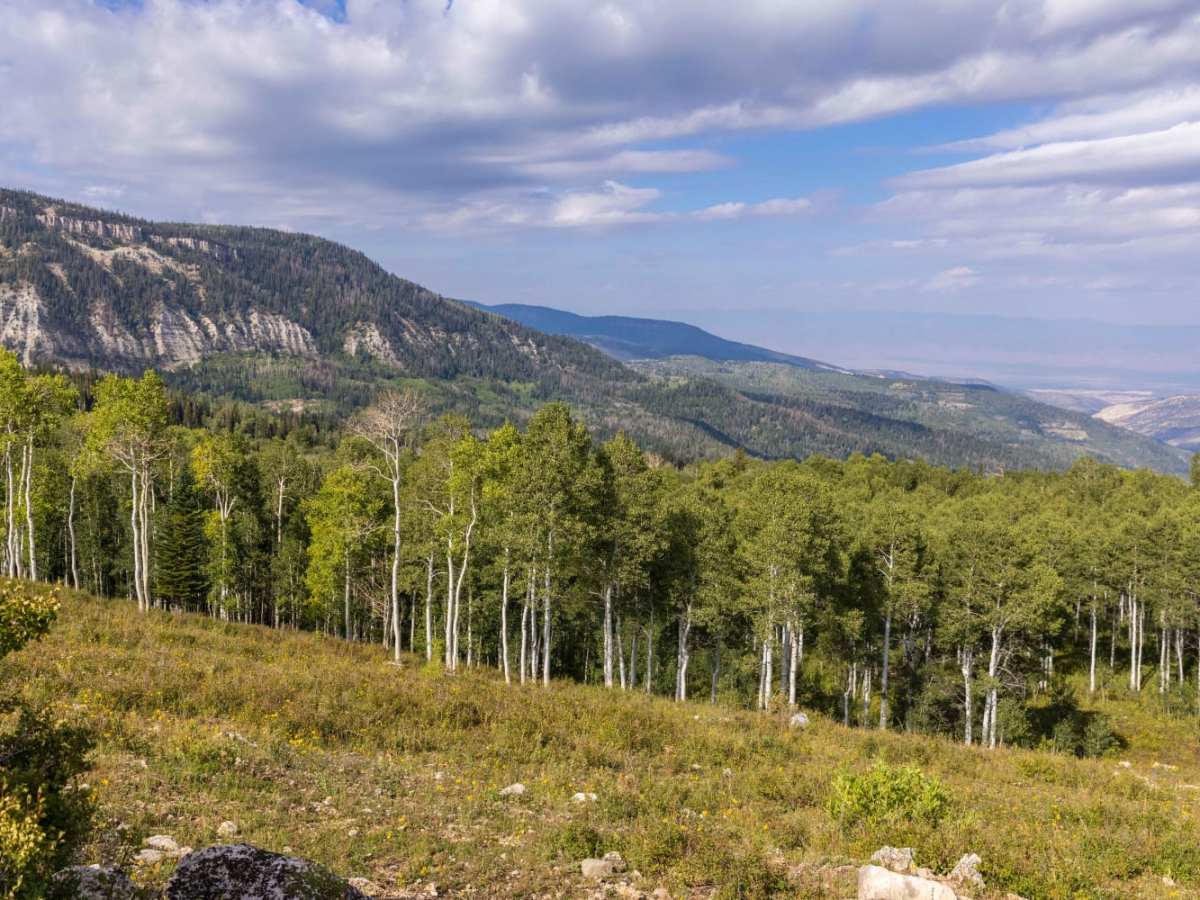
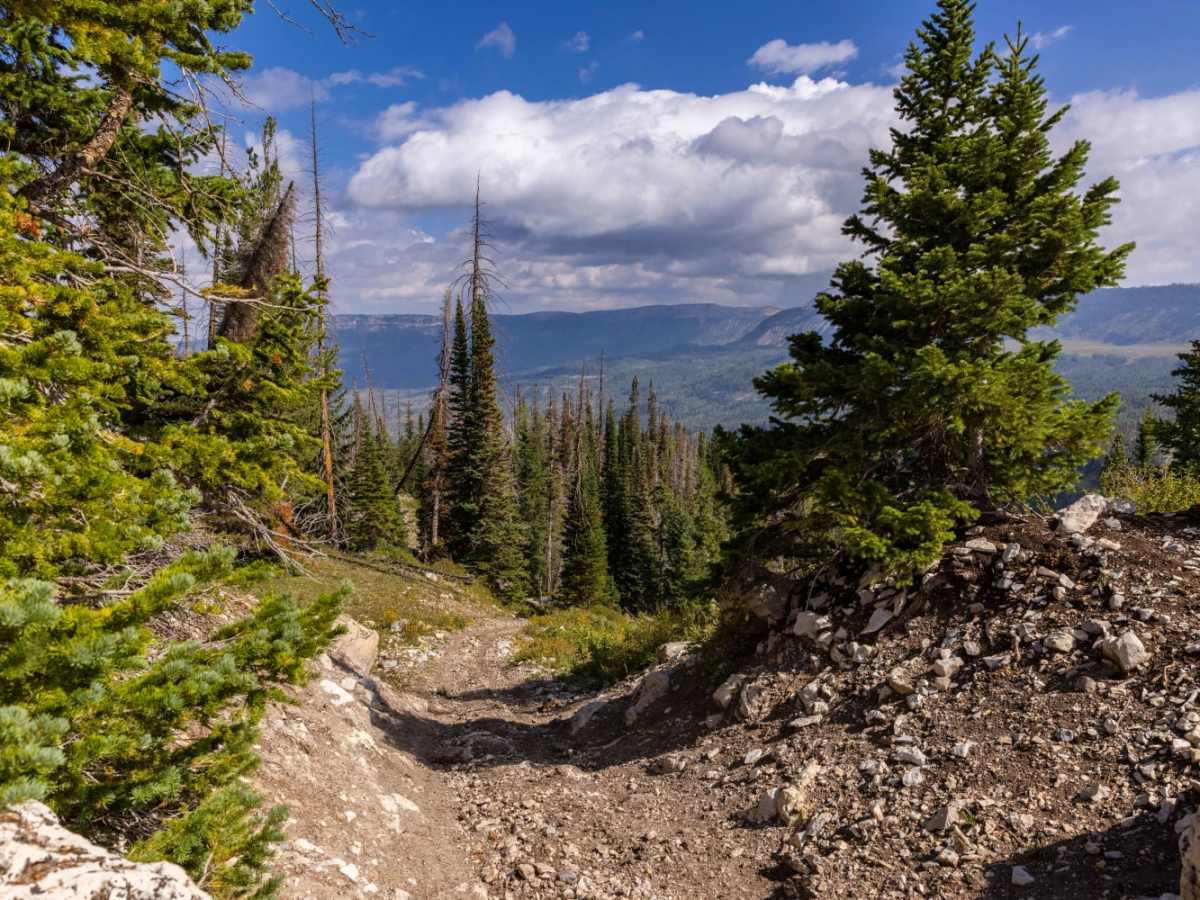
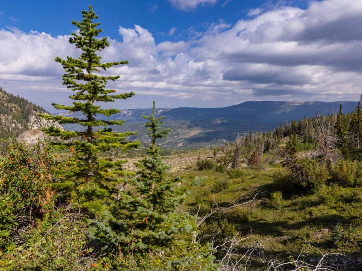
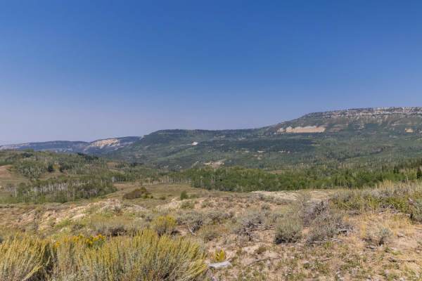
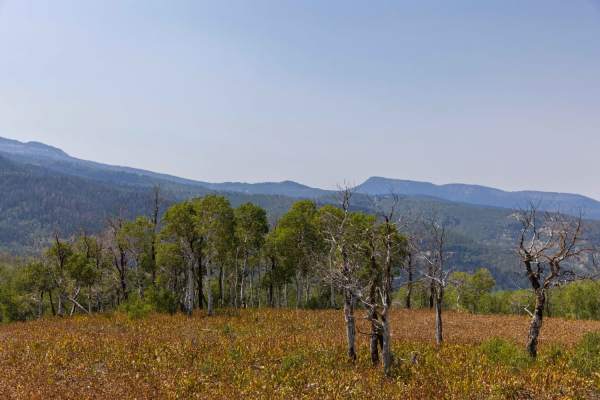
Step Flat Trail is an adventurous, unmaintained climb through the scenic Wasatch Plateau, perfect for intermediate offroaders looking to test their skills and vehicle capability. Connecting Skyline Drive to the Shingle Mill Reservoir area, this trail features highly uneven terrain with deep ruts, off-camber sections, and loose rocks that demand driver focus. Vehicles navigating this path will encounter steep, short grades and minor washouts that require careful tire placement. High-clearance four-wheel-drive vehicles, UTVs, and SxSs with capable suspension and durable tires are highly recommended to safely negotiate the rocky climbs.
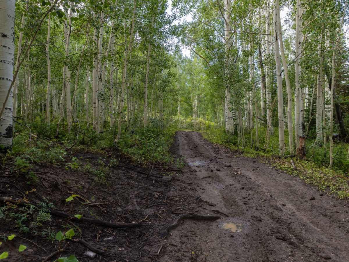
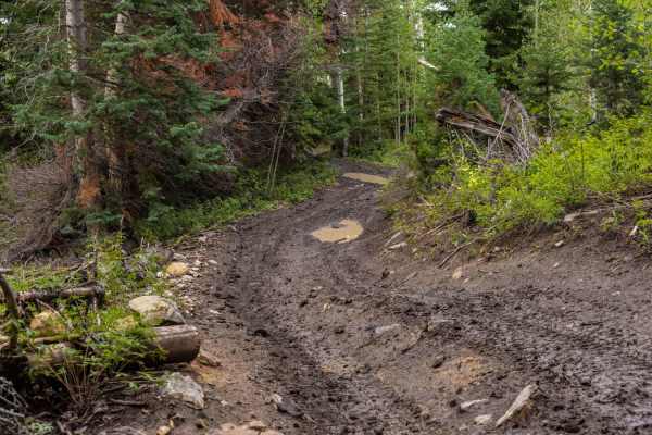
Due to the lack of regular maintenance, trail conditions can deteriorate rapidly during inclement weather, turning dirt sections into slick, muddy hazards and significantly increasing the difficulty. Several natural springs dot the surrounding landscape, adding to the scenic appeal while occasionally contributing to damp trail conditions and soil erosion. Travelers should prepare for obstacles up to 1.5 feet in size, including rock ledges and deep washouts, making self-recovery gear a wise addition to any rig. The route provides excellent connectivity to the broader network of dirt trails across the plateau, making it a great addition to a full day of backcountry exploration.
Difficulty
Very rocky, rutted and off-camber trail with erosion, loose rocks, and obstacles up to 1.5 feet tall, including small washes across the trail and short, steep grades. Can be very slick and difficult in inclement weather.
Access Description
This trail is unmaintained and can become extremely slick, muddy, and impassable during wet weather or winter snow. Offroaders should check local Forest Service updates for the Manti-La Sal National Forest regarding seasonal closures and road conditions.