Trail Overview
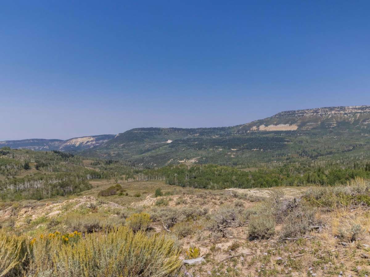
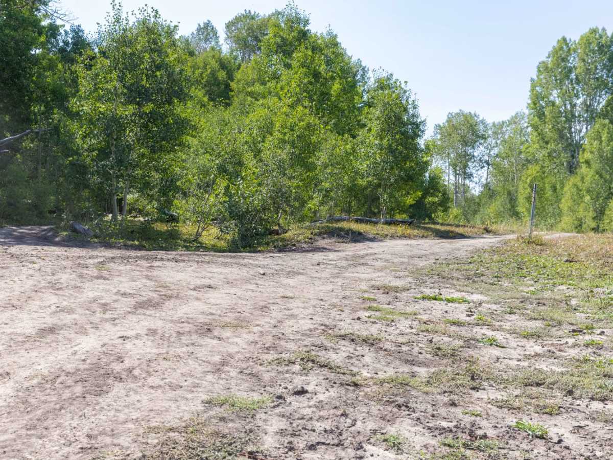
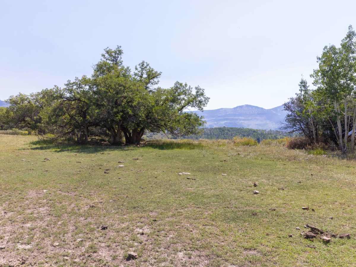
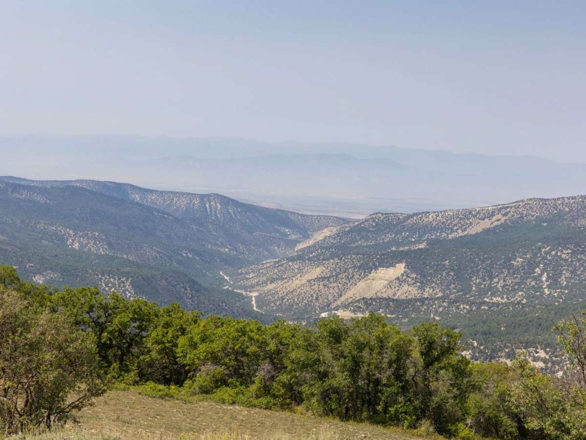
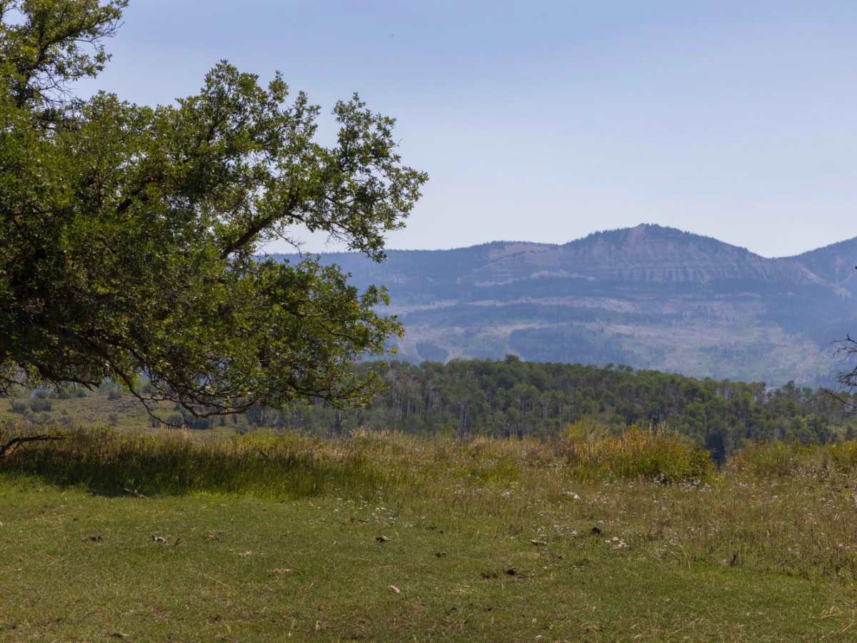
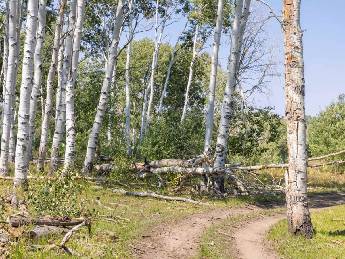
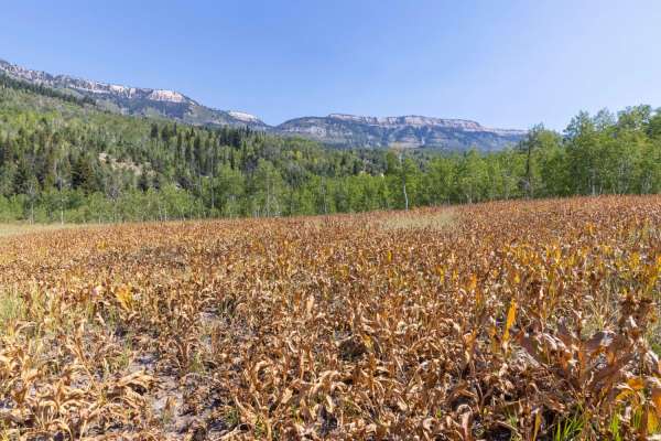
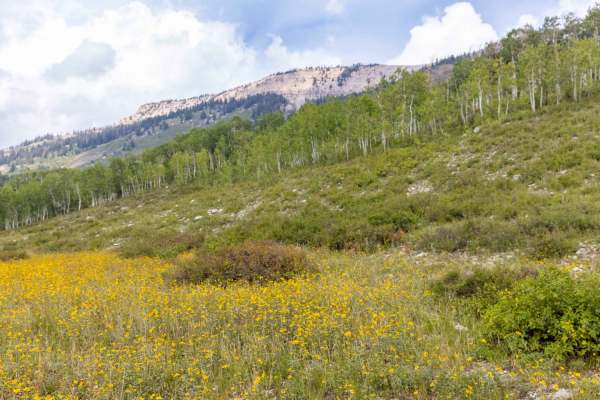
Middle Mountain Ridge is a scenic 2.8-mile trail in the Manti-La Sal National Forest, ideal for intermediate drivers looking for an immersive mountain drive with stunning views of the 12 Mile Fork area. Running east-west, this route reaches a maximum elevation of 9,018 feet and descends about 940 feet to its western terminus, where the trail becomes increasingly overgrown and transitions into a non-motorized hiking and equestrian path. Along the way, high-clearance four-wheel-drive vehicles and SxSs will navigate a mix of pine, aspen, and cedar forests, accented by seasonal wildflowers, brush, and grasses. The trail offers access to a lower portion of Cedar Ridge, providing expansive vistas overlooking the canyon below.
With a technical difficulty rating of 4, the terrain presents very rocky, rutted, and off-camber conditions, requiring careful tire placement over erosion gullies, loose rocks, washes, and exposed tree roots. Drivers should expect obstacles up to one foot tall, including small ledges, short but steep grades, and the potential for shallow water crossings depending on the season. This high-elevation route is typically accessible from late spring through autumn, with snow blocking passage during winter and early spring months. Wildlife viewing is excellent throughout the area, and travelers often spot elk, mule deer, wild turkeys, and occasionally black bears, especially during the early morning and late evening hours.
Difficulty
Very rocky, rutted and off-camber trail with erosion, loose rocks, washes, exposed tree roots and obstacles up to 1 foot tall, including ledges and short, steep grades. Potential for minimal water crossings.