Trail Overview
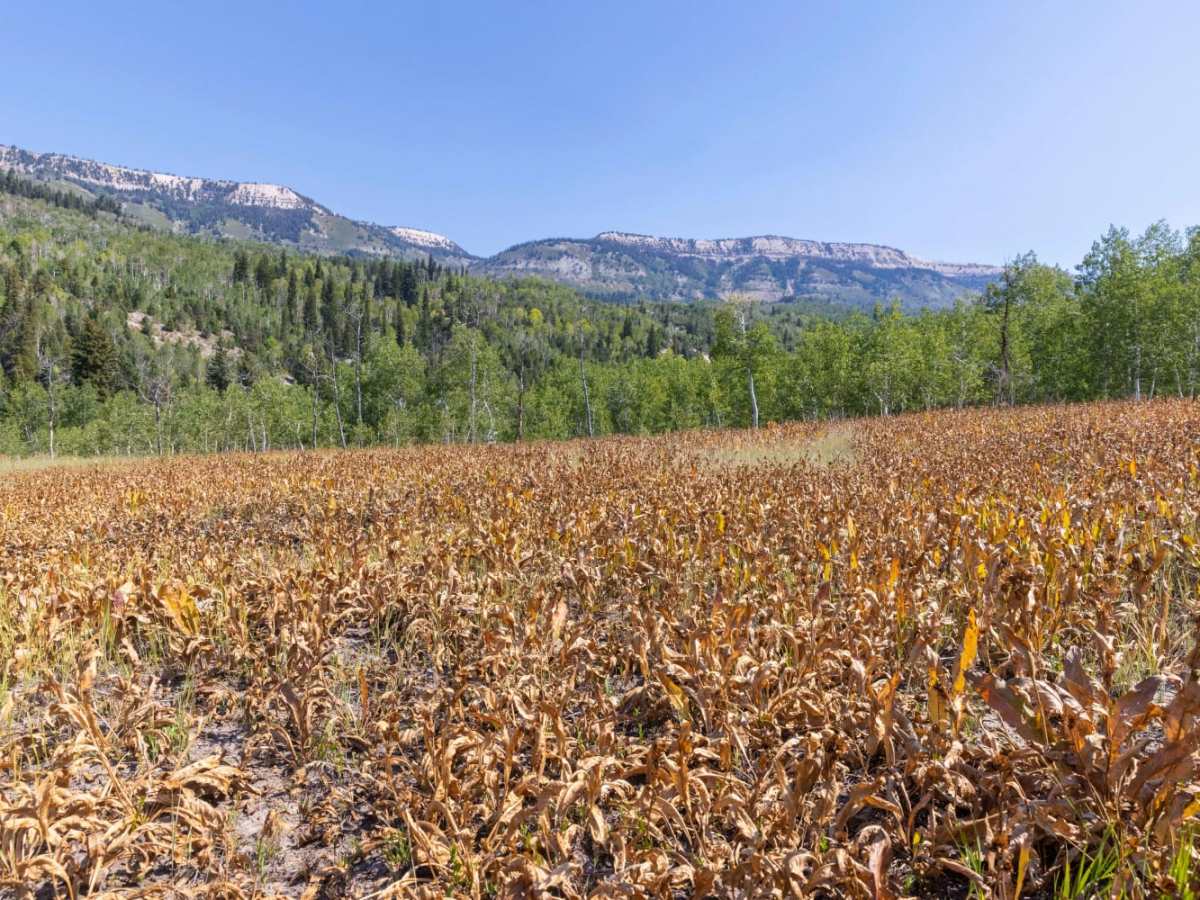
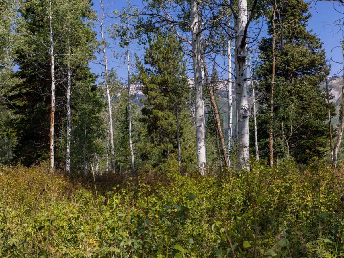
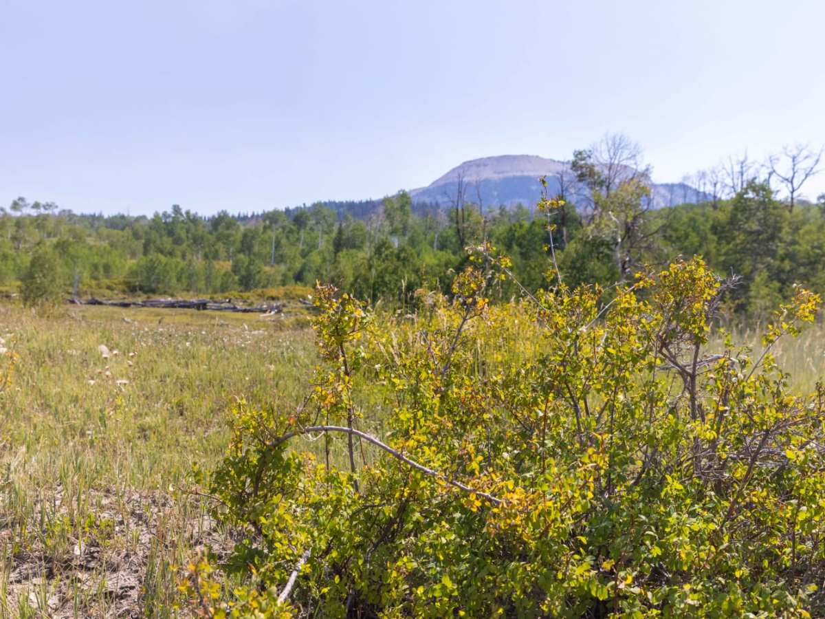
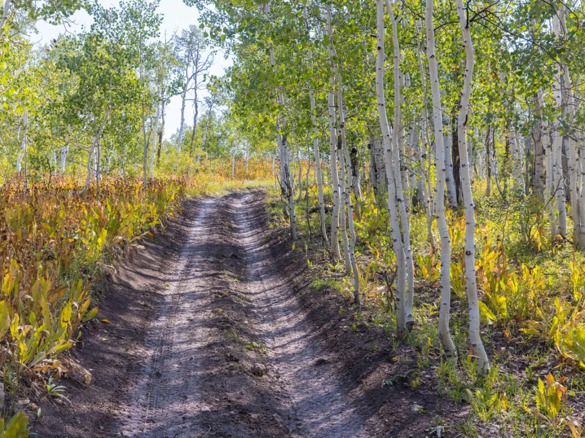
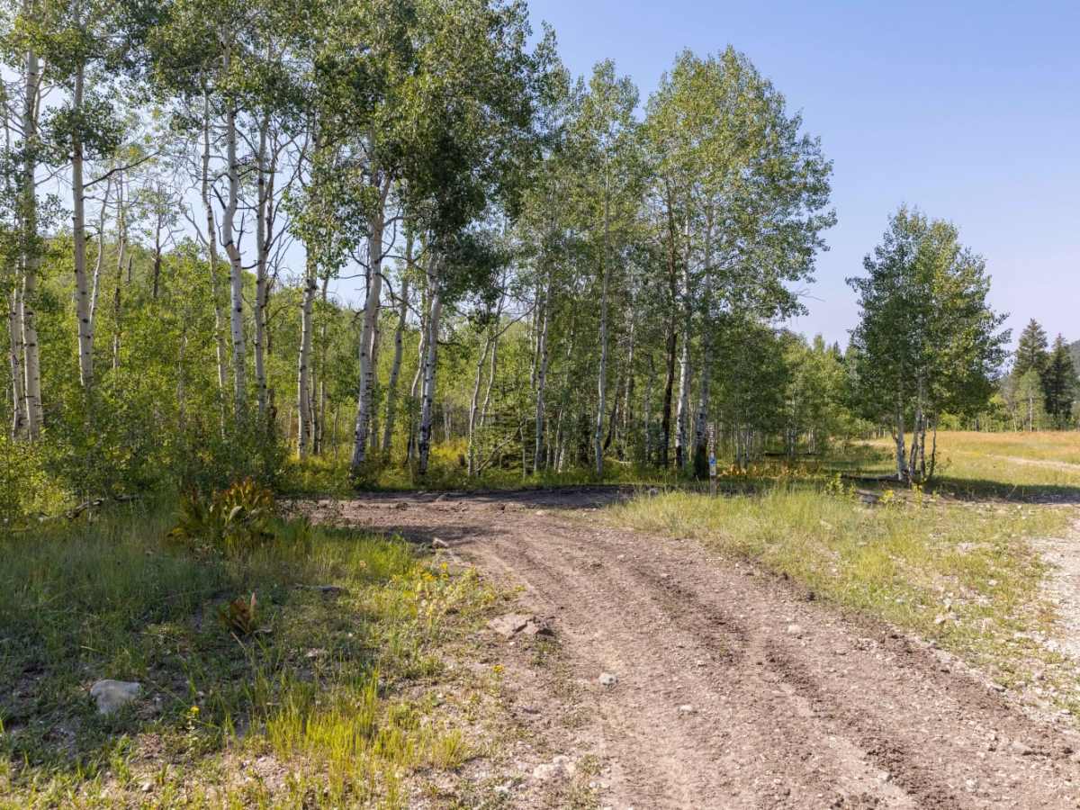
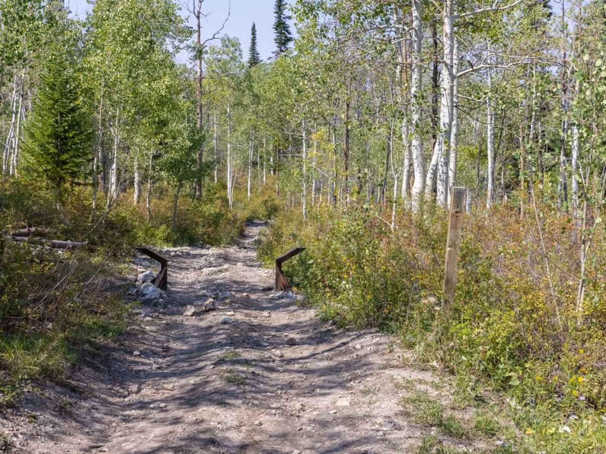
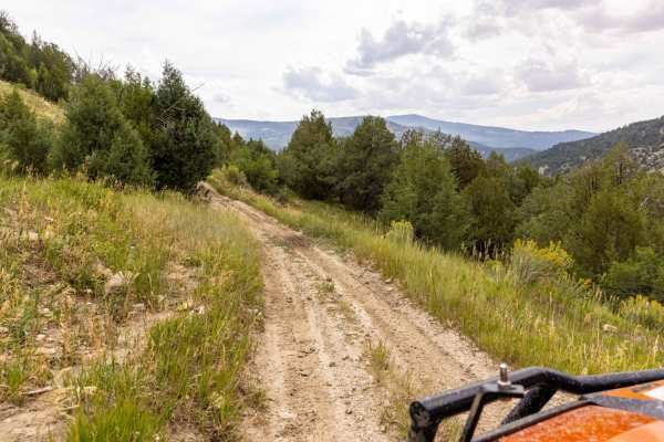
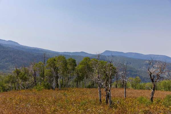
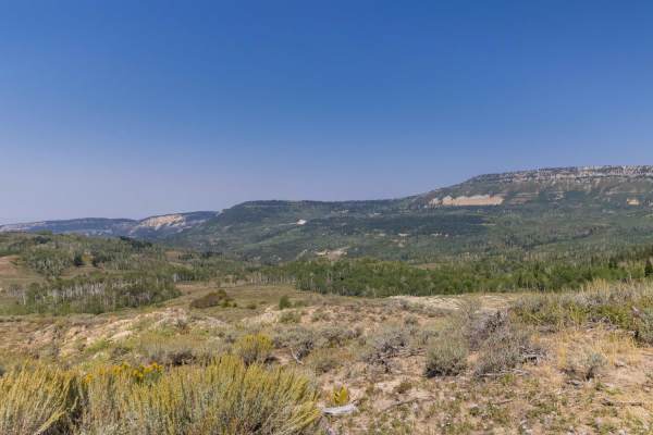
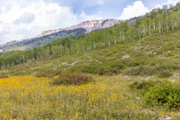
Pinchot to Cowboy Camp Trail is a scenic, 1.8-mile point-to-point route in the Manti-La Sal National Forest, making it an excellent short trek for drivers of high-clearance four-wheel-drive vehicles and SxSs. Winding through dense groves of aspens and pines, this trail climbs 1,028 feet from a starting elevation of 7,918 feet to its peak at 8,948 feet. The route features stunning displays of wildflowers, brush, and mountain grasses during the summer months, with frequent opportunities to spot local wildlife such as elk, mule deer, wild turkeys, and black bears. Offroaders will encounter a dirt and rocky surface with a technical rating of 3, presenting mild challenges including ruts, off-camber sections, and minor erosion.
Navigating this forest route requires careful tire placement over exposed tree roots, loose rocks, and obstacles up to 8 inches in height, such as small ledges and short, steep grades. Minimal water crossings may be present depending on the season and recent rainfall, adding to the trail's moderate character. Ideal for a quick mountain getaway or as a connecting route within the larger trail network, the route is typically accessible from late spring through fall after the winter snowpack melts. Dispersed camping spots and intersecting forest service roads can be found nearby, offering further opportunities to extend the adventure in this high-altitude Utah wilderness.
Difficulty
Rocky, rutted and off-camber trail with erosion, loose rocks, washes, exposed tree roots and obstacles up to 8 inches tall, including ledges and short, steep grades. Potential for minimal water crossings.