Trail Overview
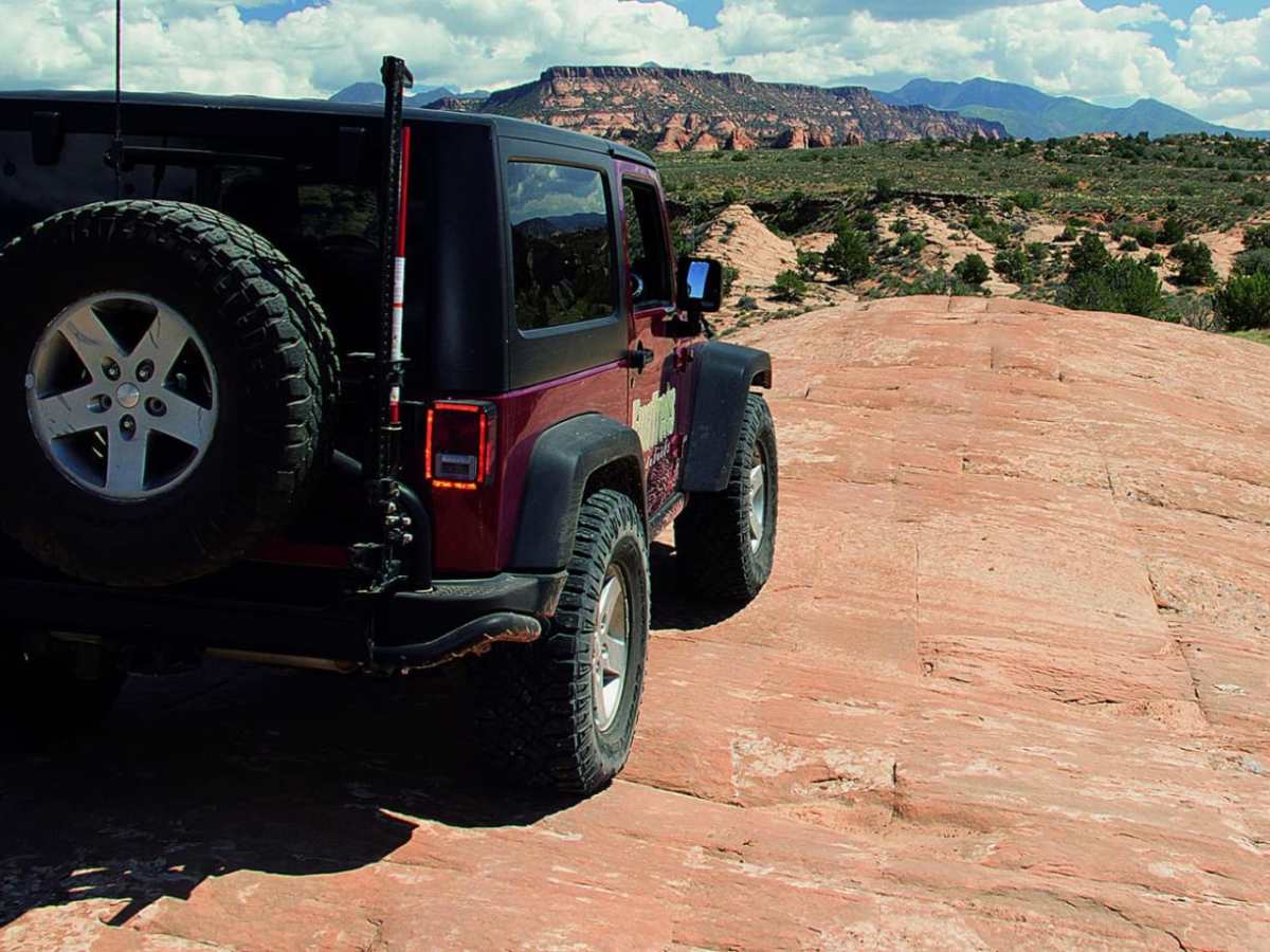
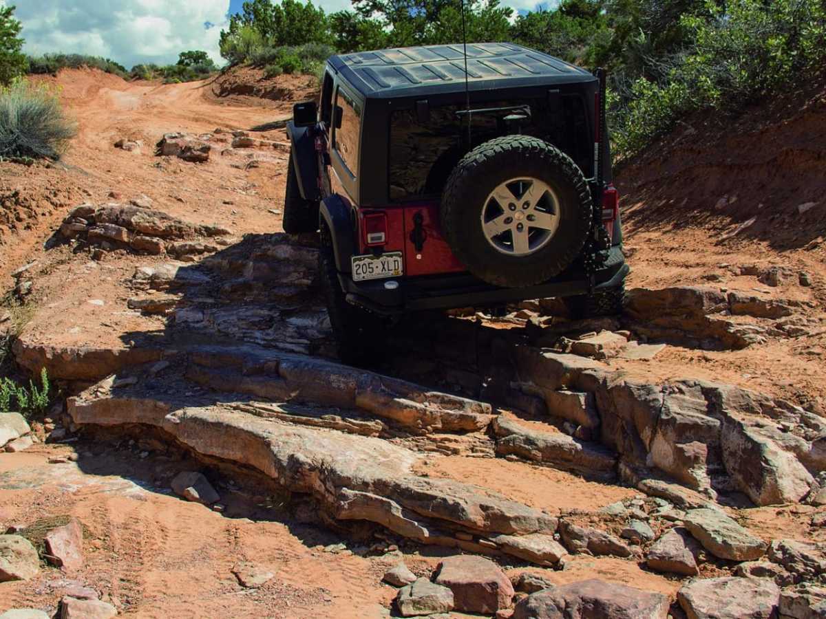
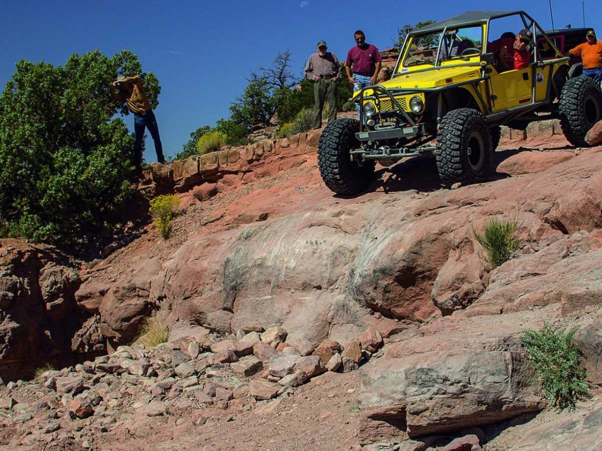
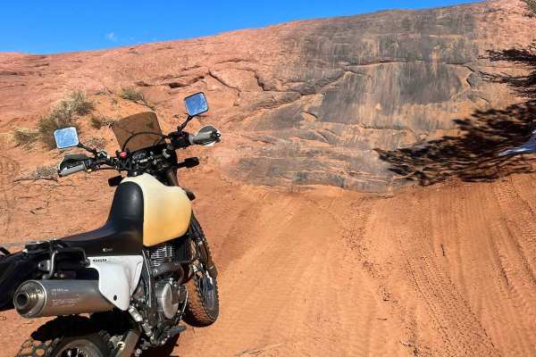
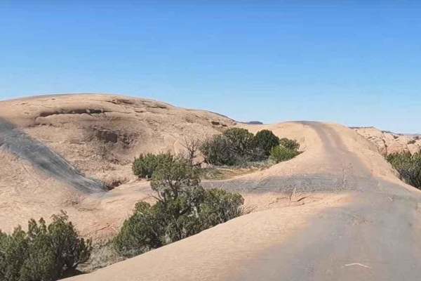
Steel Bender Loop Route is a challenging 12.1-mile trail near Moab, Utah, designed for experienced offroaders seeking a test of technical driving skills against steep sandstone ledges and rugged canyon terrain. Offering a demanding technical rating of 7, this route features a cumulative elevation gain of over 1,600 feet, starting at an elevation of 4,654 feet and climbing to a peak of 5,782 feet. High-clearance four-wheel-drive vehicles with rear lockers and oversized tires are highly recommended, as stock sport utility vehicles will struggle on the sharp, bumper-thumping ledges. The most difficult obstacles are concentrated on the descent before the second waypoint, where steep switchbacks and slickrock steps demand precise wheel placement and a capable spotter. While the main loop presents intense obstacles that can challenge even modified rigs, the scenic outer loop offers a slightly more forgiving, yet still technical, driving experience.
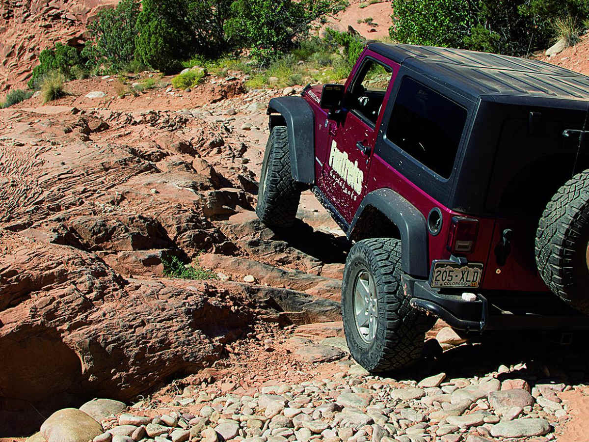
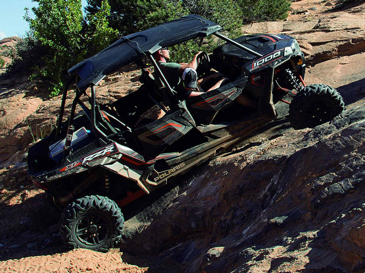
Navigating this trail requires a keen awareness of local land management, as the route is closely bordered by a sensitive Wilderness Study Area where off-trail travel is strictly prohibited. Drivers of SxSs and ATVs should exercise extreme caution on the steep downhill switchbacks, as these tight, loose descents can easily challenge shorter wheelbases. The primary surface consists of a mix of slickrock, loose rock, and dirt, providing excellent traction on dry days but becoming highly unpredictable when wet. To reach the trailhead, travel three miles south of town on Highway 191, turn left onto Spanish Trail Road, proceed straight through the roundabout, and climb Westwater Drive for about a mile before turning right onto the marked trail located just before the private subdivision gate. Be sure to avoid using any illegal bypasses along the route to protect the surrounding environment and keep this historic desert trail open for future offroaders.