Porcupine Rim

Total Miles 21.4
Technical Rating
5 Moderate
Best Time Spring, Summer, Fall, Winter
Trail Type High-Clearance 4x4 Trail
Accessible By
Open Trail Map

Trail Overview

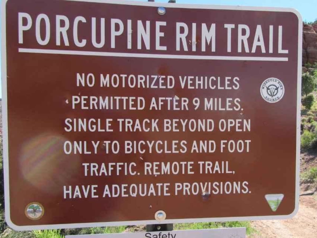
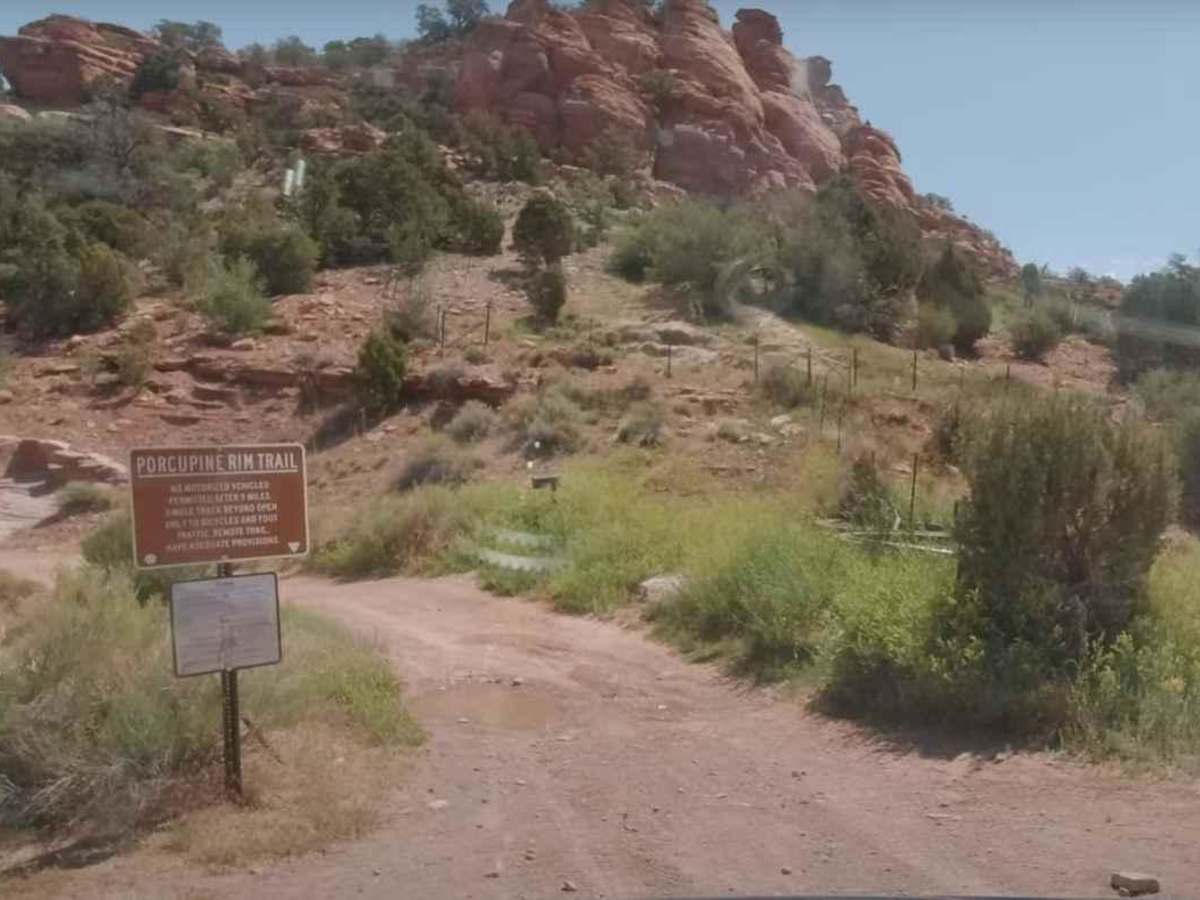
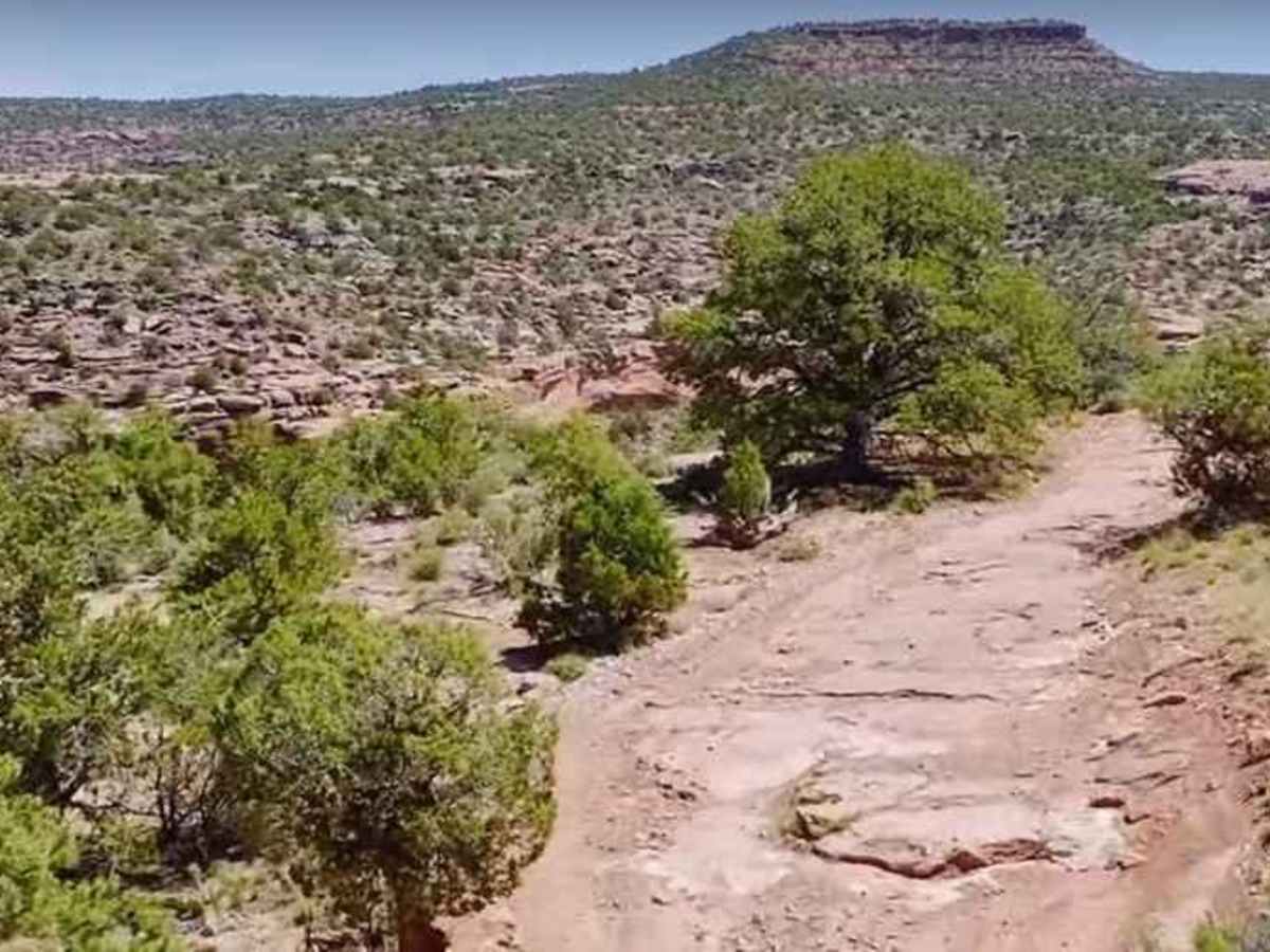
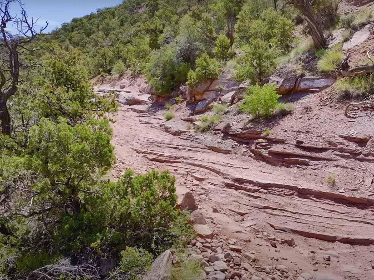
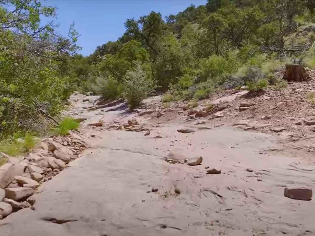
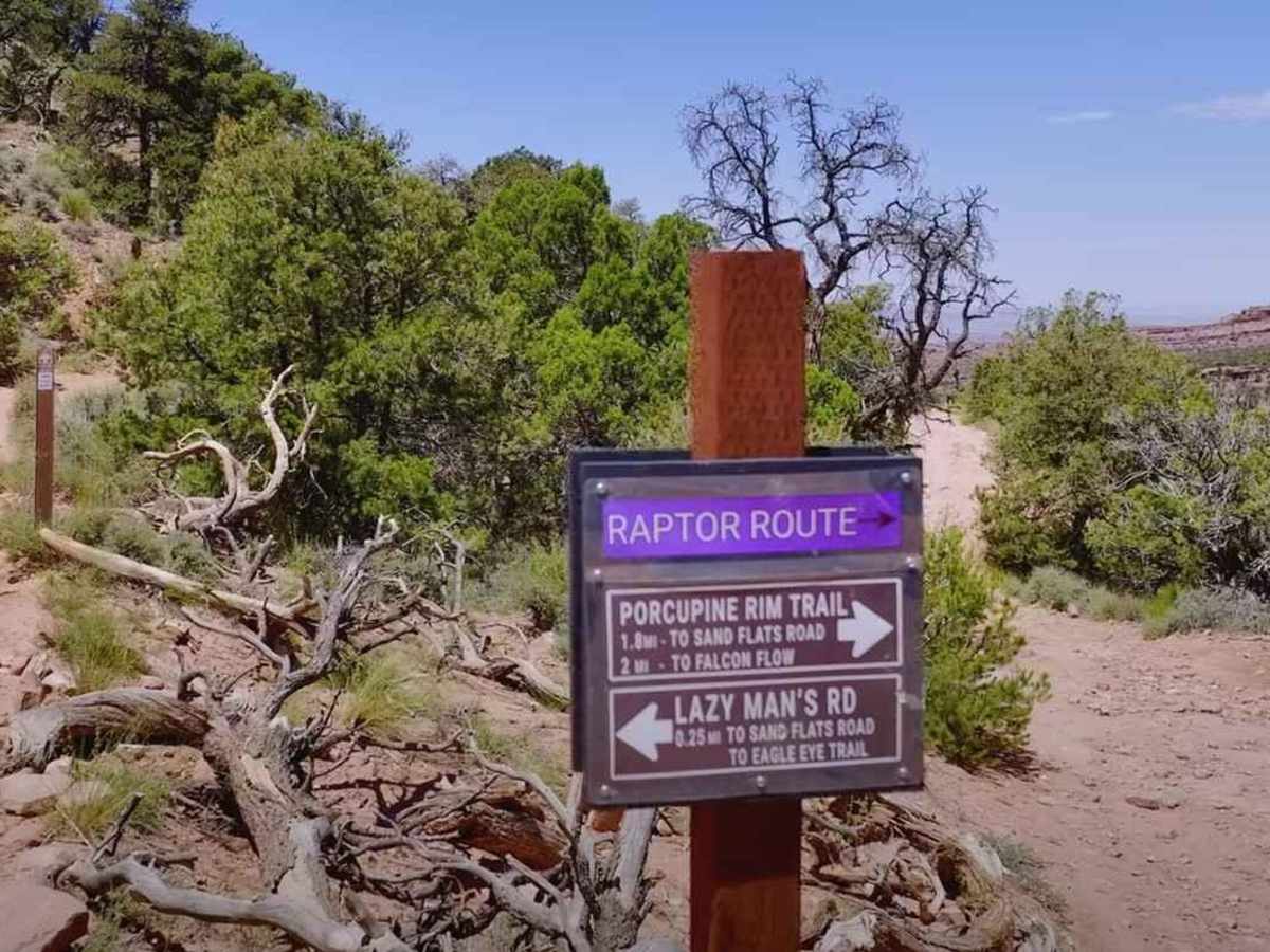
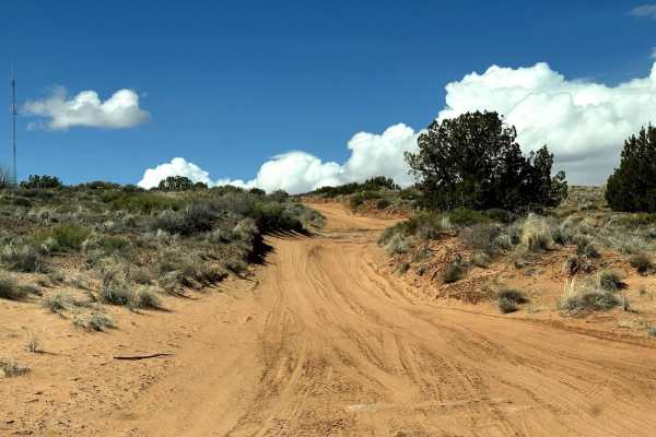
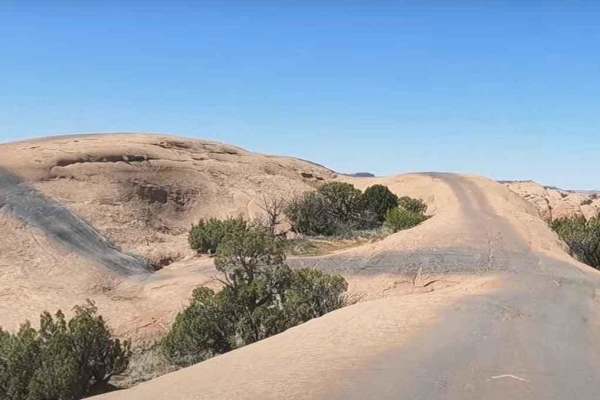
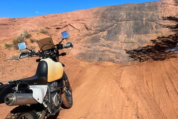
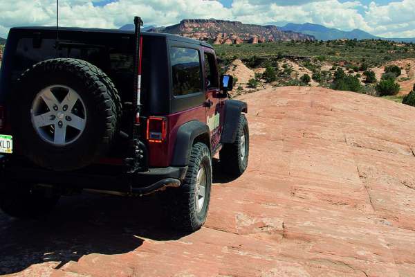
Porcupine Rim is a 21.4-mile loop trail rated 5 of 10 located in Grand County, Utah. Porcupine Rim trail is located in the Sand Flats Recreation Area which is fee entry area (see image for fee schedule). A National Parks Access Pass is also valid for entry. The Porcupine Rim trail starts off the graded Sand Flats Road about 9.5 miles from Moab before finally dropping to a ledge above Negro Bill Canyon. This gem in the Sand Flats area might not be as popular as others but running it is well worth the time and effort, if only for the scenery alone. The vistas from the top of the rim are breathtaking and we'll guarantee you'll be glad you made the trip. The route mostly traces a narrow terrace on the upper slope of the canyon and drops down to a small drainage before starting the rocky ascent to the top of the rim. Much of the terrain is bumpy and this will test your endurance. However, other than the rocky outcrops and ledges that you have to look out for, this trail has no major challenges. This area has featured in several movies and TV shows over the years, proving just how magnificent the scenery is. The Porcupine Rim trail offers incredible views into Negro Bill and Rill canyons as well as panoramic views of the La Sal Mountains. Castle Valley stretches out 1500ft below and some of the prominent buttes such as Perriott Mesa, Priest & Nuns, and Round Mountain. The trail surface consists of sandy dirt, loose sand, and slickrock. However, you'll mostly have to deal with bedrock especially in protruding ledges and knobs as you head to the rim. Since the area has a high elevation, there's often residual mud and snow in the spring. Cell phone service is intermittent and the nearest services are in Moab.

Photos of Porcupine Rim

Difficulty

Trail surfaces are rutted, rocky and sandy with steps not exceeding 24", with considerable slickrock surfaces. Water not exceeding 12" with some mud possible. Good ground clearance and driving skills are needed. 4WD, tall tires (33" plus) and traction adding devices (locker, limited slip) are required. Above average driving skills are desirable. A winch would be a plus. Enhanced suspension travel and good ground clearance are also required.

Technical Rating

5

Status Reports

Add Status Report
David Harmer
Aug 31, 2025
Open
Pretty gnarly trail, definitely more like a 6 maybe even 7. I completed the entire trail on 33s. Only had to engage my rear locker once. Got some good use out of my skids.
Paul @MyDirtyHummer
Jul 06, 2025
Open
ran this in my 2008 Hummer H2 stock height front locker. I divided this trail up into three parts, I've run the first two have not run the third part yet. first part was from roughly mile marker 4 near fins and things and came out at mile marker 7 on Sand flats, second part was going in at mile marker 7 and coming out at lazy Man's road connector from porcupine back to sands flats. the trail is awesome. myself and my passenger or the only ones out there. there is some very fun technical stuff. a few spots it definitely helps to have a spotter. there are a few epic viewpoints. remember this trail does not see very many people on it so be prepared for self-recovery and my advice is to make sure and carry satellite communications of some sort because cell service is virtually non-existent. this is one of my favorite trails.
Robert Lytle
Jun 01, 2025
Open
For sure a few tricky spots! Had to use the front locker a few times. Comparable to hells but with more mandatory ledges. 2 specifically took me a few tries to get up. Zero ppl out there and worth the trip. VERY bumpy almost the entire time. Idk if I would wanna do it in a jeep but with the side by side it made it not as bad.
Andrew Mair
Nov 27, 2024
Open
Very wet and slippery. I made it to some rather tall steps and turned around. I wouldve gone further if there was some other vehicle (more capable) with me. The fog and snow kept us from seeing the view, but I imagine it was wonderful.
Andrew Mair
Nov 26, 2024
Open
Lots of slick mud and shelves. Fun trail with a friend. Had to turn around 8-10 miles from the end, didn’t have a partner to pull me out in case (no lockers or winch plus slick)… great variety on this trail. Highly recommend for intermediate drivers.
Noah Thomas
Nov 09, 2024
Open
Did the trail today took about 4hrs. Definitely want a spotter with you. A couple of very tight ledges with deadly drops that need to be spotted through. The views are breathtaking just be prepared for a some stressful areas on the trail. I’m running a 94 ford explorer with sas on 37s with lockers
Hayley Almes
Sep 21, 2024
Open
We took the Porcupine 4x4 trail going from east to west. Definitely more of a 6 or 7 if you are in a SUV. We ran into multiple obstacles where a spotter was necessary. There was one obstacle where all of our rigs were 3 wheeling. You can roll over here if you are not careful. A stock height Bronco on 33s in our group made it through with careful line selection, although the skid plates got a lot of use and the exhaust smacked the rocks a few times. We did this trail in an FJ cruiser with 35s and a 3” lift and it handled it just fine.
Bryan Dillehay
Jul 03, 2024
Open
Way tougher than the 5 rating. Easy 6 or 7. I’m on 35’s and got caught up on a few rocks. Needed lockers a several times. I’d want to be on 37s if I run this one again. Maybe easier with a 2 door jeep or other short wheelbase rig.

Porcupine Rim Trail can be accessed by the following ride types:

  • Single Track
  • 50 Inch
  • 60 Inch
  • High Clearance

Porcupine Rim Map

The onX Offroad Difference

onX Offroad combines trail photos, descriptions, difficulty ratings, width restrictions, seasonality, and more in a user-friendly interface. Available on all devices, with offline access and full compatibility with CarPlay and Android Auto. Discover what you're missing today!

Open Trail Map