Starvation Point

Total Miles3.4
Technical Rating
4Moderate
Best TimeFall, Summer, Spring
Trail TypeFull-Width Road
Accessible By
Open Trail Map

Trail Overview

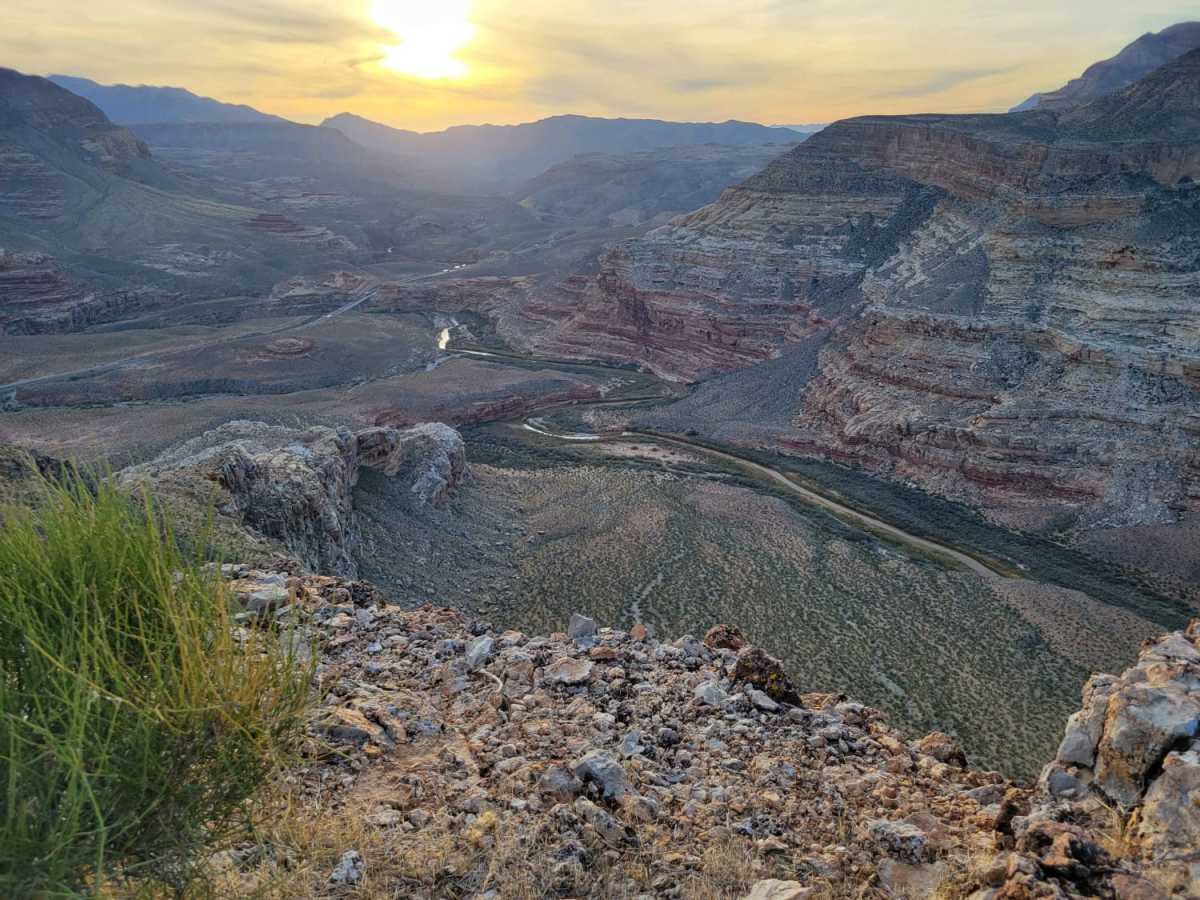
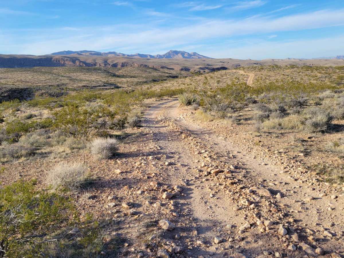
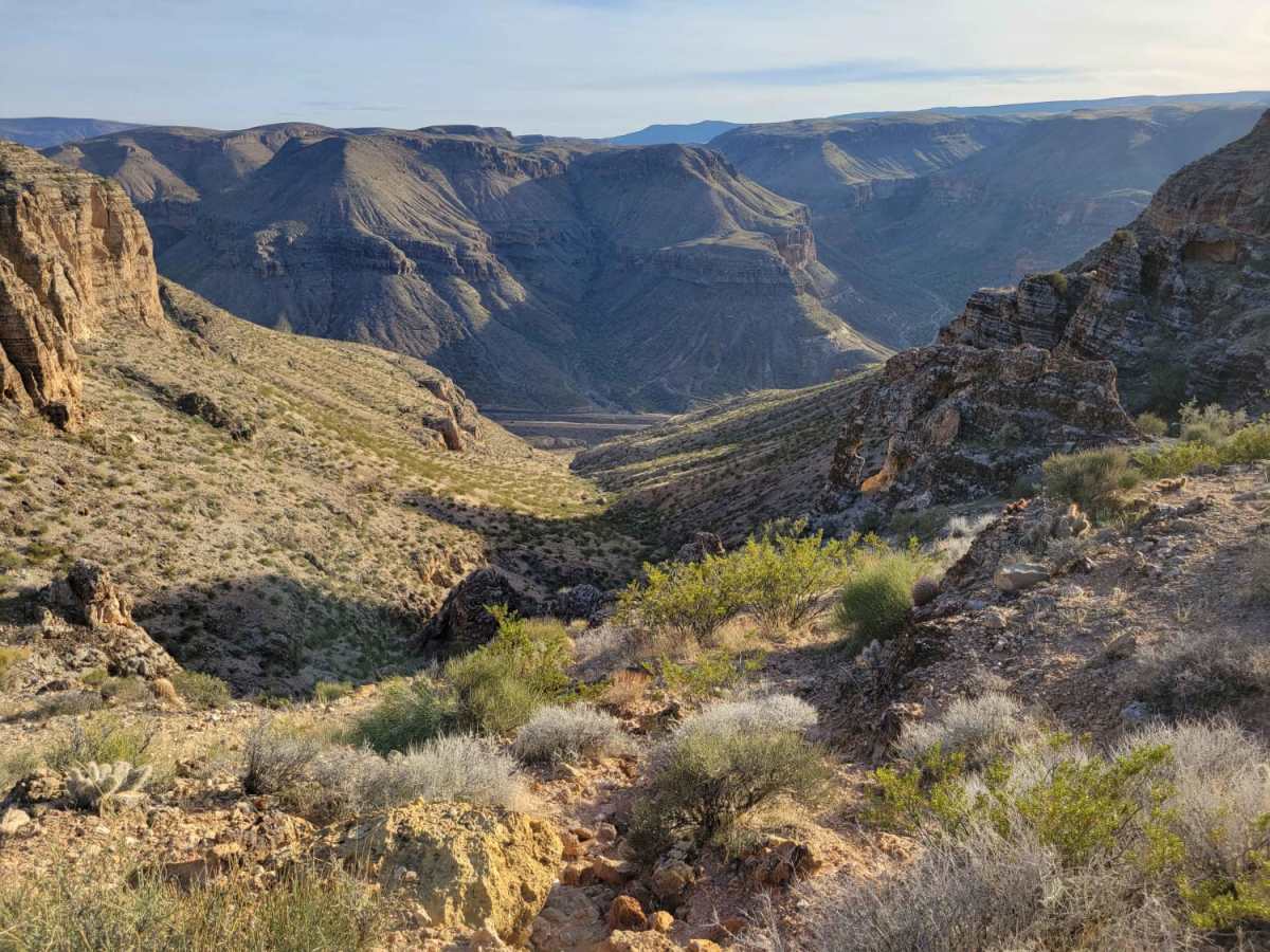
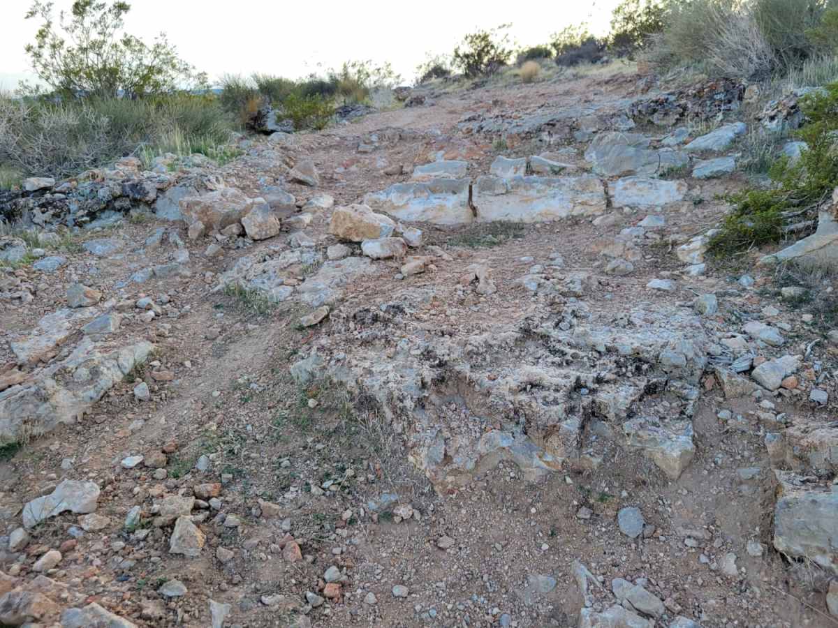
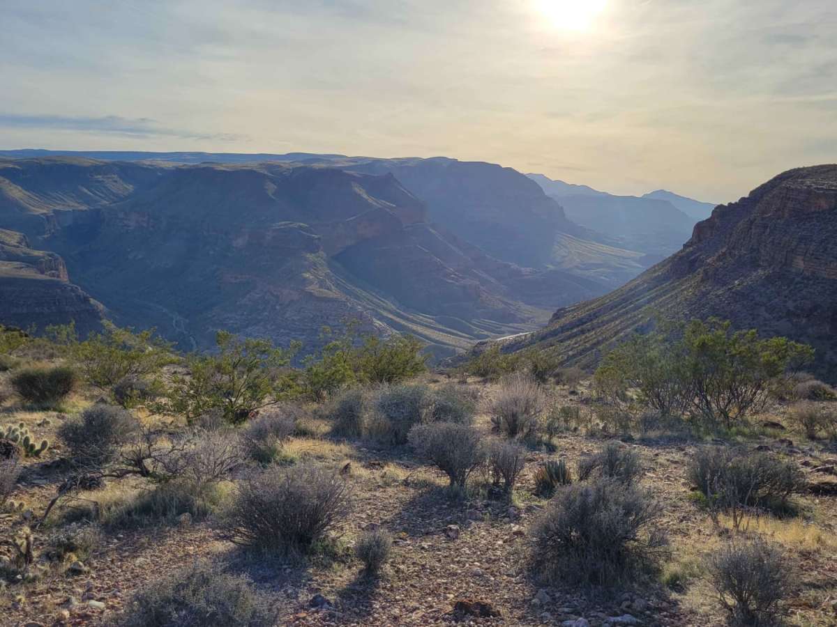
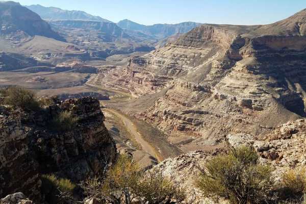
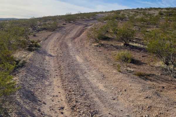
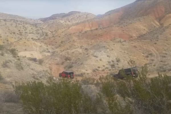
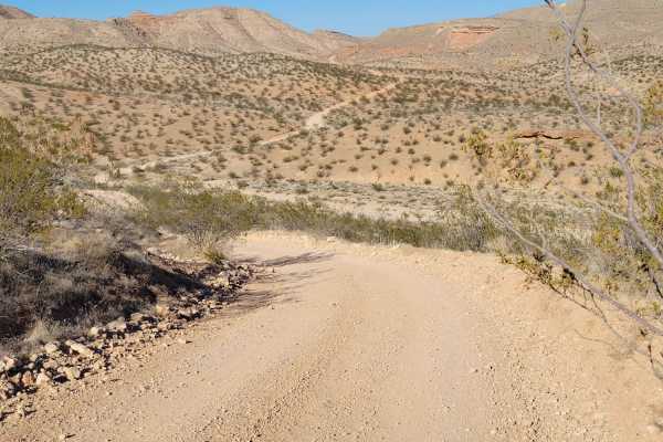
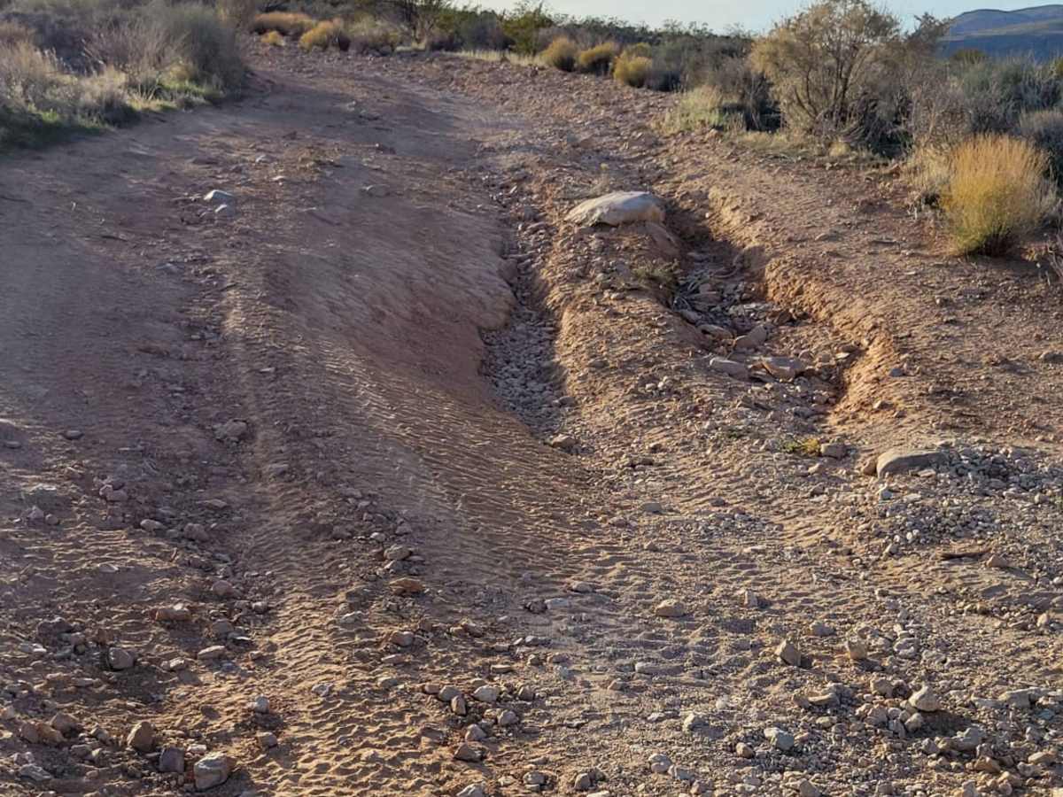
Starvation Point is a scenic 3.4-mile out-and-back trail in northwestern Arizona that offers four-wheel-drive enthusiasts a moderately challenging drive to a dramatic overlook above the Virgin River Gorge. Rated as a technical difficulty of 4, the route climbs 715 feet from an elevation of 3,053 feet to a high point of 3,584 feet. High-clearance four-wheel-drive vehicles, SxSs, and dirt bikes will navigate a primarily unpaved, rocky surface defined by persistent loose rocks, small rocky ledges, and steep grades. Along the way, the trail winds past the unique formation of Elephant Arch, providing a scenic backdrop of classic desert geology before reaching the edge of the plateau. The trail terminates at a high bluff directly above the sheer cliffs of the Virgin River Gorge, offering sweeping views of the surrounding desert landscape and a unique birds-eye view of traffic traveling on Interstate 15 far below. Drivers should expect occasional erosion ruts and rocky obstacles requiring careful tire placement, though the trail remains highly manageable for stock four-wheel-drive vehicles with decent ground clearance. Because of the exposed desert terrain and extreme summer heat, the trail is best visited during the cooler seasons of fall, winter, and spring. Adequate water, recovery gear, and a solid understanding of basic offroad driving techniques are recommended for a safe outing on this rugged route.

Photos of Starvation Point

Difficulty

This route leads to Elephant Arch and ends at a spectacular overlook of the Virgin River Gorge. You can watch the interstate traffic from way up on top of the plateau. The trail itself is pretty rocky with a handful of steep grades. 4WD is recommended. Loose rocks and rocky ledges are constant throughout the trail. A couple of erosion ruts are present as well. Incredible views of the surrounding desert landscape and down into the gorge.

Technical Rating

4

Status Reports

Add Status Report
Josh F
Feb 15, 2025
2020 Ford Ranger
Open
Normal
The trail was an easy ride up, however it was slow going as its a rocky trail. There were no major obstacles but the more difficult sections featured loose rocks and boulders. A couple of tricky sections seemed to have by-passes to make the trail a bit easier for those who are more beginner, however we did not use them. The Elephant Rock was easy to find, with a turn out for people to stop and take photos. The views were great! We recommend using caution if you plan to camp here with pets.
Dan Adams
Jan 14, 2024
2022 Jeep Wrangler
Open
Normal
No issues, great overlook with amazing views. No problem in a jeep Rubicon.

Starvation Point Trail can be accessed by the following ride types:

  • Single Track
  • 50 Inch
  • 60 Inch
  • High Clearance
  • Full Width

Starvation Point Map

The onX Offroad Difference

onX Offroad combines trail photos, descriptions, difficulty ratings, width restrictions, seasonality, and more in a user-friendly interface. Available on all devices, with offline access and full compatibility with CarPlay and Android Auto. Discover what you're missing today!

Open Trail Map