Trail Overview
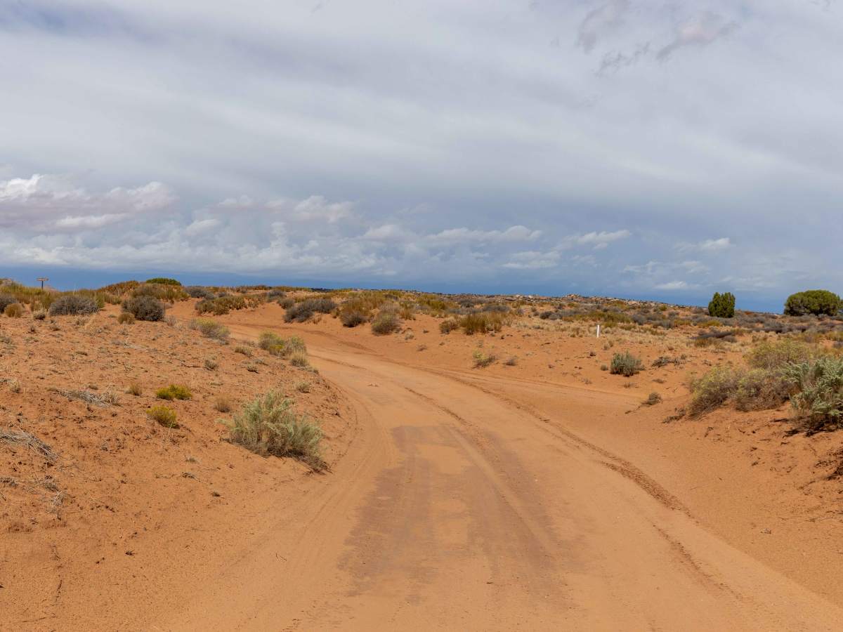
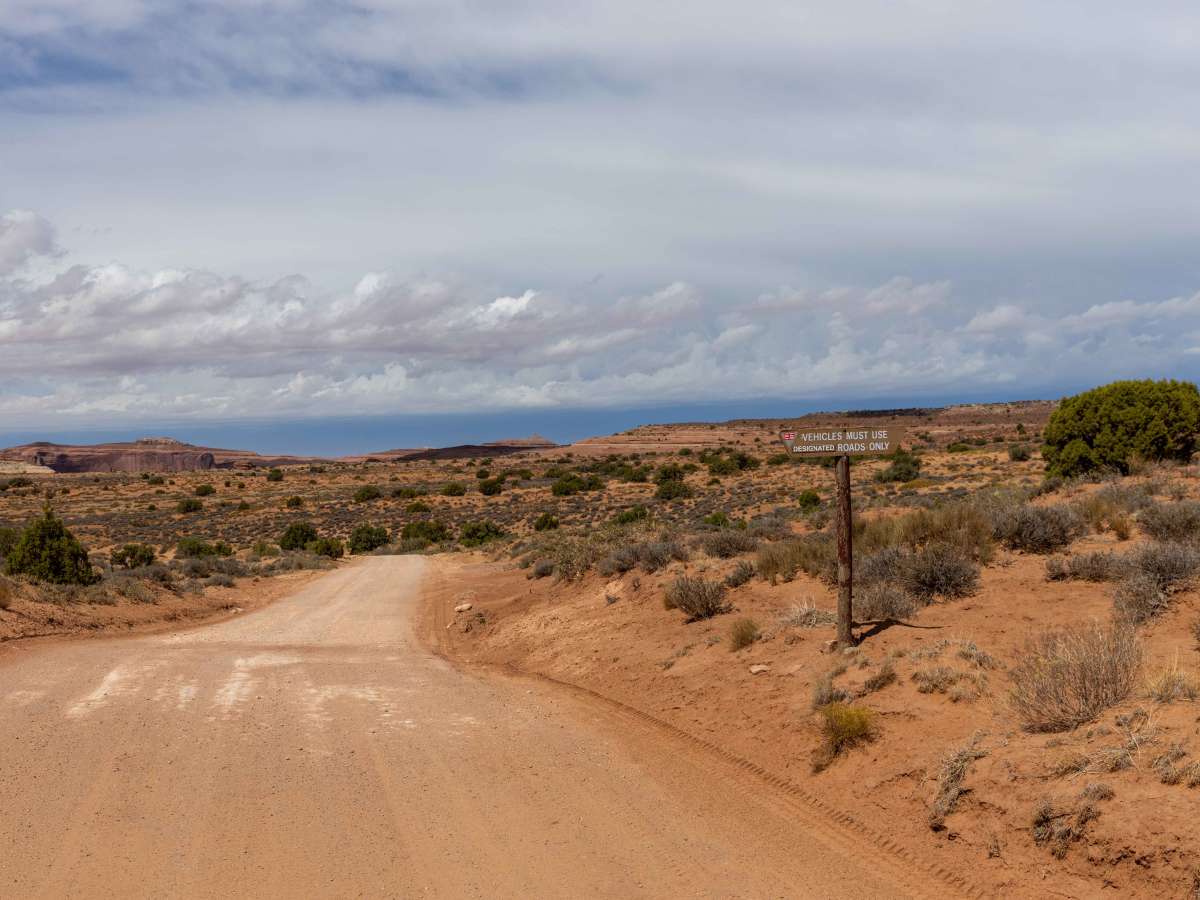
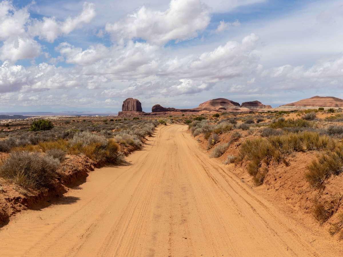
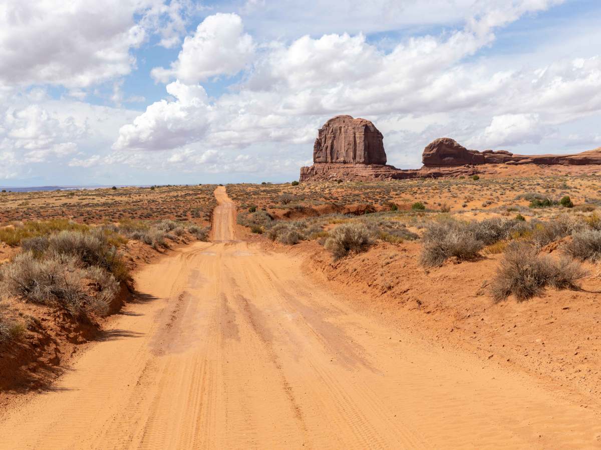
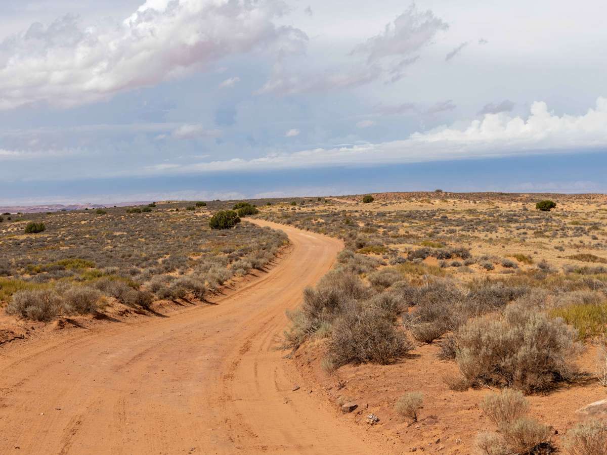
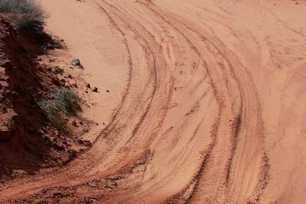
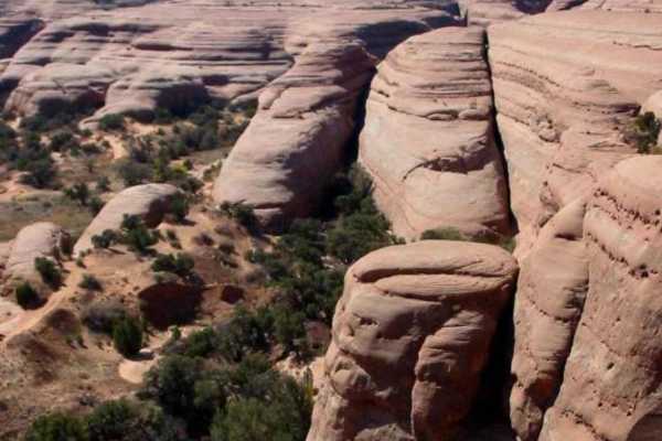
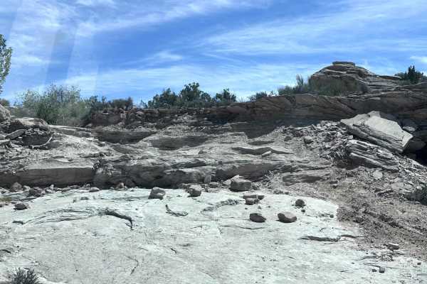
Spring Canyon Point begins as a wide and rocky route that steadily becomes more challenging as it progresses. Drivers will encounter ledges, sandy stretches, and eroded hills marked with ruts that require careful attention. The trail weaves across varied terrain, with rocky surfaces alternating with softer sand sections, keeping it dynamic and engaging. Campsites are available along the way, offering opportunities to take in the expansive views. While most of the route is manageable, the spur to Cliffhanger Arch is beyond a washout, requires a shorter wheelbase and 35-inch tires, and was not attempted. At the end of the route, there is a loop with dispersed camping. One must do a short hike to see the canyon below. This route pushes into the canyon country north of Moab, where erosion has carved distinct layers of sandstone into ledges, ridges, and open flats. The area is defined by its contrast between wide, rocky expanses and narrow drainages where sand collects. The views from points along the trail capture the open desert and canyon wilderness that has long drawn travelers into this remote corner of the Colorado Plateau.
Difficulty
This is an unmaintained trail of varying terrain. Overall, there are no major obstacles along this trail, though it is bumpy and rocky throughout. There is no cell service in the area, so offline maps are highly recommended.
History
Take a few extra minutes to see Dubinky Well, just 0.2 mile north of the start. It was originally built in 1937 by the Civilian Conservation Corps and provides water for livestock grazing. The windmill is larger than normal to facilitate the extra-deep 500-foot. well. Source: Kiosk at site.