Trail Overview
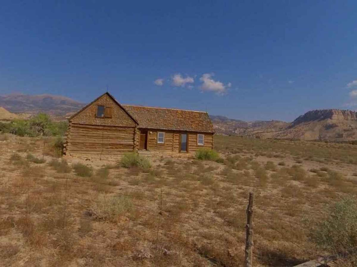
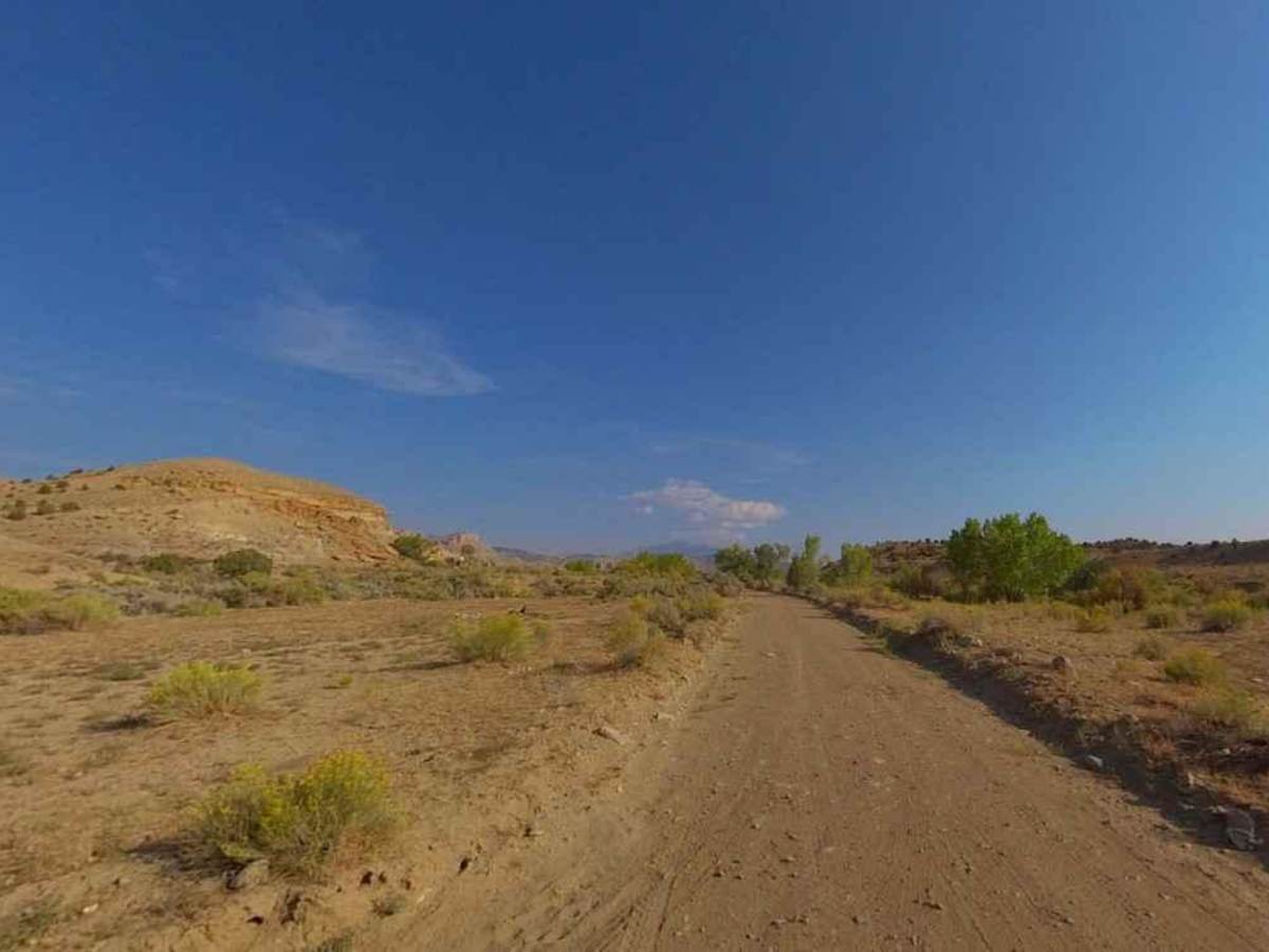
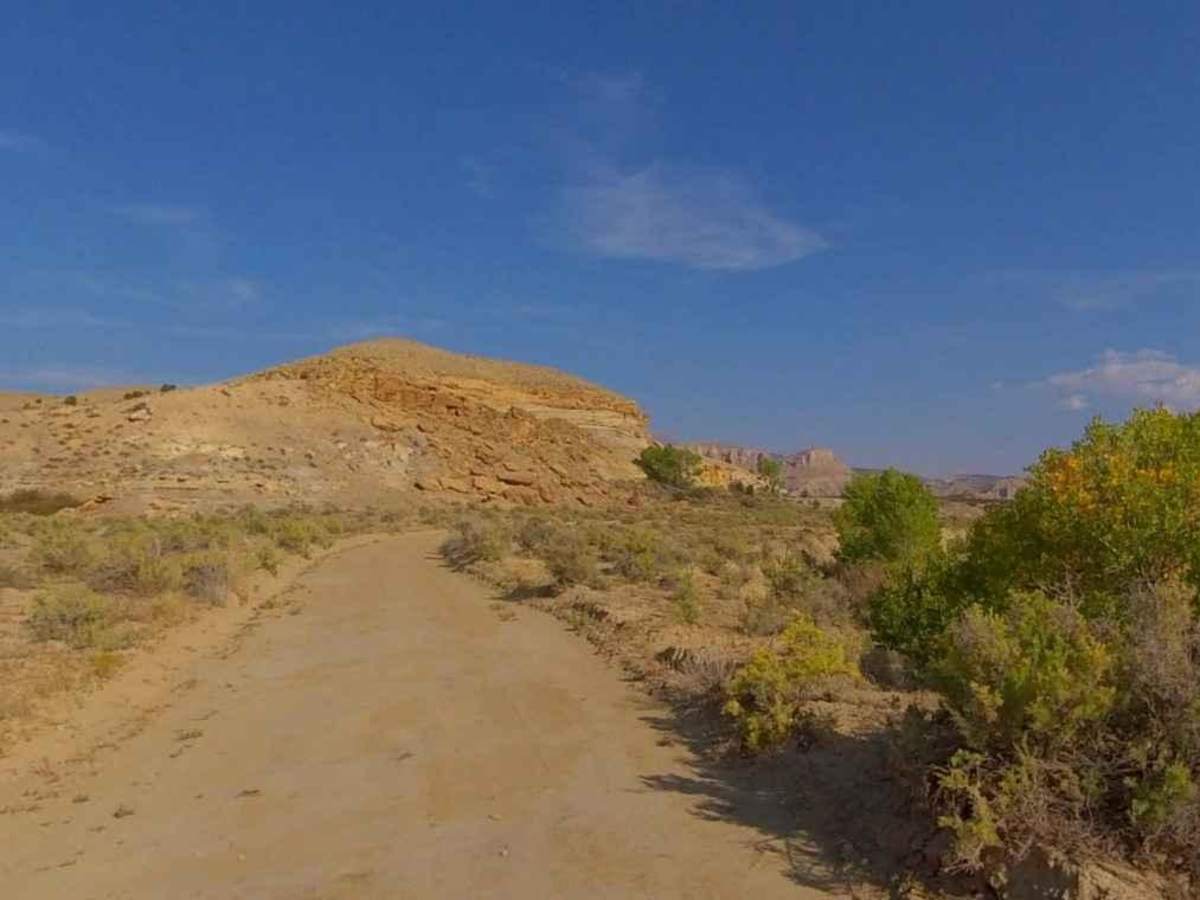
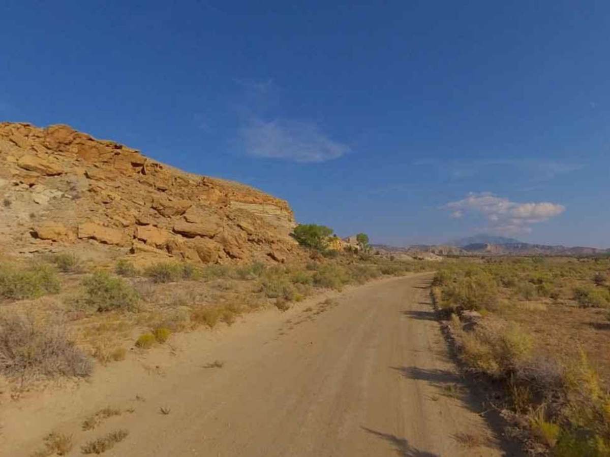
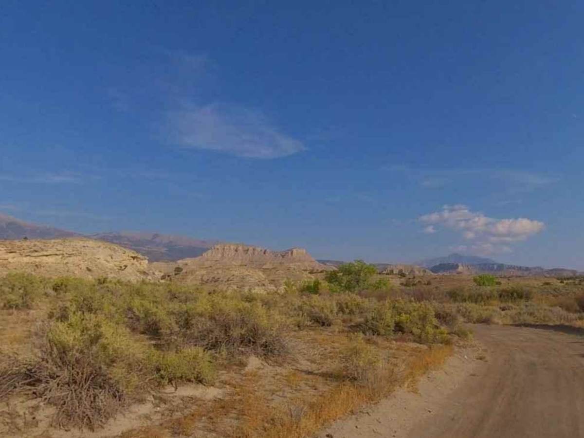
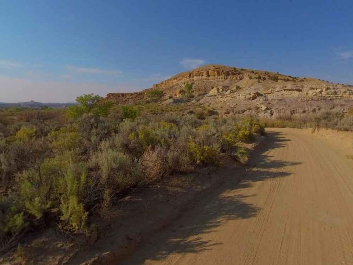
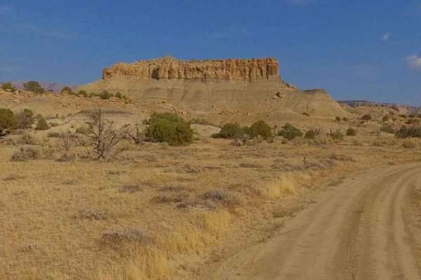
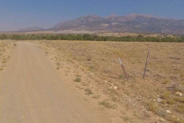
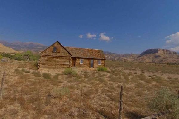
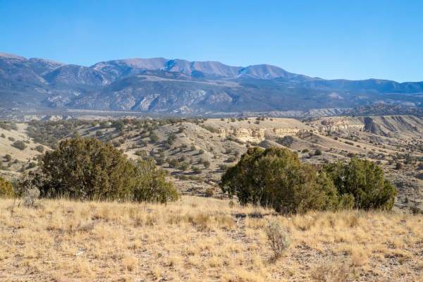
South Creek Road-BLM14200-14210 is a 4.7-mile point-to-point trail rated 2 of 10 located in Garfield County, Utah on the western side of the Henry Mountains. The trail is considered an improved road and is generally maintained by the BLM on a periodic basis. The trail starts and ends on a section of the Henry Mountains Road a major access road within the mountains. About halfway through the trail comes across the old King Ranch house. The trail generally follows the South Creek as it wraps around Steele Butte the most prominent feature along the trail at almost 6900 feet. The historic King Ranch is more than 125,000 acres located between the western side of the Henry Mountains and the eastern side of Capitol Reef National Park. The open grazing lands around the ranch used to serve large herds of cattle but now are used by the wild bison herd as they push down to lower elevations during the winter months. The terrain is managed by the Bureau of Land Management (BLM), but you will rarely see patrolling officials or other explorers in the area. The current population of bison in the Henry Mountains ranges between 250 and 400 animals. The best time to visit the Henry Mountains is in the summer or fall. The weather is generally mild during these seasons, and there are plenty of activities to keep you busy. Cell phone service is intermittent to non-existent and the nearest services are in Hanksville to the north. There are several gas stations along Highway 276 between the Bullfrog Marina and Hanksville.