Trail Overview
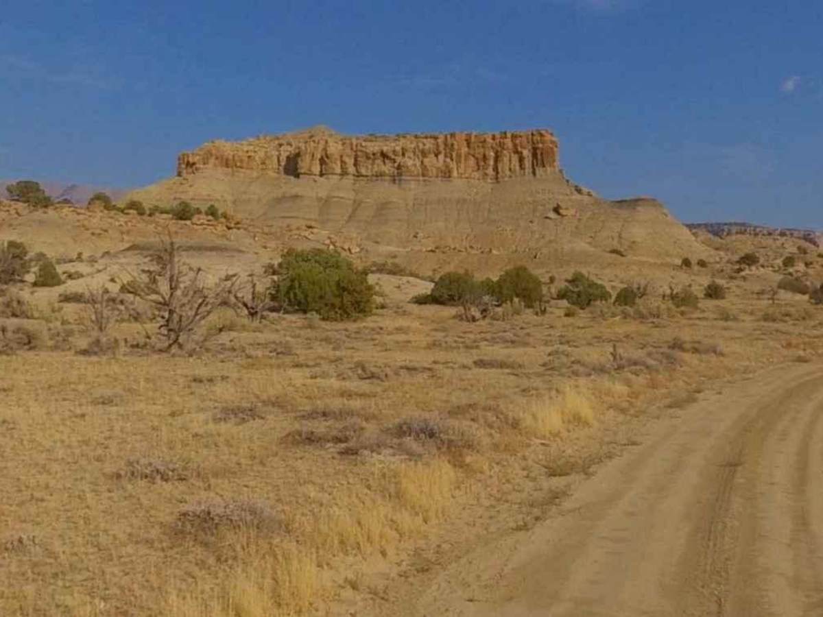
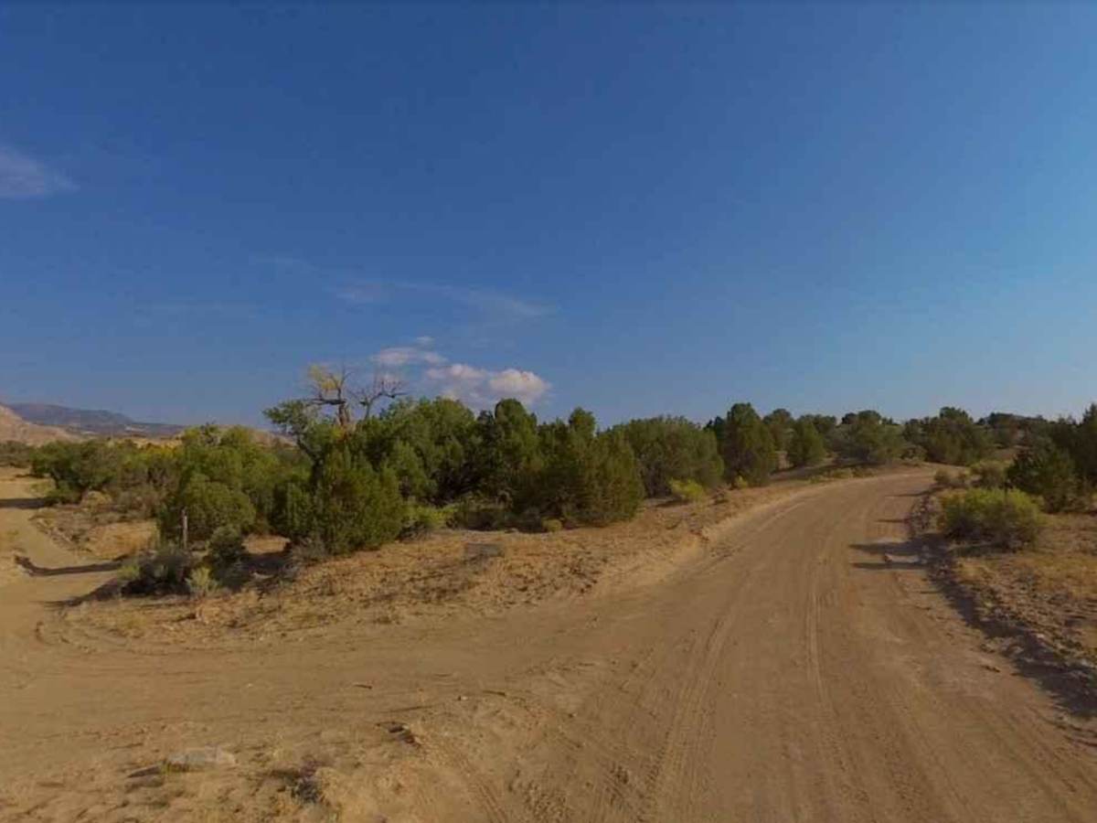
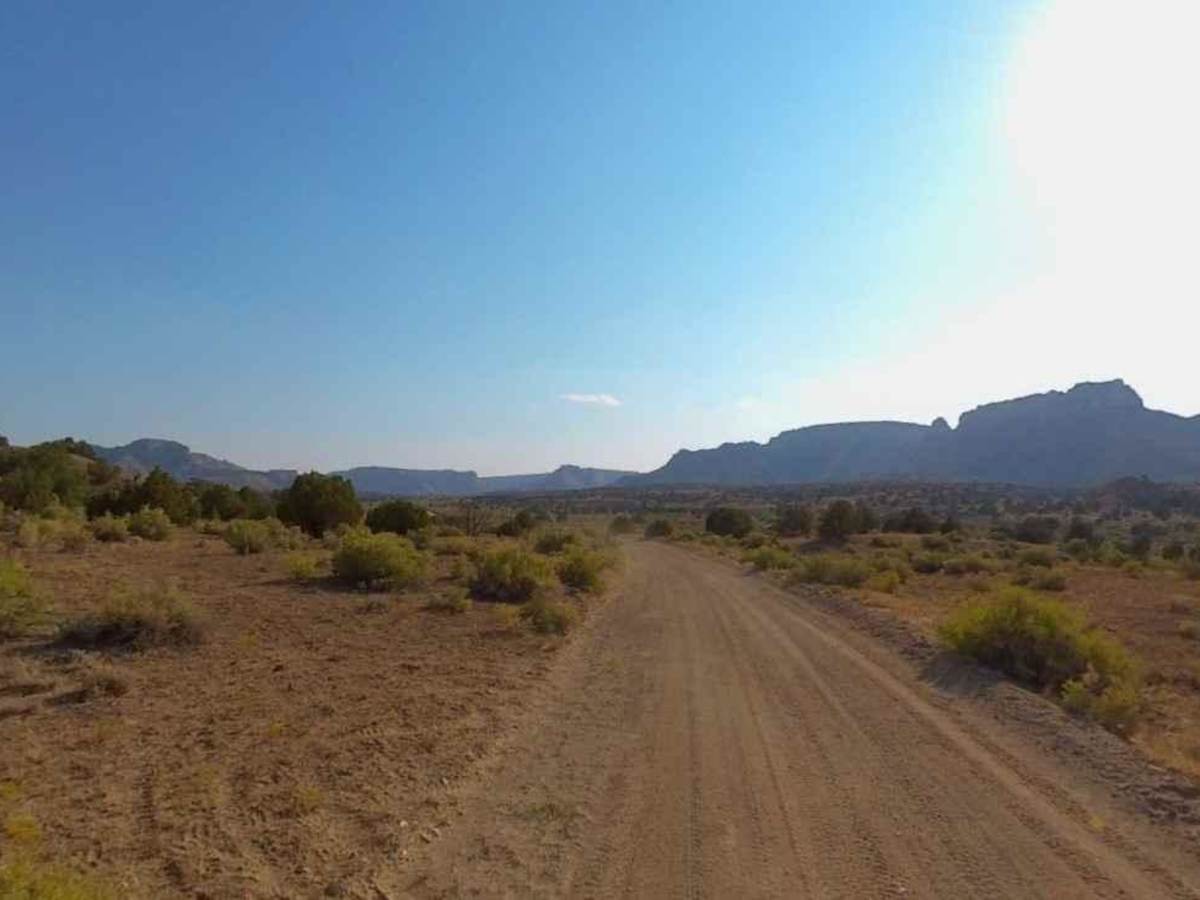
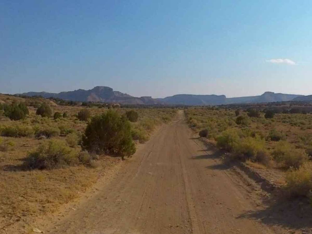
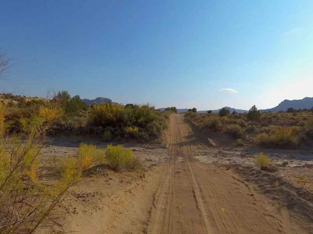
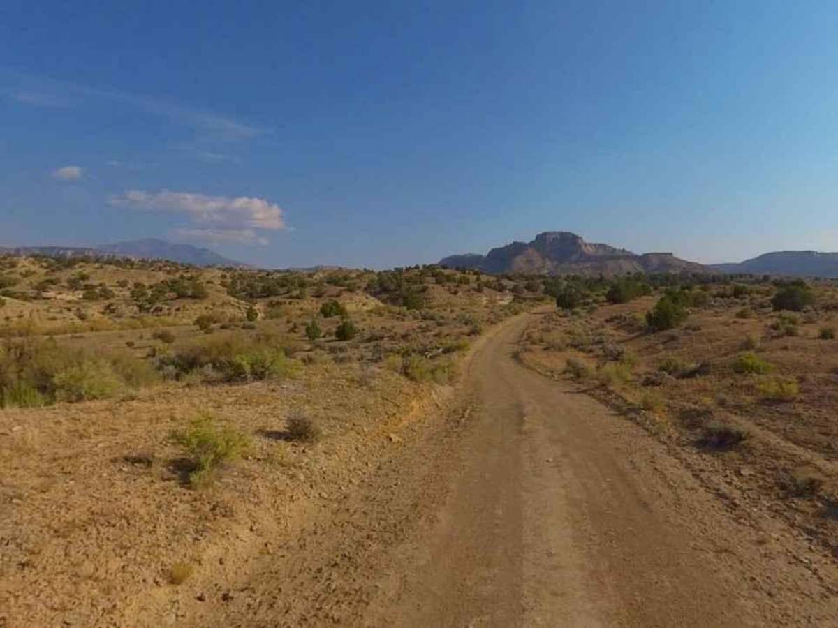
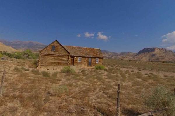
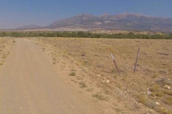
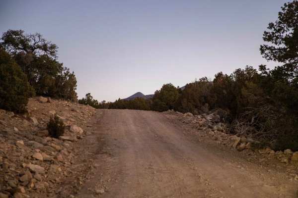
Sweetwater Creek-BLM14220 is a 2.7-mile point-to-point trail rated 2 of 10 located in Garfield County, Utah on the western side of the Henry Mountains. The trail is considered an improved dirt road as it is maintained periodically by the BLM. The road is generally single vehicles wide with room to pass oncoming traffic. The trail runs around the western end of Kings Meadow, part of the Kings Ranch homestead. At the westernmost part of the trail is Seven Canyon. This wash runs into a deep canyon that drains into Coleman Wash at the base of the Capitol Reef. It is not accessible by vehicle but can be hiked. As with all of the trails in the area, come prepared with supplies, water, food, and a reliable vehicle. With the exception of certain areas traveled by miners and a few ranchers, the Henry Mountains are largely unexplored. The terrain is managed by the Bureau of Land Management (BLM), but you will rarely see patrolling officials or other explorers in the area. The most common forms of life found in the Henry Mountains are various types of wildlife including Mule Deer, Bison, and Mountain Lions. The current population of bison in the Henry Mountains ranges between 250 and 400 animals. The best time to visit the Henry Mountains is in the summer or fall. The weather is generally mild during these seasons, and there are plenty of activities to keep you busy. Cell phone service is intermittent to non-existent and the nearest services are in Hanksville to the north. There are several gas stations along Highway 276 between the Bullfrog Marina and Hanksville.