Rock Canyon - Dry Fork

Total Miles3.4
Technical Rating
5Moderate
Best TimeSummer, Fall
Trail TypeSingle Track
Accessible By
Open Trail Map

Trail Overview

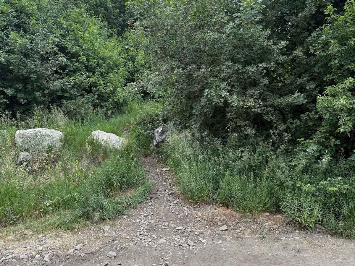
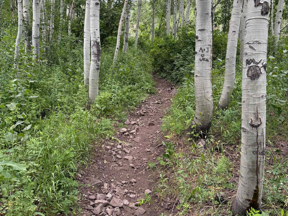
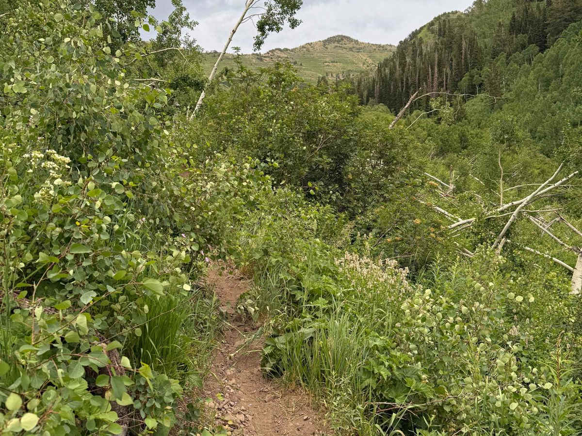
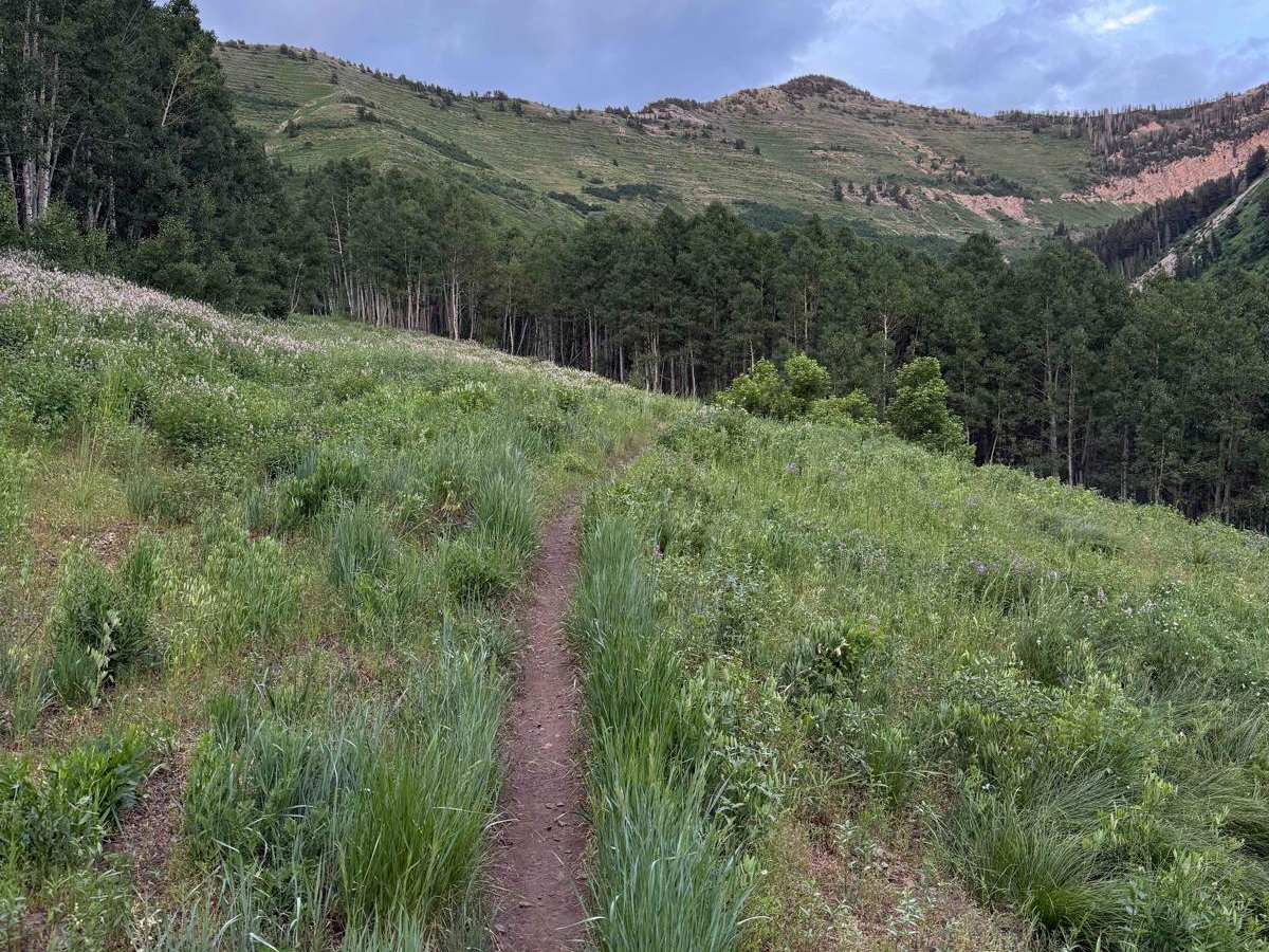
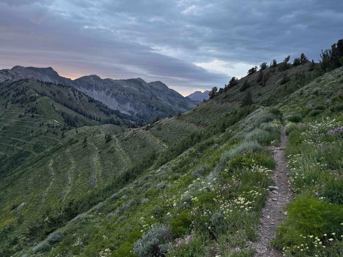
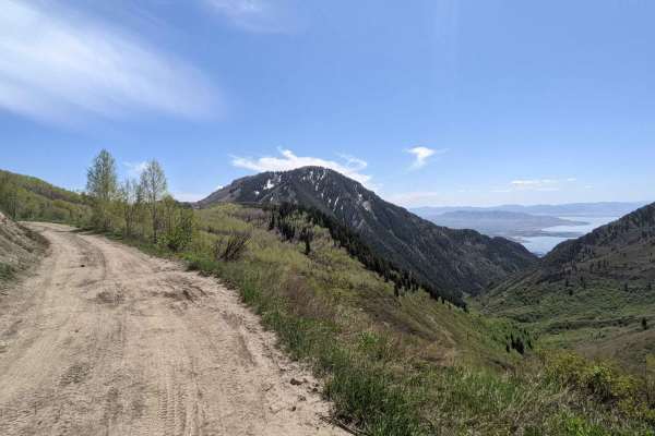
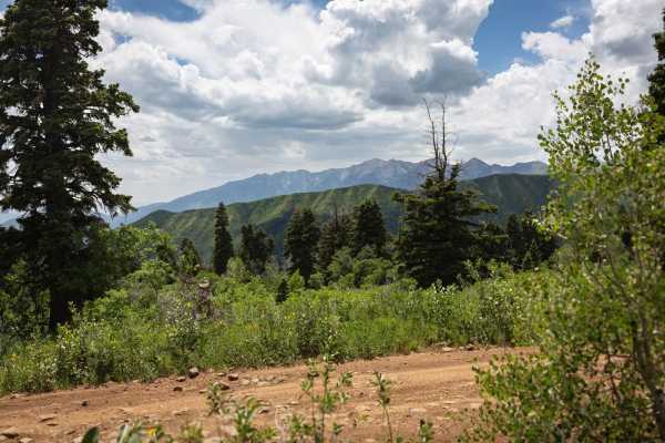
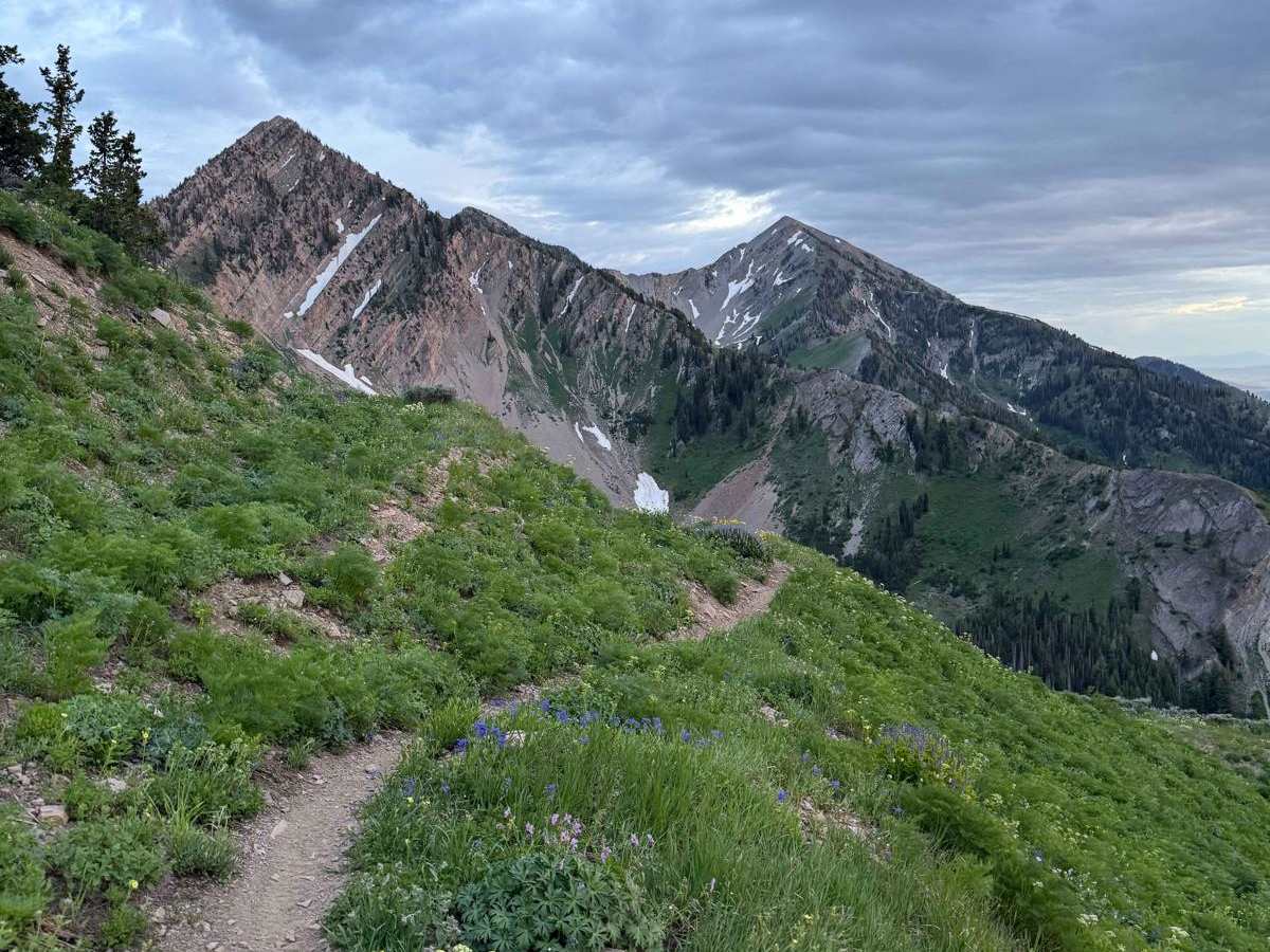
This challenging singletrack starts immediately from Forest Road 70027, quickly narrowing with dense brush. As you climb through aspen groves, expect occasional sharp drops toward the creek. Higher up, you'll find flat open spaces before the final ascent. The steep northern slope of Freedom Peak, crossing to Shingle Mill Peak, is a rock garden of loose stones and embedded boulders. At the highest point, you can turn off for Shingle Mill or continue down a steep, rocky descent to Big Springs Hollow. The panoramic views from the top are exceptional, making the effort entirely worthwhile. This trail is for experienced riders seeking a technical challenge and stunning scenery.

Photos of Rock Canyon - Dry Fork

Difficulty

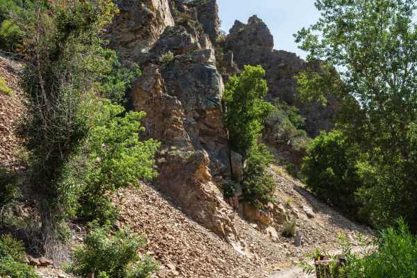
The trail is very tight with some high-exposure corners and steep rocky climbs with high-consequence drop-offs. The trail surface is mostly dirt with rock obstacles.

Technical Rating

5

Rock Canyon - Dry Fork Trail can be accessed by the following ride types:

  • Single Track

Rock Canyon - Dry Fork Map

The onX Offroad Difference

onX Offroad combines trail photos, descriptions, difficulty ratings, width restrictions, seasonality, and more in a user-friendly interface. Available on all devices, with offline access and full compatibility with CarPlay and Android Auto. Discover what you're missing today!

Open Trail Map