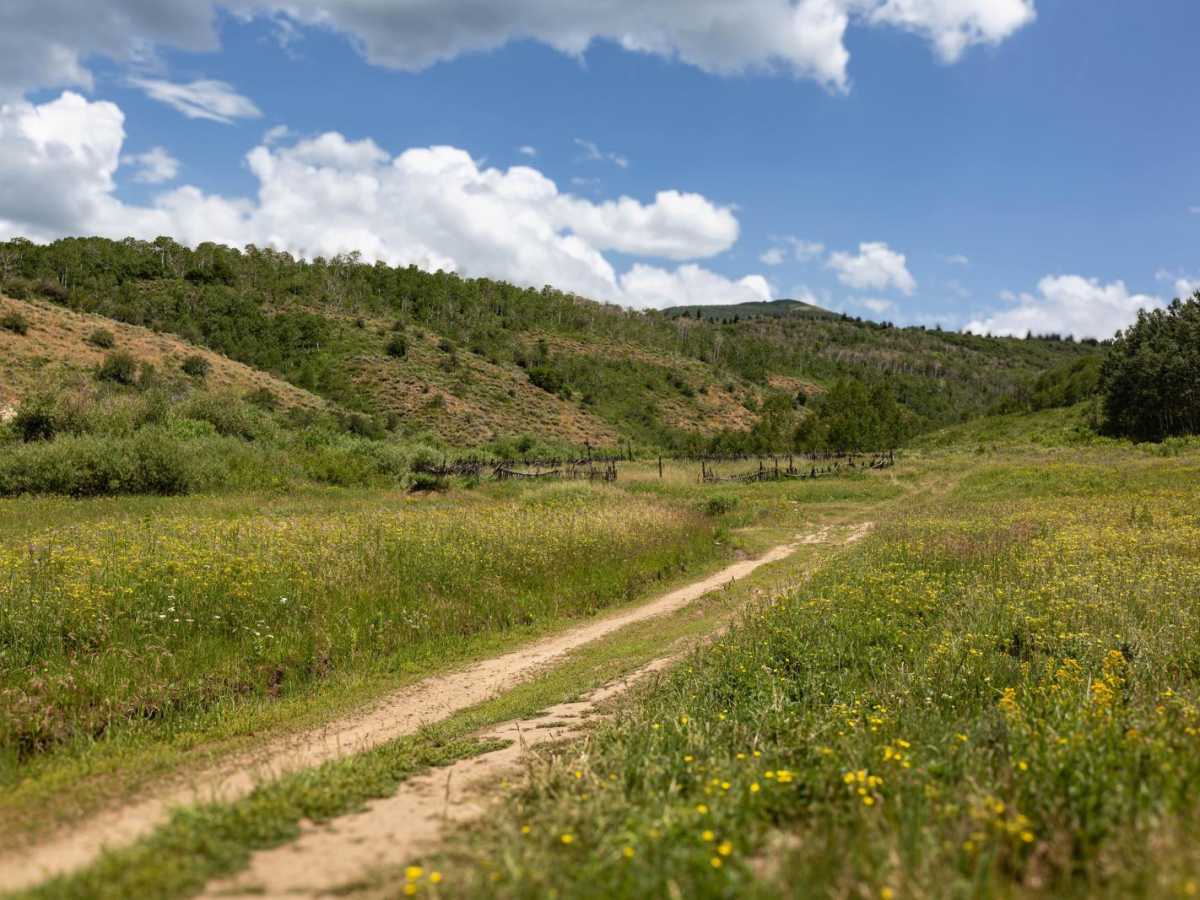
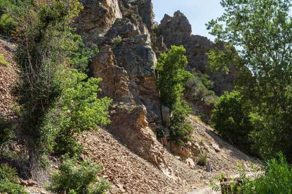
Trail Overview
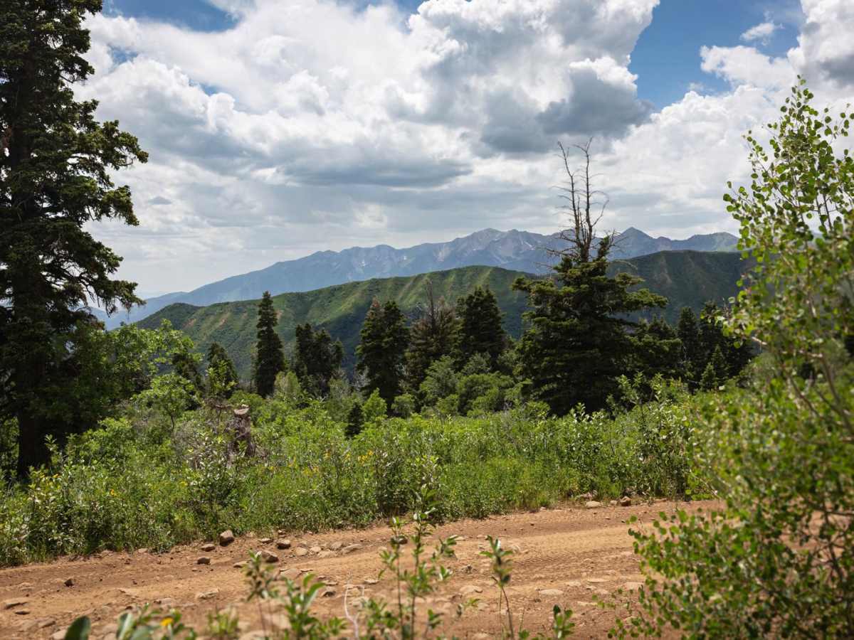
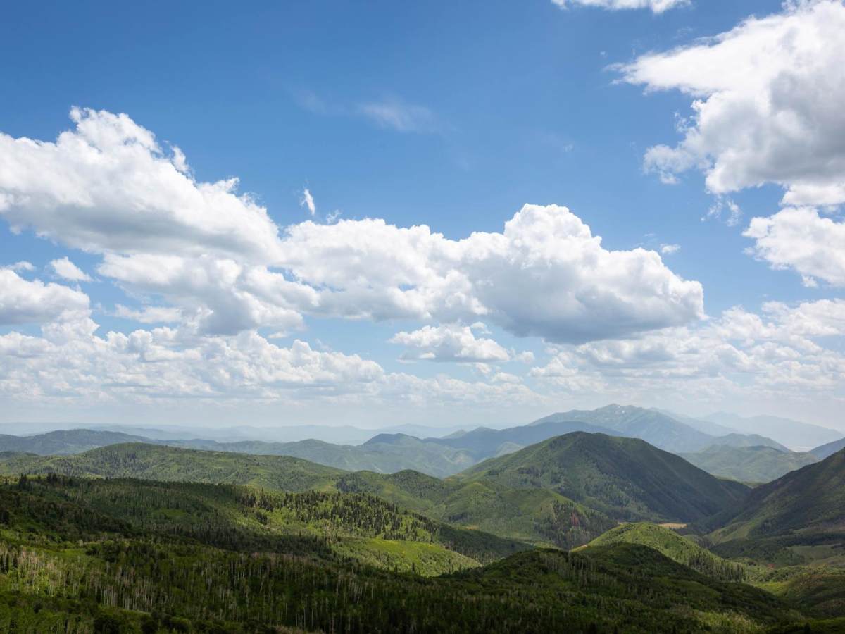
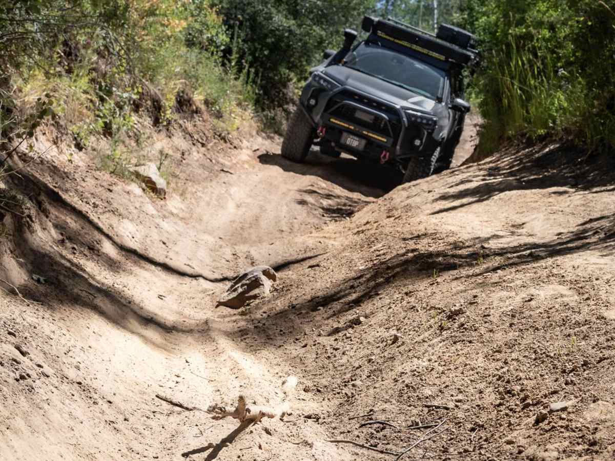
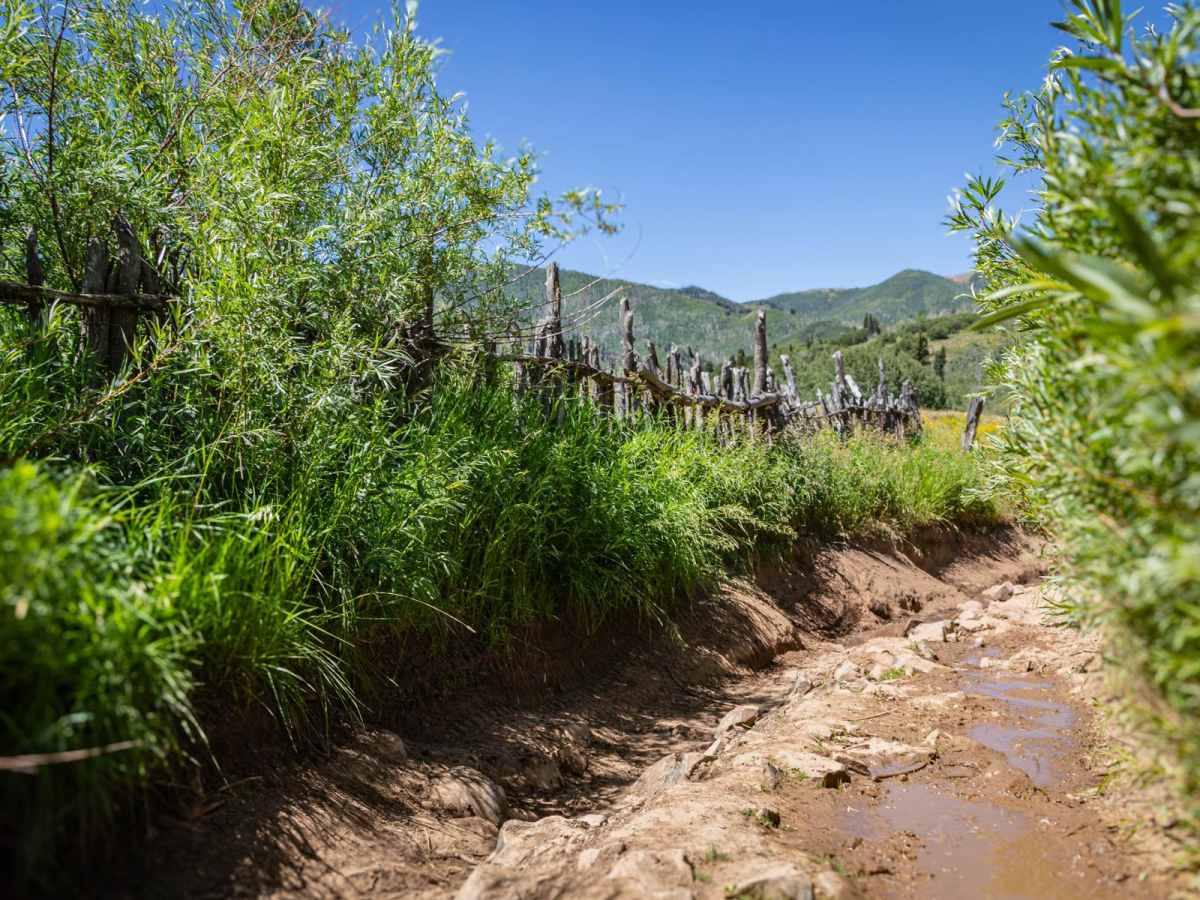
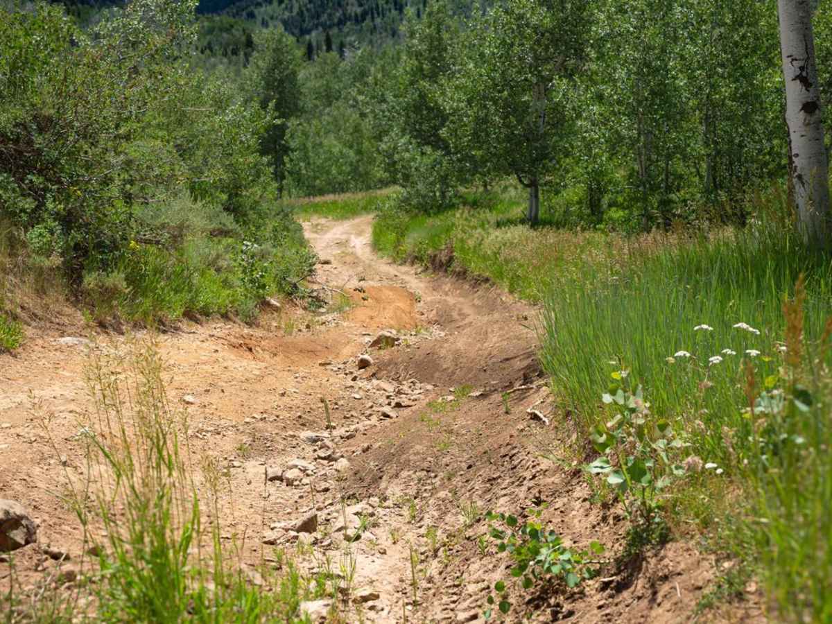
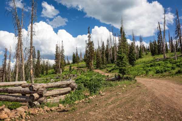
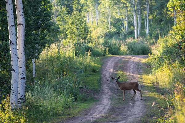
Deep ruts, large bumps, and amazing views can be expected from Wing Flat (FR 70619). A large portion of this road (about three miles) tightly hugs the side of a mountain. This shelf road is quite high, but offers grandiose views of Corral Mountain to the south at 10,423', East Provo Peak at 11,043', Red Pine Knoll at 8,179', and a few others in the area. The majority of this trail is quite rocky with some sections of loose rock that are about the size of watermelons. But for a greater challenge, head to the west end of the trail and navigate the last 830 yards through very deep ruts, off-camber sections, and large obstacles that can't be avoided. You may find a couple of bypasses here, but the options offer different challenges, not necessarily an easier alternative. If you're approaching Wing Flat from the west, be sure to stay on the trail and follow it to the left, as there is another very steep trail that branches off to the right, which is not Wing Flat. If camping is on the itinerary, be sure to keep an eye open for some amazing dispersed camp sites along the way. On a clear night, the stars will not disappoint.
Difficulty
Wing Flat is very rocky with sections of large loose rocks on a shelf road. There are ruts a couple of feet deep, off-camber sections, and steep sections where the actual roadbed has been eroded so bad to one side that your vehicle will tilt sideways, nearly scraping the dirt wall to the side. This section of the trail is basically one majorly deep rut with a very large log to one side running parallel to the trail.