Trail Overview
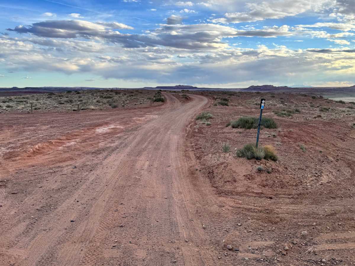
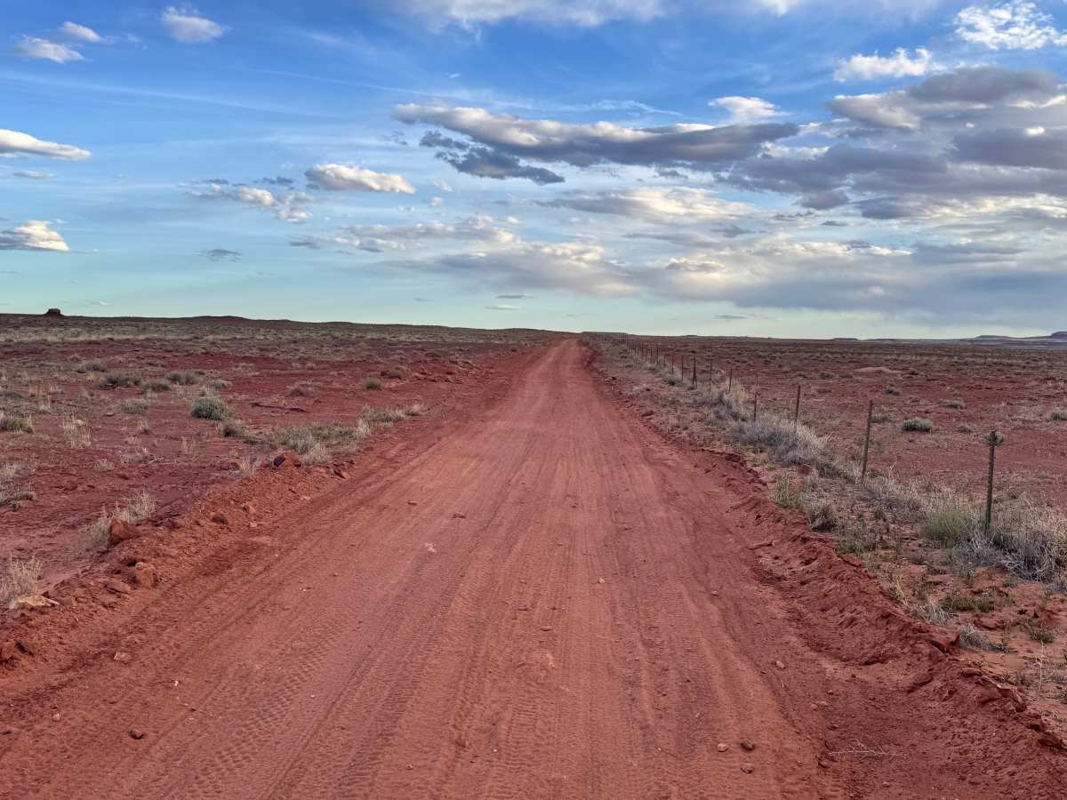
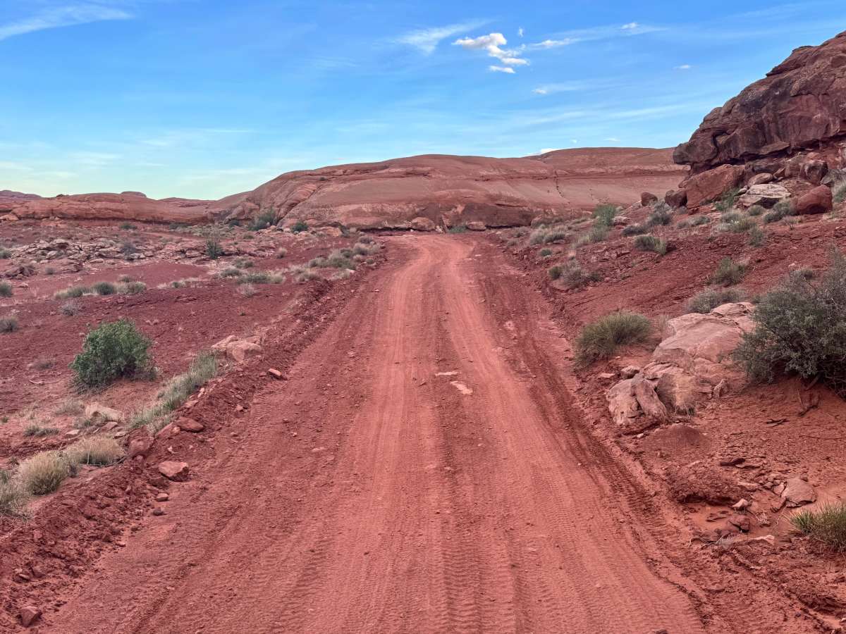
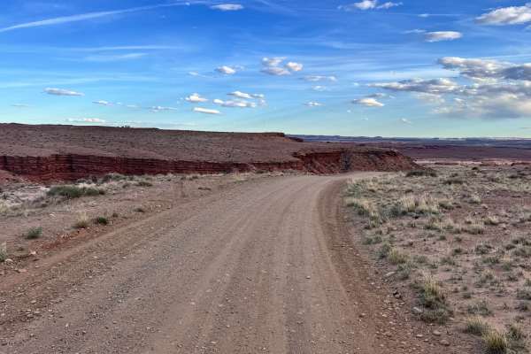
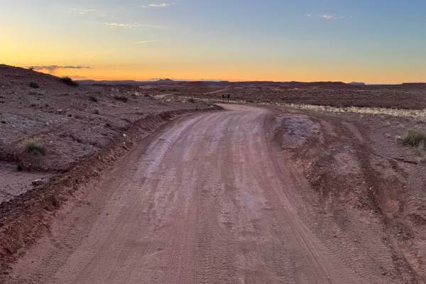
Red Wash Road (Route B335) is an easy offroad connector west of Moab that’s ideal for high-clearance vehicles, SxSs, and dirt bikes looking to link the White Wash Sand Dunes with Ten Mile Wash or deeper routes in the Labyrinth Rims area. With minimal obstacles and open desert views, it’s a functional but scenic option for staging, camping access, or extending a larger route plan.
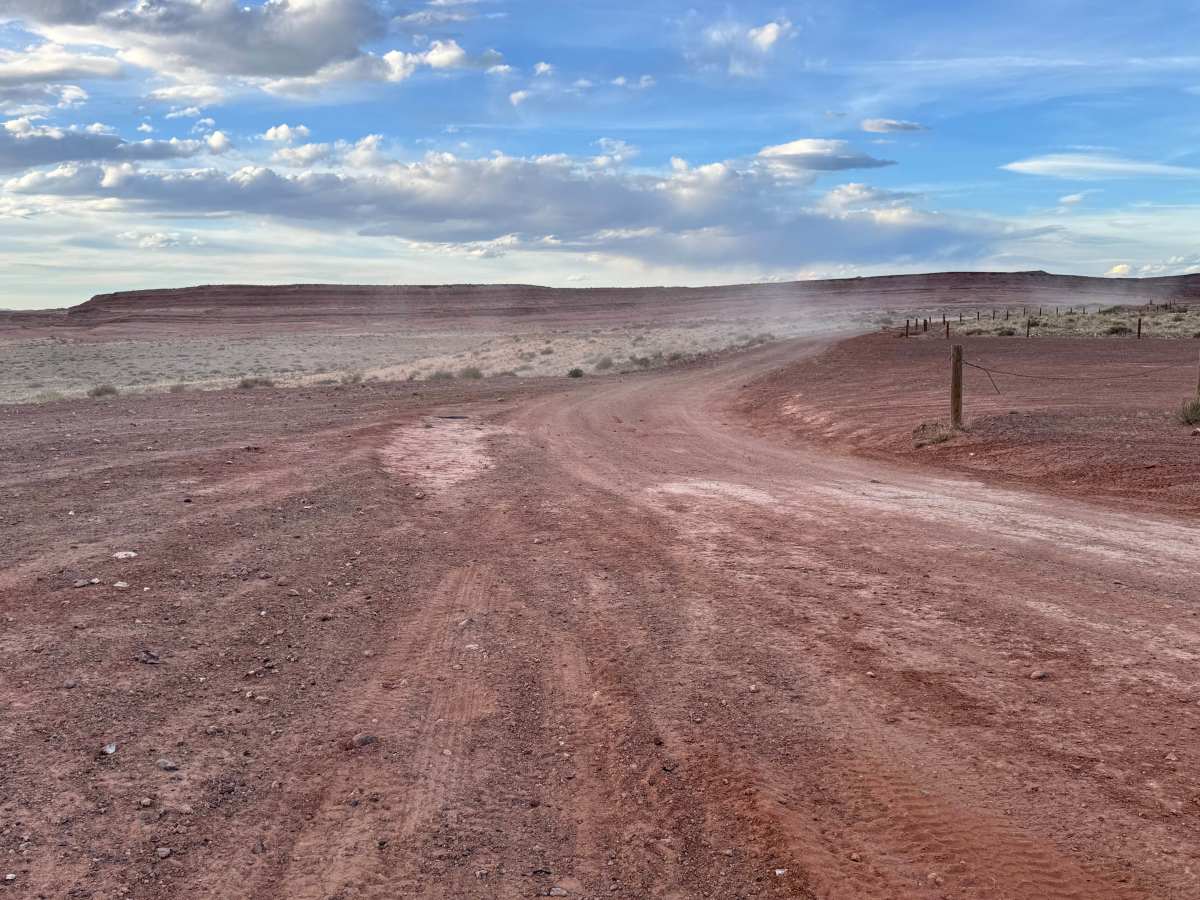
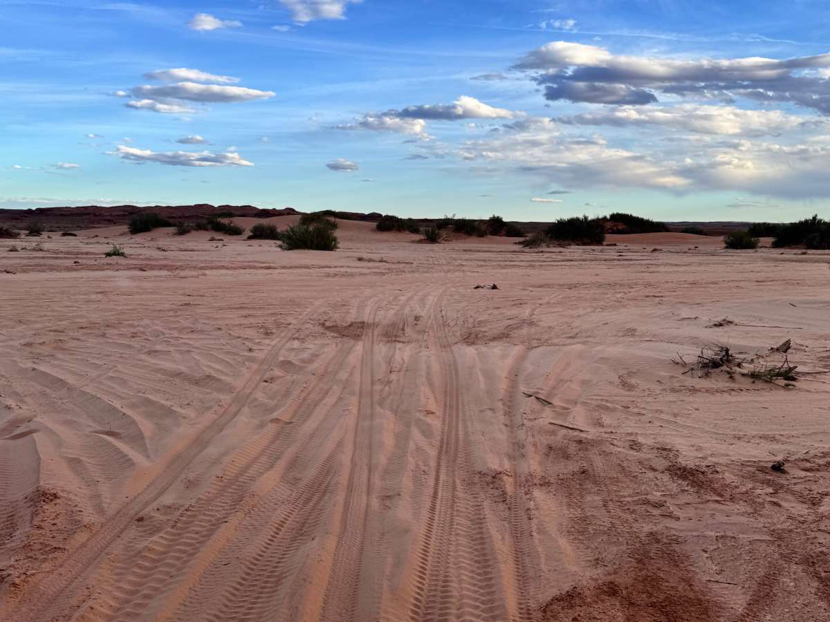
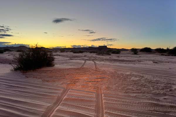
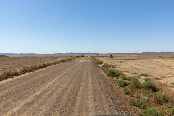
The trail runs over graded dirt and sand, with stretches of loose gravel and potential mud after storms. High-clearance 2WD vehicles can typically handle it in dry weather, but sandy spots near White Wash and flash flood-prone washes call for caution, especially after rain or snowmelt. Designated as Route B335 by the BLM and part of the Labyrinth Rims/Gemini Bridges network, the road sees regular OHV traffic and support vehicles. Expect ruts, shallow wash crossings, and limited cell reception—standard fare for this part of the desert. While it’s accessible year-round, conditions change fast in this remote terrain, so check the weather and pack accordingly.
Difficulty
This route stays fairly manageable through most of the dirt, sand, and rock slab sections, but the two-foot ledges near 10 Mile Road raise the overall difficulty. Those final obstacles may require careful tire placement, good clearance, and low-range control on both climbs and descents. Most stock high clearance 4x4s can complete it.