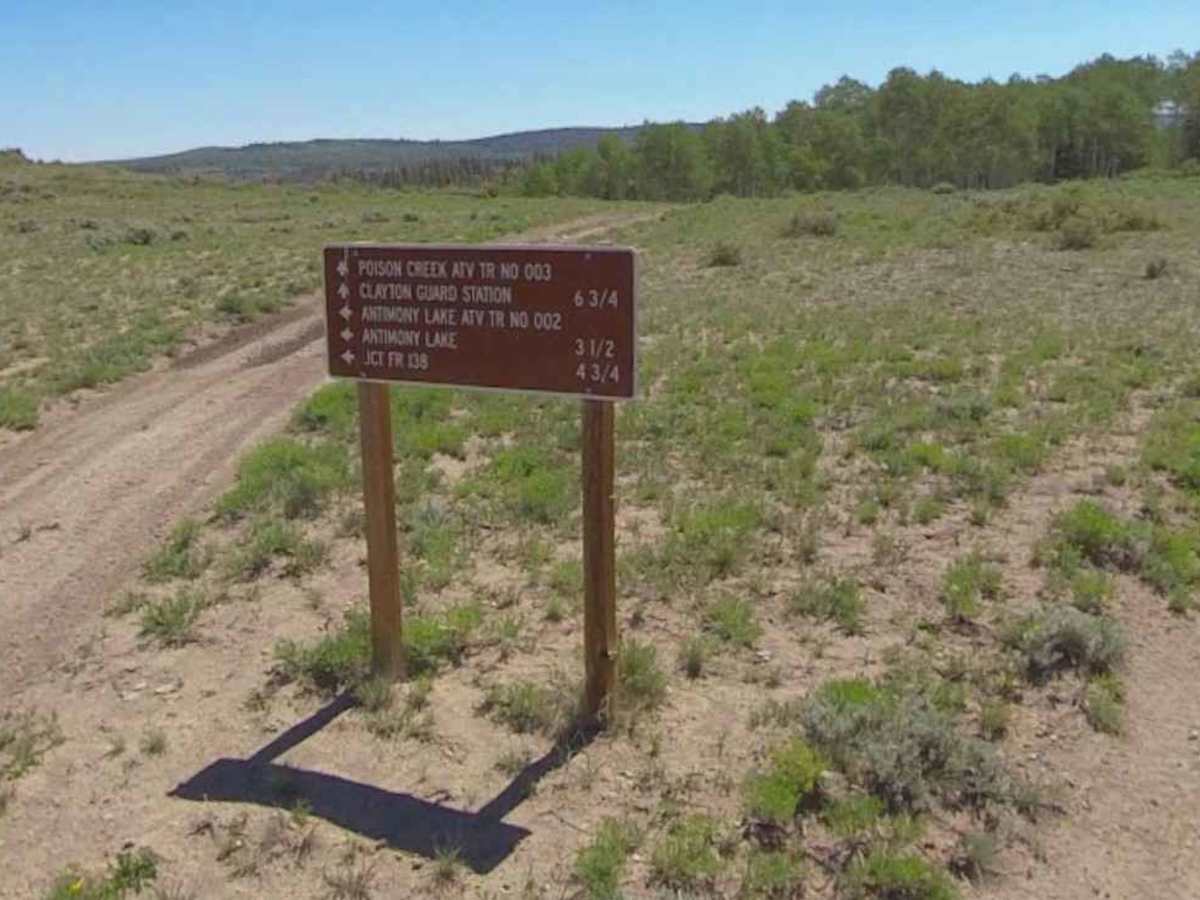
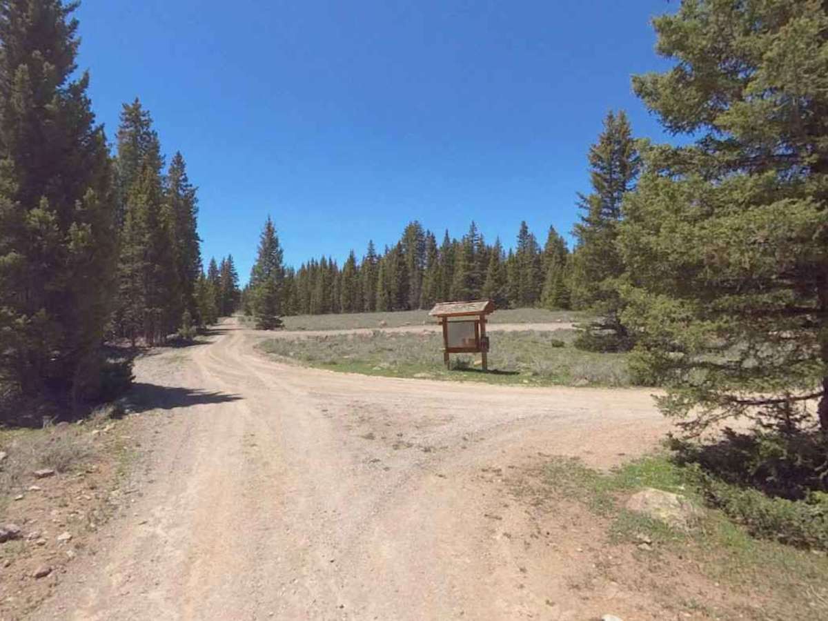
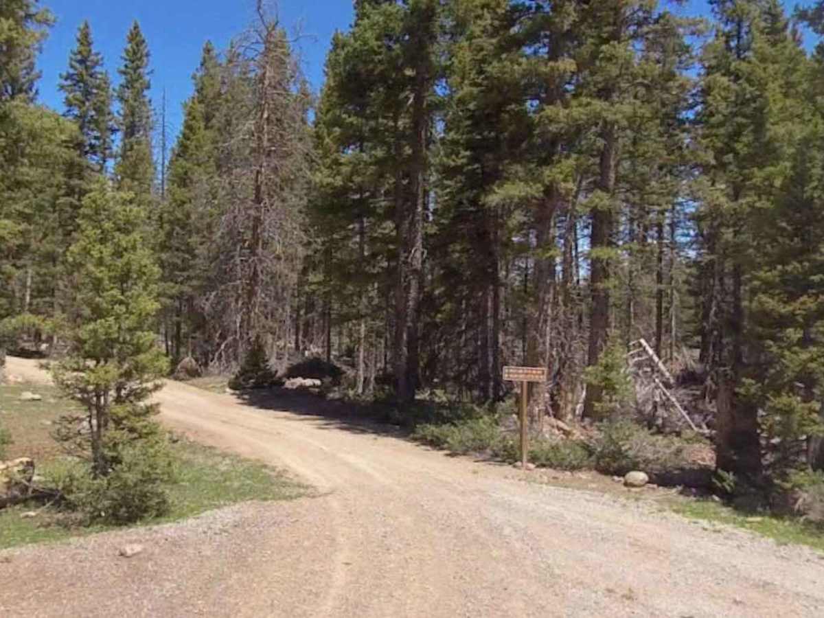
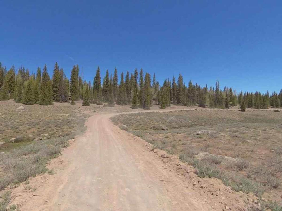
Trail Overview
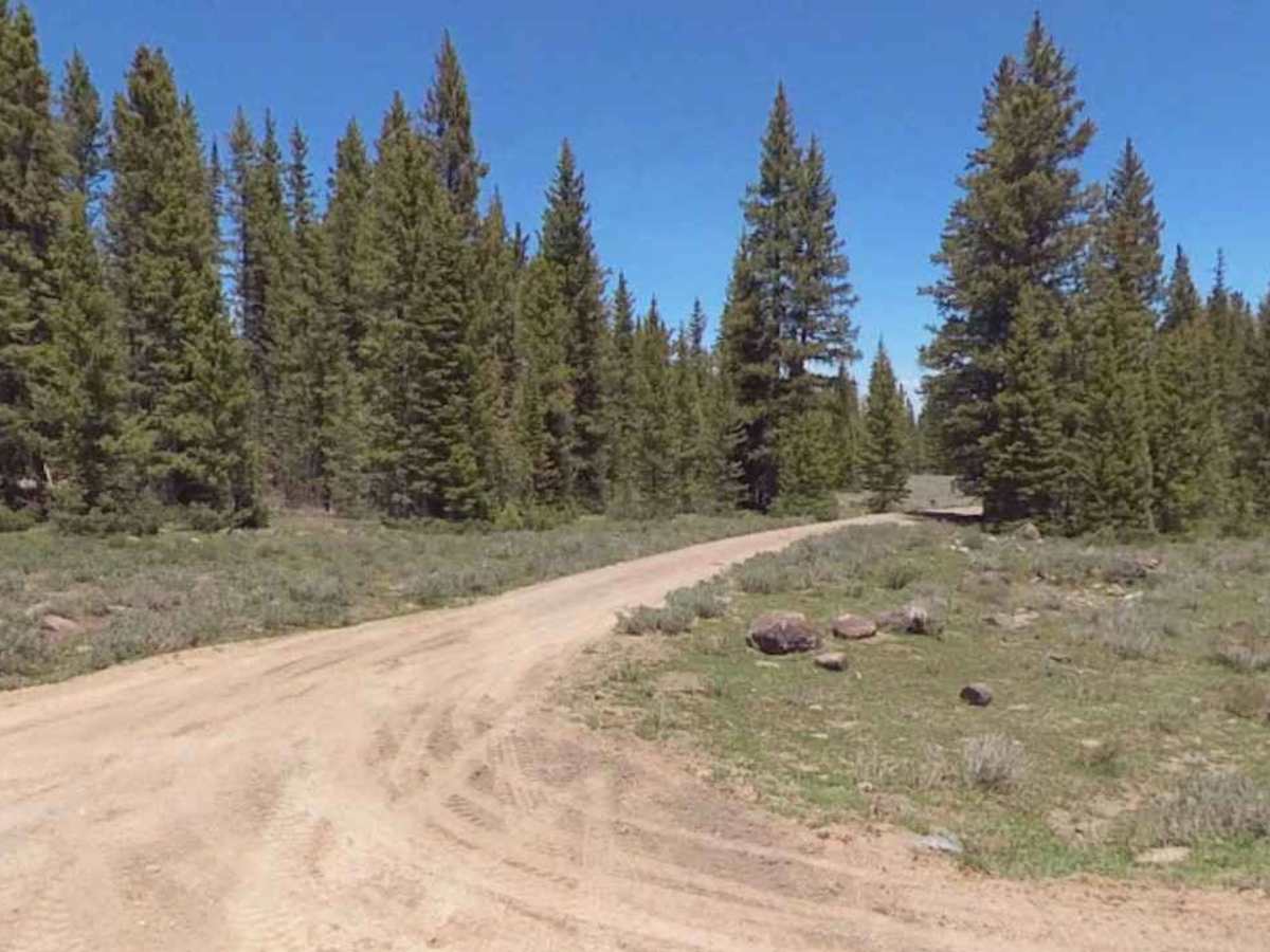
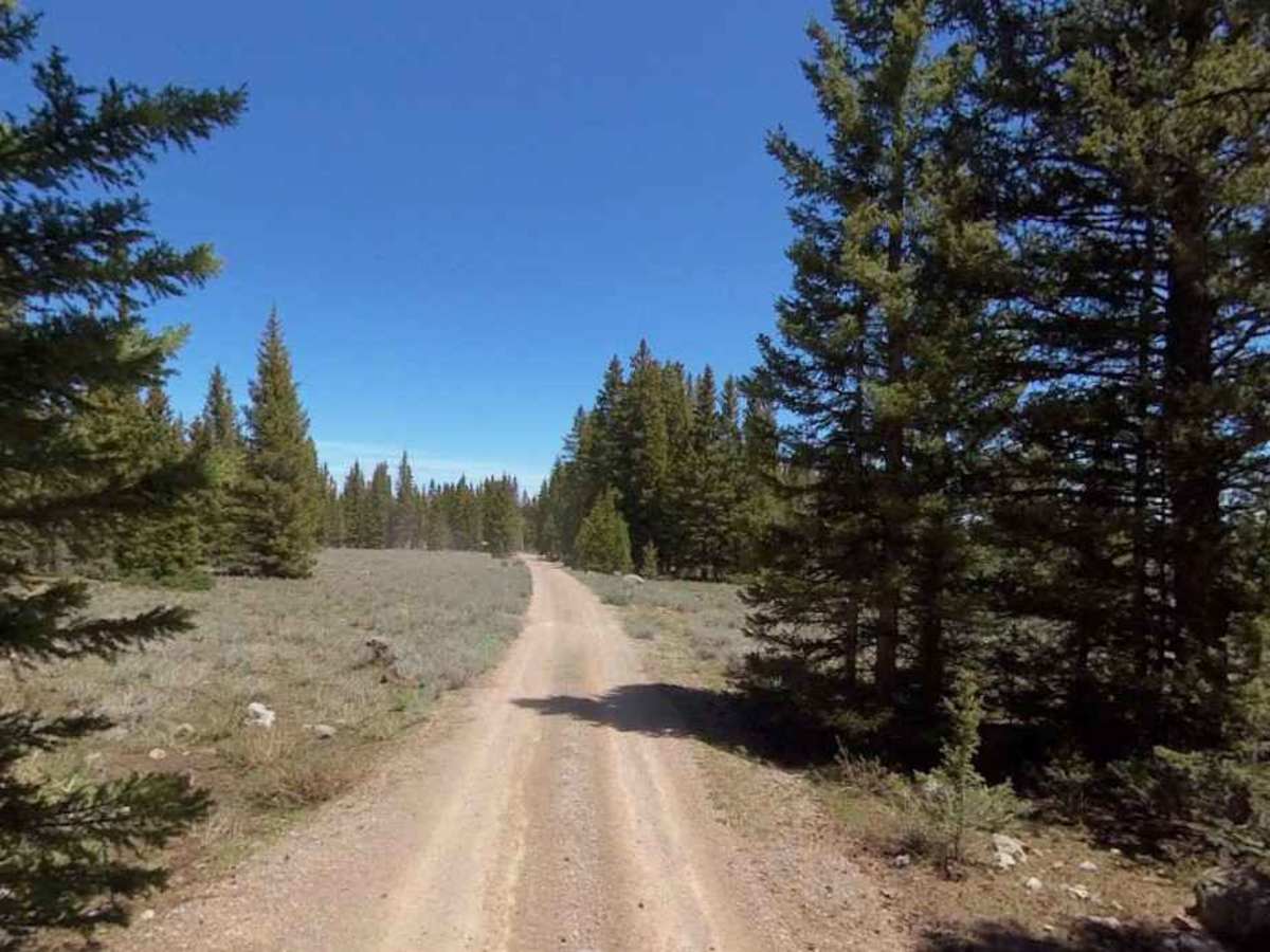
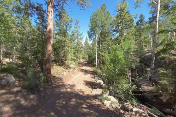
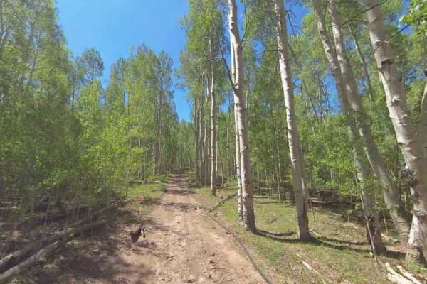
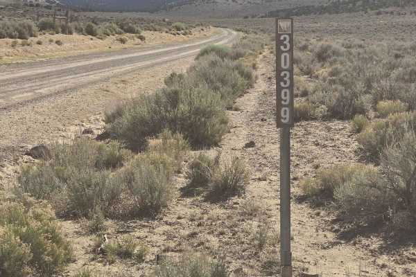
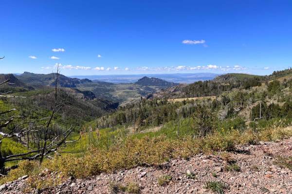
Poison Creek ATV Trail (FS 34003) is open year-round for vehicles 50 inches or less. This 11.6-mile point-to-point trail, rated 3 of 10, is located within the Escalante Ranger District of the Dixie National Forest. The trail is also open to bicycles, hikers, and equestrians, so remember that motorized vehicles must yield to non-motorized users. This trail starts at the western edge of the forest boundary and ends at the Calyton Trailhead just off the Great Western Trail (FS 34001). The trail will climb nearly 3000 feet in elevation over the course of the trail, so depending upon winter snowfalls, this trail may not be clear until midsummer. Consisting of mostly hard-packed dirt, the trail will wind through open alpine meadows, Birch forests, Juniper, and Pinion Pine. This scenic trail route offers access to the Aquarius Plateau and is often used with the Antimony Lake trail to create a loop. The forest service rates this trail as moderate; it is a full-width trail that can get muddy or rutted depending on recent weather. The trail leads riders past the Poison Creek Reservoir, which locals refer to as “the pond.” Although open year-round, this route is not recommended during the winter months due to deep snow and could be extremely muddy with the possibility of flash floods during heavy rain events. Once away from the highway, there is no cell service, and the nearest gas is located in Junction or Bryce Canyon City. The middle section of this trail overlaps with Mud Lake-Clayton (FS 30134) as it runs through Dry Hollow, so there is a potential for larger vehicles on this section of the trail.
Difficulty
Trail consisting of loose rocks, dirt, and sand with some slickrock surfaces, mud holes possible, no steps higher than 12 inches. 4WD may be required; aggressive tires are a plus.