Trail Overview
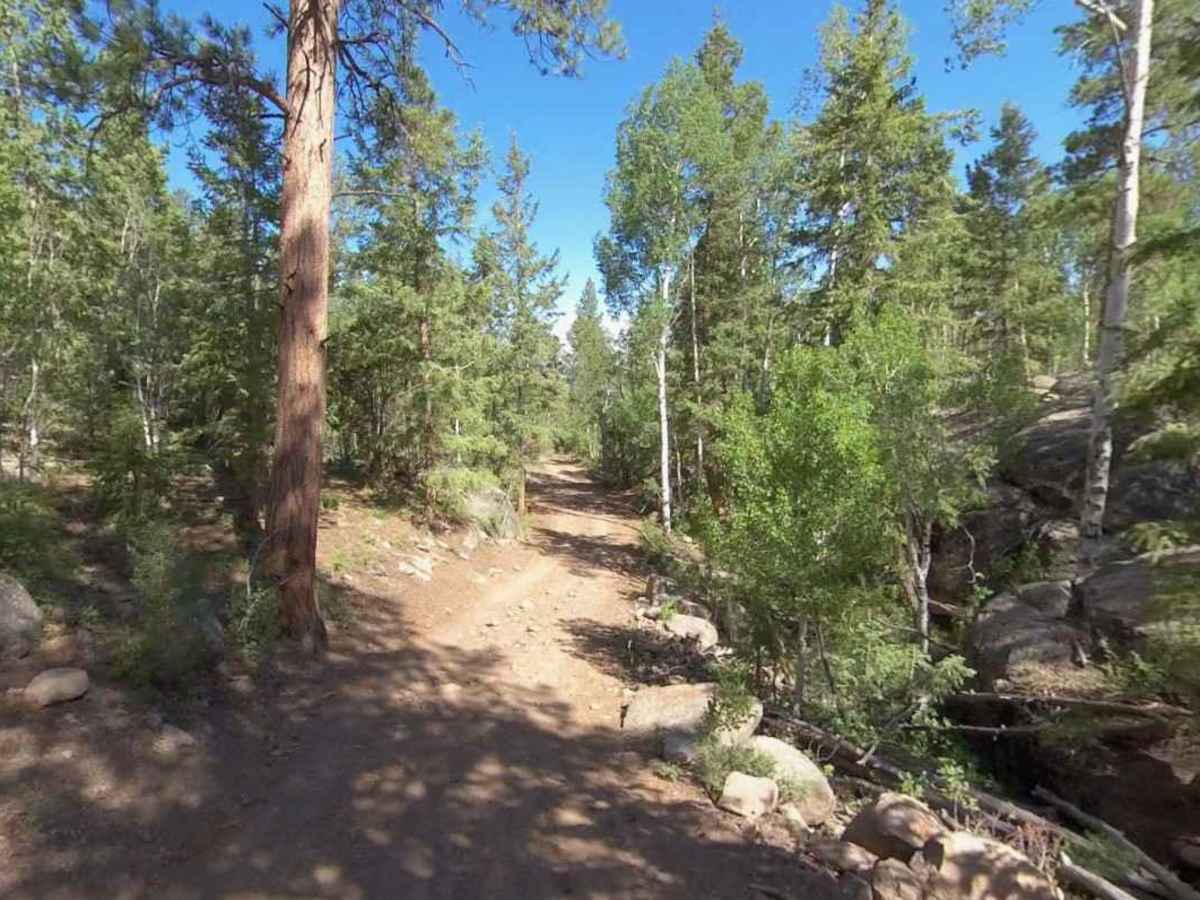
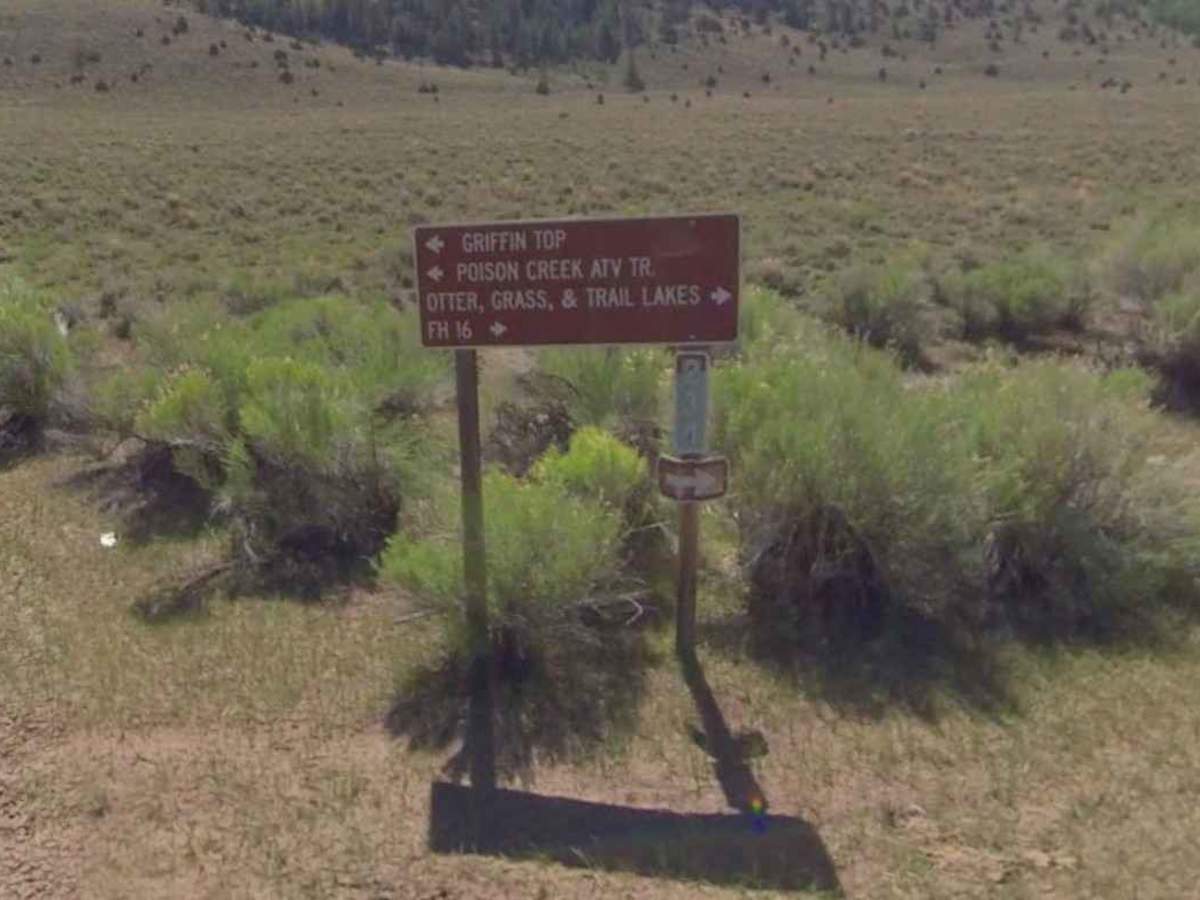
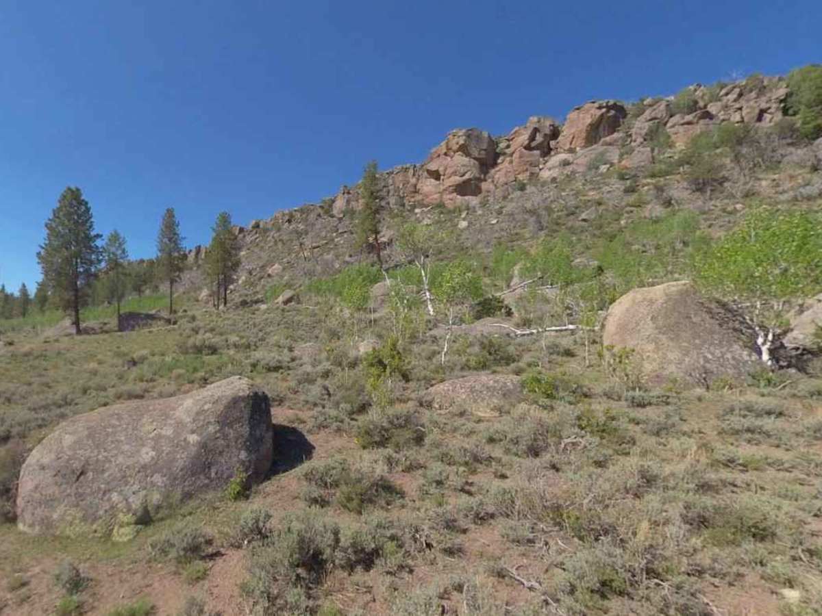
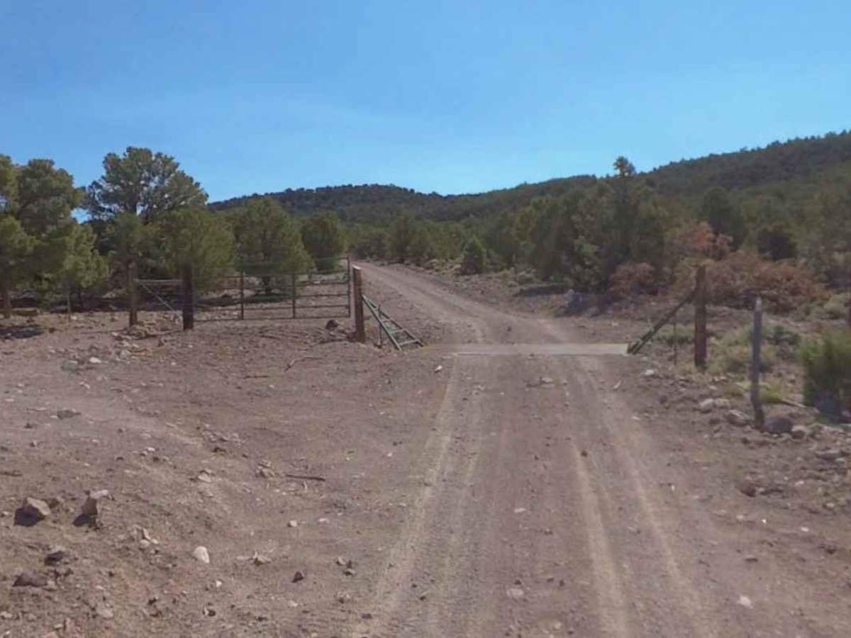
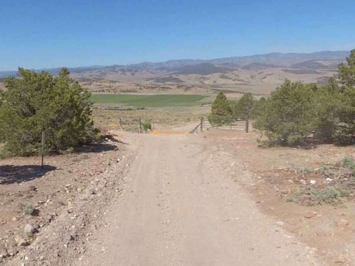
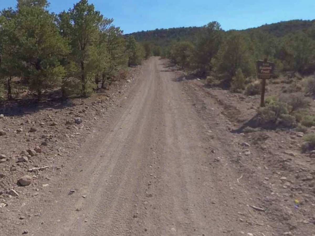
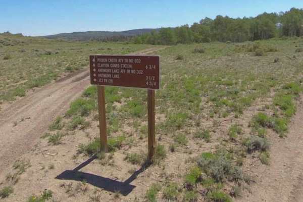
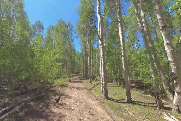
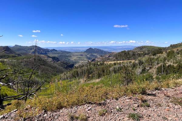
Mud Lake Birch Creek (FS 30234) is a 16.3-mile point-to-point trail rated 2 of 10 located in the Escalante Ranger District of the Dixie National Forest. The trail winds its way along Black Ridge on the western edge of the district overlooking Johns Valley. This trail provides access to multiple street-legal and ATV trails extending to the east. The trail is open to all motorized and non-motorized vehicles year-round; however, the trail has an elevation above 7500 feet, so it is generally covered in the winter months from December through May. During the winter months, snowmobiles are allowed on this trail. The trail is intermittently graded and can generally be driven by most 2 and 4WD vehicles. The trail is generally two vehicles wide except when going through some of the denser forested areas. There is one section of road that is steep with multiple switchbacks. When traveling from the north, the trail will descend North Creek at the 6.5-mile point. When traveling from the south, the trail will start the ascent up Black Ridge at the 7-mile point. The elevation change is about 1000 feet, which does not make this the ideal trail for rigs towing trailers. The region is characterized by a high-desert landscape dominated by sedimentary rock, including colorful sandstones, shales, and limestone, sculpted by intense erosion into canyons, cliffs, and terraces. The region is defined by its dramatic "slickrock" scenery, including deep, narrow canyons, massive Navajo Sandstone cliffs, and remnants of ancient, petrified forests. Dispersed camping is allowed on both sides of the road within 150 feet of the centerline. Cellphone service was intermittent along the trail. The nearest fuel and quick necessities will be the Otter Creek RV & Marina (north on Utah Route 22). The nearest full-service will be Cedar City.