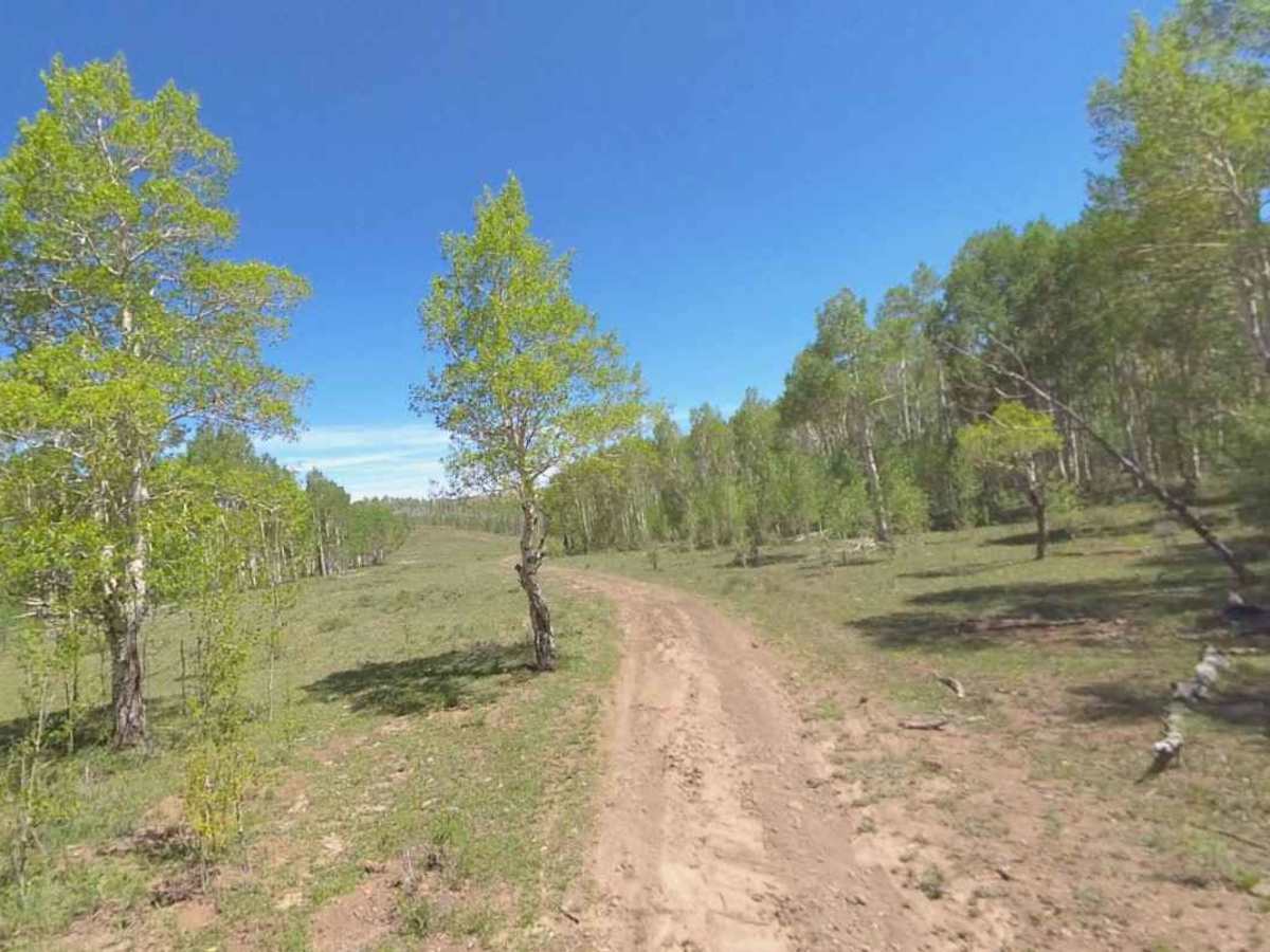
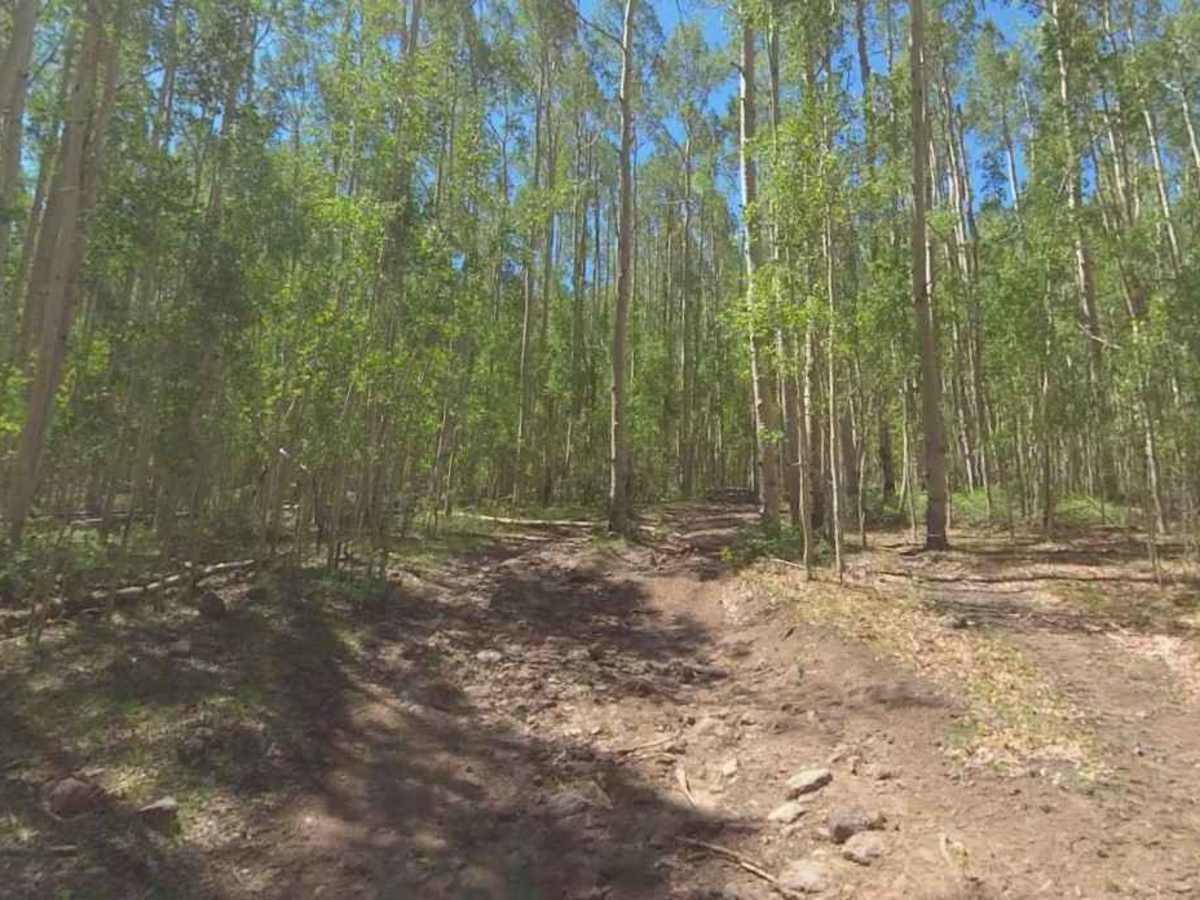
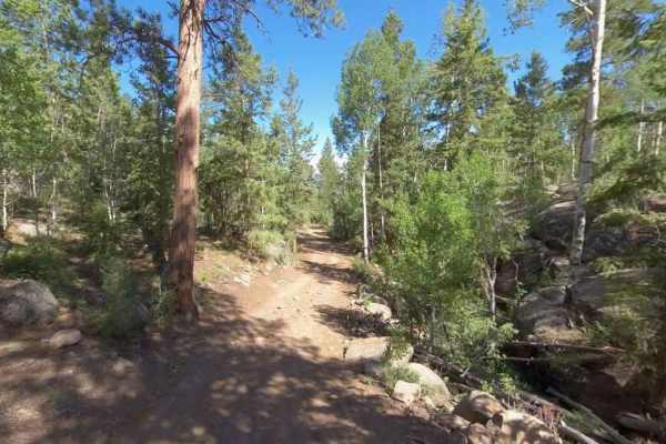
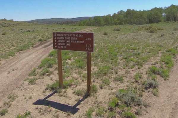
Trail Overview
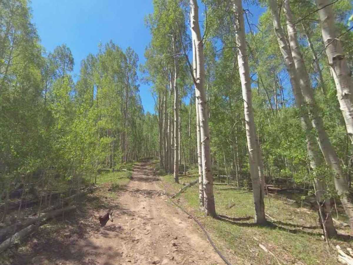
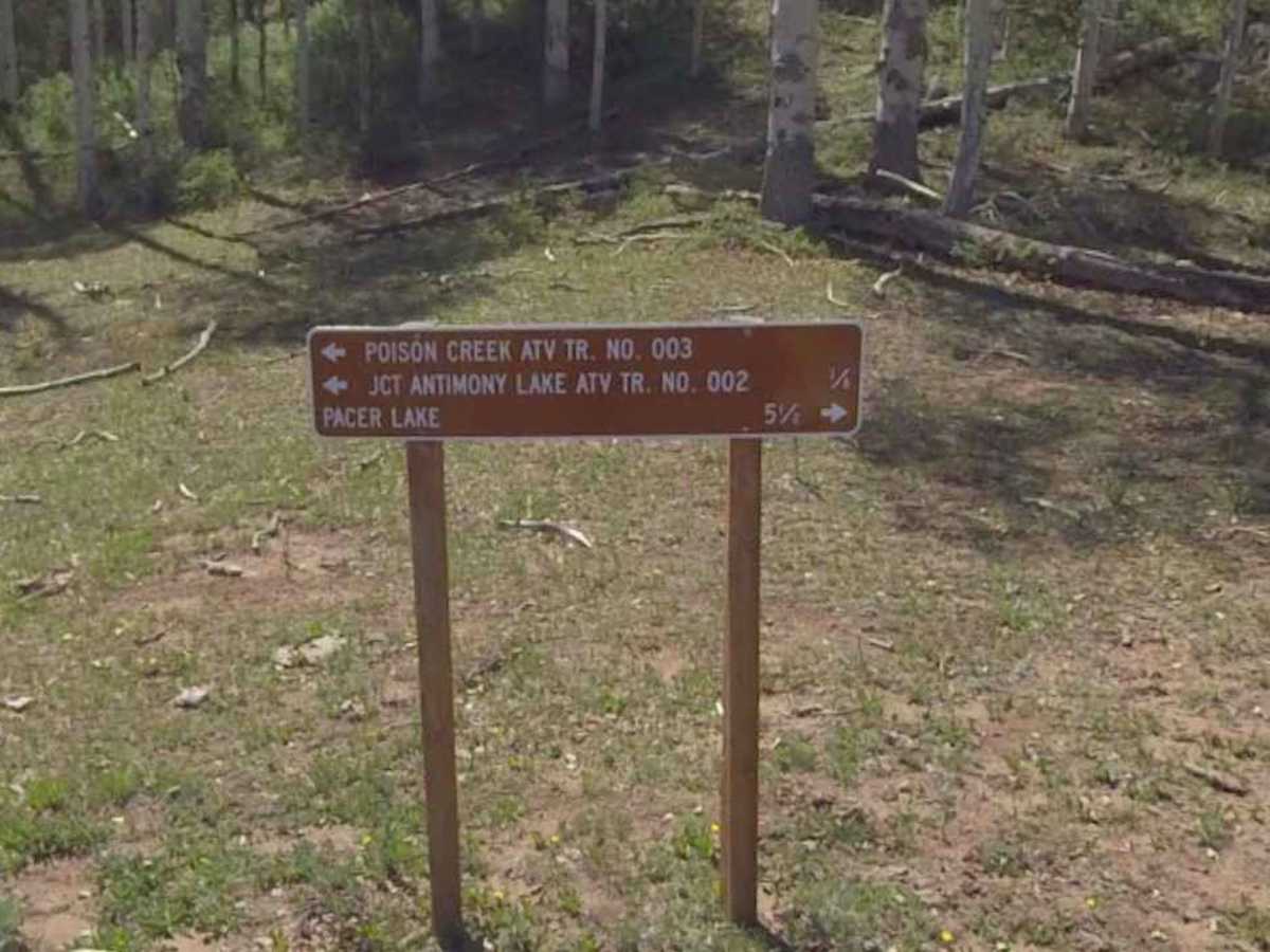
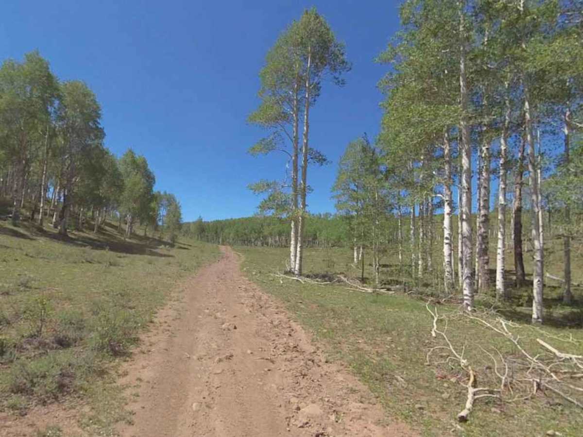
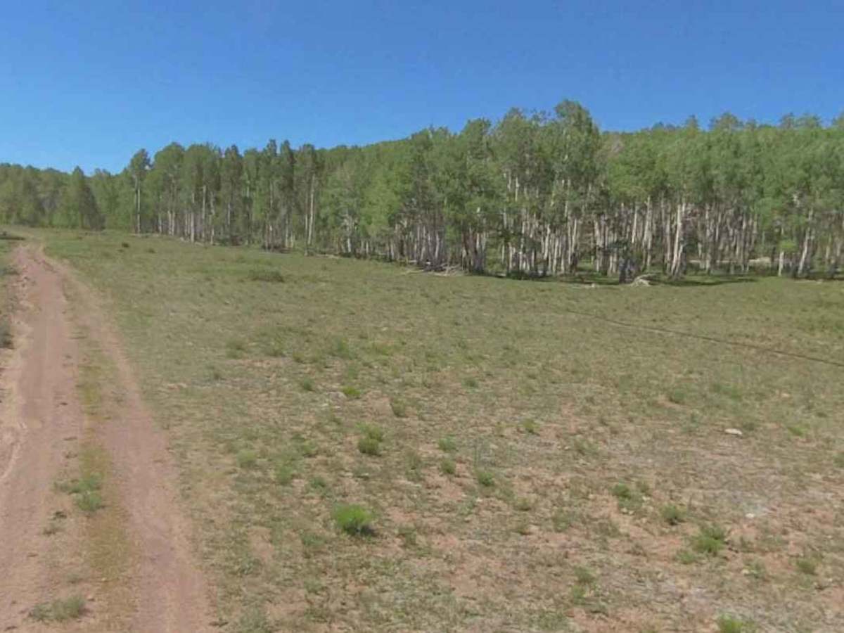
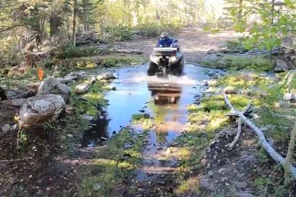
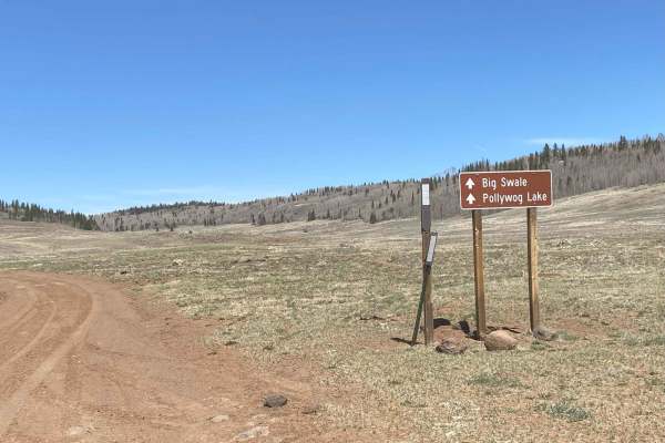
Mud Lake Clayton (FS 30134) is a 6.6-mile point-to-point trail rated 3 of 10 located within the Escalante Ranger District of the Dixie National Forest. This dirt and embedded rock trail provides access to the Dry Hollow valley, which is surrounded by a host of ATV (50-inch or less) trails. The trail starts on the south end at the intersection with Mud Lake-Birch Creek (FS 30234) and terminates at the end of the Dry Hollow meadow. The trail does continue into the wooded area, but from this point on is restricted to ATVs (50-inch or less). Although the trail is open year-round to all vehicles, the elevation between 8500 and 9700 feet means that it will be snow-covered from early winter through late spring or early summer. Snowmobiles may use this trail in the winter months. Dispersed camping is allowed within 150 feet of the road centerline. From the intersection with the Poison Creek ATV trail through Cougar Hollow meadow is dual use. However, the Poison Creek ATV trail to either the north or south of the meadow is ATV use only. The trail may also be accessed from the Polliwog-Big Swale trail to the north. There was no cell phone reception along the trail. The nearest fuel and quick necessities will be the Otter Creek RV & Marina (north on Utah Route 22) or in Lyman if exiting the forest by FS 30129. The nearest full-service will be Cedar City.
Difficulty
Trail consisting of loose rocks, dirt, and sand with some slickrock surfaces, mud holes possible, no steps higher than 12 inches. 4WD may be required; aggressive tires are a plus.