Pipeline West - FS 60150

Total Miles5.5
Technical Rating
4Moderate
Best TimeSummer, Fall, Spring
Trail TypeFull-Width Road
Accessible By
Open Trail Map

Trail Overview

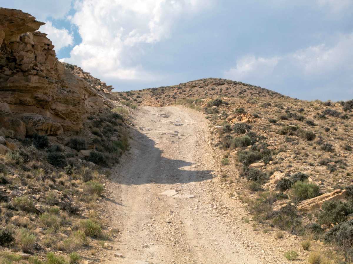
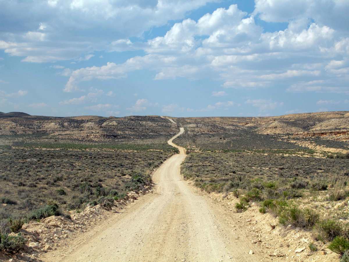
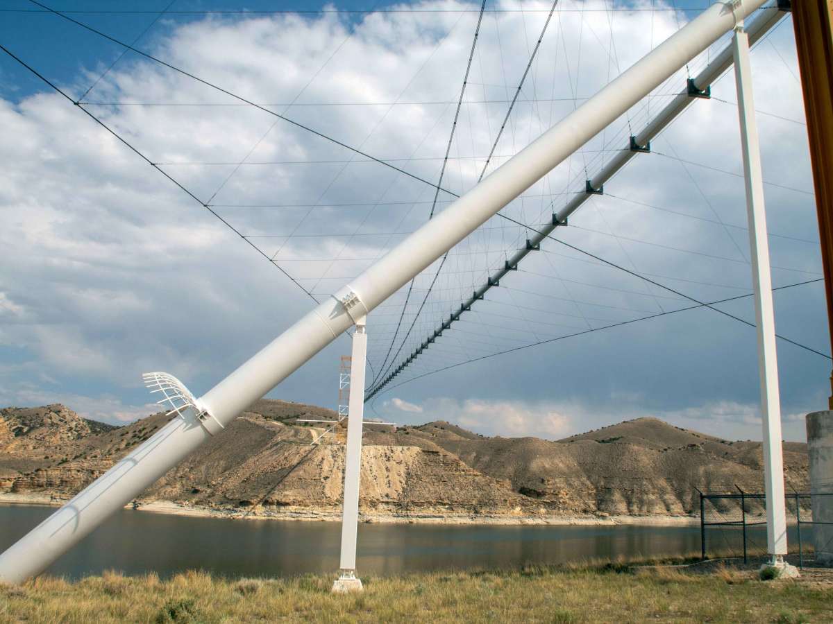
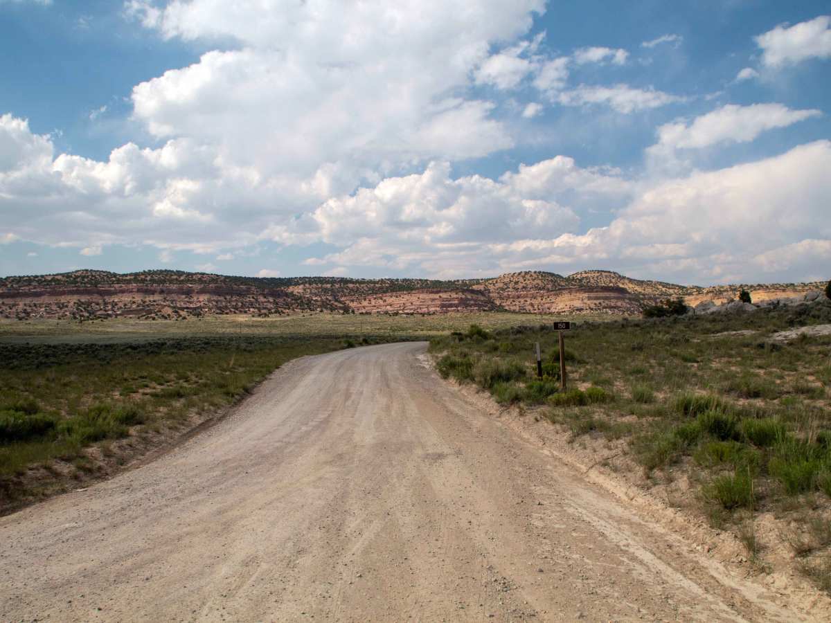
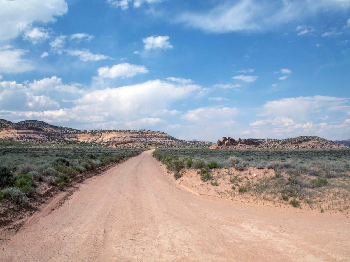
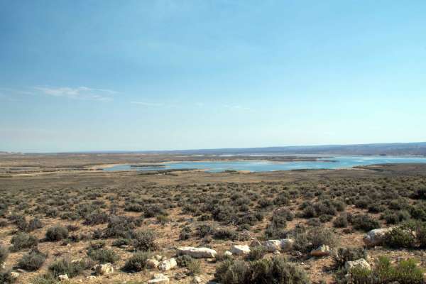
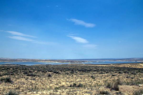
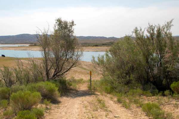
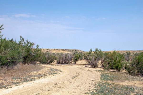
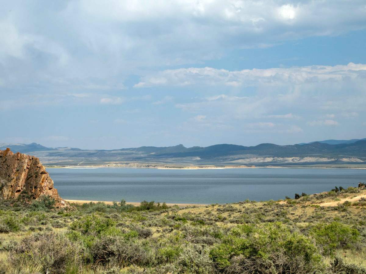
This trail is a scenic route crossing through the desert area after branching North from Lucerne Road. This trail starts on the South end, being a well-maintained trail with no obstacles until it reaches the intersection with Pipeline Access, at which point it turns East and gets rougher until it suddenly drops steeply down a hill, which has become quite rutted out. Be sure to survey the climb and ensure that you are comfortable climbing back up the ruts, as this is the only way to return once you descend. The trail ends at the base of a tall tower that is one end of the Flaming Gorge Pipeline Bridge, which extends across the reservoir. This trail is open to all vehicles year-round, but may be impassable due to snow during the winter and early spring months, and the last section could be impassable when wet. due to the steep and rutted section.

Photos of Pipeline West - FS 60150

Difficulty

All difficulty comes from the last descent down to the pipeline on the Northeast end of the trail. The obstacle is a rutted-out, steep climb that will be easy to descend, but vehicles may struggle to climb back out from the bottom. Having a locker or lots of articulation will help with the climb back out.

Technical Rating

4

Pipeline West - FS 60150 Trail can be accessed by the following ride types:

  • Single Track
  • 50 Inch
  • 60 Inch
  • High Clearance
  • Full Width

Pipeline West - FS 60150 Map

The onX Offroad Difference

onX Offroad combines trail photos, descriptions, difficulty ratings, width restrictions, seasonality, and more in a user-friendly interface. Available on all devices, with offline access and full compatibility with CarPlay and Android Auto. Discover what you're missing today!

Open Trail Map