Trail Overview
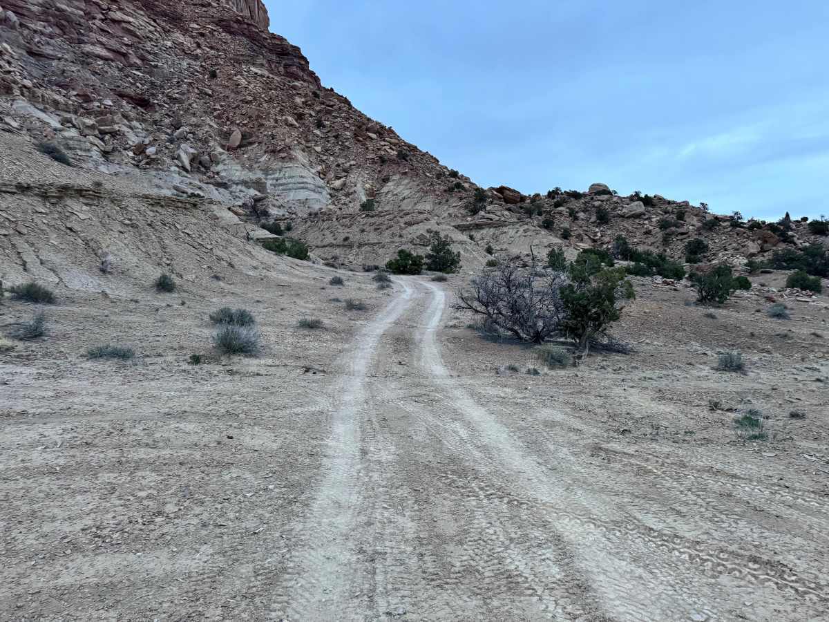
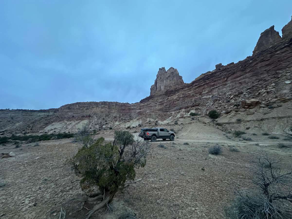
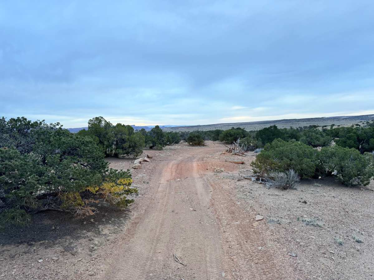
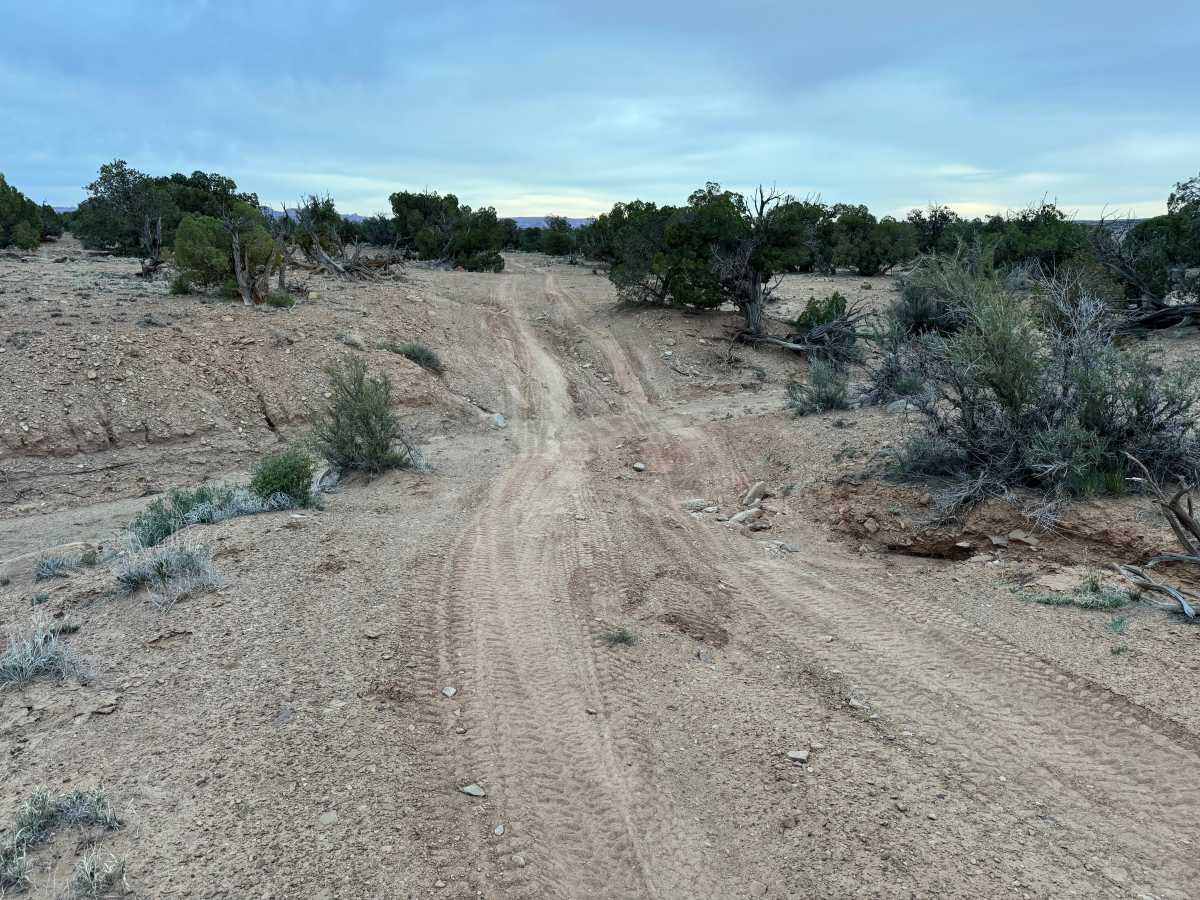
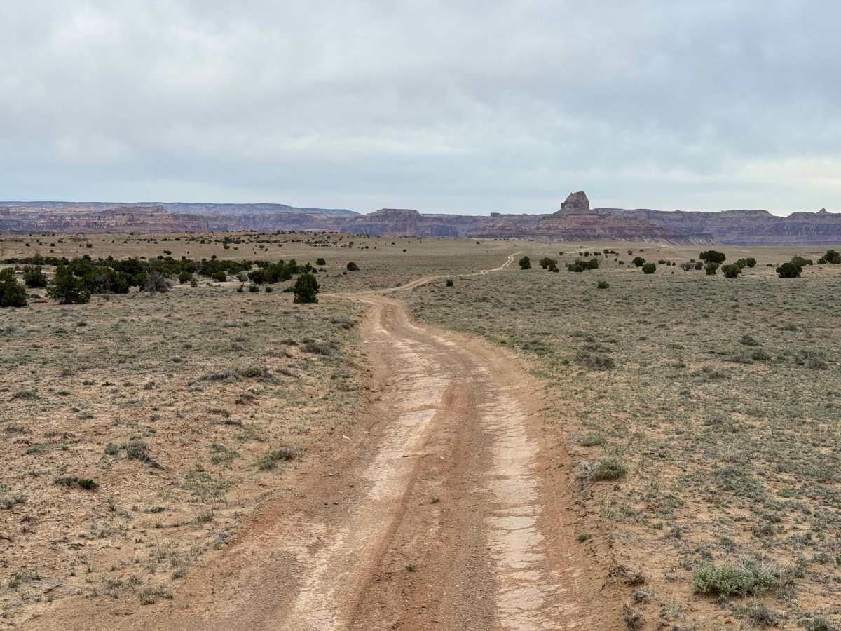
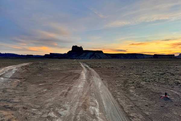
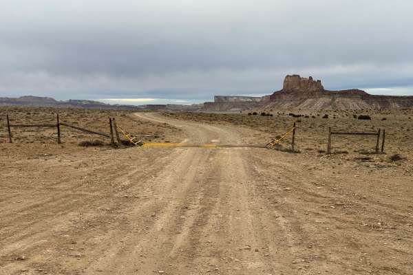
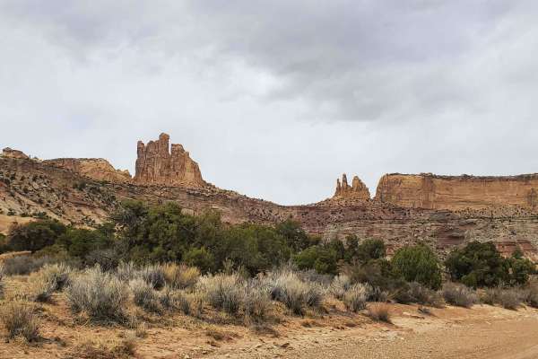
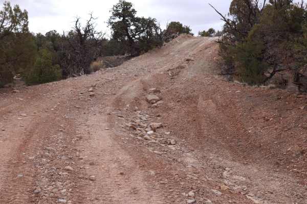
Non-Resident OHV permits apply to ATVs, UTVs, and dirt bikes. Plated street-legal vehicles typically do not need one on legal motorized routes. This dirt and gravel road offers a straightforward drive through open terrain while still requiring attention to changing surface conditions. The route includes stretches of whoops and scattered washouts that can catch drivers off guard if traveling too quickly, so maintaining a controlled speed and watching tire placement is important. While not overly technical, the uneven sections can make for a bouncy ride and require occasional line choice to avoid deeper ruts. Along the way, there are a few dispersed campsites where travelers can stop for a break or spend the night in a quiet setting. As you reach the end of the trail, the scenery opens up with impressive views looking toward Pinnacle Point, which rises to 7,008 feet and stands out as a prominent feature of the surrounding landscape.
Difficulty
This route is a maintained dirt and gravel road with no major technical obstacles. The primary challenges are whoops and occasional washouts that can create a rough ride and require attention to speed and tire placement. In dry conditions, most stock SUVs, trucks, and high-clearance vehicles should have no trouble. Conditions may worsen after rain, increasing the difficulty slightly due to softer ground and deeper ruts.
History
The San Rafael Swell is a massive geologic uplift shaped by erosion into canyons, mesas, domes, and reefs. Many roads in the region were later used for ranching, mining, and energy exploration, creating the access routes travelers still use today.