Trail Overview
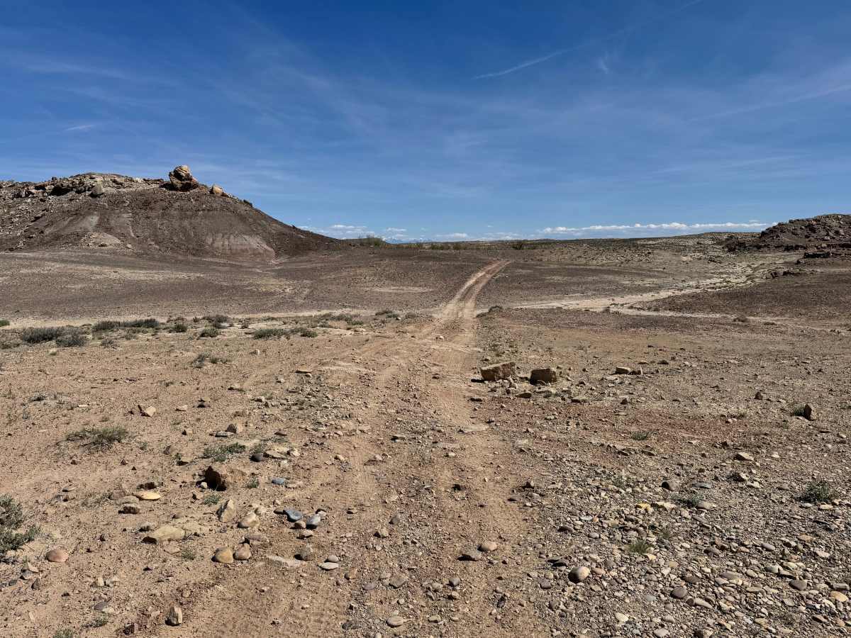
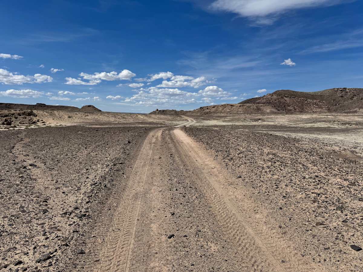
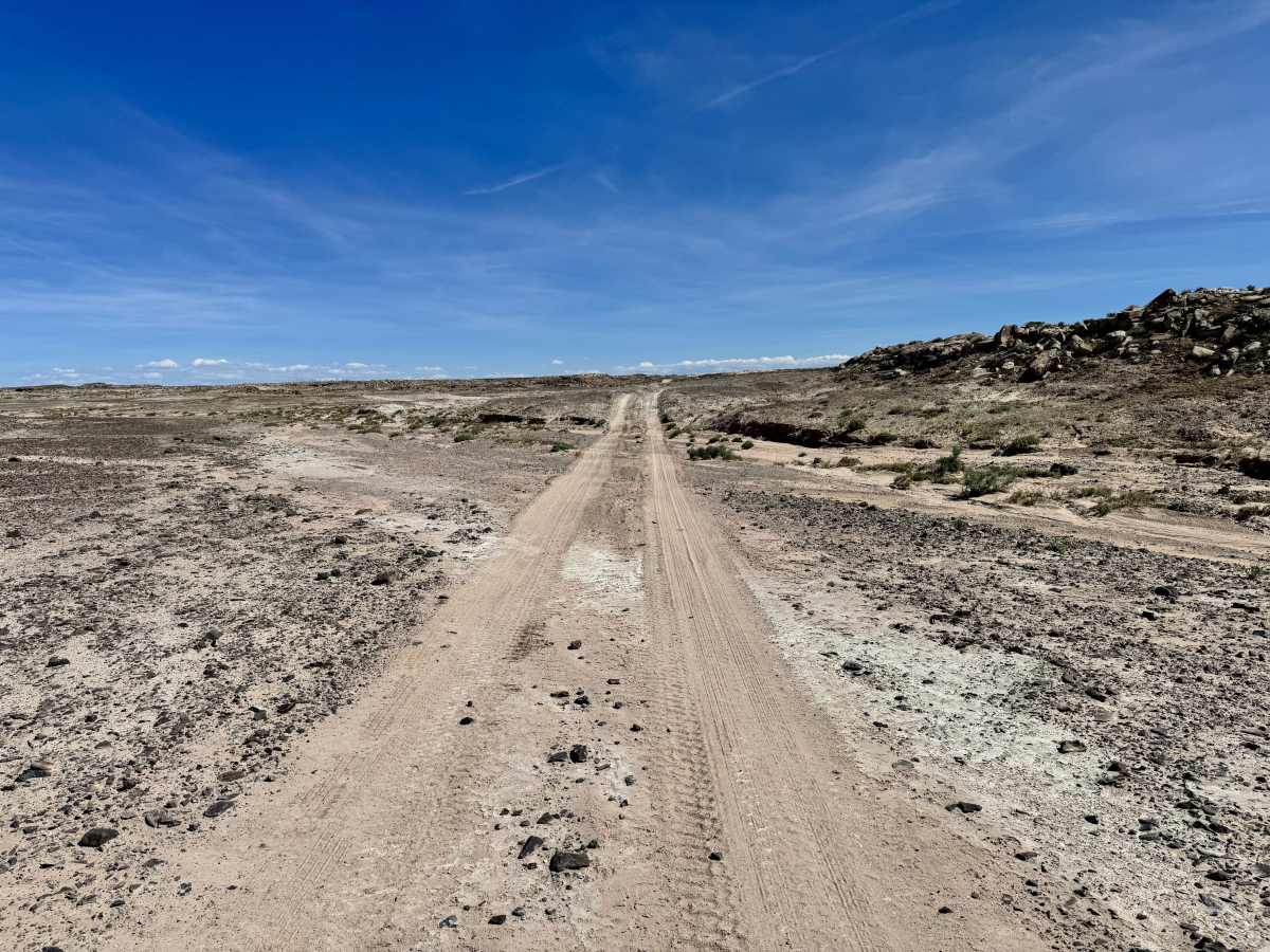
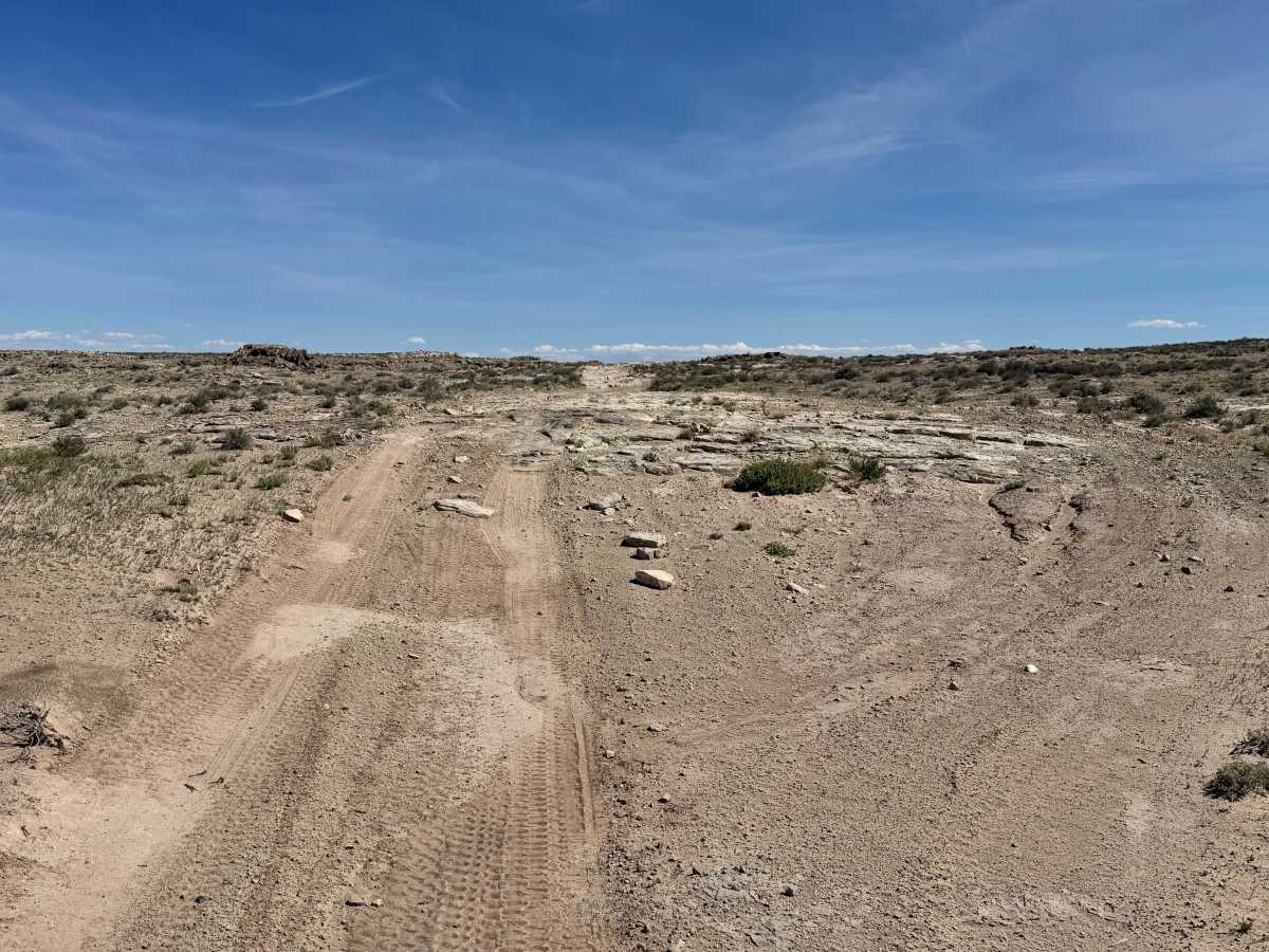
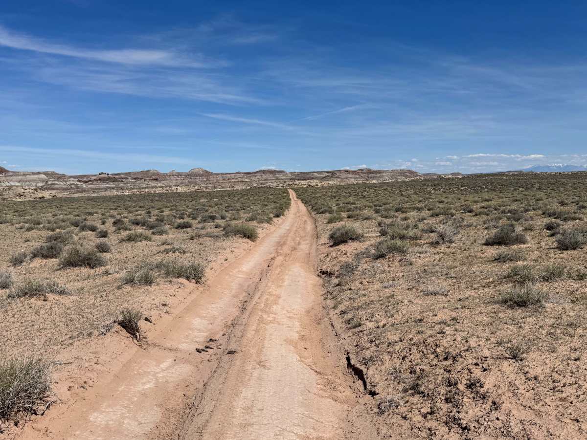
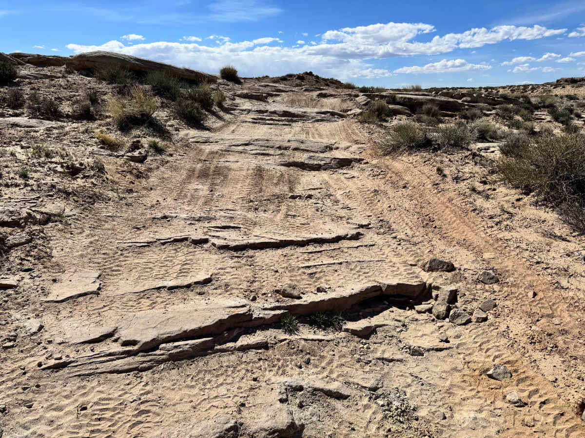
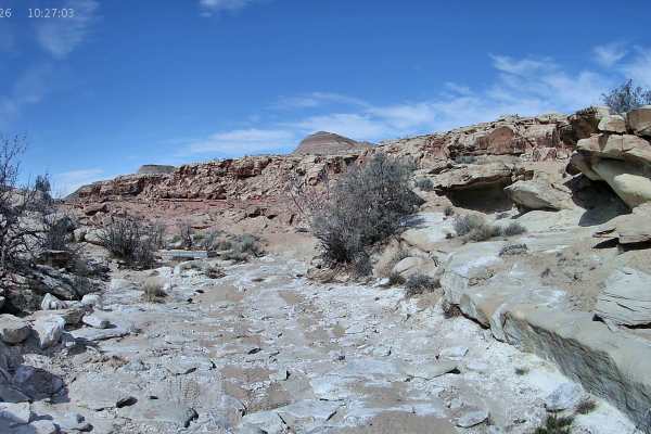
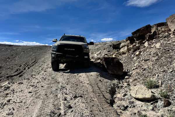
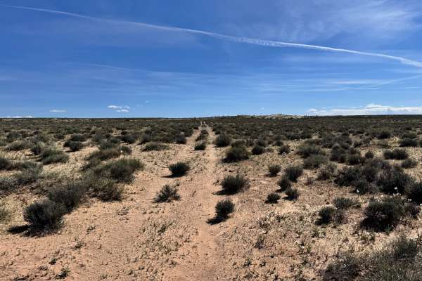
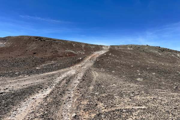
This route serves as the easier alternate option to the Orange Trail Shelf Road and is a good choice for travelers who want scenic access with fewer technical challenges. Much of the trail is fairly mild and can often be completed by many all-wheel-drive vehicles or even some 2WD vehicles in dry conditions. The surface is generally manageable through the main portion of the route, making it approachable for a wider range of drivers. As the trail nears its connection with Crystal Geyser, conditions become rougher and more interesting. Expect whoops, washouts, and small rock ledges up to roughly 12 inches tall that may require slower speeds and more careful tire placement. In this section, the route also travels through a ravine or wash where surrounding rock walls create a unique scenic backdrop. Drivers should remain aware of loose rock and changing terrain while enjoying one of the most visually interesting portions of the trail.
Difficulty
Most of this route is mild and approachable, but the rougher final section near Crystal Geyser raises the overall difficulty. Whoops, washouts, a narrow ravine, and rock ledges up to 12 inches tall require slower speeds and better tire placement. Many AWD vehicles can handle most of the route, while the final stretch is better suited to higher clearance 4x4s.
History
The Orange Trail is part of the legacy of William Louis “Bill” Thompson, a longtime public servant and trail builder honored at the trailhead memorial. Bill helped establish and improve multiple trail systems throughout Utah and worked as an OHV coordinator and trails specialist after retiring from the U.S. Forest Service. This trail was a 15-year project for him and stands as a tribute to his commitment, perseverance, and love of outdoor recreation.