Trail Overview
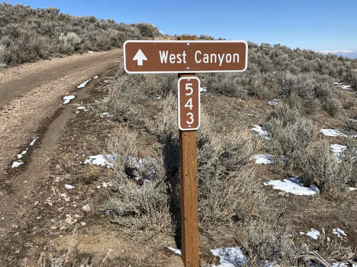
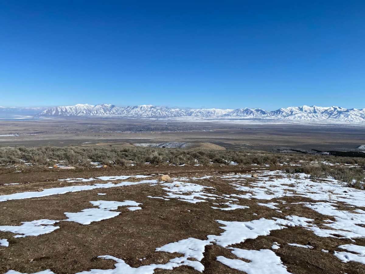
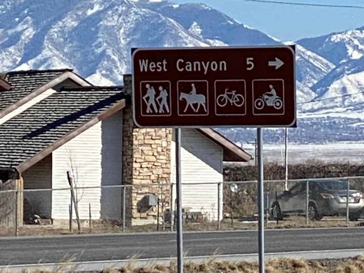
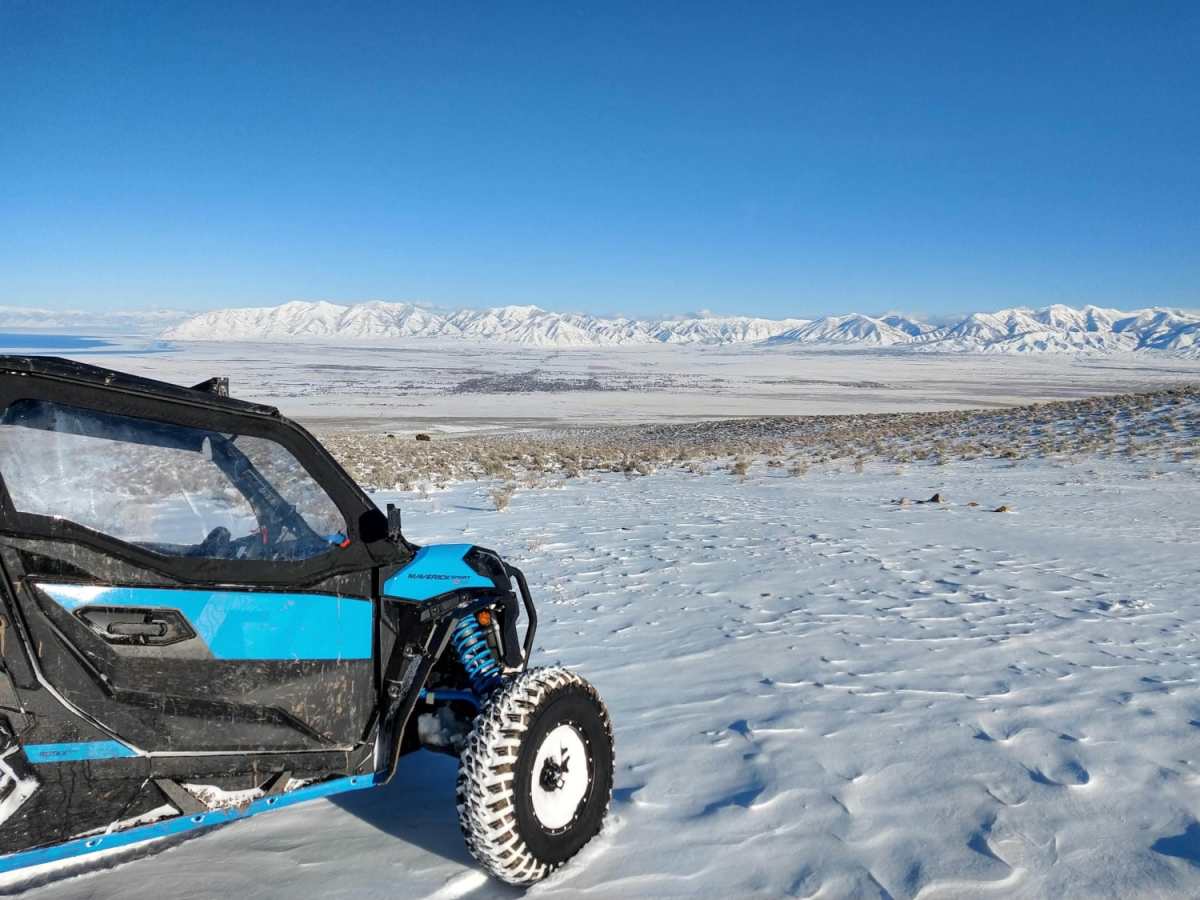
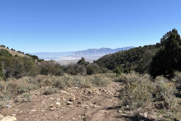
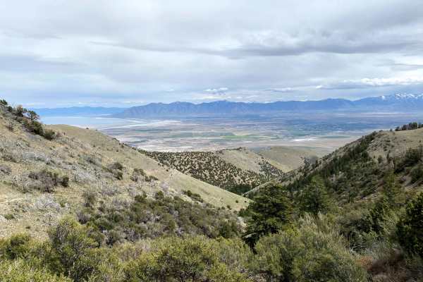
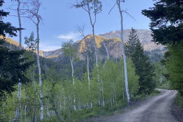
This scenic 4.1-mile point-to-point trail is ideal for drivers of stock four-wheel-drive vehicles, SxSs, and ATVs looking for a slower, quieter alternative route to the West Canyon Trailhead with sweeping views of the Tooele Valley. Descending from a maximum elevation of 6,063 feet down to 4,735 feet, the route offers a bumpy yet manageable journey through the foothills of the Wasatch National Forest. While the main West Canyon Road is heavily traveled, this older, less-trafficked dirt road features loose rocks and uneven terrain that require decent tires and a high-clearance vehicle. Travelers will navigate a steady descent of roughly 1,328 feet over dirt and rocky surfaces, enjoying scenic vantage points of the expansive valley below.
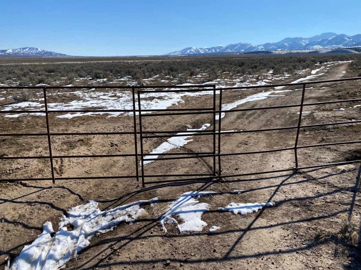
The route passes through private property sections where active cattle grazing occurs, requiring visitors to open and close a couple of cattle gates depending on the season. During dry months, the trail maintains a mild technical difficulty rating of 3, but winter snow and spring runoff can significantly increase the challenge, elevating the technical difficulty to a 5 as mud and deep snow drifts accumulate. After completing the bumpy trek to the trailhead, offroaders can easily loop back via the smoother, more highly traveled main West Canyon Road. Staging is available at a parking area situated just past the first cattle guard on West Canyon Road, and the nearby town of Grantsville provides convenient access to fuel, groceries, and dining.