Trail Overview
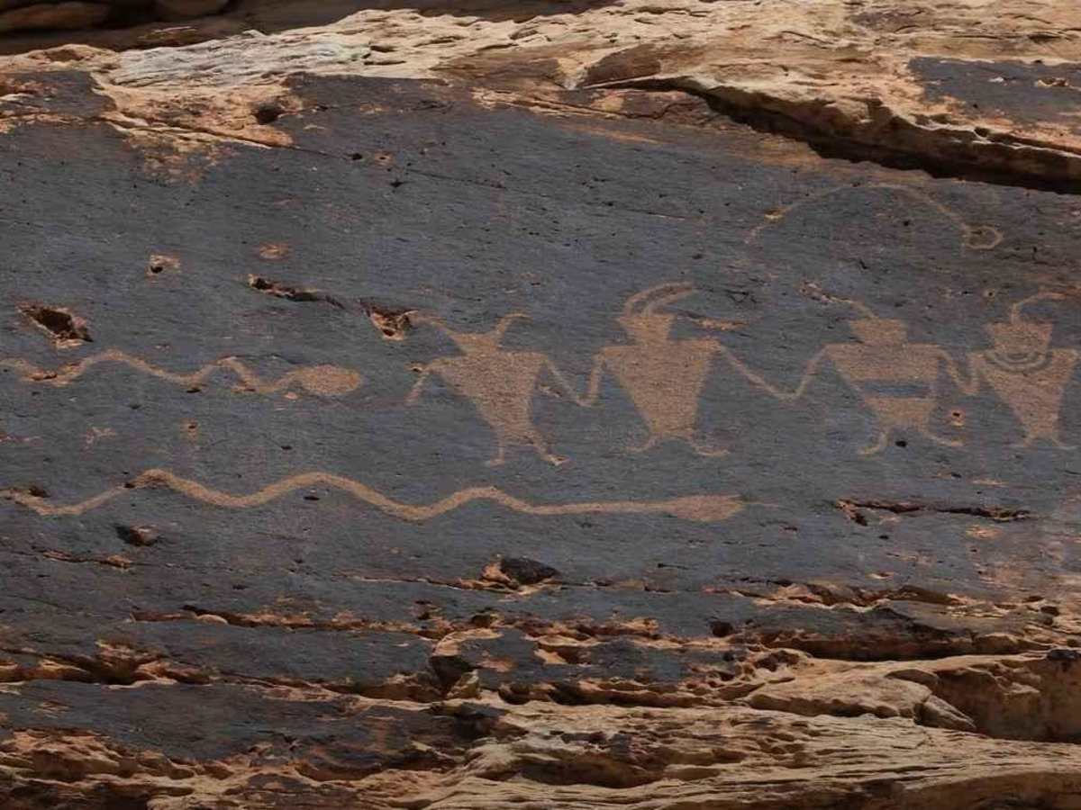
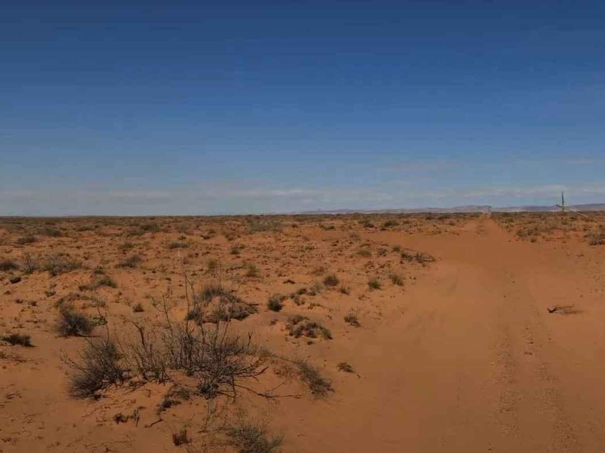
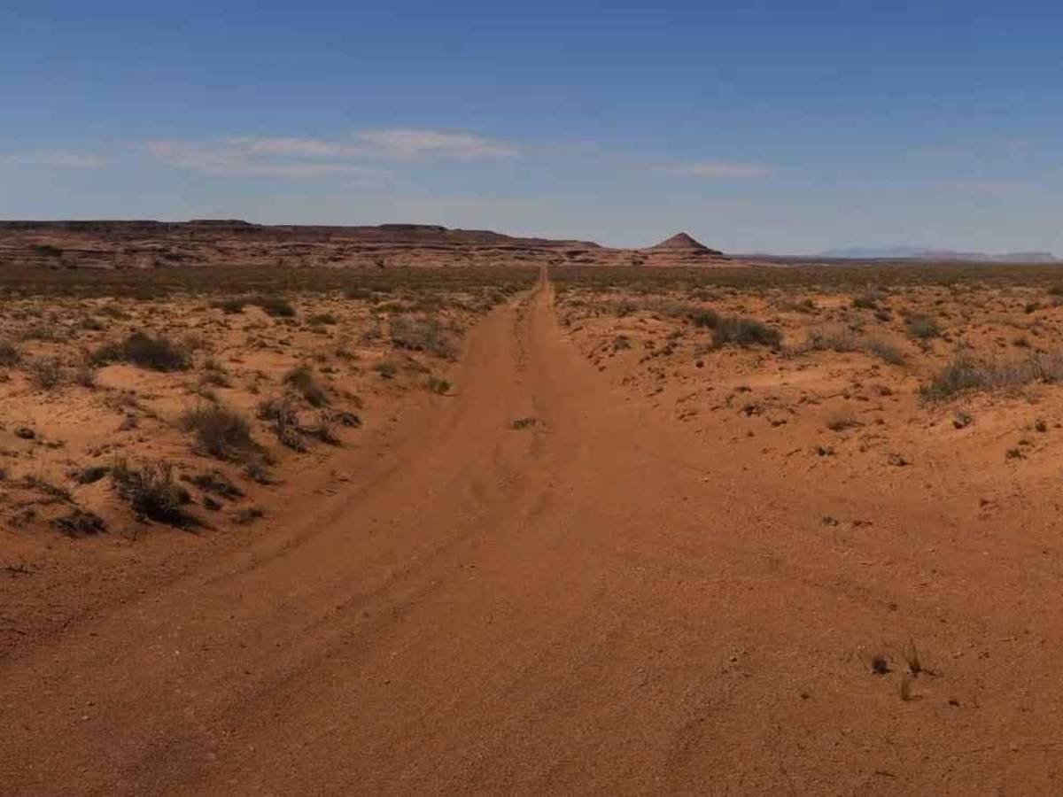
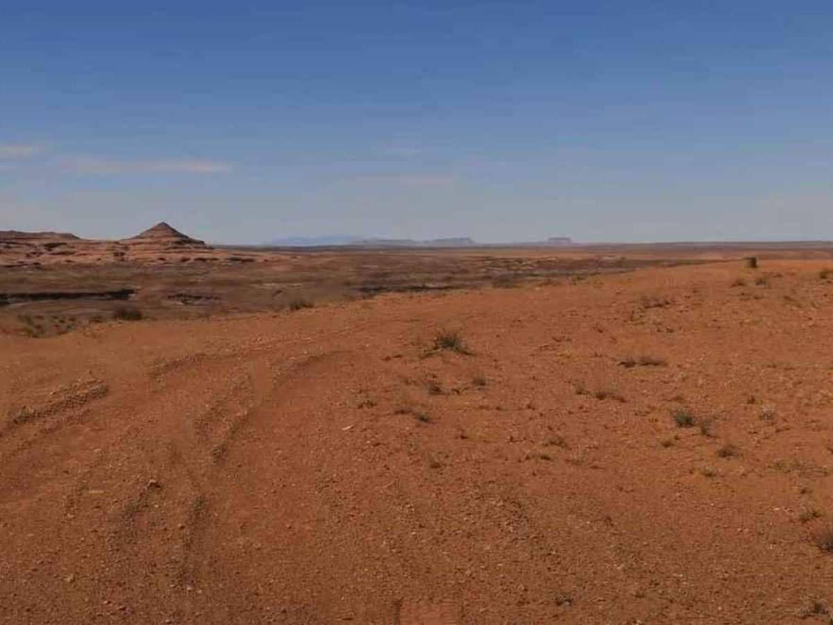
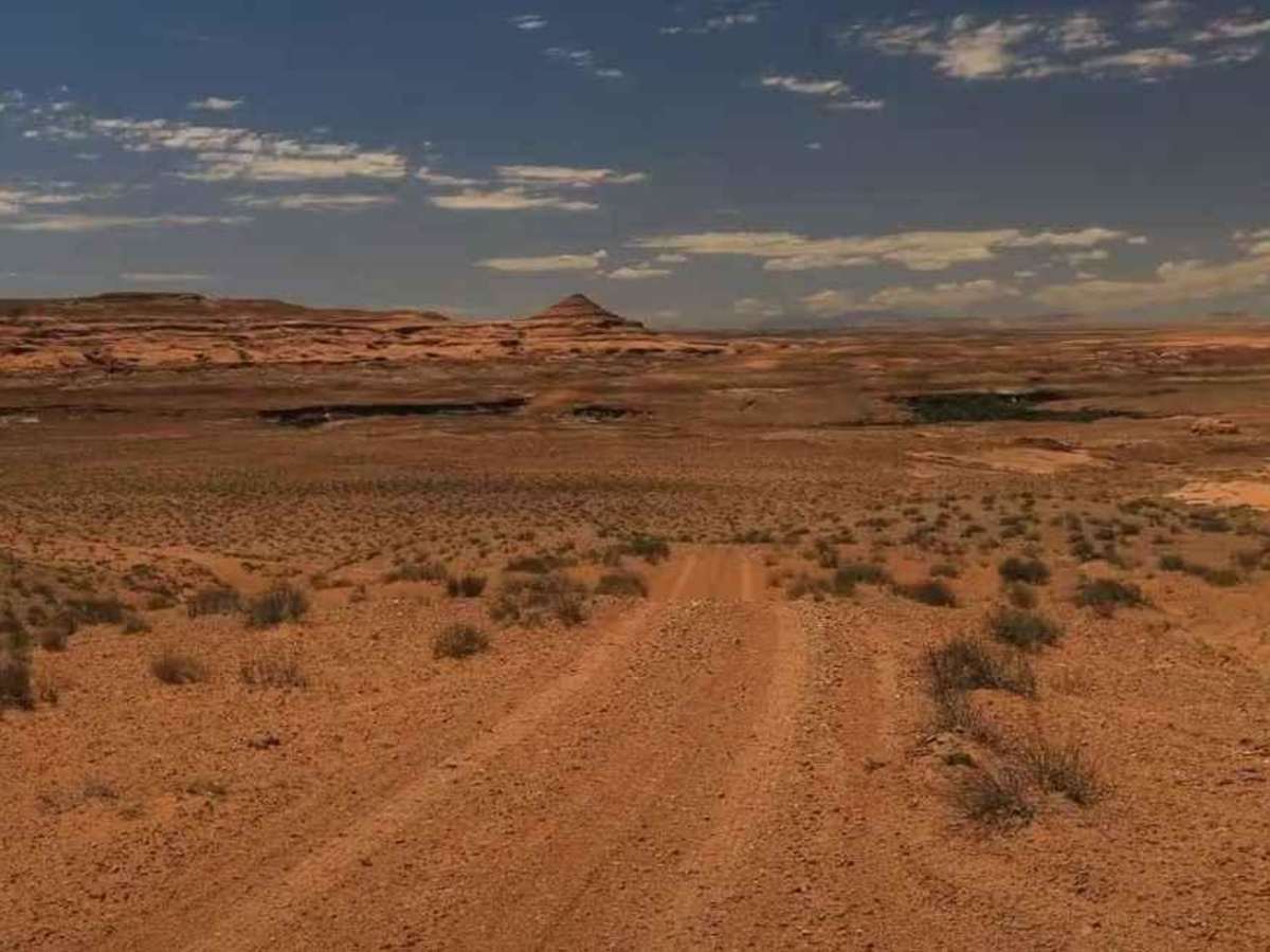
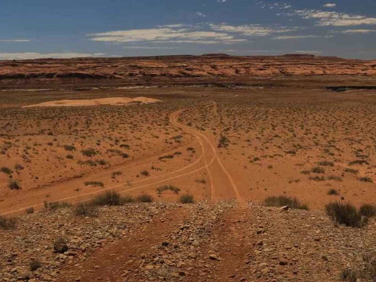
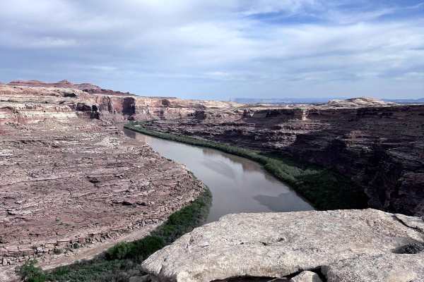
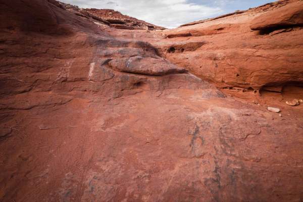
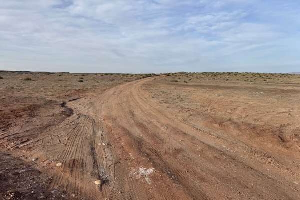
Lower San Rafael River Petroglyphs is a 3.8-mile (7.6-mile round trip) out-and-back trail rated 3 of 10 located in Emery County. This hard-packed dirt trail is a side trail from the Lower San Rafael Road. There are a few spots along this trail where there are embedded rocks. However, any high clearance vehicle should be able to negotiate this trail in good weather conditions. During periods or just after inclement weather, this trail may be very muddy and slippery. The trail dead ends overlooking the San Rafael River. Located below the rim, there are several Fremont-style petroglyph panels. The petroglyphs are located on the second ledge below the rim. Once down on the ledge, move east a little to find these panels. The panels include a petroglyph of snakes and figures that are holding hands. They are located at 38deg43'55"N 110deg12'14"W and 38deg43'55"N 110deg12'13"W. There is no cell service anywhere near this trail, and the nearest services are located in Green River.
Difficulty
Trail consisting of loose rocks, dirt, and sand with some slickrock surfaces, mud holes possible, no steps higher than 12 inches. 4WD may be required; aggressive tires are a plus.