Trail Overview
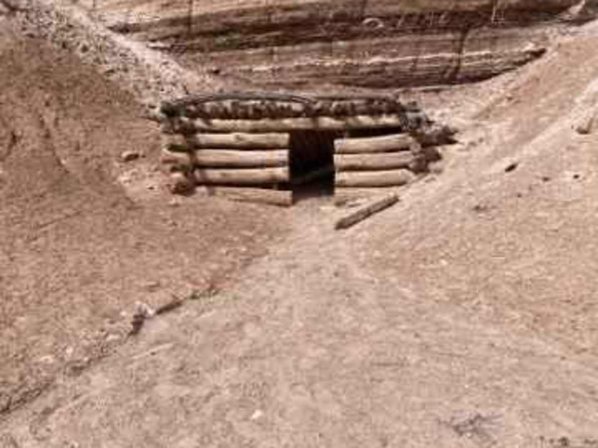
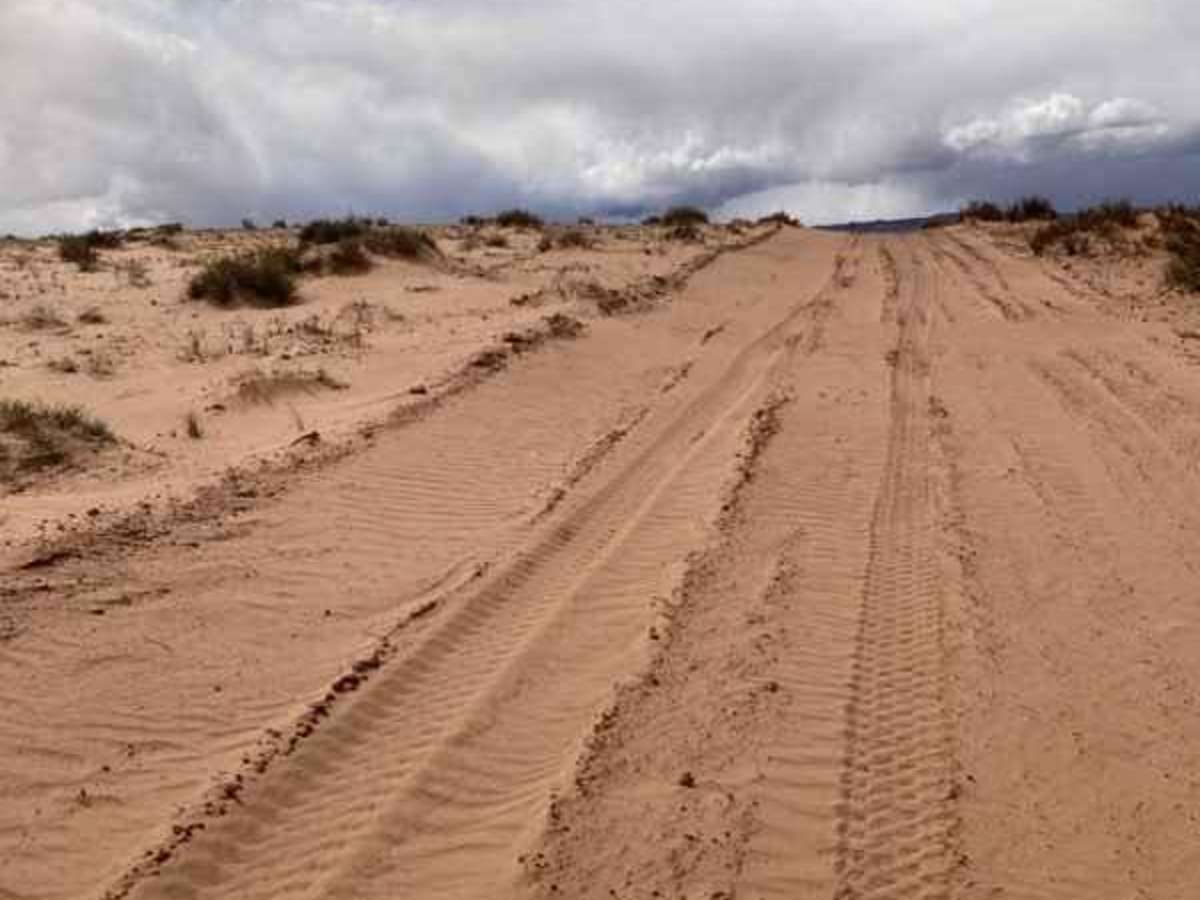
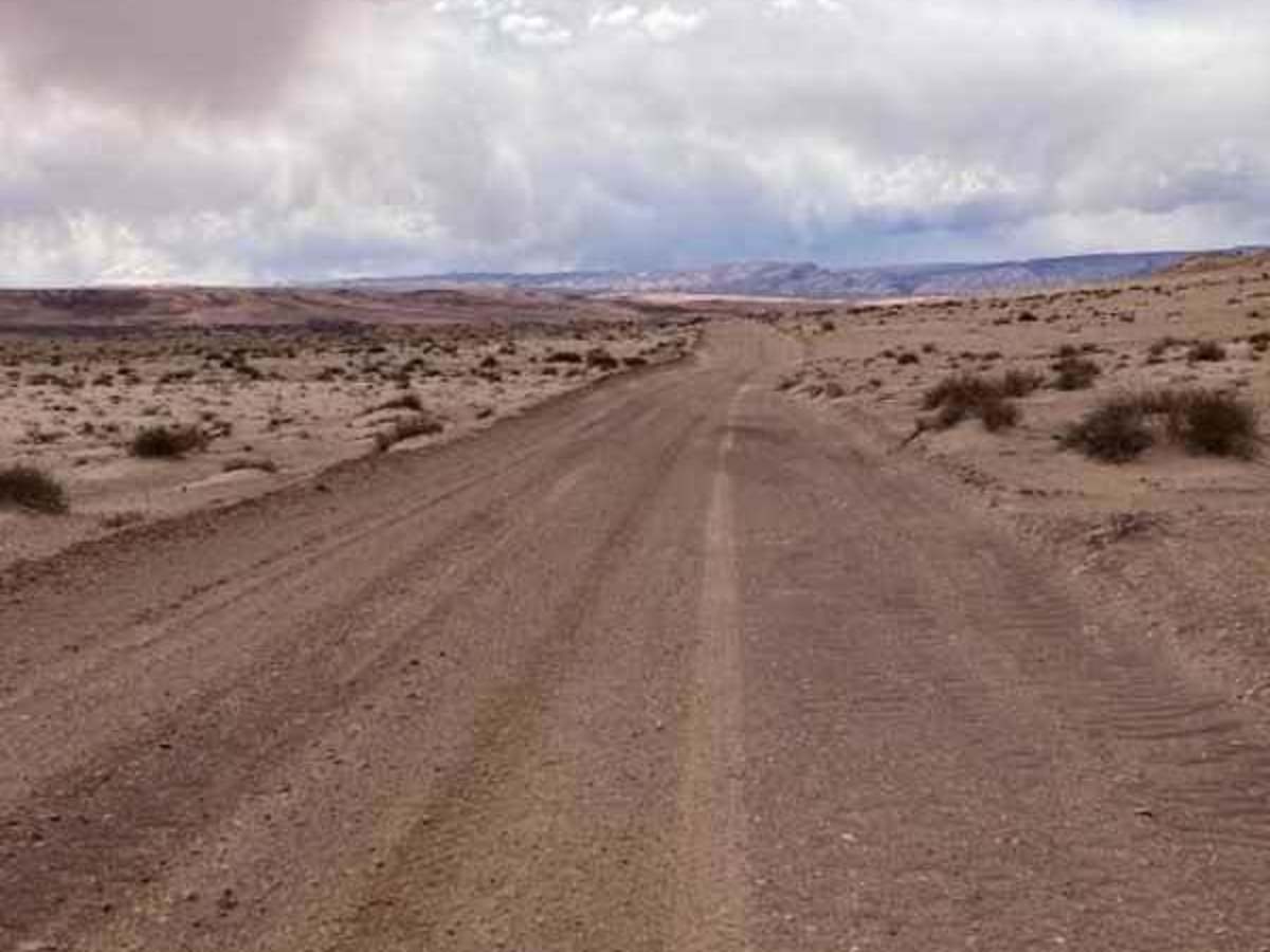
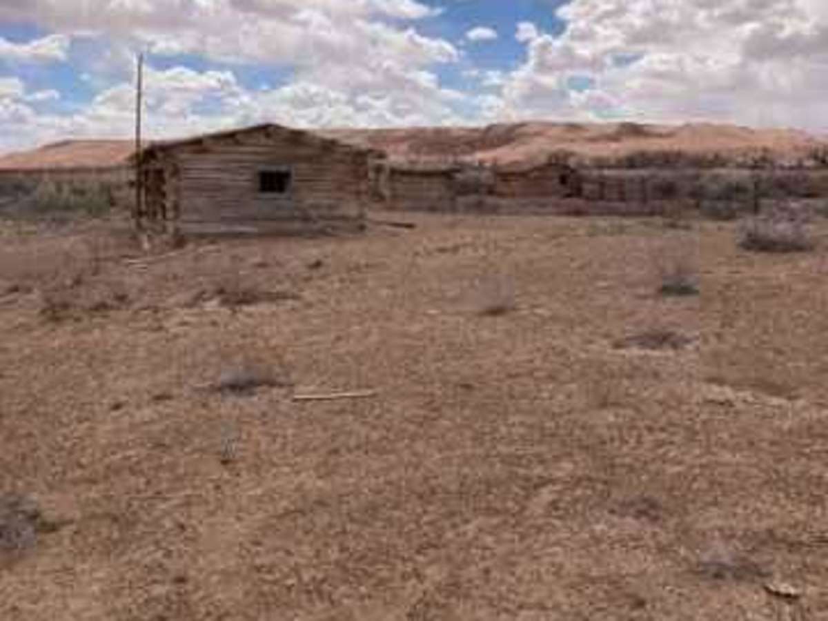
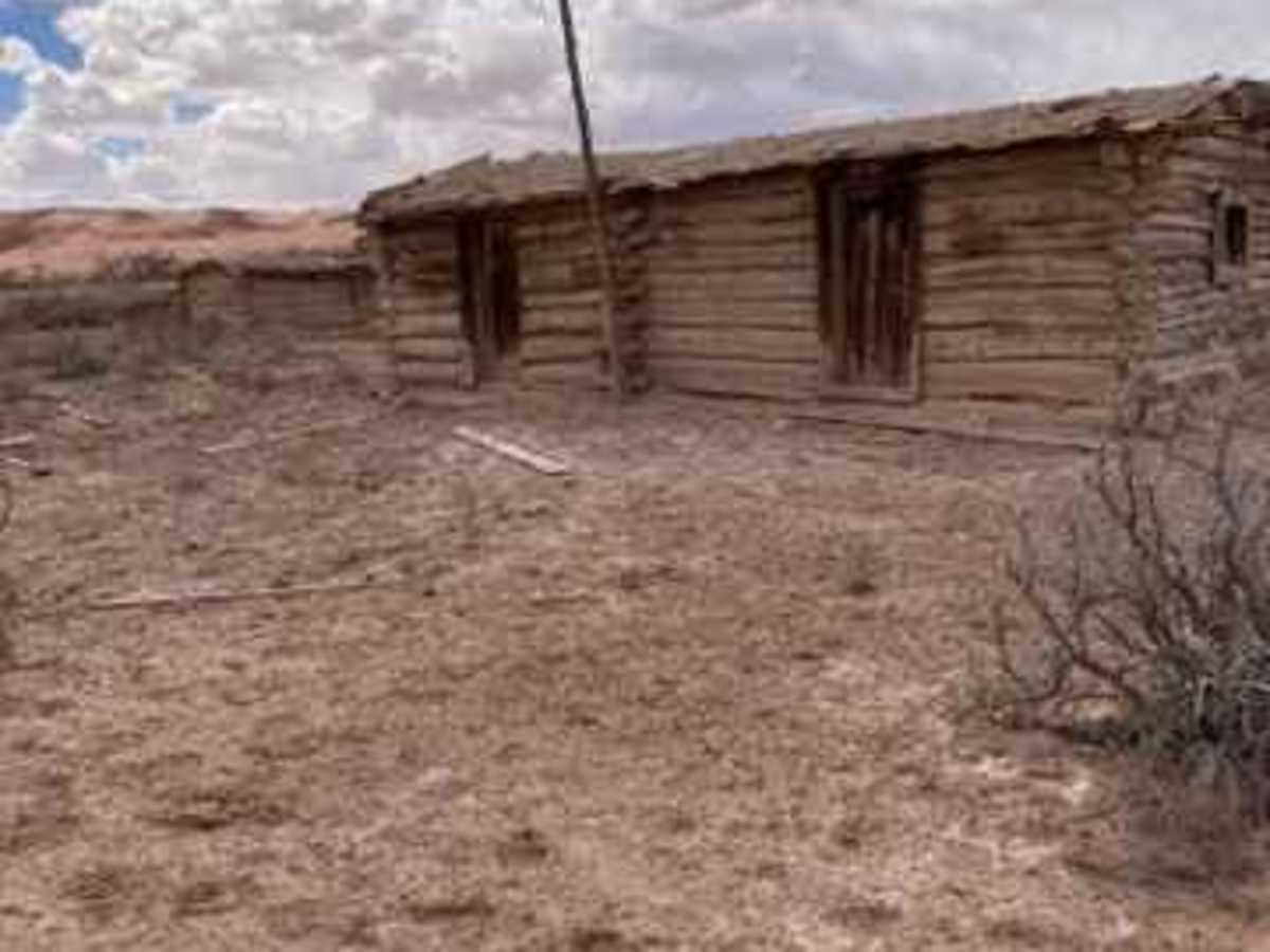
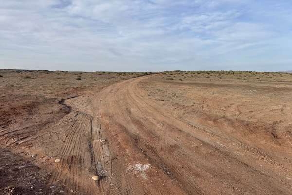
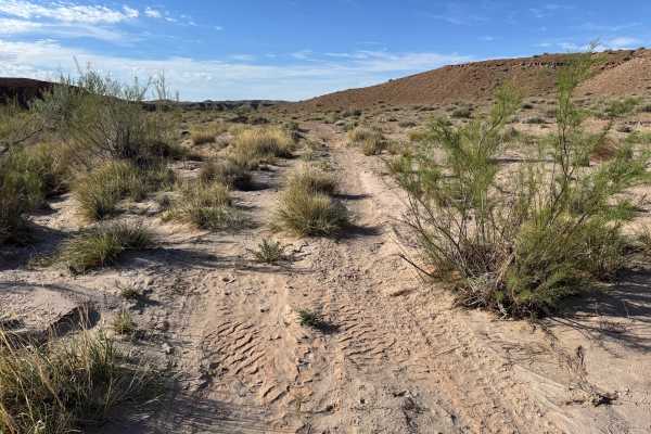
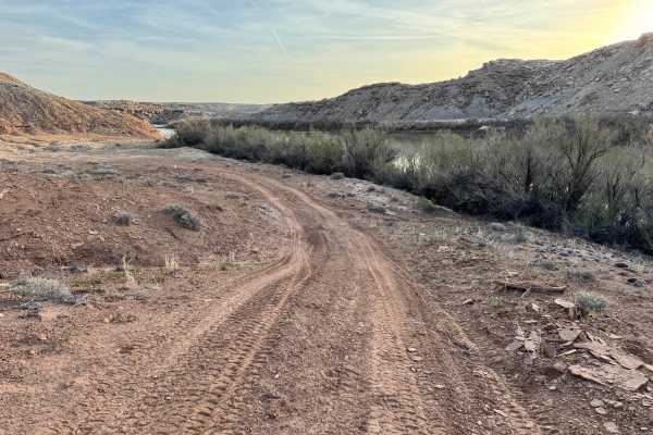
The Gillis Ranch Road is a 12.5-mile maintained graded dirt road that connects state highway 24 to the Lower San Rafael Road. The road has some areas of sand in the center near the old Gillis Ranch; the sand conditions change throughout the year. This road, like all others in the area, may become impassable when wet. This road is a nice connector between the highway and the main Lower San Rafael road with the primary attraction being the old cabins on the west end and at the Gillis ranch site. This road has dry wash crossings scattered along the route that can become eroded by storms and runoff. There are multiple pullouts along the route that would make nice camping spots. Several side roads connect to this trunk road, each offering its own unique adventure. Emery County and the BLM have done a lot of work recently in cataloging and signing the open routes in this area, making it easy to recognize the legal roads and trails. I always enjoy visiting sites like the Gillis Ranch and imagining how life was back when it was a functioning ranch. I hope you find it as interesting as I did.