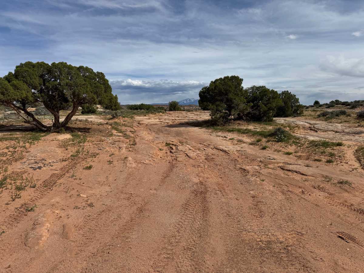
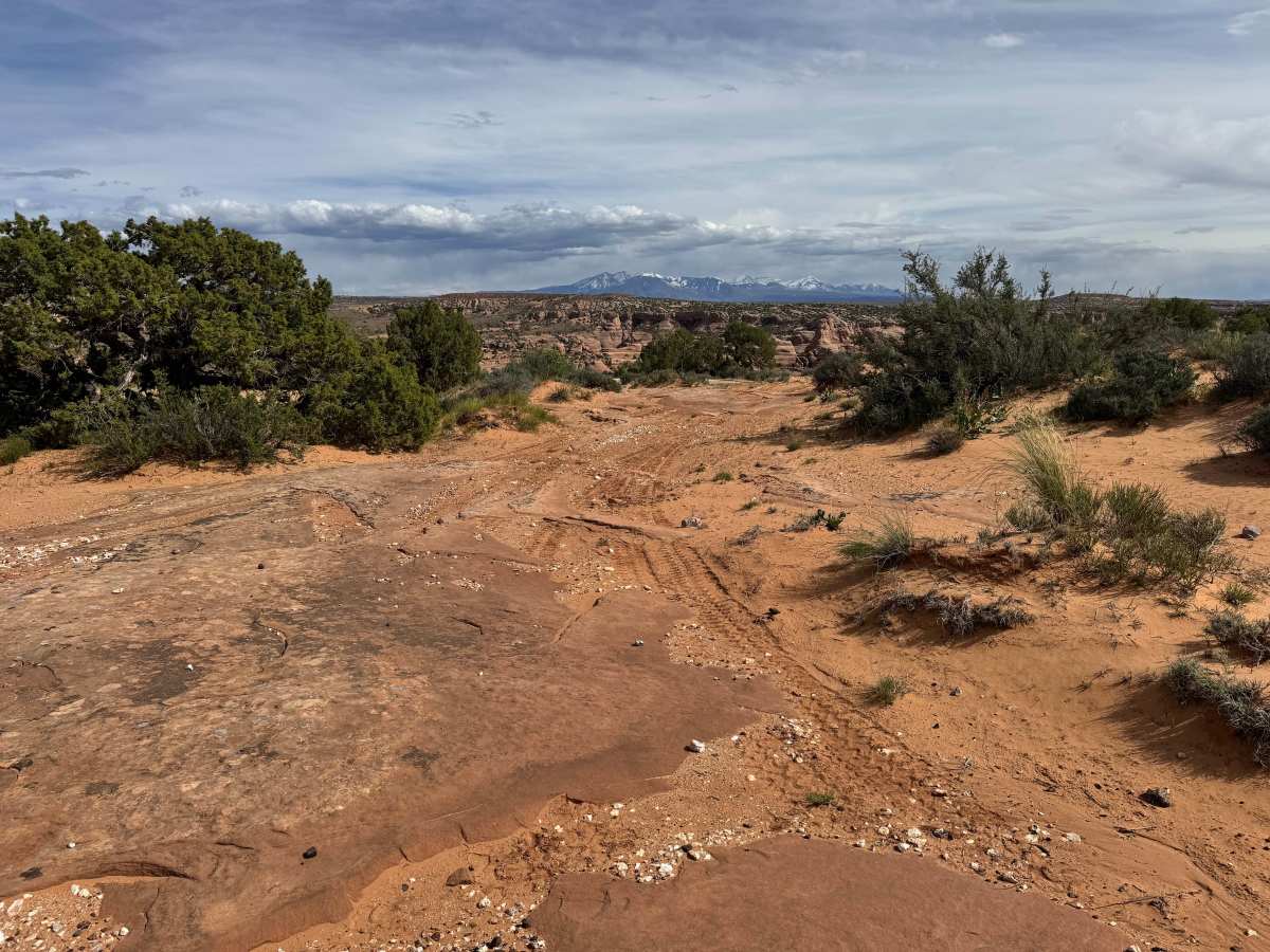
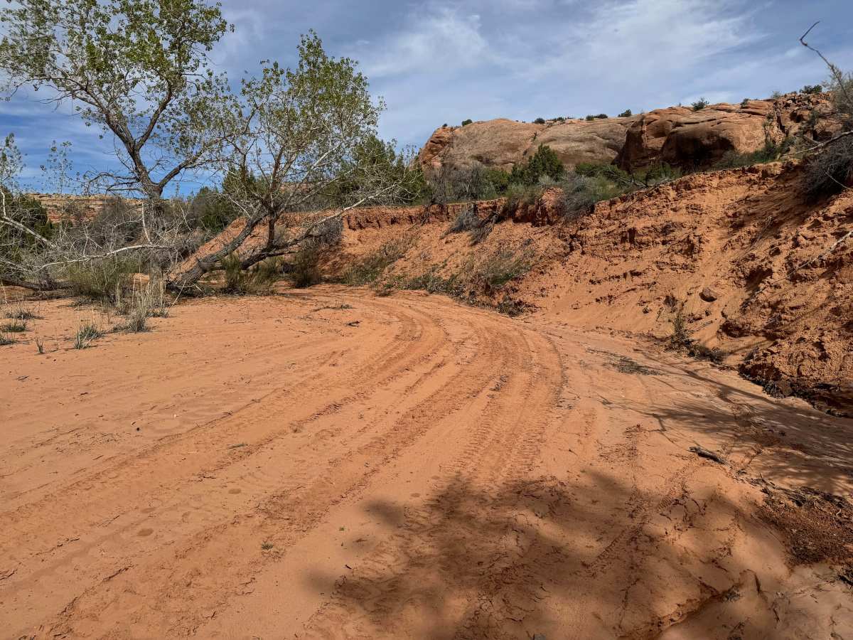
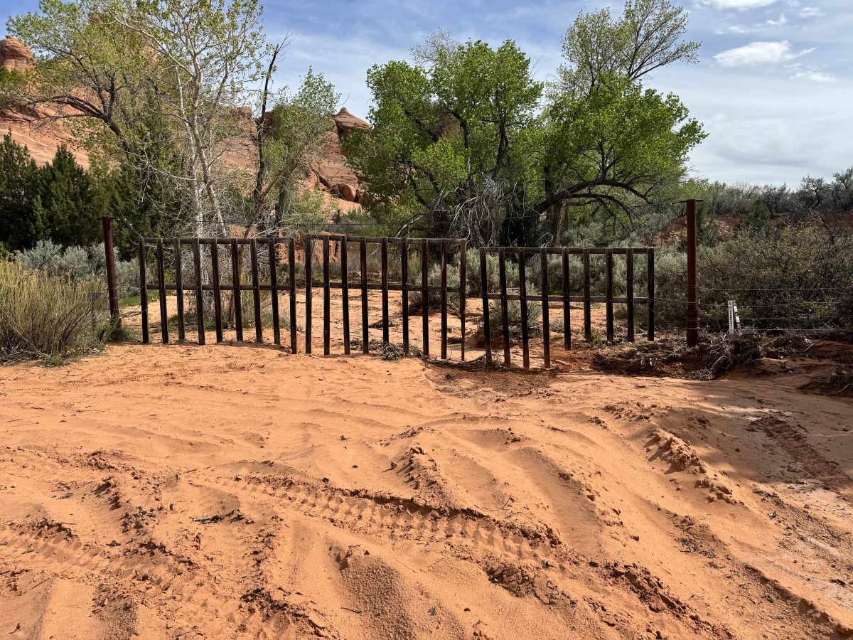
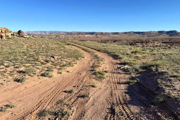
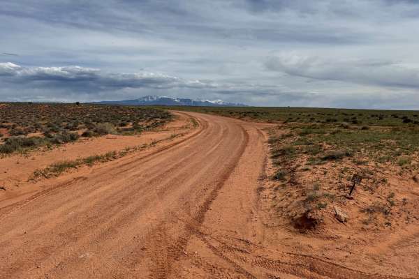
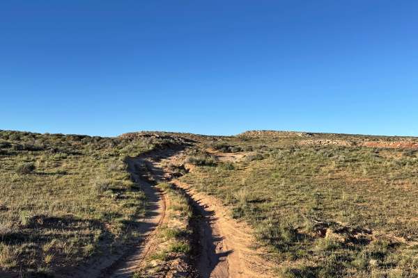
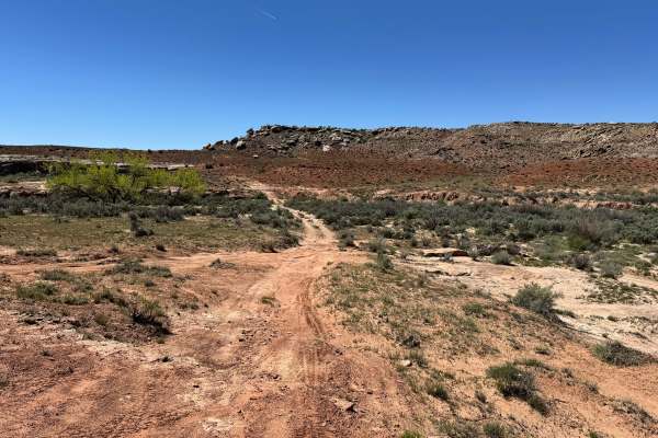
Trail Overview
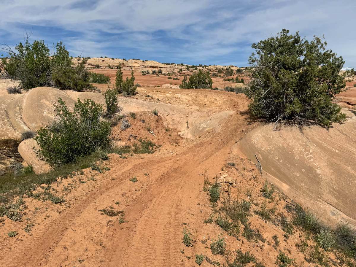
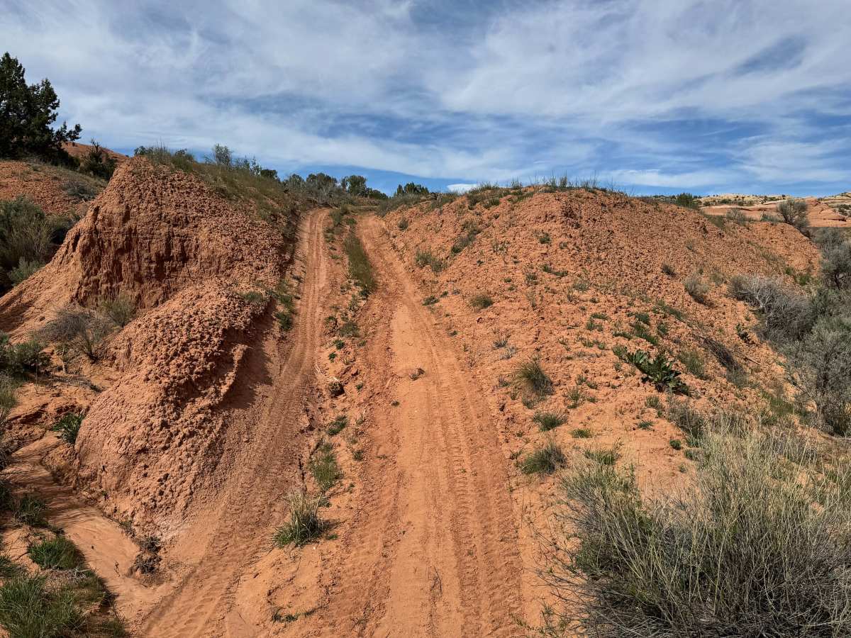
This route branches off Lost Spring Road and offers an easy, scenic drive with a touch of local history along the way. The trail travels through open desert terrain and gradually works its way toward a gated boundary that prevents vehicle access into Arches National Park. While the route is generally straightforward, there are a few slightly steeper grades that add mild elevation changes and may require a little extra throttle in loose conditions. Most capable stock high-clearance vehicles should have no trouble in dry weather. One of the more interesting features along the drive is the evidence of past ranching activity. Old fences, corrals, and livestock pens can still be seen beside the trail, offering a glimpse into the area’s working history before it became a recreation destination. The route ends at the gate, where drivers must turn around and return the way they came while enjoying another pass through the quiet desert scenery.
Difficulty
This route is mostly straightforward, with only a few mildly steep grades and no major obstacles described. It should be manageable for most stock SUVs and high-clearance vehicles in dry conditions. The main focus is scenery and historic ranching features rather than technical driving.