Trail Overview
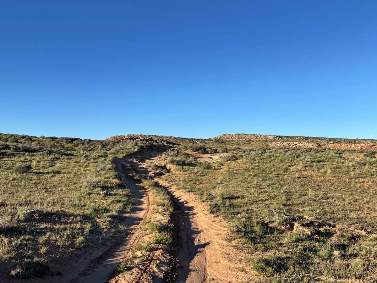
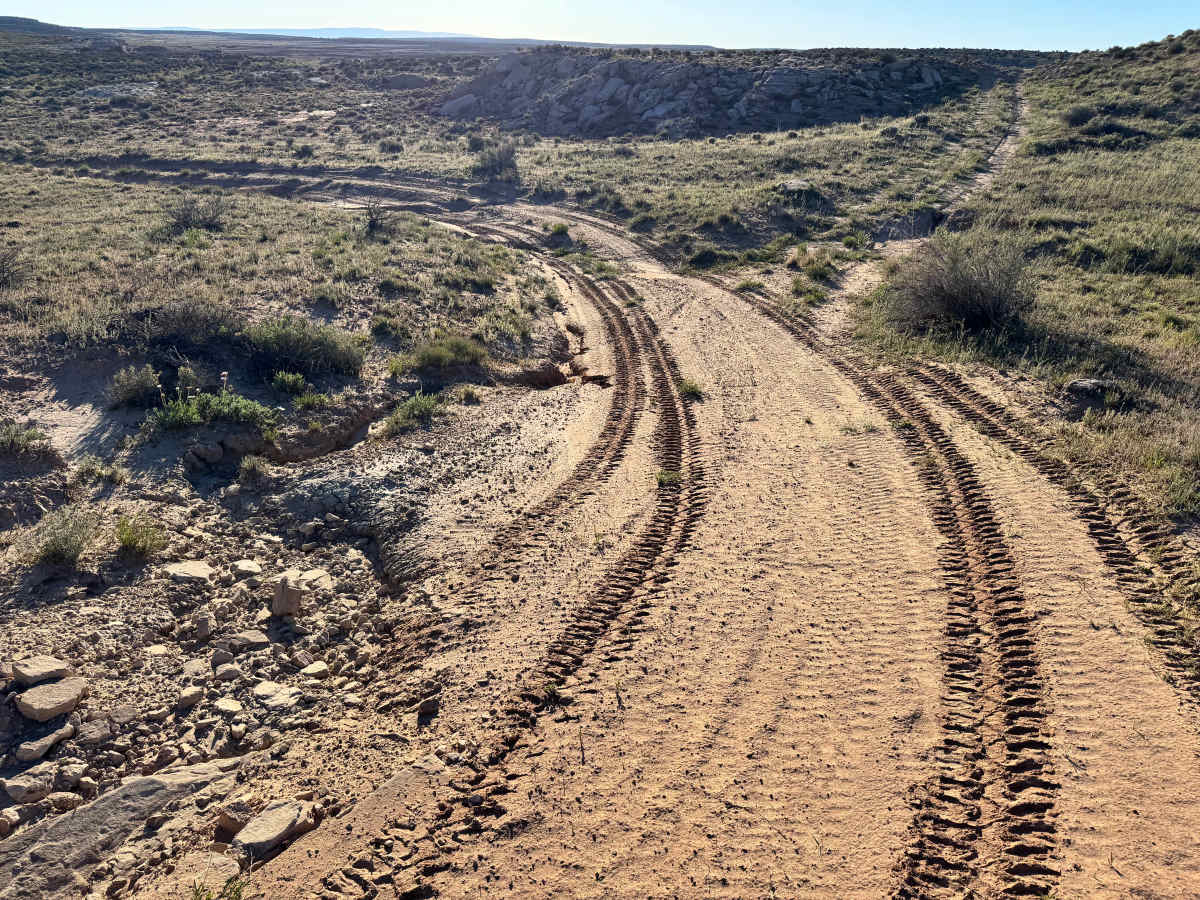
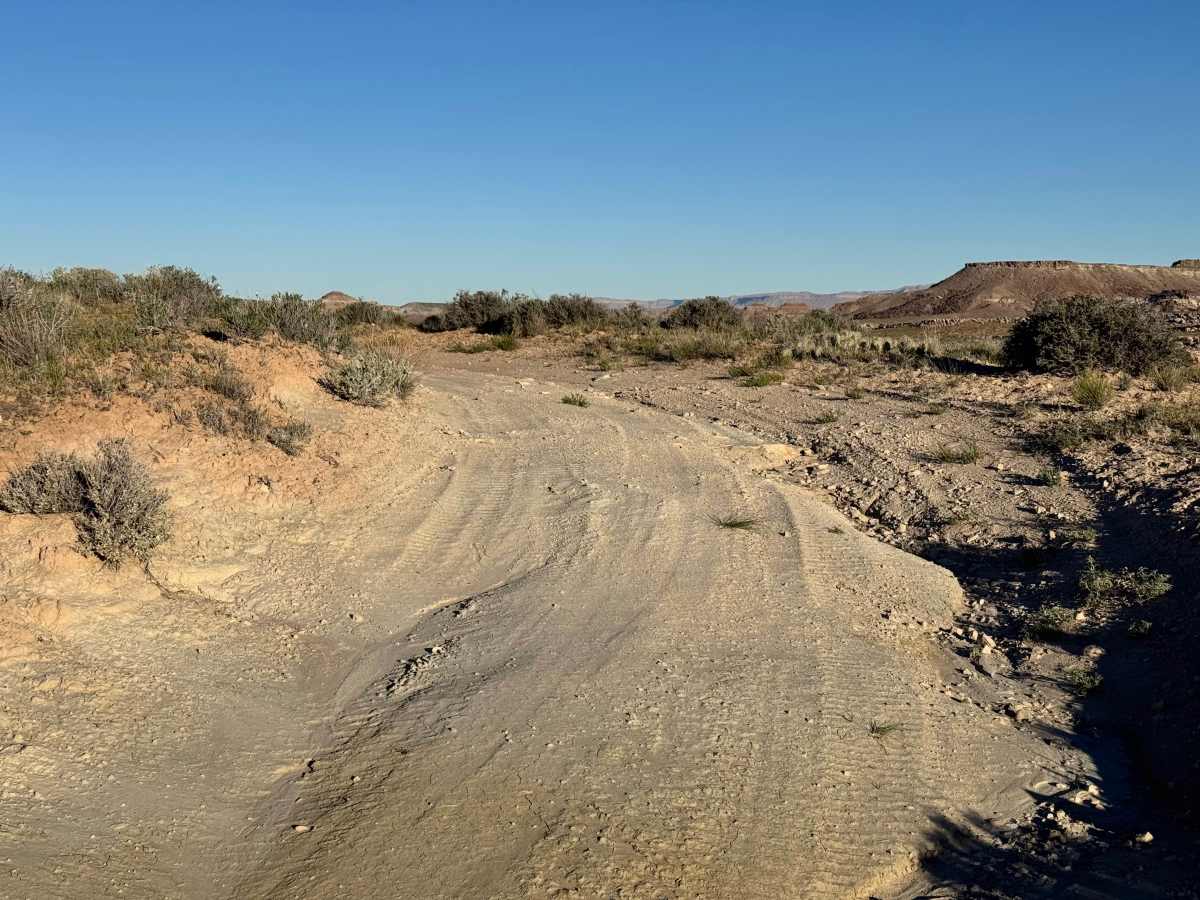
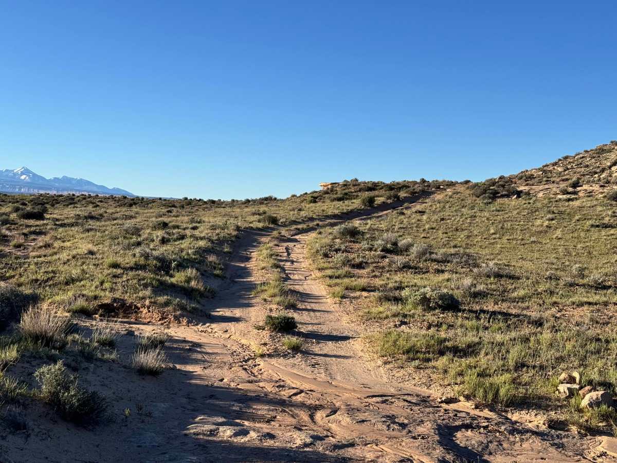
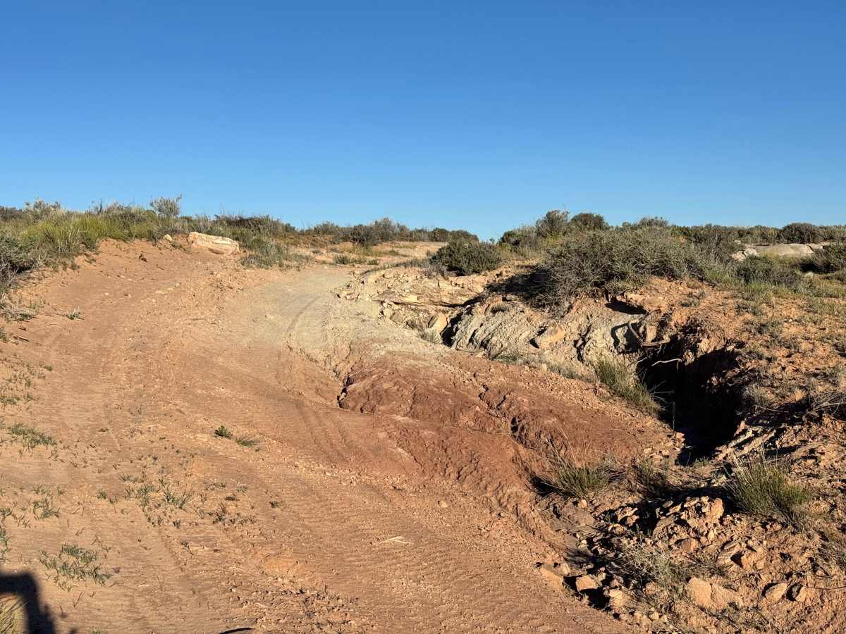
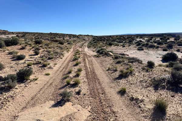
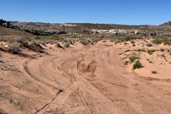
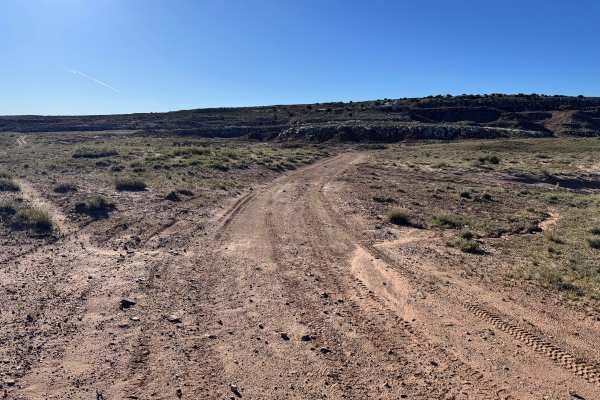
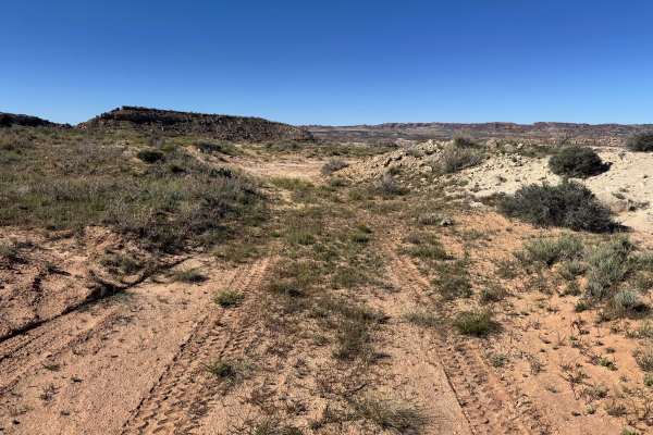
Non-Resident OHV permits apply to ATVs, UTVs, and dirt bikes. Plated street-legal vehicles typically do not need one on legal motorized routes. This route begins across the road from the Yellowcat Mining District and offers a scenic drive around Memphis Hill while passing through an area rich with mining history. Along the way, travelers will pass the approximate locations of the historic Memphis Mine and Black Ape Mine, adding an interesting historical element to the trip. Most of the route is fairly easy, consisting of sandy dirt two-track with scattered rocks and uneven terrain caused by natural erosion. The main obstacle is a wash near one end of the trail that can become more difficult over time as water runoff deepens ruts and shifts the surface. Careful tire placement is recommended in that section. Outside of the wash, the trail remains manageable and enjoyable for most high-clearance vehicles.
Difficulty
Most of this route is a straightforward sandy and lightly rocky two-track that is suitable for most high clearance vehicles. The primary challenge is the wash crossing, which can become more difficult as water erosion creates deeper ruts and uneven surfaces. Careful tire placement is recommended there. Outside of that section, the trail is generally mild with only minor rocks and uneven terrain. 4WD can be helpful, but it is not always necessary in dry conditions.
History
This region is closely tied to the uranium and vanadium mining booms that shaped eastern Utah in the mid-1900s. During the Cold War, demand for uranium surged, bringing roads, claims, camps, and small industrial sites into the desert. Evidence of that era still remains today in the form of old structures, fenced or barricaded mine openings, tailings areas, and abandoned access roads. These remnants are part of the area’s story: look, photograph, and respect them without disturbing anything.