Trail Overview
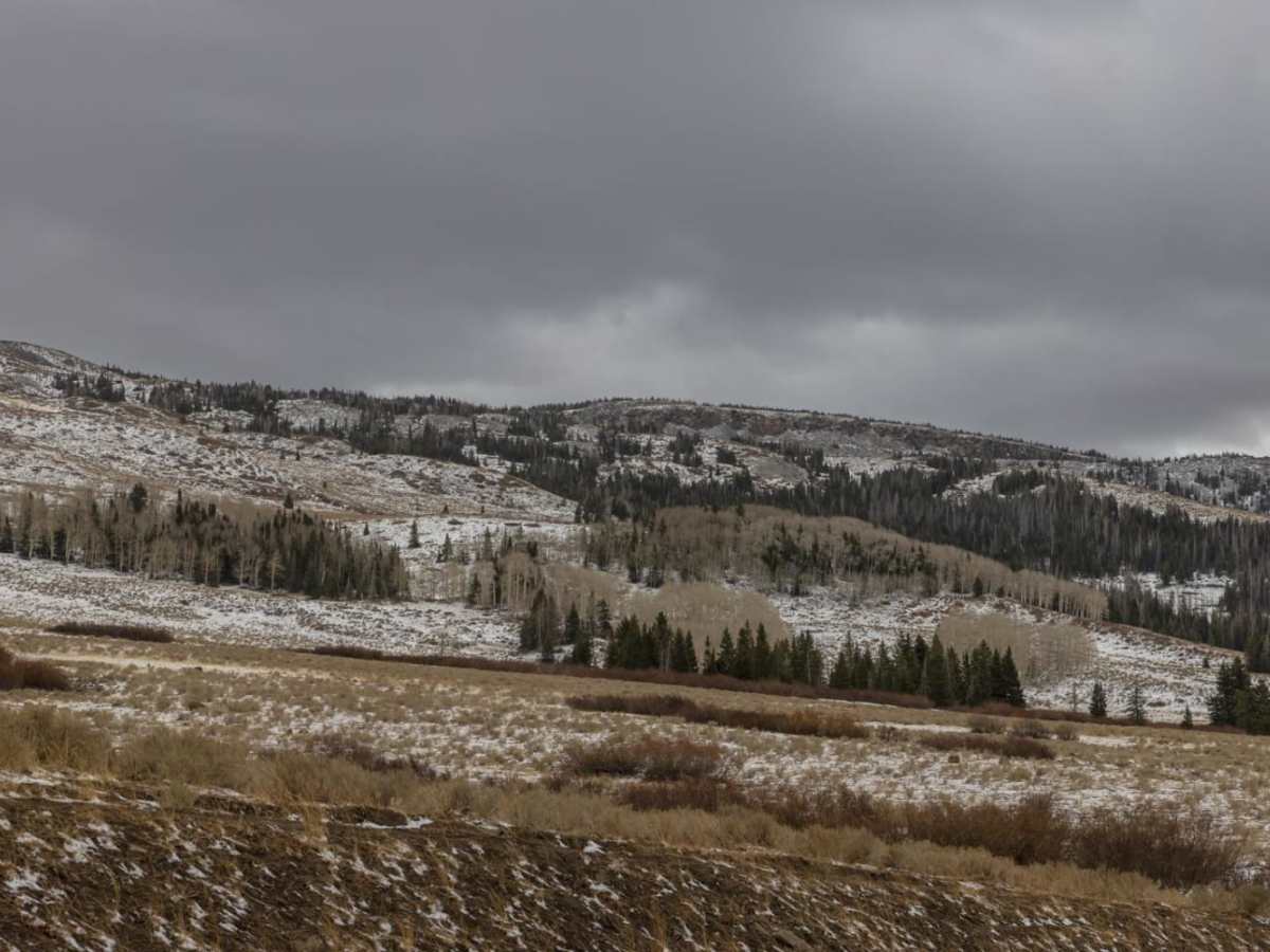
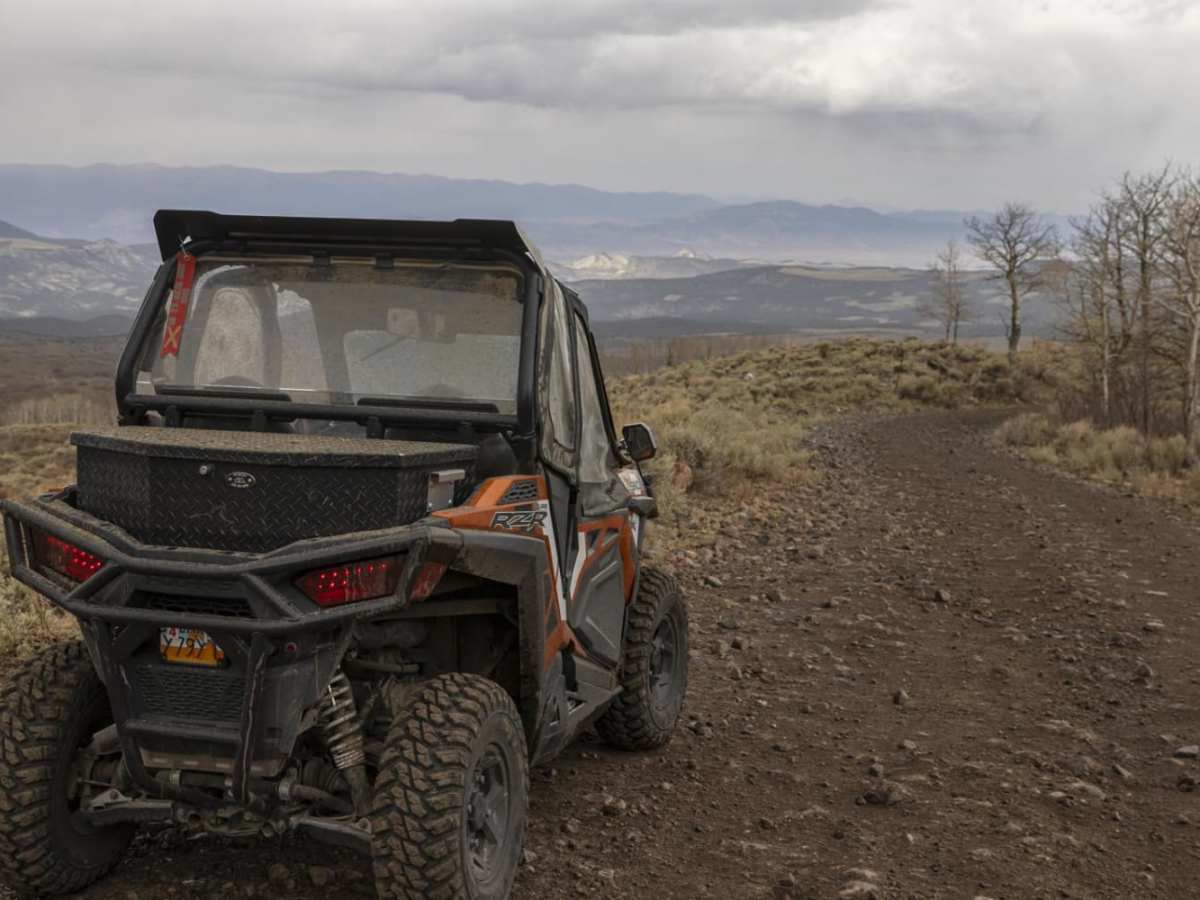
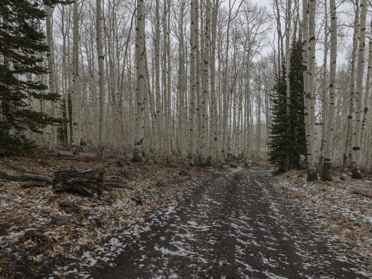
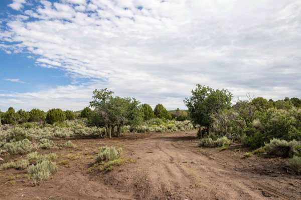
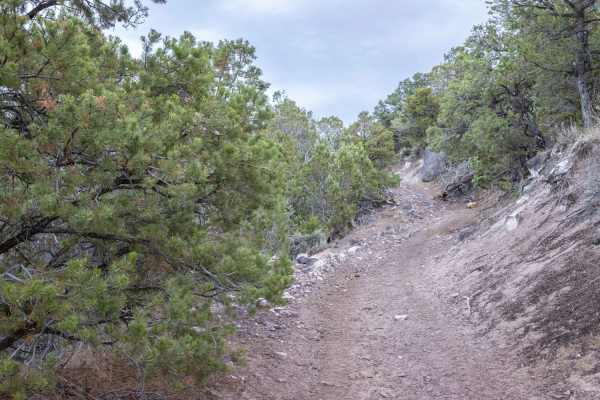
Little Lost Creek is an ideal route for beginner offroaders and scenic tourers looking to explore the rugged beauty of the transition zone near Salina, Utah. Stretching approximately 4.4 miles, this trail features a gentle elevation gain of about 454 feet, climbing from a minimum elevation of 5,743 feet to a peak of 6,183 feet. The route is primarily a gravel and dirt surface that is easily managed by most high-clearance four-wheel-drive vehicles and SxSs. While the majority of the trail is well-maintained and relatively flat, the experience becomes more engaging as it enters the Little Lost Creek area, where drivers must navigate several creek crossings.
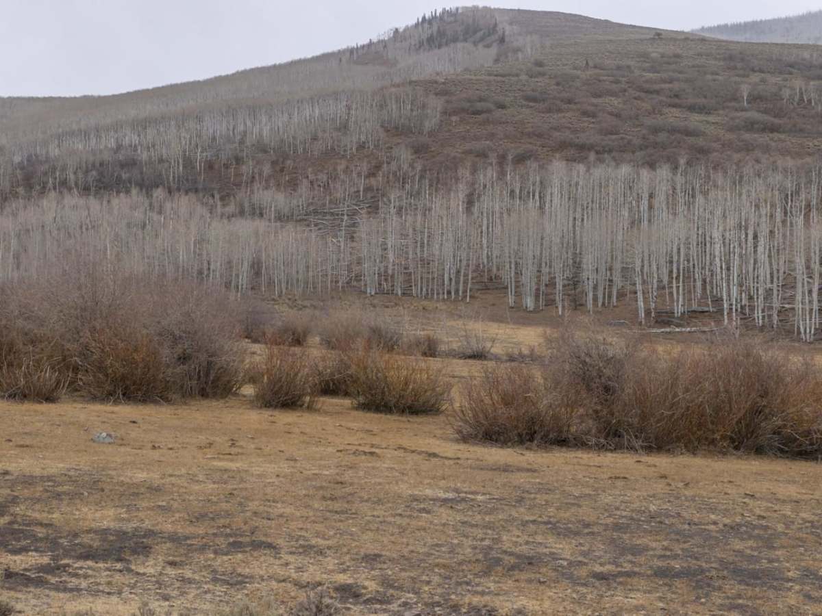
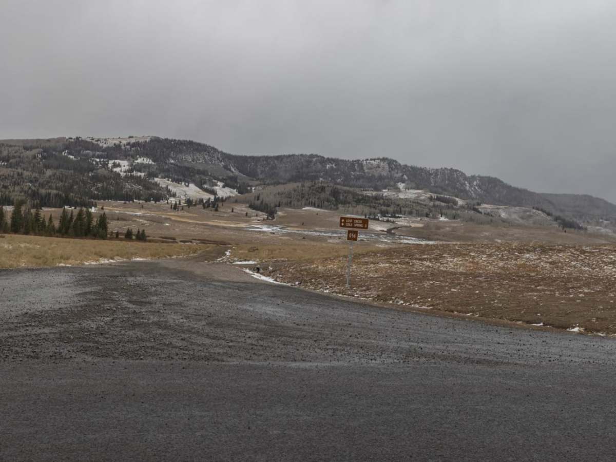
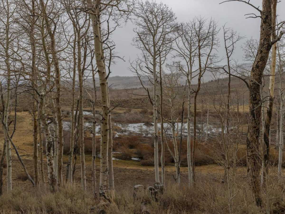
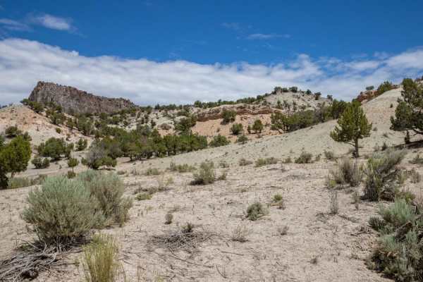
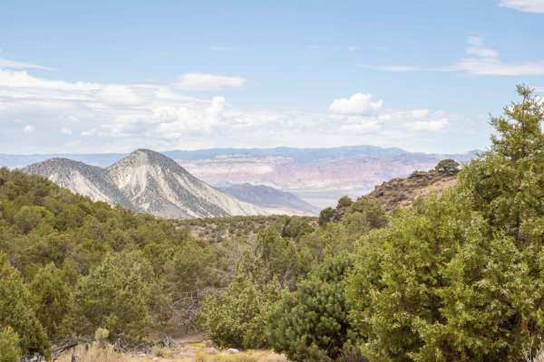
These creek crossings present the main technical challenge, as water depths can be highly unpredictable and change frequently depending on local beaver dam activity. The surrounding landscape is sparsely vegetated, offering expansive views and excellent opportunities for spotting local wildlife, particularly mule deer. Multiple unmaintained, primitive camping spots are scattered along the route, providing quiet options for those wishing to extend their stay. Access to the trail is straightforward via Sage Flat Road from the paved Lost Creek Road, making this scenic corridor an easy but memorable addition to any offroad itinerary in the region.