Pinenut Flat Trail

Total Miles4.3
Technical Rating
4Moderate
Best TimeFall, Summer, Spring
Trail Type50" Trail
Accessible By
Open Trail Map

Trail Overview

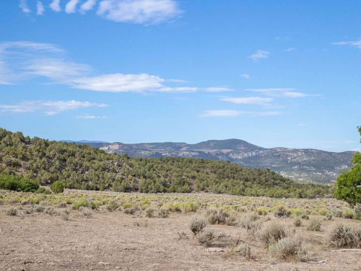
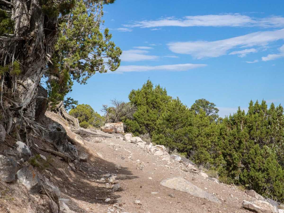
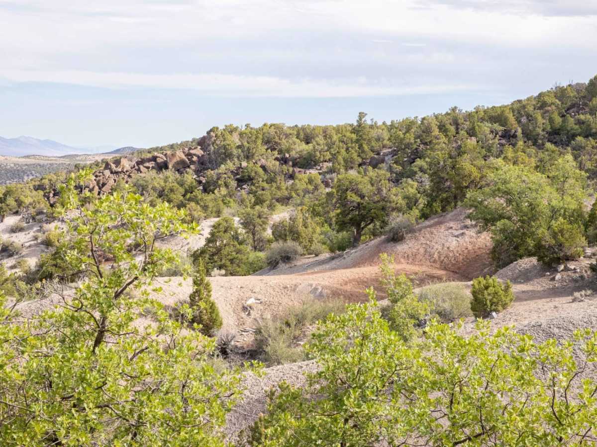
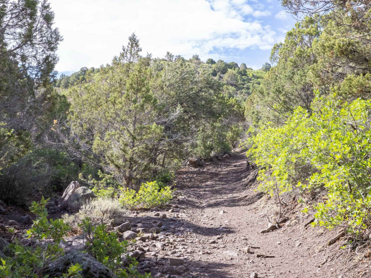
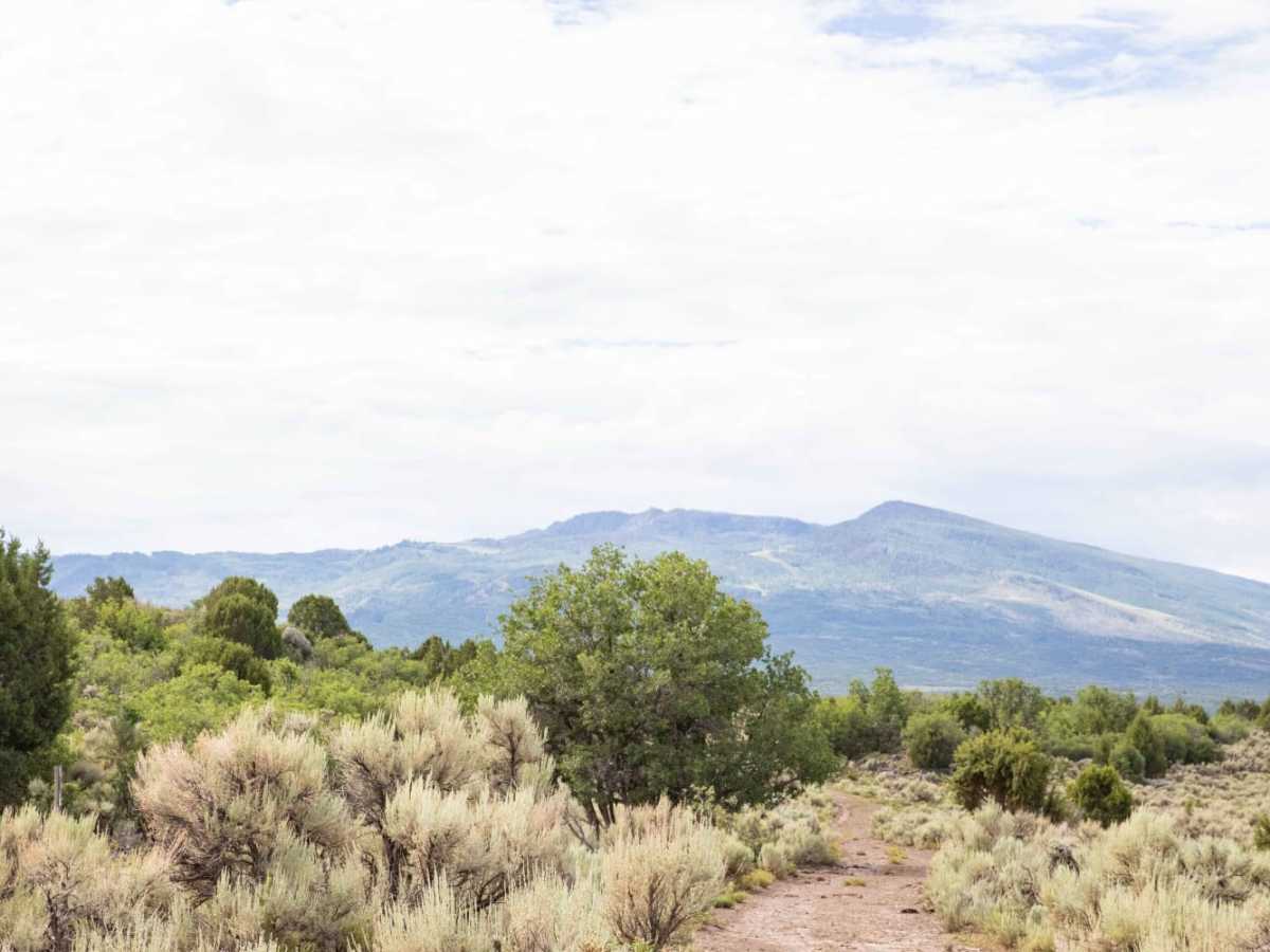
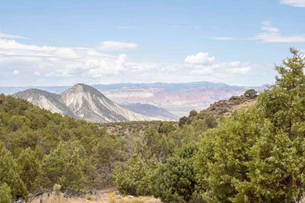
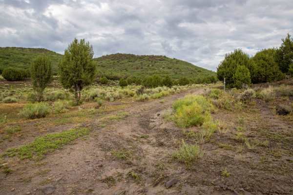
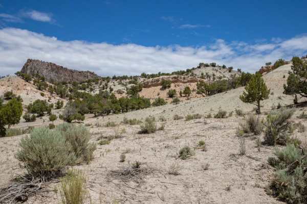
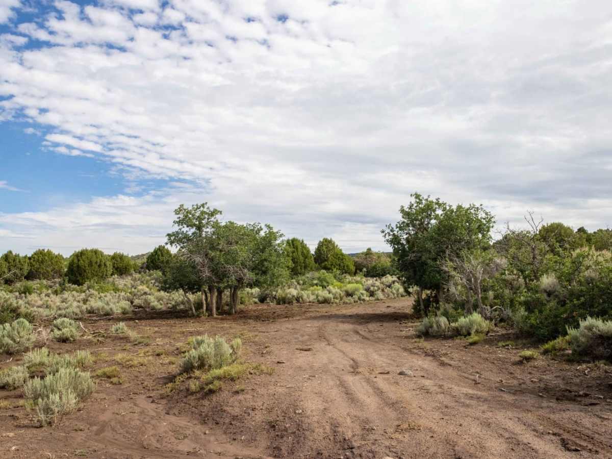
Pinenut Flat Trail is a 4.3-mile off-road route traversing Utah's cedar-covered hills and sagebrush flats. Climbing from 6,417 feet to 7,408 feet, the trail features a technical rating of 4. The western segment traverses narrow passages along barren clay hills, which are prone to seasonal washouts and require high-clearance 4WD vehicles or OHVs. The route transitions into open valleys frequented by elk and mule deer, linking Scorup Meadows Road and Upper Rocks Road.

Photos of Pinenut Flat Trail

Difficulty

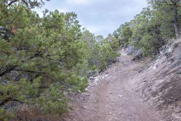
The West end of the trail follows along the side of a barren clay hill. Runoff can cause there to be washed out areas of the trail making it more difficult at times

Technical Rating

4

Pinenut Flat Trail Trail can be accessed by the following ride types:

  • Single Track
  • 50 Inch

Access Description

There are no permit requirements for this route, but the clay surface on the western segment is highly sensitive to wet weather. To prevent trail damage and avoid getting stuck, do not attempt this route during or immediately after heavy rain.

Pinenut Flat Trail Map

The onX Offroad Difference

onX Offroad combines trail photos, descriptions, difficulty ratings, width restrictions, seasonality, and more in a user-friendly interface. Available on all devices, with offline access and full compatibility with CarPlay and Android Auto. Discover what you're missing today!

Open Trail Map