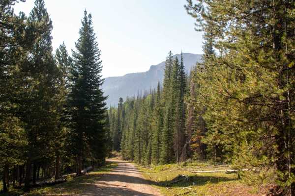
Headache Road - FS 10171

Total Miles3.1
Technical Rating
3Easy
Best TimeFall, Summer
Trail TypeFull-Width Road
Accessible By
Open Trail Map

Trail Overview

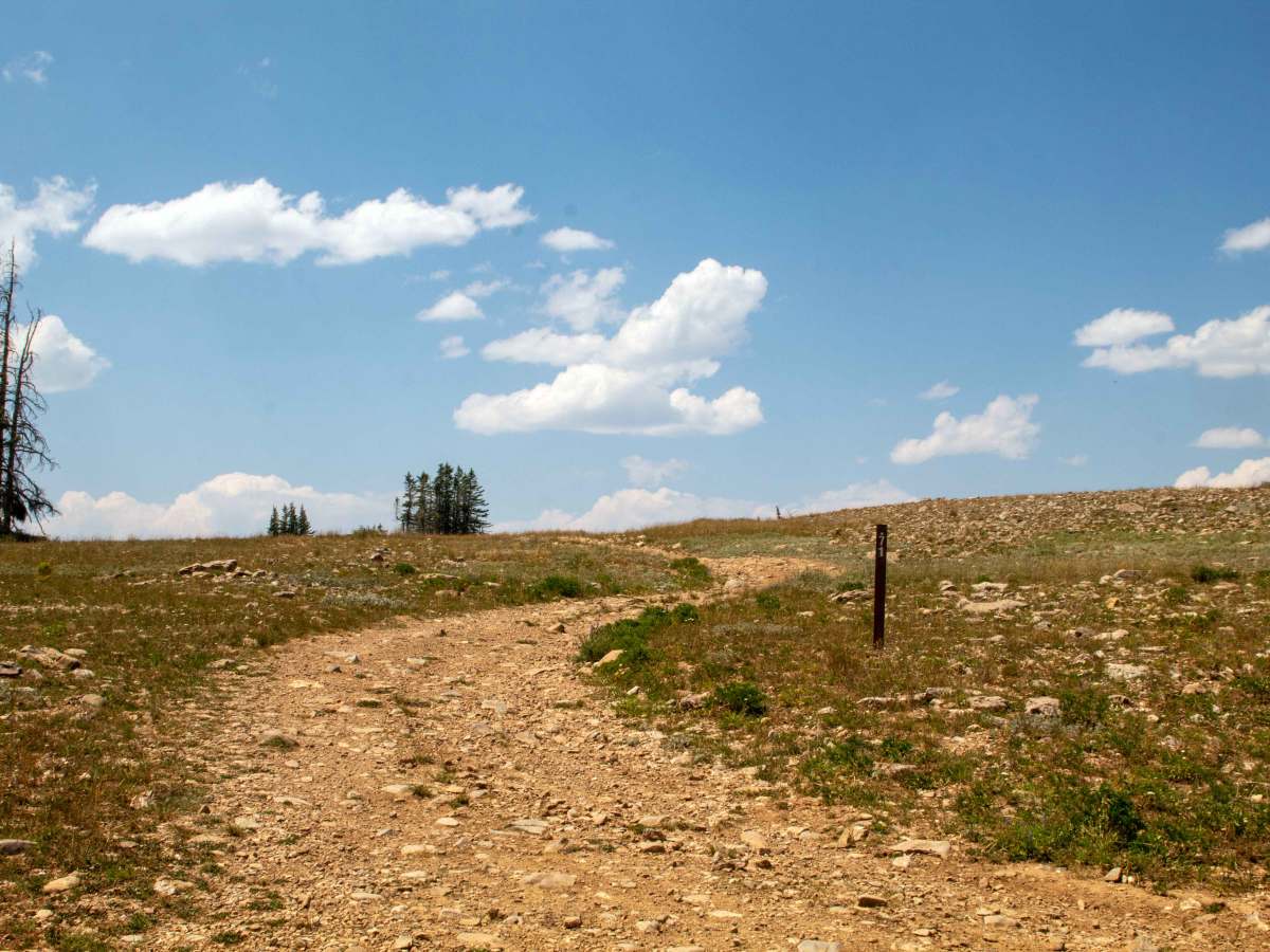
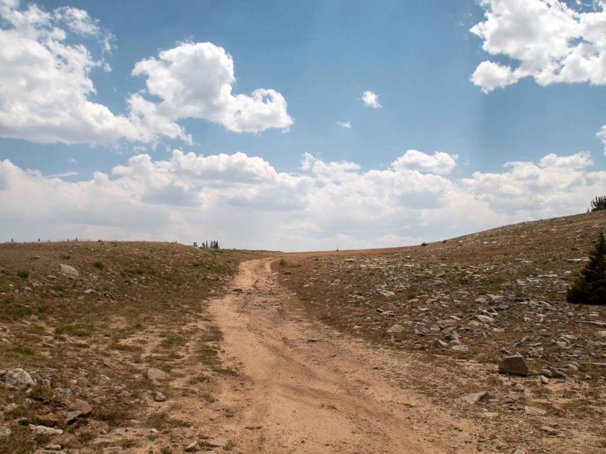
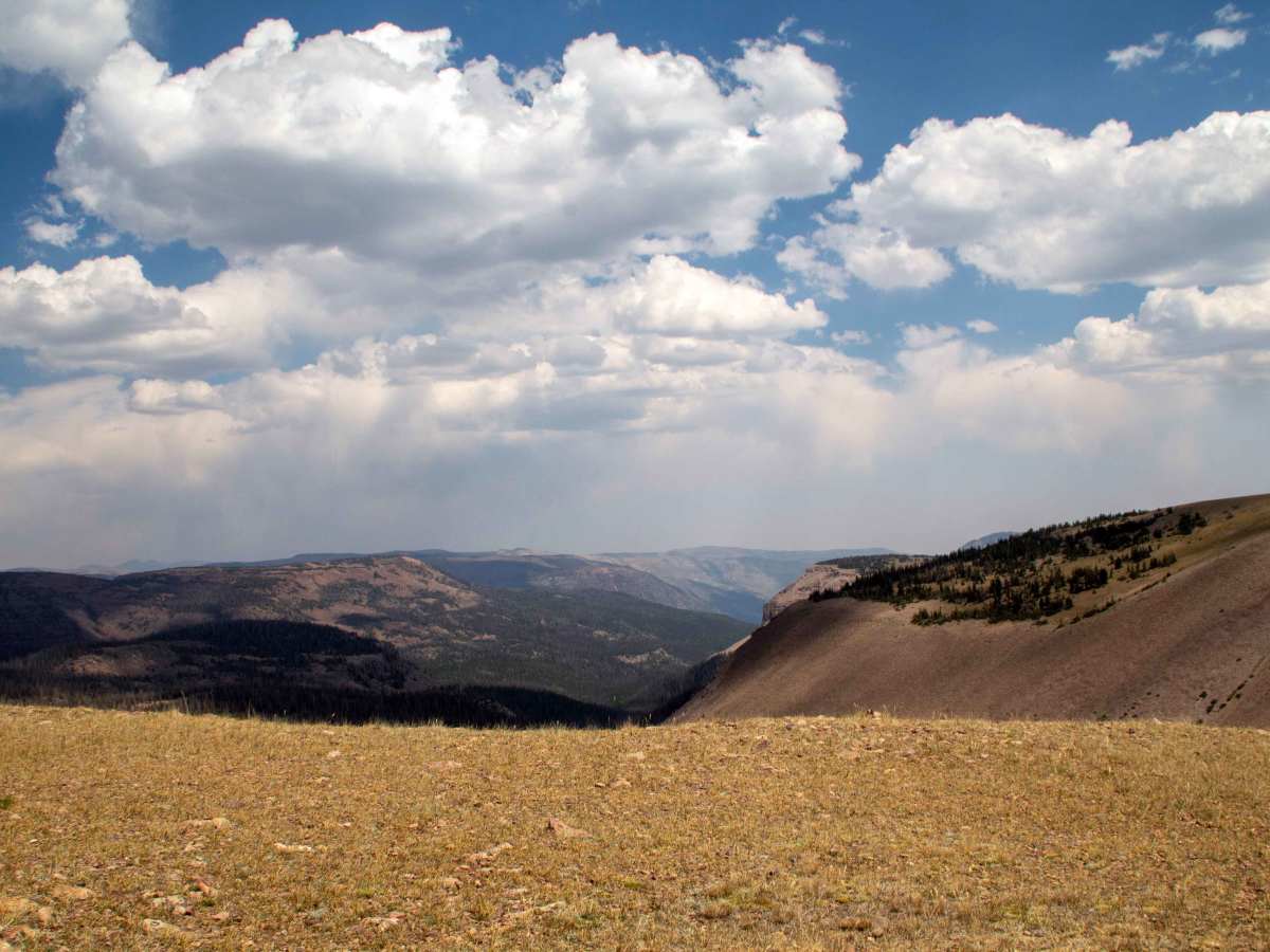
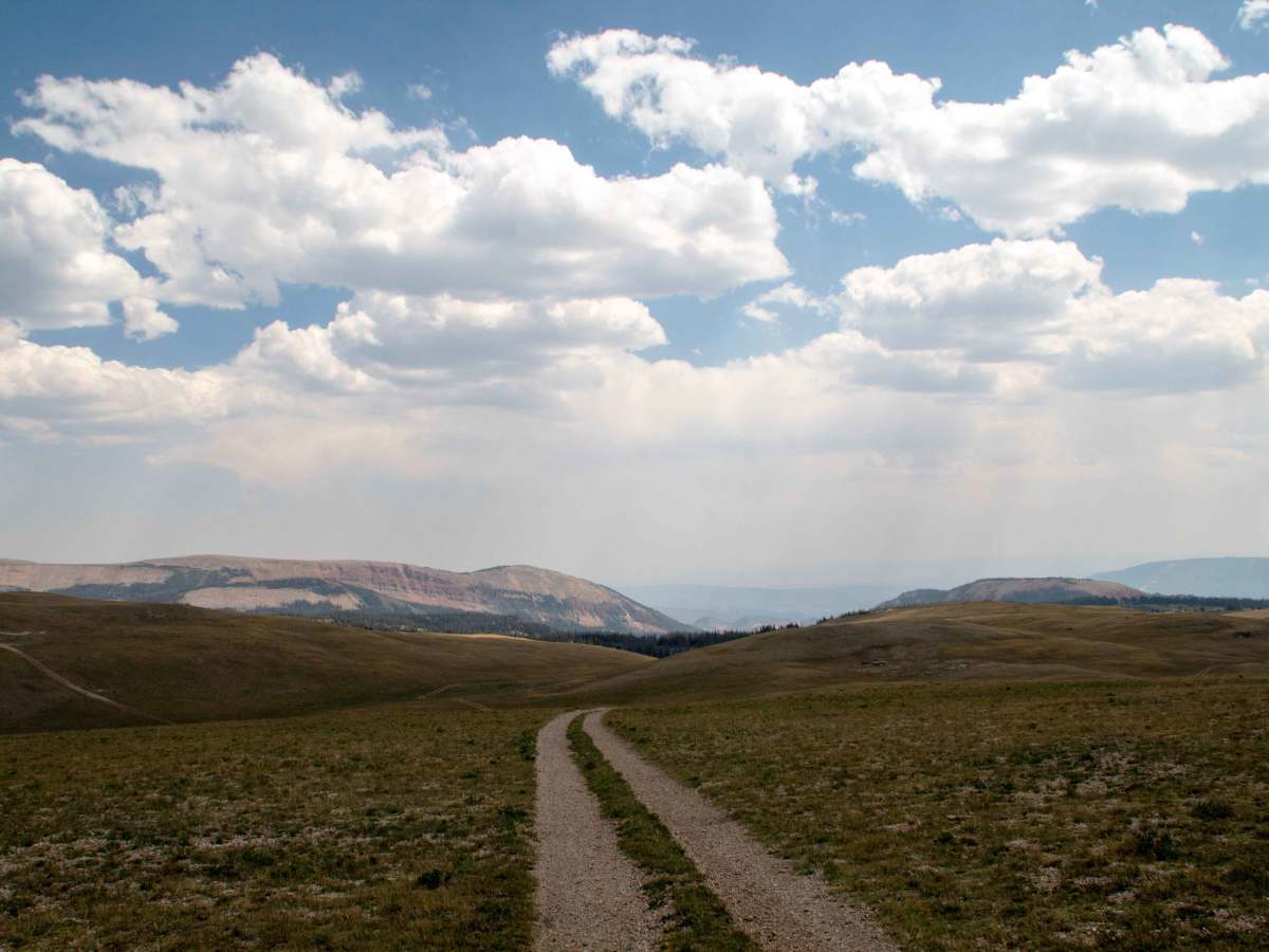
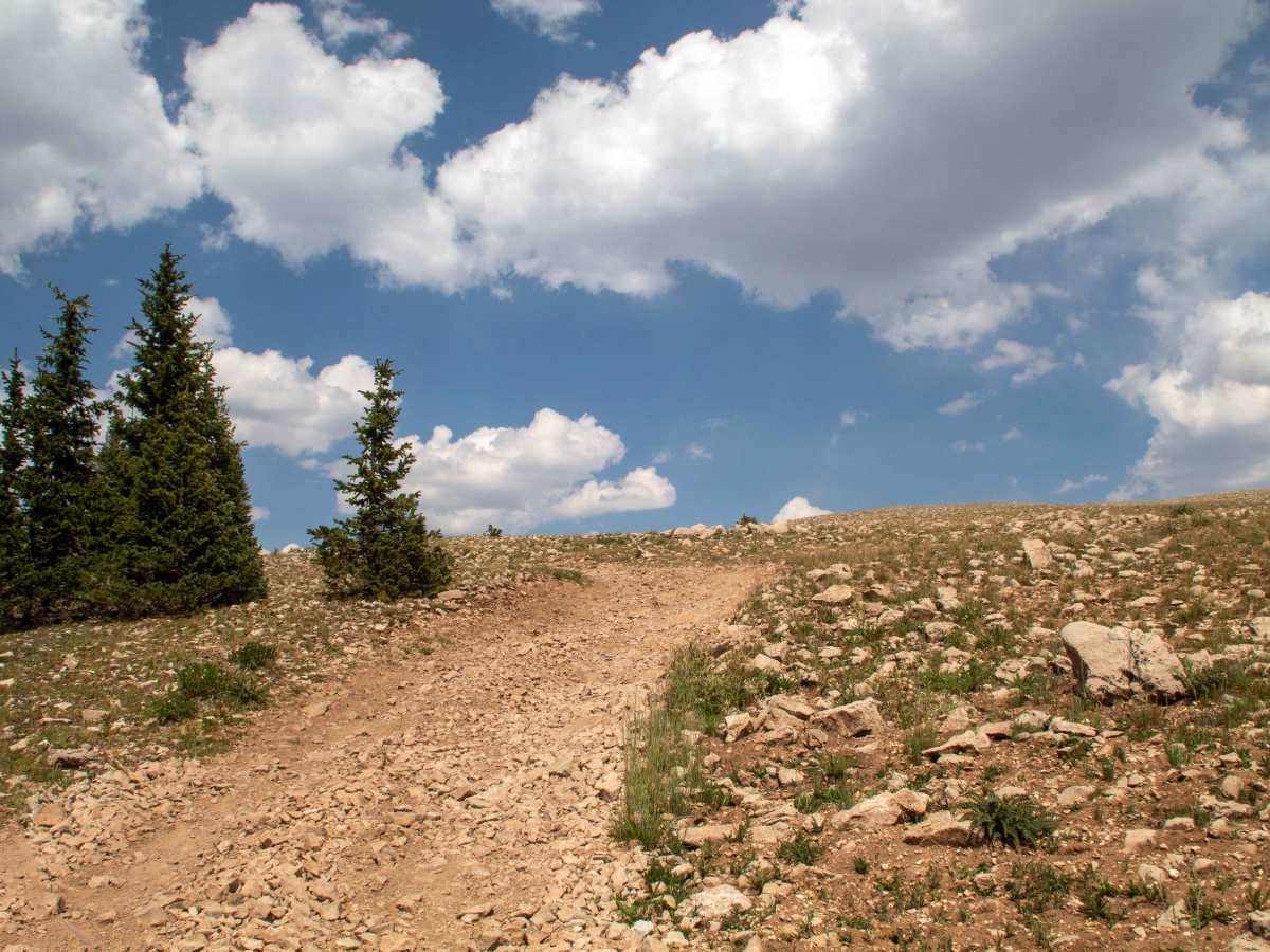
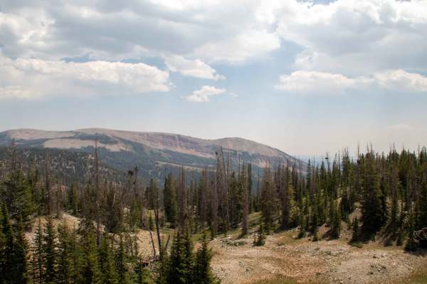
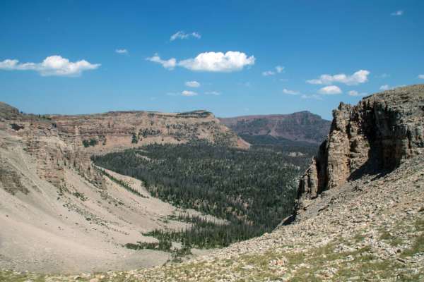
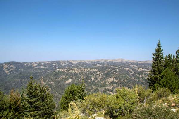
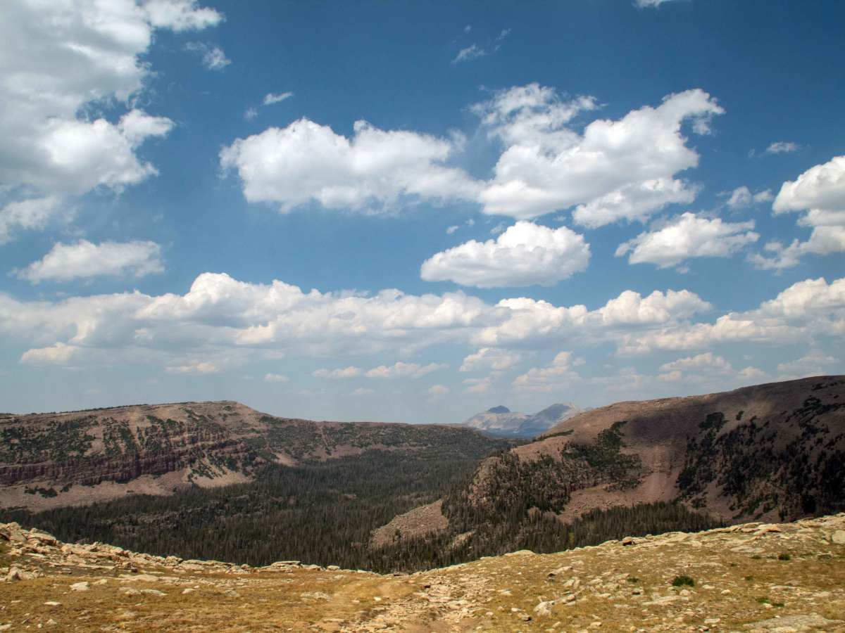
This trail branches off The Slope and heads north, climbing to 11,247 feet, making it the 2nd highest road in the Uintas. This trail is easy, with most of the trail being smooth through the open fields, with a couple of spots along the trail where some smaller rocks are embedded in the trail. The trail ends shortly after reaching the high point; it drops down lower to where it ends at a parking area, just above a short walk down to the viewpoint. This trail is open to all vehicles and is closed seasonally from October 1st through June 1st, but it may be impassable until late June or early July, depending on the previous winter's snowpack.

Photos of Headache Road - FS 10171

Difficulty

This trail is mostly smooth, with a few spots with some smaller rocks embedded in the trail.

Technical Rating

3

Headache Road - FS 10171 Trail can be accessed by the following ride types:

  • Single Track
  • 50 Inch
  • 60 Inch
  • High Clearance
  • Full Width

Headache Road - FS 10171 Map

The onX Offroad Difference

onX Offroad combines trail photos, descriptions, difficulty ratings, width restrictions, seasonality, and more in a user-friendly interface. Available on all devices, with offline access and full compatibility with CarPlay and Android Auto. Discover what you're missing today!

Open Trail Map