Trail Overview
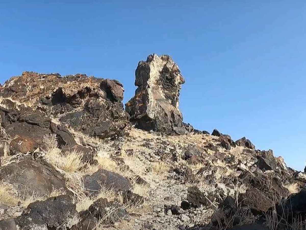
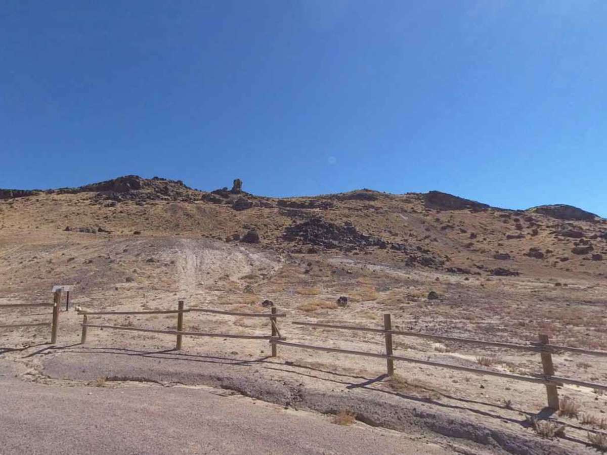
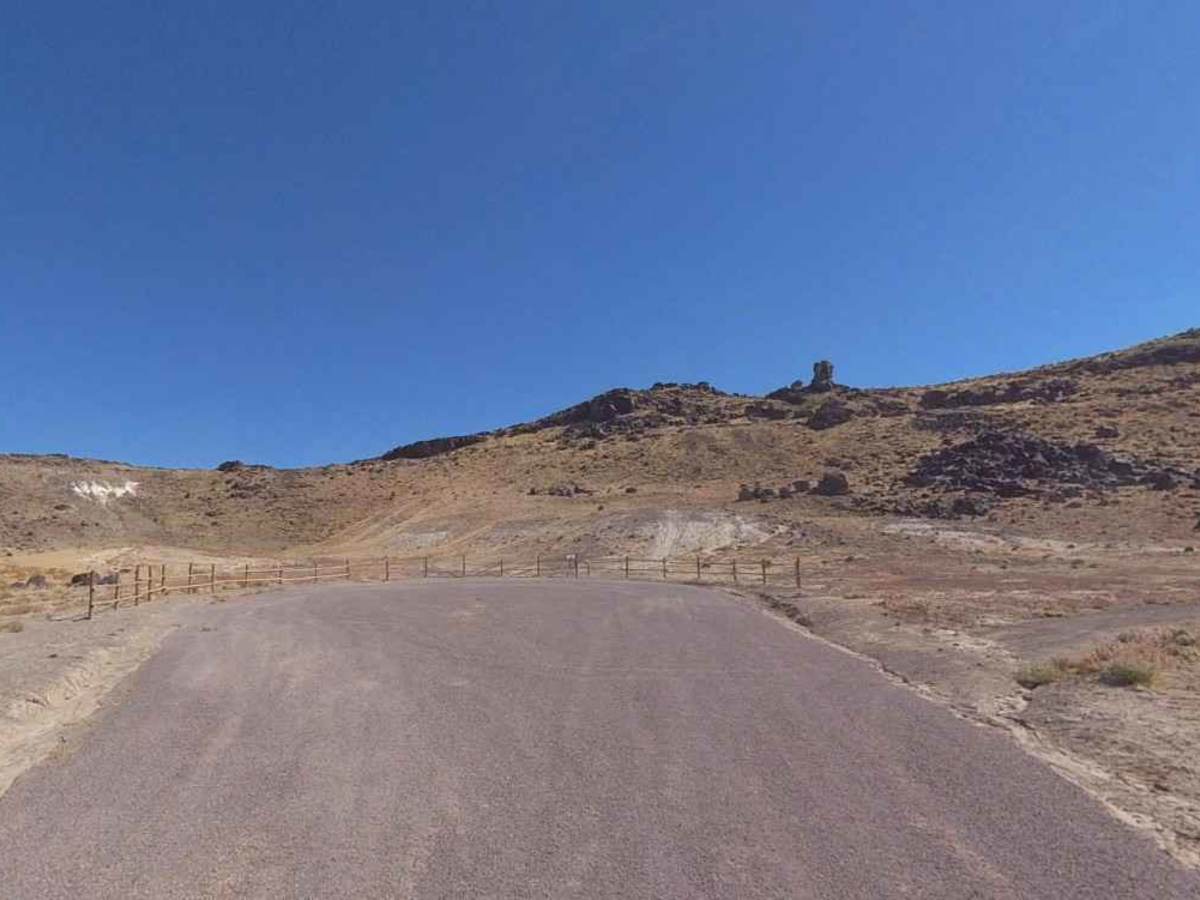
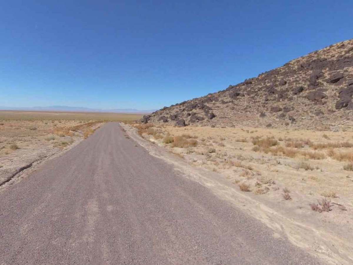
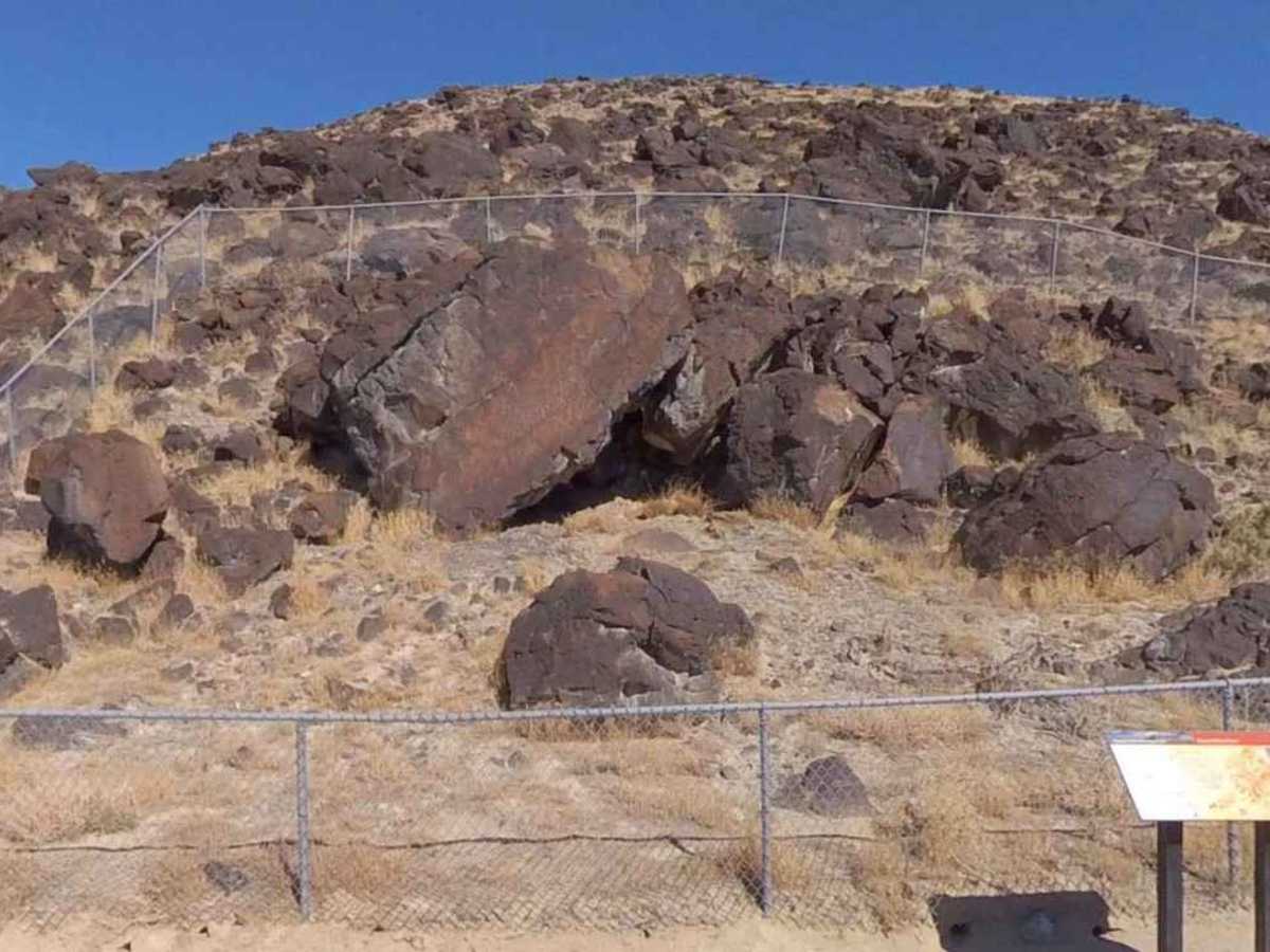
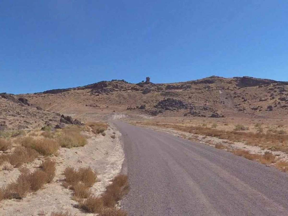
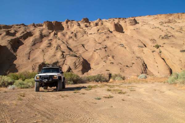
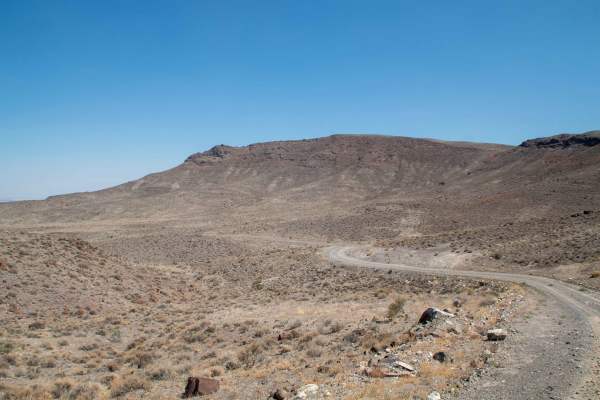
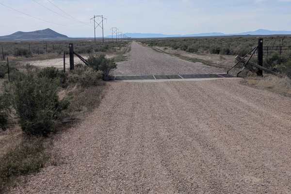
Great Stone Face is a destination trail to a unique rock formation located in Millard County. This 1-rated trail is a 5.7-mile point-to-point, well-maintained trail that any 2- or 4WD vehicle should be able to negotiate. The trail consists of packed dirt/gravel and is generally well graded the entire length. There are two destination features along this trail. The first is a petroglyph site behind a fenced area located at 39.23445, -112.75408. Multiple rock art images can be seen on the rock panels. The trail continues for a short distance, ending in a parking corral. On this remote hillside in the Sevier Desert is a rock formation that rises from a volcanic outcropping. The Great Stone Face can be seen at the top of the ridge. From the parking area/trailhead, it is a 300-yard uphill hike to the Great Stone Face: 39.23329, -112.74884. A narrow trail leaves the trailhead and climbs the slope steeply. Near the pillar, the trail splits and makes a loop around the Great Stone Face tower. As you approach it, look for the face on the right side of the pillar. Individuals have been attracted to the formation because in it they can discern the outlines of a man's features: head, brow, nose, and mouth. Records indicate that it has several names, including “Great Stone Face” and “Guardian of Deseret”. The latter being given by Mormon settlers due to the supposed resemblance to the church founder Joseph Smith. South of the parking area along the base of the basalt rock there a multiple petroglyph sites including those located at Site 1-39°13'42.36"N, 112°45'29.74"W, Site 2- 39°13'39.82"N, 112°45'33.04"W, and Site 3- 39°13'35.36"N, 112°45'38.74"W. Wandering around the hillside can lead to the discovery of other petroglyphs located on the basalt rock. The Sevier Desert has a number of these volcanic flows that can be explored, many of which include petroglyphs. Cellular coverage is limited in this area. The nearest fuel and services are located in Delta, 16 miles to the northeast.
History
One of the area's earliest histories, "100 Years of History in Millard County," published by the Daughters of the Utah Pioneers in 1941, says the formation was first recognized in 1926 when LDS Bishop Joseph Damson of Deseret and Frank Beckwith, publisher of the Millard County Chronicle, spotted it from the desert floor and instantly saw a resemblance to paintings of Joseph Smith. The region of lava rock in this area was once called "The Devil's Kitchen," and even today many residents think the Great Stone Face has a bit of a split personality. When viewed from its east side, the formation is referred to as "The Devil's Chimney." The Devil’s Kitchen petroglyph site is located roughly 18-miles south east of this location.