Trail Overview
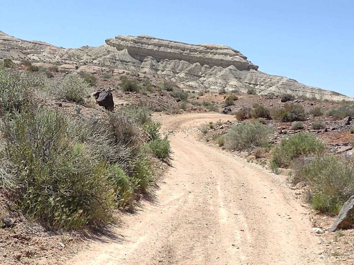
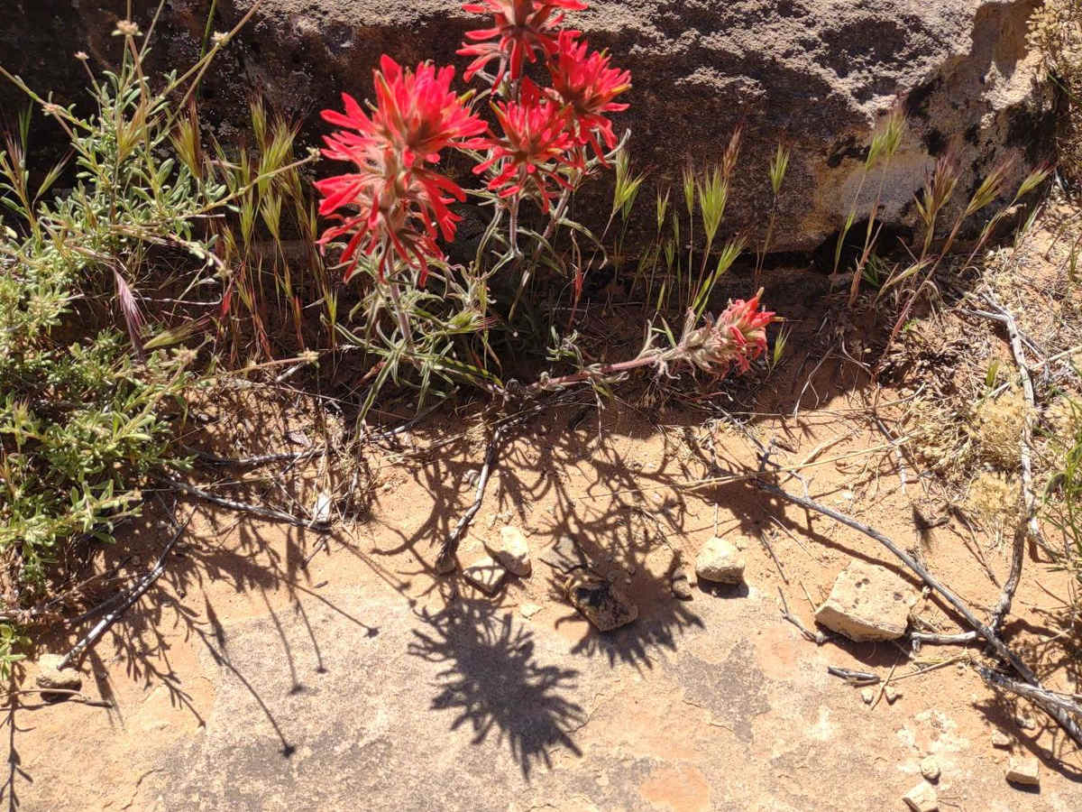
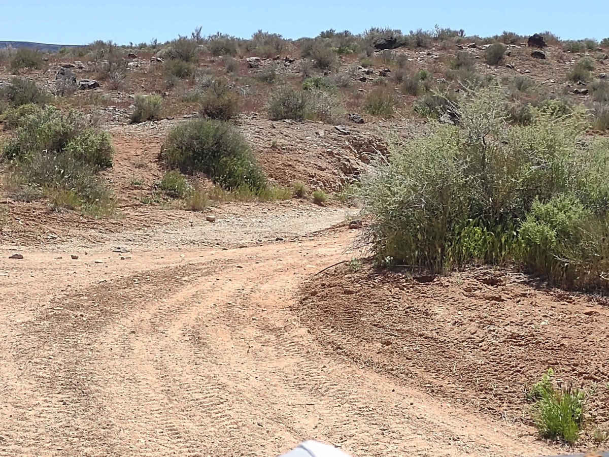
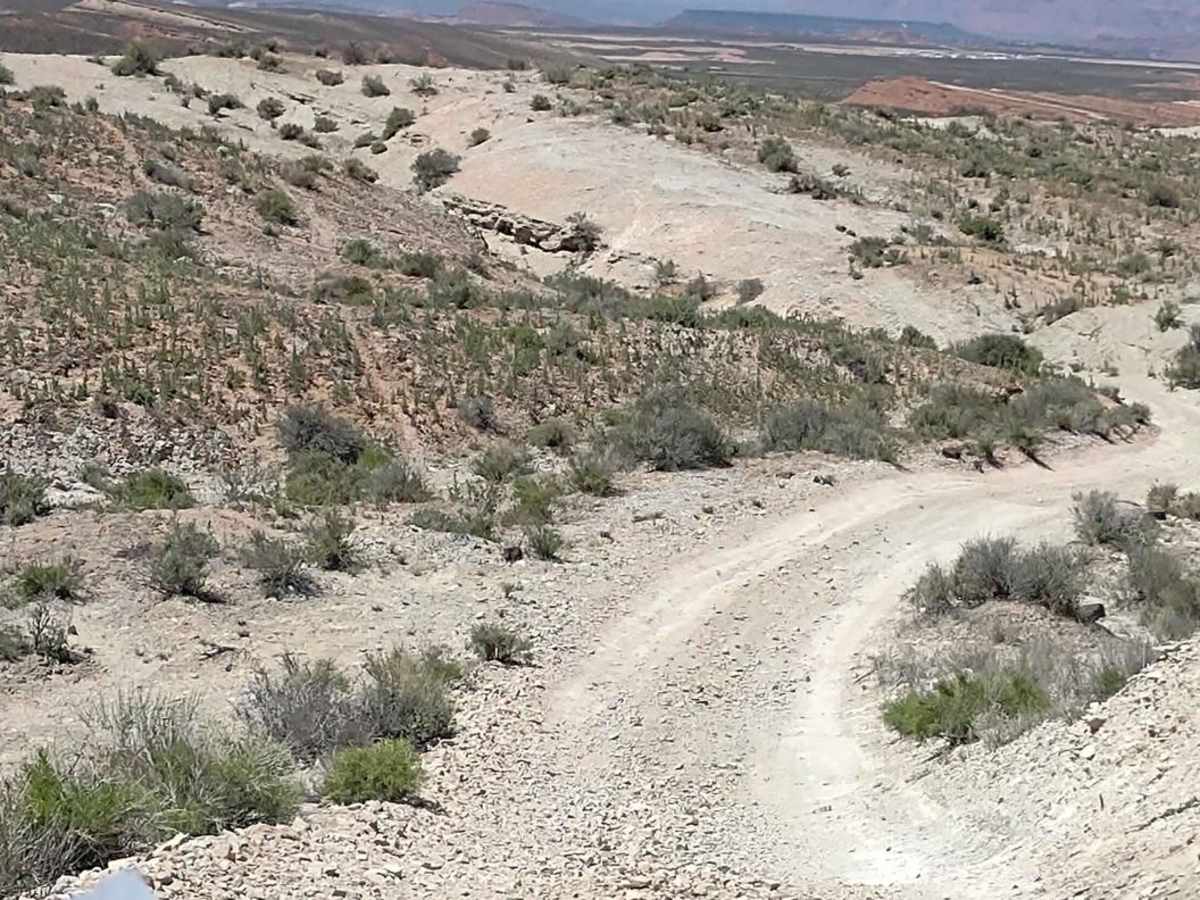
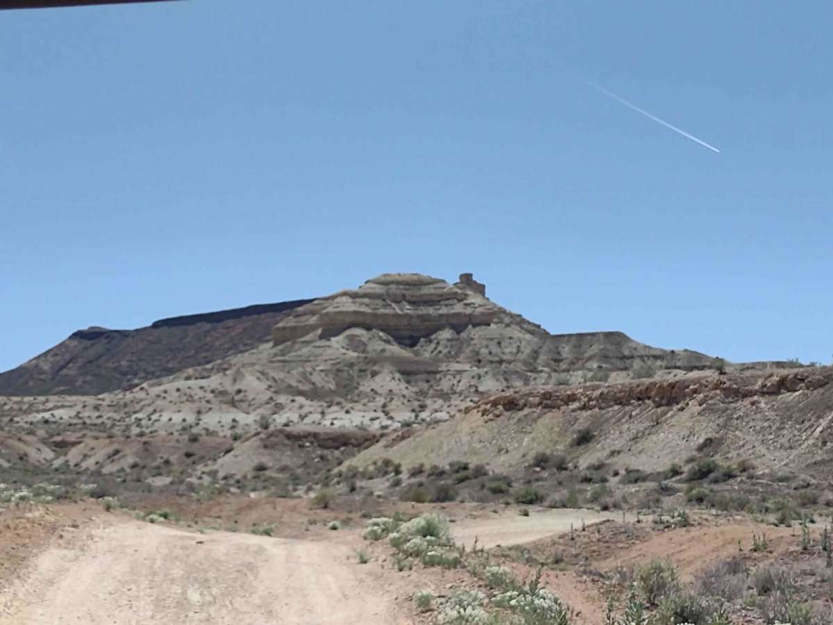
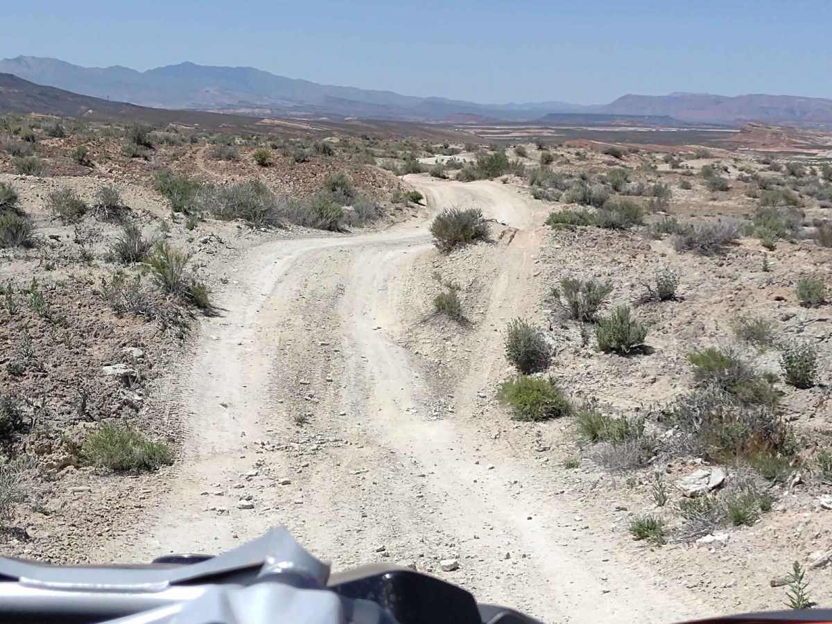
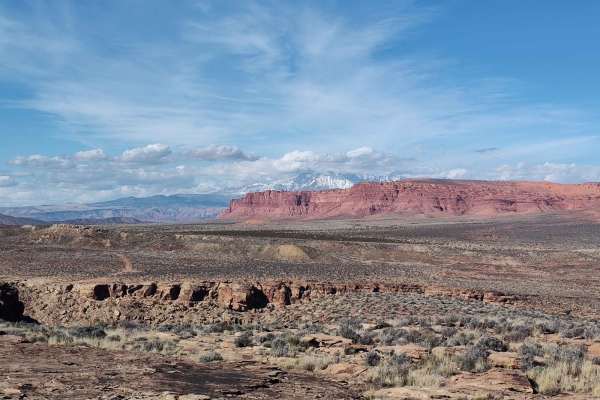
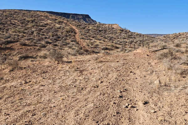
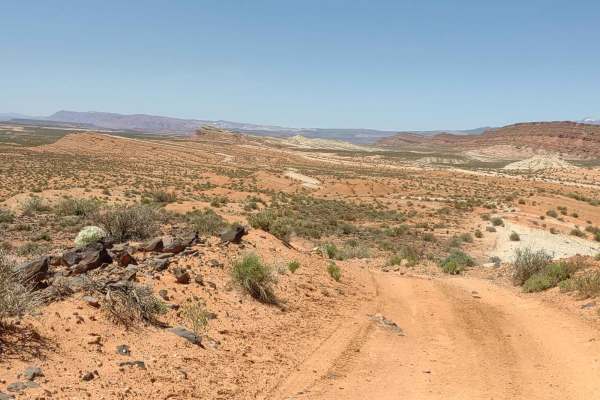
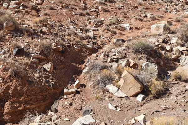
This spur trail exits the East Mesa Wash about halfway up the wash and runs to the west where it connects with the Ft Pearce Wash/Dutchman Draw Trail. The day we rode it the flowers were in bloom, the cacti were blooming, and it was beautiful. You move from the white/gray rock and dirt into the red rock and dirt as you move to the west. Little hills and draws, but nothing difficult. Plan for a full day of riding in this area, as there are a LOT of trails. Bring plenty of fuel, it's not hard to put on 100 miles or more in a day. This is an area to avoid during a heavy rain, as these draws all get water from many sources and are prone to flash floods. This area will be open in the winter to ride as snow doesn't stay on the ground for more than a day. You're in northern AZ in this area, but you still need the Utah OHV sticker and education course certificate because all these trails lead north into Utah. In February of 2023 Utah began enforcement of a new law, which requires an online education course for all off-roaders. The free course is available online. Google "Utah OHV Education Course," and the free test will pop up. It's an easy test that will only take 15-30 minutes, and it's required for all off-roaders, Jeeps, SXSs, dirt bikes, ATVs. Kids under the age of 18 will have to take the Youth Education Test at the same site. After completing the test, print out the certificate to carry with you which shows you completed the course. We have taken it, and it's really no big deal. Good reminders about trail etiquette and trail preservation.