Trail Overview
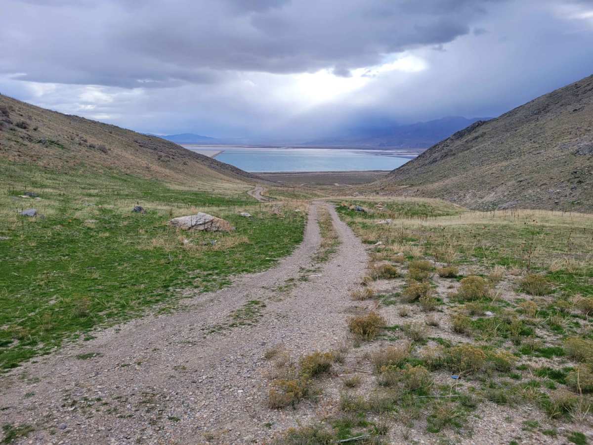
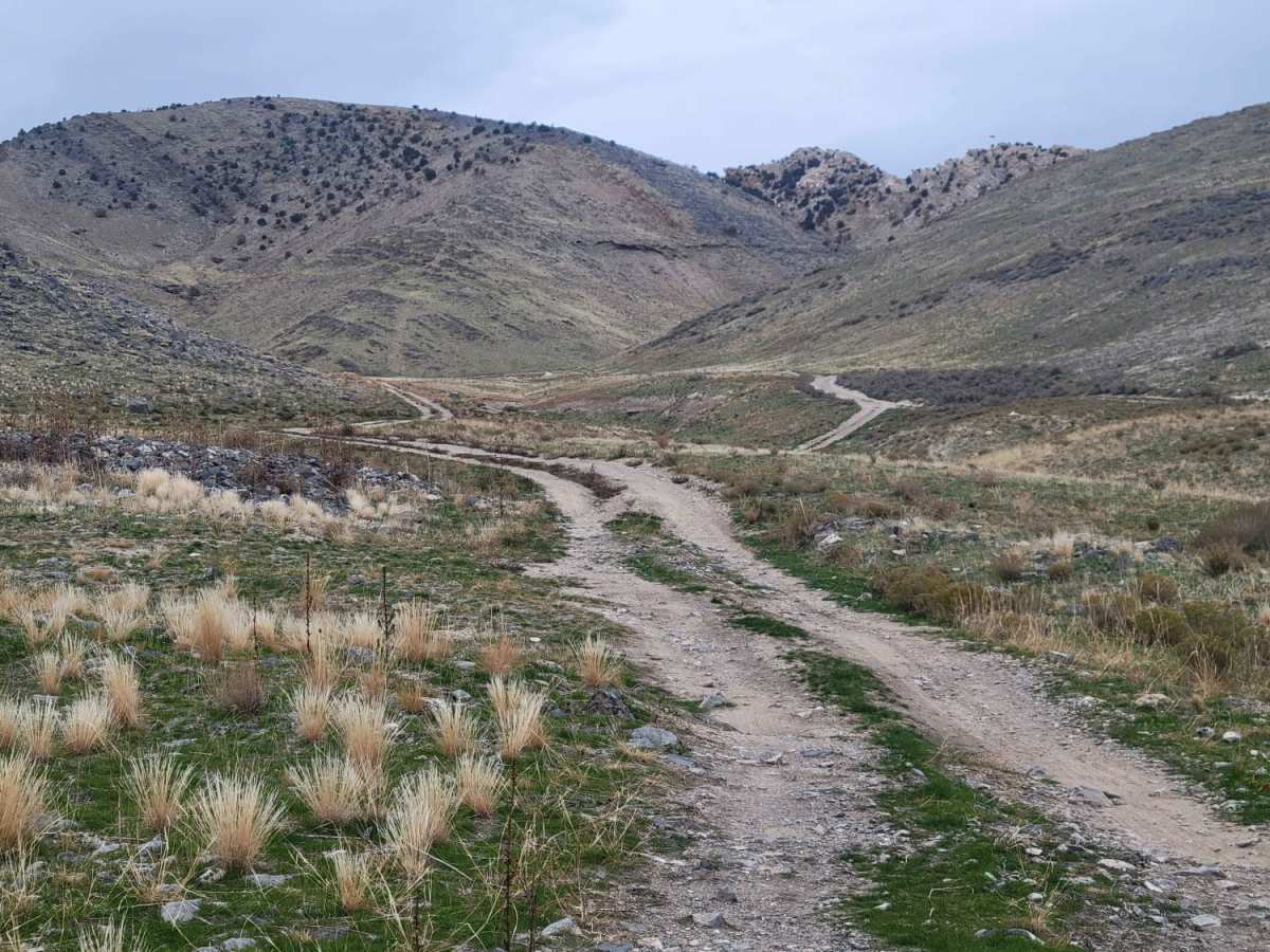
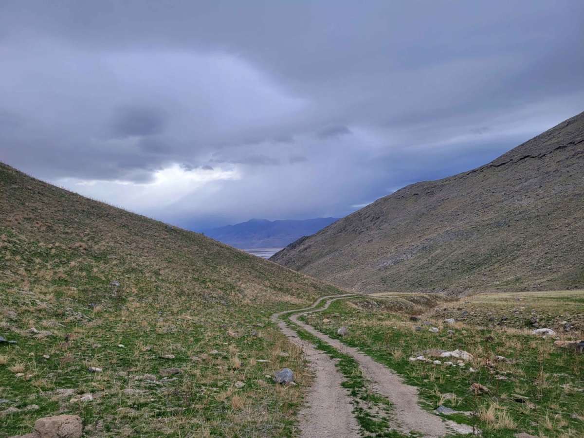
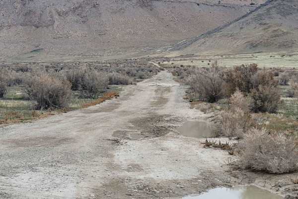
Dead End Pass is an easy, scenic route on Stansbury Island perfect for beginners, stock high-clearance four-wheel-drive vehicles, and SxSs looking for a quick climb with expansive views of the Great Salt Lake. Spanning approximately 0.86 miles with a steady elevation gain of about 384 feet, this short and narrow trail winds gently up the hillside. The path is straightforward with no major technical obstacles, making it highly accessible for most stock rigs. Along the way, travelers can take in sweeping vistas of the surrounding desert landscape and the salt flats below.
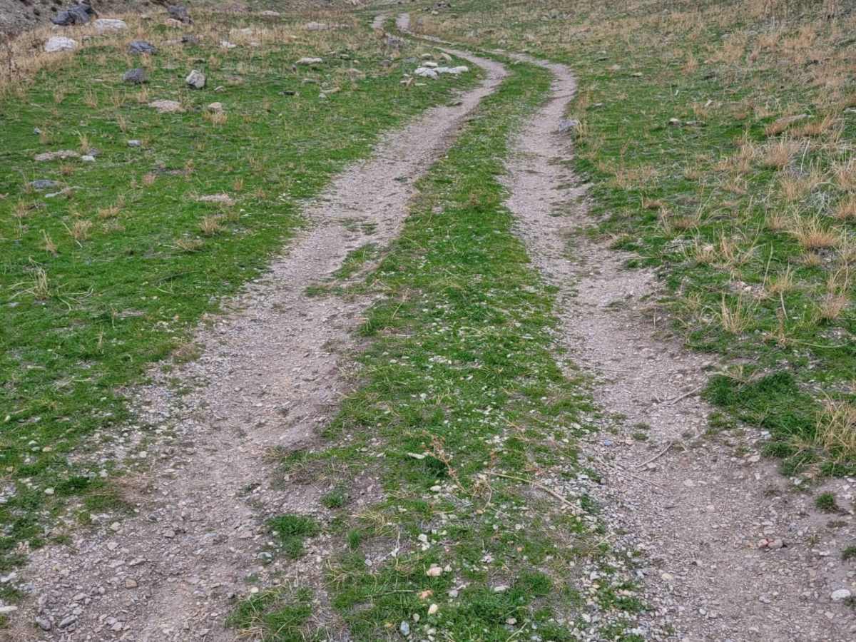
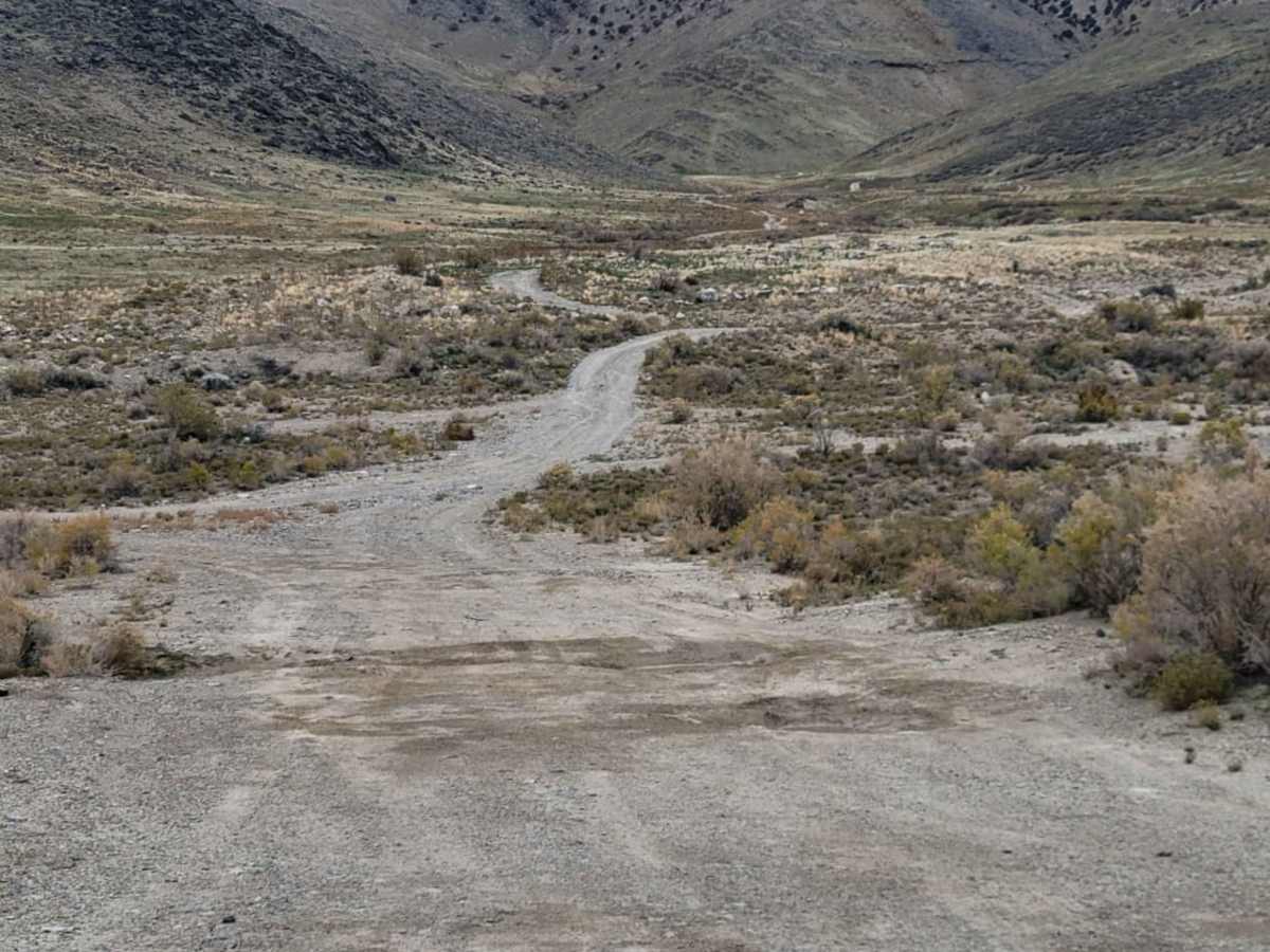
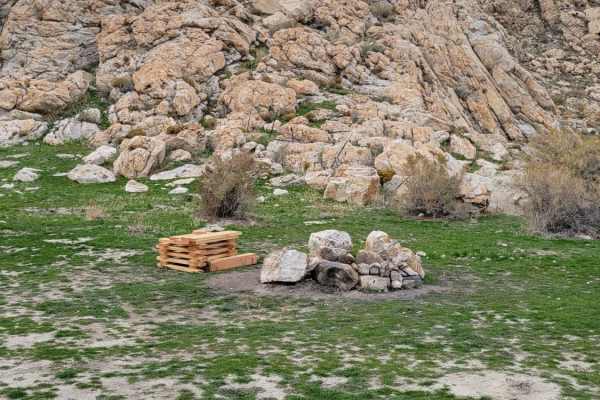
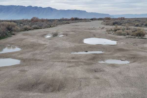
The trail features a primary surface of unpaved dirt and loose gravel, which can become slick and muddy during wet weather or winter months. As the trail climbs to its maximum elevation of 4,620 feet, it narrows, leading to a cul-de-sac that serves as the final dead end. A few established primitive camping spots with fire rings are located along the route, offering quiet places to camp with excellent views of the lake. Visitors should ensure they carry enough water and supplies, as there are no services on the island, and should tread lightly to preserve the fragile desert ecosystem.
Difficulty
This short, narrow little trail leads up into the hillside but ultimately comes to a dead end. There are a couple of spots with fire rings that people may have camped at before. There is nothing difficult about this trail. Expansive views down the hill and over part of the Great Salt Lake.
Access Description
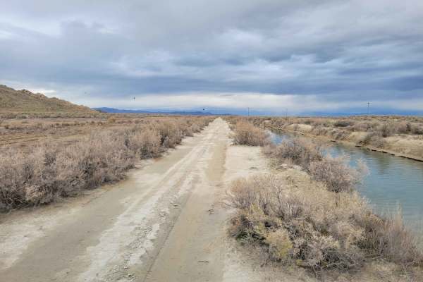
The trail is located on public land managed by the Bureau of Land Management (BLM) and is free to access. No permits are required, but visitors must pack out all trash, follow local campfire regulations, and respect private property boundaries marked on the island.